
Fish Creek Park western trails
This report has us visiting Fish Creek Provincial Park, an urban green space nestled in a valley at the south end of Calgary. One of the biggest parks in town, it’s home to a huge network of hiking trails, some of which we’ll explore this day. Our route, a combination out and back with a loop end, takes us through open meadows and wooded areas. The park is wild in places and at times it feels like we’re in the mountains and far removed from the busy city.
There are so many routes one can follow in the park, some official and some not. Most major intersections have maps, but not so for the lesser junctions. Making this an even bigger challenge, some trails have been decommissioned or have been washed away by recent flooding. Route finding skills may be needed if you venture off the main paths.
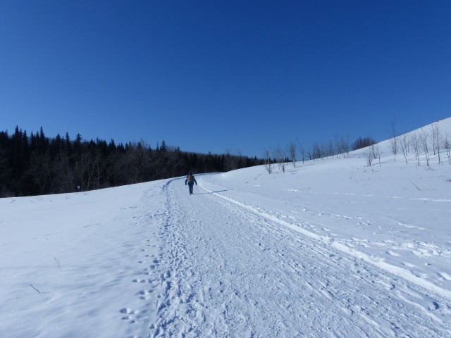
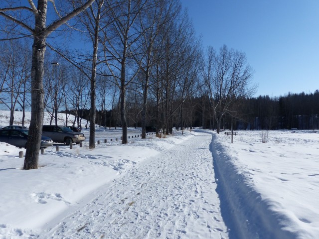
We’ll start our adventure at the Glennfield area just east of busy MacLeod Trail. We’ll head west for a time before climbing to the top of the valley. We’ll then turn around, drop down and head back the way we came. Most of our route is on main trails and as such are plowed in the winter. Only a few sections were not, but they were nicely packed down and easy to walk on. We encountered no ice this trip, but if the weather warms up, I can assure you some sections will be slippery. Watch those steep hills.
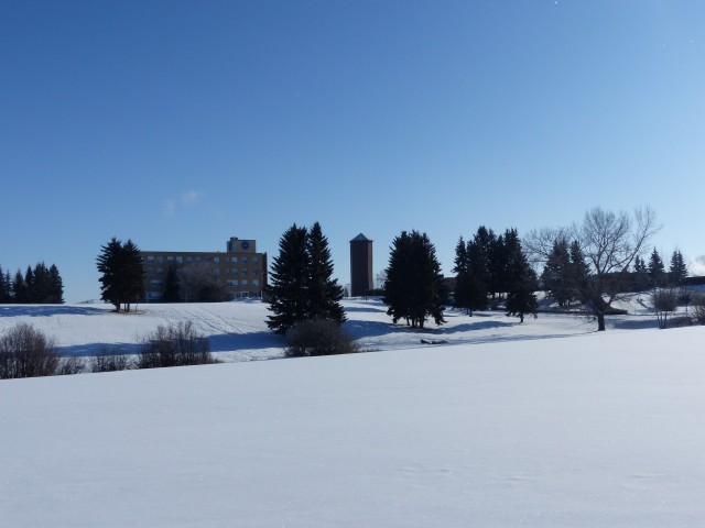
Arriving at the parking spot, we turn around and have a good view of the old water tower at St Mary’s College. It’s old and is quite crooked, which is hard to see from this distance.
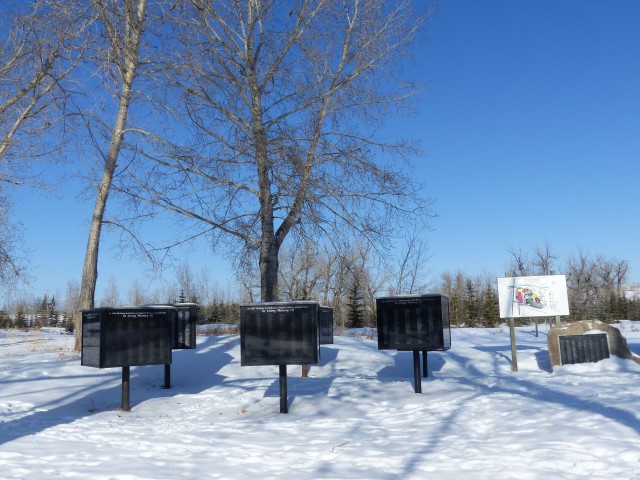
Heading out we quickly come to a memorial in remembrance of those who have passed. Each time the name of a deceased is added to one of the plaques, a tree is planted in the park. Connie’s sister is sadly on that list.
Heading toward Fish Creek, we intercept the main east/west trail, which we’ll follow for much of our hike. Paralleling the creek, we duck under the busy MacLeod Trail and almost right after two train bridges (CPR and LRT). The concrete base for the newest bridge has some neat concrete reliefs of animals.
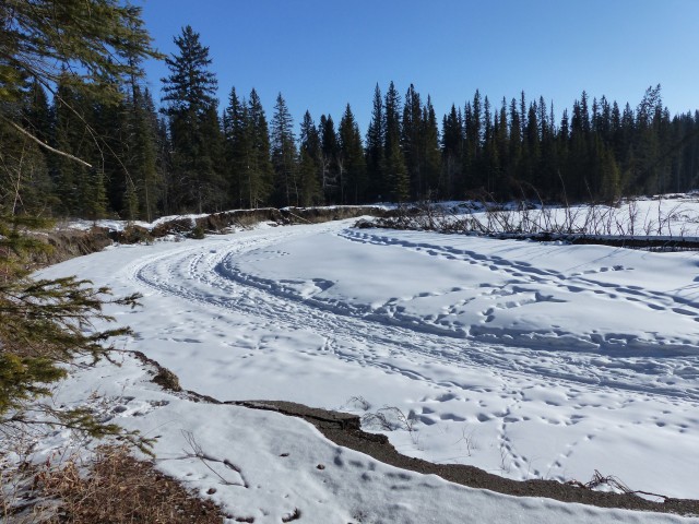
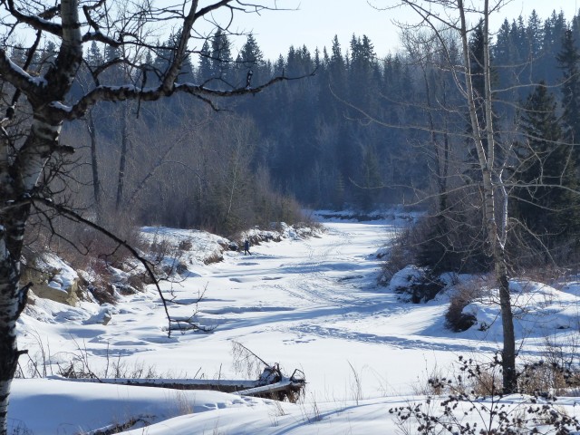
Heading west for a short distance, we come to a junction, one of many this day. We head north and cross Fish Creek on an arched bridge and then turn west at the next junction a couple hundred metres in. For the next couple kilometres the trail flanks a large meadow on one side and mixed forest on the other. There are lots of junctions here but stay on the paved (or plowed) route. Side trails are not maintained although they are often packed down and quite passable.
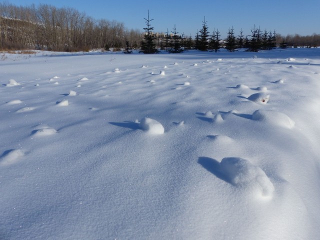
It was -21c, a cold day for a hike! As a result of the chill we saw few people on the trail. We of course, were well bundled up ourselves and had no problems. The frigid temperatures made the snow crunch loudly under out feet.
Passing a parking area (Voiter’s Flats) we gain a bit of elevation before dropping back down to creek level. Into the trees for a time, we catch occasional glimpses of houses on the valley rim above us. Outside of that view we’d think were were anywhere but inside a city.
Passing some rainwater retention ponds, we spot a Common Goldeneye (a duck, a female) bobbing in the chilly open waters. Most of the pond was frozen over, save for one small area.
Moving on, we almost immediately cross frozen Fish Creek and plunge into the woods. Along here there are lots of side trails.
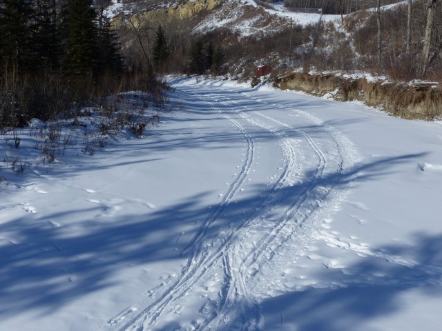
Coming to a series of major junctions, we’ll stay left at each of them. Heading up slowly at first, we make our way to the valley’s south rim. We pass more rain retention ponds, then climb steeply before arriving at the Marshall Springs parking lot. From the next kilometre or two, the narrow sections of the trail are not always plowed. That’s not a problem since those that aren’t have been packed down nicely by others out walking the paths.
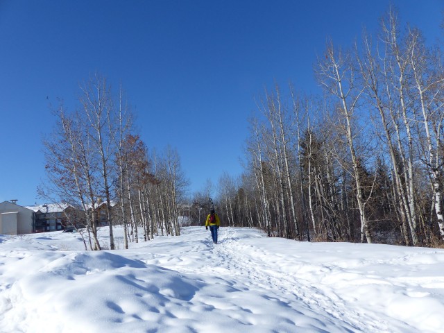
Along here we pass behind a large condo building and then houses. The trees here mean the views to the valley below are limited.
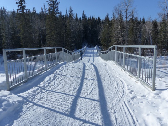
Coming to 37th St SW, we start heading down, gently at first, but later the path gets much steeper and is signed accordingly. I was worried this section would be slippery but it was not. If the weather warms it may turn into a luge track however.
Before crossing Fish Creek yet again, we take a side path that gives us a view of the road high above. At one time, exactly where we are standing, a much steeper road lead to an old single lane bridge here. Just beyond the road, to the east, is the Tsuu T’ina First Nation’s Reserve. This is as far west as Fish Creek Park goes.
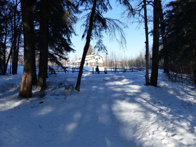
Turning east now, we head past another parking area called Shannon Terrace. This was once the site of Norman Willan’s “Beebow” Ranch, which operated here in the 1910s and 20s (and perhaps longer). There is an old barn along this section, almost a hundred years old, and this is where we stop for lunch. Yeah, Connie made some mulled wine! Sitting close to the trail we get some funny looks from passers by (not many this day) – what in the world, a picnic at these temperatures? They must think us crazy! We were well bundled up though.
In no time we’re back on the trail and come to a damaged section. The pathway and a fair sized chunk of land was washed away during the spring 2013 floods. Surprisingly, this is the only serious flood borne damage we saw in the park, which tells us Fish Creek did not peak nearly as bad as other water courses in the region . A side trail has developed, bypassing the mess.
Coming to the Bebo Grove parking area (they are many access points) we cross the creek yet again and almost immediately join up with the trail we came in on – we head east and follow it back. Along here a park vehicle passed us by.
Before long we are back at our car. Give the short days of winter, the sun is already low on the horizon making for some long shadows and moon is already out.
There are lots of picnic tables, refuse containers and biffies in the park. Outside of deer and some water birds, no other wild animals were seen on our trip – well, some elusive wild joggers were spotted as were some really, really wild kids (if you ask their parents) sliding down some toboggan runs. Some of the trails we followed are shared with the Calgary Greenway path (aka Rotary/Mattamy Greenway) which circles the city.
Fish Creek is a Provincial Park even though it’s in town. It was founded in 1975. In the old days, there were numerous ranches in this valley.
At this time of year the hikes category does not see much activity. It’s not that we don’t get out, we do, but on many trips we simply walk the streets, which most times is not terribly exciting and not worth reporting on. We also listed this hike under urban adventures and I guess technically that’s correct – most of the time however, we could have easily imagined we were in the mountains. The park is that removed from the urban jungle that surrounds it.
To see some other Calgary adventures we’ve been on, follow these links…
Lynnview Ridge.
Edworthy Park west trail – Brickburn and beyond.
Winter hiking through a gritty urban landscape.
If you wish more information on this adventure, by all means contact us!
Date of adventure: February, 2014.
Location: Calgary, AB.
Distance: 16km combo out and back with loop.
Height gain maximum: 80m.
Height gain cumulative: 130m.
NOTE: all heights and distances are approximate.
The old water tower at St Mary’s College, seen from the road into the park.
Memorials for those who have passed.
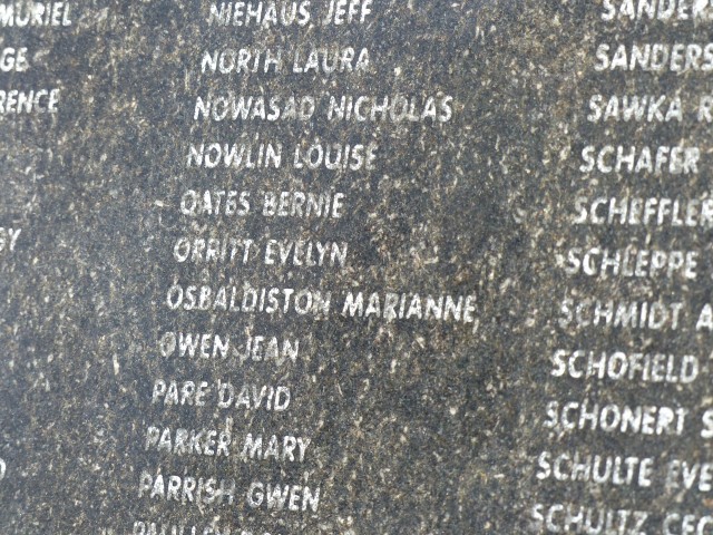
Connie’s sister (Marianne) is sadly one of the names listed.
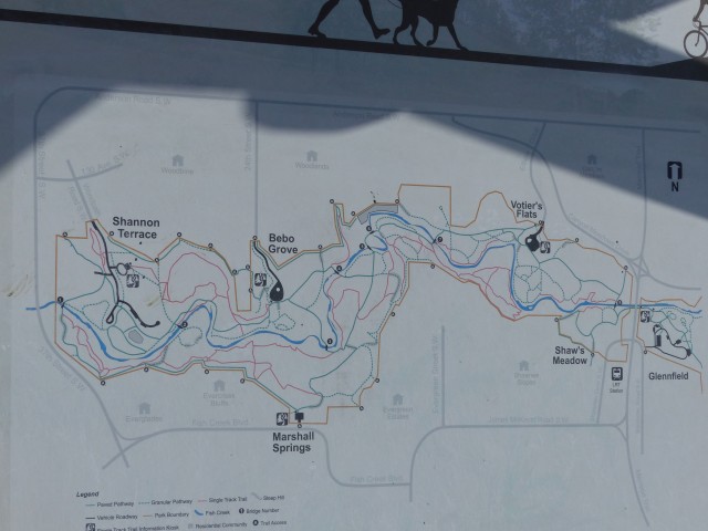
A map showing the extensive Fish Creek Park trail network.
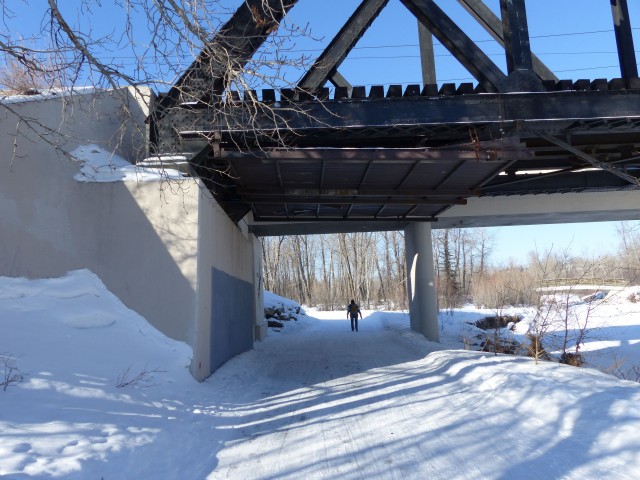
Passing under the CPR and LRT train bridges.
A concrete relief elk.
It was a balmy -21c this day.
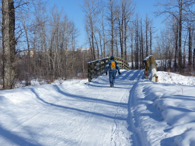
A bridge over Fish Creek.
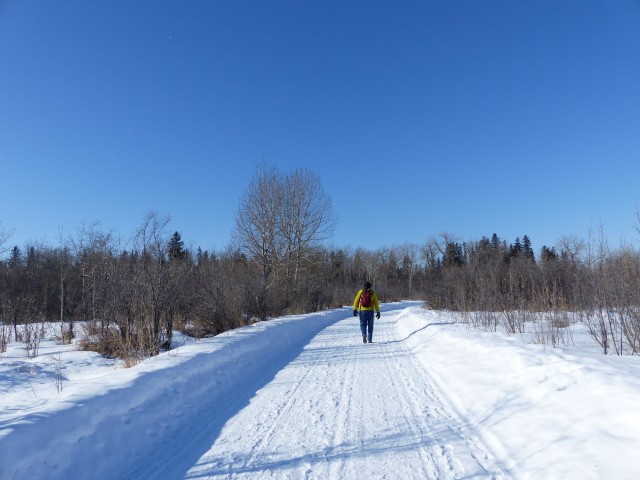
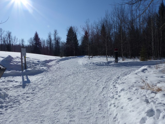
Most of our route is plowed in the winter.
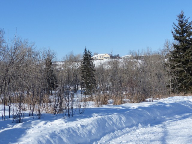
We occasionally see houses on the valley rim above.
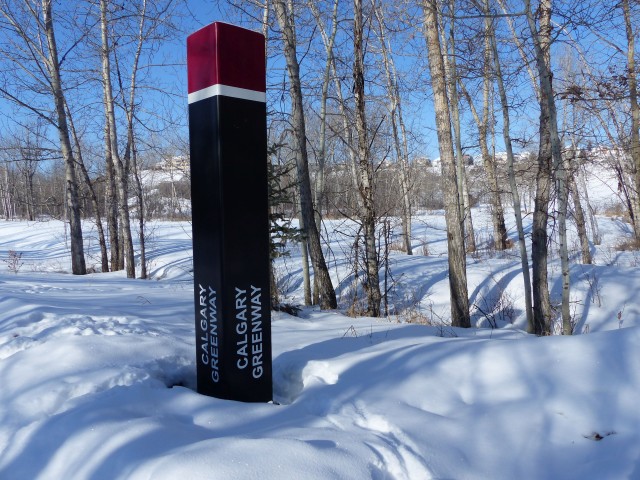
Part of our route follows the Calgary Greenway path which circles the city.
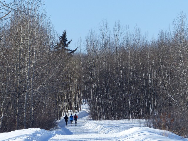
Some joggers pass – we’d see few people this chilly day.
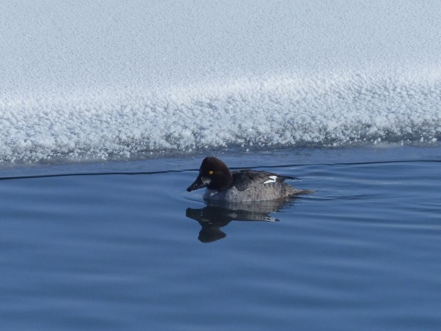
A Common Goldeneye.
The path alternates between open meadows and mixed forests.
Another crossing…
Frozen Fish Creek.
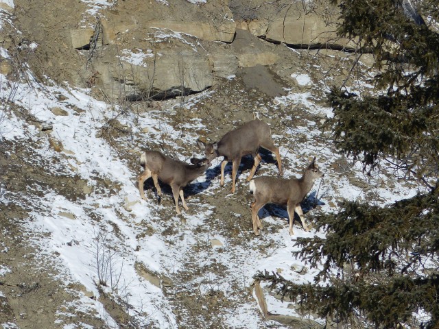
We spot a family of deer on a steep slope.
In spite of the snow, the path was not slippery.
Making our way up to the southern rim of the valley.
This un-plowed section of the trail was well packed.
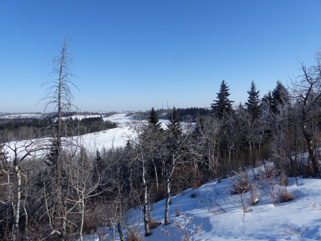
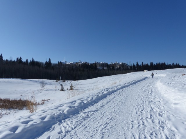
Looking east down the Fish Creek Valley.
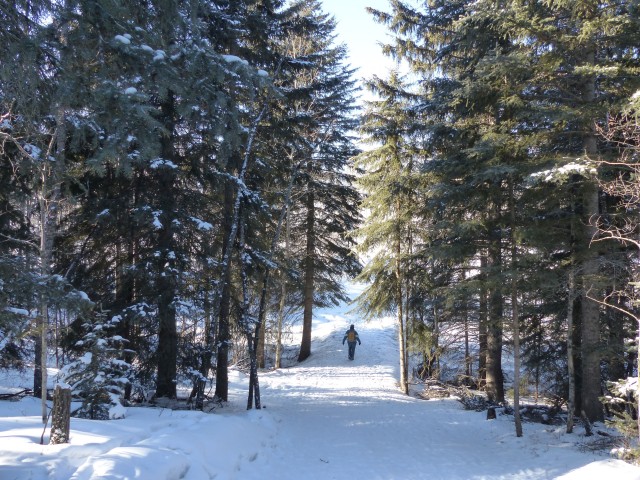
Passing through a nice wooded area as we head back down to the valley floor.
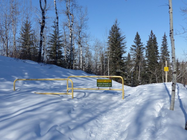
A steep hill warning – it was thankfully, not slippery.
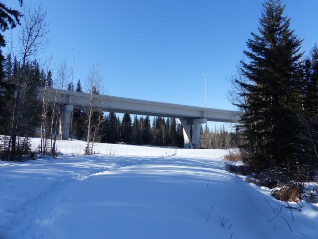
The 37th St bridge over Fish Creek.
Passing a parking area.
Having lunch at the Willans Beebow Ranch.
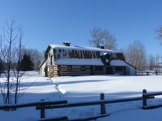
The old barn seen here is close to a hundred years old.
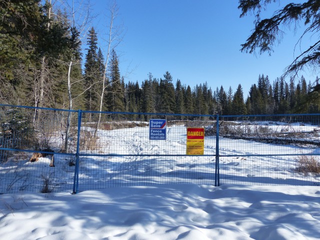
A washed out section of the trail.
Where there is creek today, last year there was land.
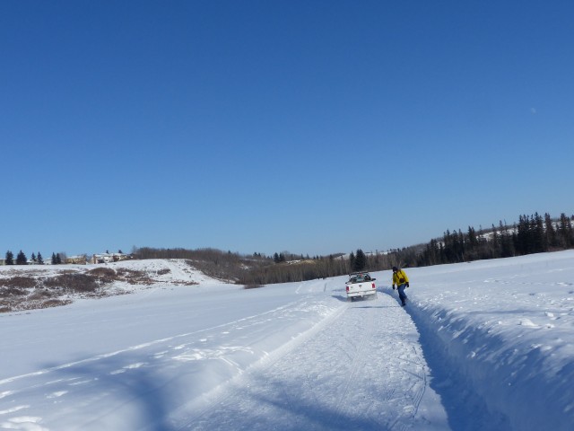
A park ranger passes – this is a Provincial Park even though it’s in the city.
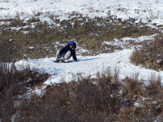
We watched some kids sliding down a toboggan hill.
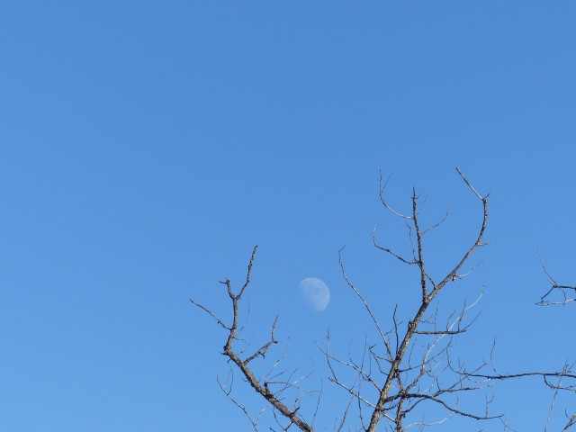
Moon over Fish Creek.
You’d be hard pressed to know you are deep inside the city here.
The low winter sun makes for some interesting shadows.
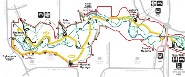
Our route, in yellow…


")


That was you having a picnic? Wow!
That was us!
Sorry to hear about Connie’s sister. I love Fish Creek, so many personalities and so many trails to explore. It’s a new adventure each time we visit.
It’s a nice place!