
Cox Hill
In the early stages of winter, conditions in the Sibbald area of Kananaskis are often dry and fairly snow free. With that in mind the trail up Cox Hill, a broad and gentle ridge located nearby, seems like an excellent choice for a hike. It’s an official trail, meaning it has signs at all junctions and is well maintained. And there is no dead fall. Yahoo!
The trailhead is located along the Powderface Trail (gravel road) at the Dawson day-use area. This road by the way hosts the Rocky Mountain Road Rally at various times – the route is a winding and hilly affair and is perfect for such use.
The Cox Hill trail is used by bikers and hikers, so keep this your ears open for the former. Riders could be coming down fast and given the limited visibility in the trees, you might not see or hear them, or they you, until they are almost on top of you. The trail is a real brake burner.
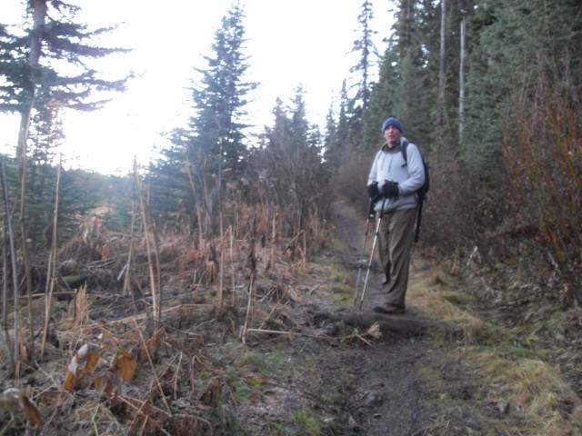
Given the short days at this time of year we arrive at the trail head in total dark and for the first couple kilometres we hike in the predawn glow. The light gives everything a wonderful deep blue cast with really looooong shadows.
The trail unfolds just like in the Kananaskis Trail guidebook, no surprises and nothing tricky, except maybe for some ice on the trail higher up.
Starting at the north end of the parking lot follow the route north for a very short distance, then head right after the first junction – left is the equestrian route to Eagle Hill. After crossing Jumpingpound Creek (bridged) stay on this trail till you come to a T intersection. Go right here – left takes you to to the north section of the long distance Tom Snow Trail. From here on there are no other junctions to worry about and the trail is always distinct and easy to follow.
There are sections that head steadily up, intermingled with nice flat parts where you can catch your breath. The trail gets a little rockier and rooted as you gain height but it’s never that bad.
After a couple hundred metres of elevation we hit the snow line. But at best the fresh powder is only a few centimetres deep and most of it gets blown away in the bare and open areas. We also spot fresh bear tracks here and we follow them for many kilometres. I guess the bear likes this trail as much as we do! Further on he left the trail and headed down and away from the direction we were travelling. Good.
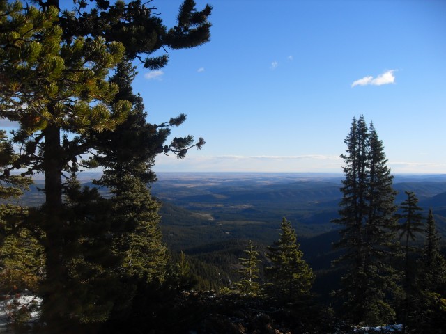
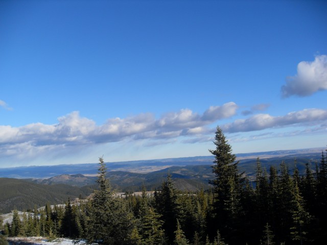
There are occasional breaks in the trees and we catch glimpses of Calgary in the east. I like this view of Calgary more than any other – from far away and not up close and personal.
Coming to a switchback on a windswept slope, this was the only slippery area.
Near the ridge top now the forest thins even more. We are not so high that trees won’t grow here – it’s the wind – it blows so hard at times that it’s near impossible for any plants to establish themselves. For the next bit we travel on the bare ridge passing though small islands of stunted wind-ravaged trees every now and then. These few mangled “krummholz” barely cling to life in the difficult conditions that are to be found here.
Soon we are at the top, the broad flat top. While the elevation gain was fairly significant this feature gives one the illusion that you are not that high.
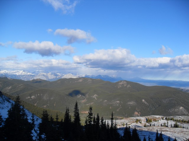
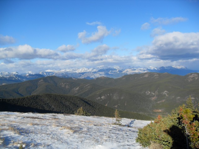
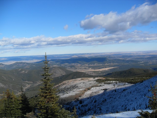
Looking around there are nice clear views of the connecting Jumpingpound Ridge extending for many kilometres to the south. Turning east there is Moose Mountain (Brokeback Mountain to movie buffs) with its visible fire lookout. Also in the east and the north and immediately in front of us in the west are the low rolling ridges of the Sibbald area, most of them nameless (or whose names are unknown to us). Finally there are the larger and precipitous limestone peaks to the west, all covered in deep snow. These are too far away to photography clearly, at least with the camera we had at that time.
As mentioned it’s always it’s windy up here and it was no exception this day, so we find some shelter amongst some rocks to have our lunch. There are number of gas wells in the area and one can be seen to the east, almost directly below us.
If you wish, you can continue south along Jumpingpound Ridge, or if the days are short like the day we went, you can turn around here. It’s an easy trip back to the parking area and we enjoy the expansive views on the way down until the trail plunges into the trees.
This was our first visit here and in researching the route it appears to be a very busy place in the summer – thank goodness we came during the quieter off season. On our visit we saw only one other group of hikers.
At various times, the Cox Hill route along with other connecting trails in the area has been host to the Bow 80 competition, a gruelling cross-country mountain bike race.
To see some other trails in the area, refer to these links…
Return to Eagle Hill.
Jumpingpound Mountain north trail.
Deer Ridge.
If you wish more information on this trail, by all means contact us!
Date of adventure: November 2010.
Location: Kananaskis, Sibbald area.
Distance: 14km return. You can go further along the connecting Jumpingpound Ridge if you wish.
Height gain from start: 750m (I’ve seen other reports listing from 725-880m).
Height gain cumulative: 775m.
Technical bits: None.
Notes: None.
Reference: Kananaskis Trail Guides by the Dafferns.
The Cox Hill trail was bare to begin with but soon snow would appear.
The view looking roughly north east.
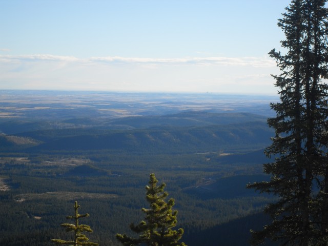
Low ridges and the prairie to the east and Calgary if you look hard.
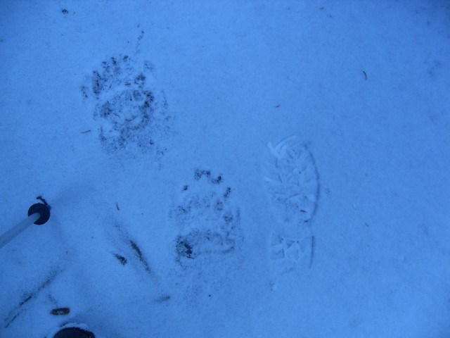
Fresh snow and fresh bear prints.
More nice views.
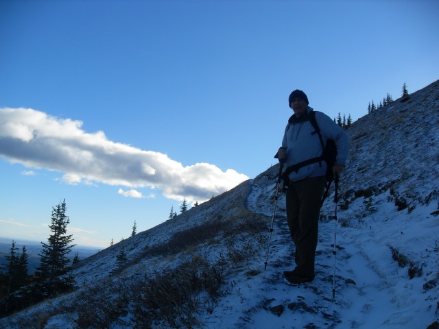
The trail switchbacks up a windswept slope.
Looking west.
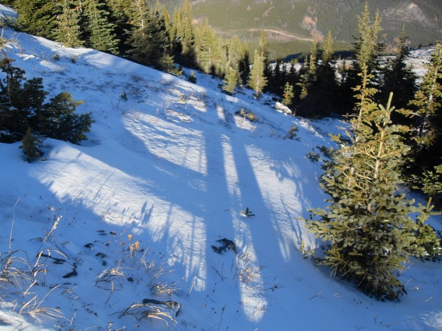
Loooooooong shadows in the winter.
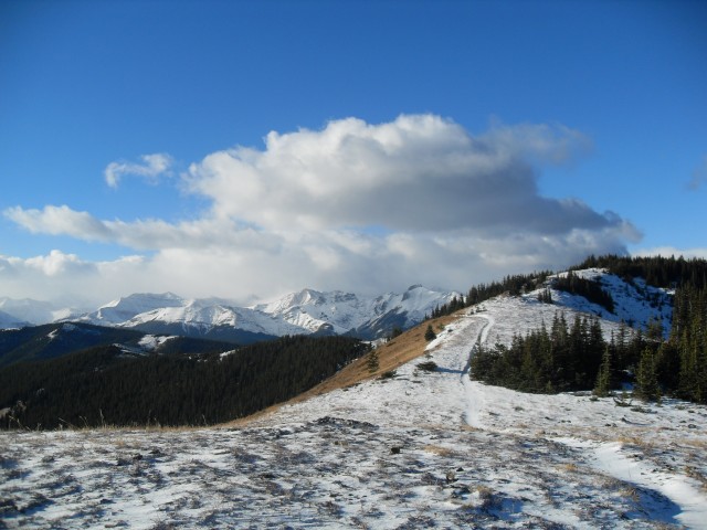
Near the top, Jumpingpound Ridge which is connected to Cox Hill, can be seen on the left.
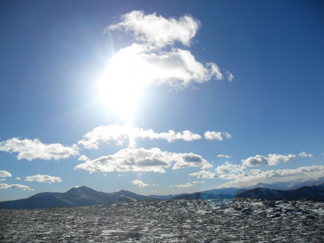
Glorious blue skies – what more could you ask for?
The top of Cox Hill is quite broad and flat.
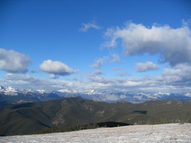
The views are amazing no matter what direction you face.
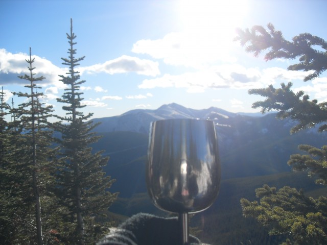
Ahhh wine. And in the back is Moose Mountain to the east (Brokeback Mountain to movie buffs).
Once last look on the way down.


Hiked up Cox Hill yesterday and parts of the trail low down are in pretty rough shape from this spring’s rain. The bridge over the creek at the start is damaged, but one can rock hope across the water now, it’s quite low. Nice views from up there.
We read your blog all the time. Thanks for sharing with us!
It’s our pleasure to share!