
Cat Creek Hills
This is one trip where we ask you NOT to follow our ascent route. Please, for the love of God, do not do it. Simply, it’s hell. Kilometre after kilometre of bush bashing, the trail so overgrown that at times it felt like we were in a jungle. Passage was slow and painful. Adding to trouble was a difficult to bypass washout in a steep brush clogged draw, part way up. These negative elements aside, the rest of the trip hiking the Cat Creek Hills was a pure delight. The going is mostly easy and always fun (if not sometimes steep) and the views stupendous. Just make sure you do not head up the way we did – use our descent route both ways instead. You’ll thank us.
The Cat Creek Hills are a series of connected rolling ridges located in the Highwood River Valley area of Kananaskis. These modest bumps are in contrast with large and barren limestone peaks that otherwise flank the valley. The hills have two prominent ribs and you can head up one and down the other if you like. Or you can do them individually leaving the second for another time. Adding historic interest to this trip, we also decided to explore the remains (what little we could find) of the Ford Mines that once operated in the immediate area. These coal prospects (sampling or test workings) date from around 1920 and did not result in a true mine being established.
The route up and down includes official trails, unofficial trails, some defined, others faint, bits of off trail and exploration roads turned trail. The start is at the Cat Creek day use are, or rather what’s left of it. Damaged by floods in the spring of 2013, the road in is blocked necessitating one park along the highway.
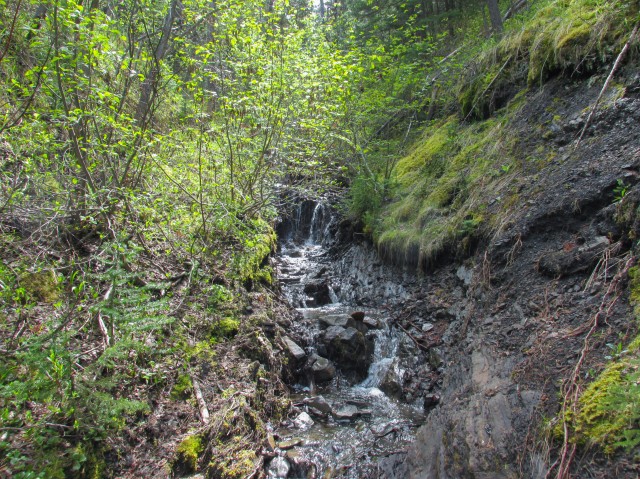
To start take the marked and signed Cat Creek Interpretive trail. It leads to a nice waterfall, which we did not visit due to high water levels in the canyon leading up to it. The trail here goes up and over a small hill. At some gravel flats by Cat Creek just before the canyon, is the former location of the Ford Mine base camp, marked by a sign.
Back tracking we follow the creek downstream until we come to some old bridge remains. The highway used to pass this way until it was rerouted some years ago. We wade across the creek to an overgrown road. We find a single track trail heading up a treed slope in front of us and follow it until we come to a mine exploration road, one of many that we’ll encounter this day. In fact the whole hill and the valleys around here are a maze of old exploration roads and cat tracks. It would be easy to get turned around.
We turn left and follow the road as it bends south. Then around a corner we leave it behind, taking another single track heading up to the left. This route is a shortcut that bypasses a large mine-road switchback. It climbs steadily, levels out in a deep wooded area, then meets up with the road again. Along here we can hear, but not see, Cat Creek boiling away in a deep gorge below.
Now back on the exploration road we come to a section that has slumped badly, exposing some coal. To the right is a collapsed mine entry, one of the test workings mentioned earlier. A century ago they were looking for some workable coal seams around here. They did not meet with success and I think the distance to market was probably a big obstacle.
In no time we come to a junction with a cairn. The road to the right is one we’ll take to gain the ridge. First however, we’ll continue east and after crossing a small creek at a camping meadow, we head south up a different road. We’re in search of what is supposedly a second test entry put in place by the Ford Mines. Hiking guru Gillean Daffern makes mention of it, but we never find it. The Alberta Department of Mines, by the way, shows no entry was driven into the hillside here.
Back at that junction we passed earlier, we take the road that heads up and south. Initially the going is easy and good, but soon the trail becomes alder choked. For the next couple kilometres travel at times is near impossible. A machete would come in handy here. This is the section we ask that you do not follow. Please, we don’t want you to hate us.
There is supposedly a third test adit along here although we found no signs of it. At one point the road shares a steep angled draw with a stream and over time the cutting action of the water has all but obliterated what would be our trail. Crawling up a steep hillside is the only option to bypass it.
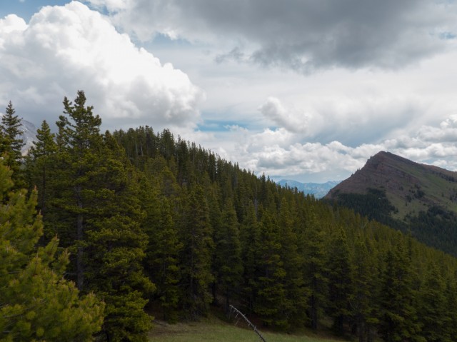
The exploration road is for the most part always in the trees but bushwhacking into them would have been no easier. They were dense. Finally, after that seems like an eternity, the trail, which has been climbing steadily, breaks out of the alders and onto the north ridge of the Cat Creek Hills. We’re free!
We intercept an obvious trail which makes a line for the summit, still some distance away. The trees thin and we finally get a view of our objective. Well almost our objective, the grassy slopes of the false summit are seen. The true summit, only slightly higher, is hidden from this view.
The trail soon drops down to a col then heads back up. Out of the trees now and on grassy and flowered covered slopes, we first check out the false summit, then dropping down a bit and heading back up again, the true summit. The last bit is in the trees on rocky ground.
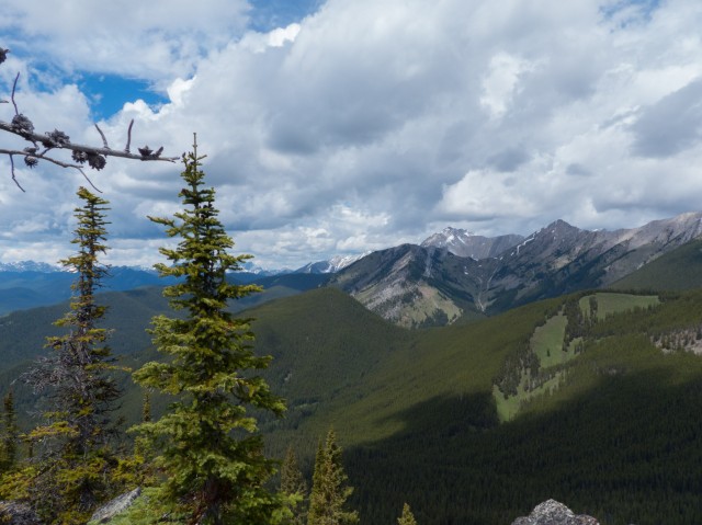
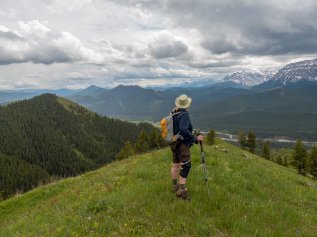
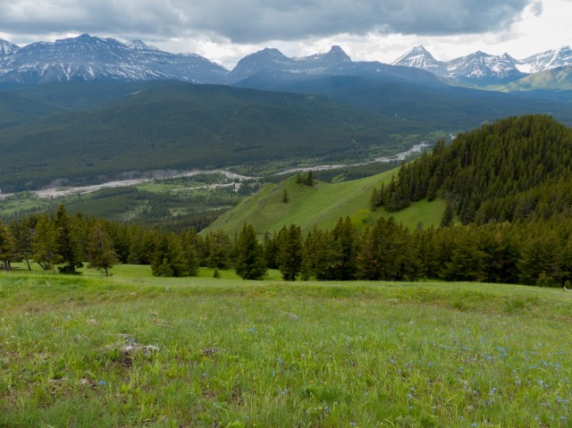
The views from the true summit are to the east, north and south only. Trees block the other view. We take time to admire Junction Hill, Holy Cross Mountain, Mount Head and Cat Creek Ridge. Scrambling legend Bob Spirko calls the grassed hill in front Stony (or is that Stoney) Ridge. From the false summit peaks directly west include Mounts McPhail, Muir and Strachan. Together, and with some others, they form an almost impregnable wall. Places we’ve been that can be seen from here, all well off in the north, include Picklejar Ridge and Mist Ridge.
From our point, we can see the the south ridge of Cat Creek Hills. We’d like to save that for another trip. In the valley, the flood ravaged course of the Highwood River is quite sobering. We can see our car clearly, far below. Occasionally, we hear the roar of motorcycles on the highway.
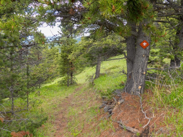
Heading back down, with a stop along the way for lunch, we follow the same ridge trail back, past the junction where we came up and further west to a grassy view point. A mine road, marked by a red fleur de lys, put here by boy scouts who in 1983 held a world jamboree nearby. It switchbacks many times, loosing elevation fast, first in the woods and later on grassy slopes before ending at a stream in a steep draw. We traverse the (also steep) hillside above it to avoid the mud and dense vegetation.
Looking back we see more coal exploration roads gouged into the hillside. Simply, they cut would across a slope in hopes that a workable seam would be exposed. Some of these cat tracks, I believe, post date the Ford Mines era. In the 1940s and 50s a mining group sent an army of equipment into the nearby hills, cutting and chewing them up in search of the black stuff. In spite of all the exploration done over the years, no coal mine ever opened up in the area. We sure do like these roads, which sometimes take very precipitous paths, for use as hiking trails.
Soon a road comes in from the north. We take it, then drop down to the second lower parallel road. Heading north, we’re soon back into the trees. After a couple junctions, we are back at the second shortcut trail we came up earlier. Actually I over shot it a bit and for a minute was a bit concerned we were lost, until I realized my mistake and then back tracked.
Retracing our steps, we’re soon at the creek crossing (COLD WATER!) and not much after that, back at the car.
We saw no one else this adventure which somewhat surprised me since it’s a great destination. It not terribly hard work but in places the trail is sketchy or nonexistent and with the many mine road junctions, I guess it would be easy to get lost. Perhaps these challenges prevent it from being more popular. While we hated the alder bits, the rest was pure unadulterated fun. You might say the Cat Creek Hills were intoxicating.
To see our attempt on Junction Hill, go here…
Junction Hill recon.
To see other ridges we’ve hiked, follow these links…
Bull Creek Hills.
Wind Ridge.
Pasque Mountain (2).
If you wish more information on this trail, by all means contact us!
Date of adventure: June, 2014.
Location: Kananaskis AB, near
Distance: 13km out and back with loop and side trips.
Height gain maximum: 560m (it seemed like more).
Height gain cumulative: 660m.
NOTE: all heights and distances are approximate.
Reference: Kananaskis Trail Guides by the Dafferns.
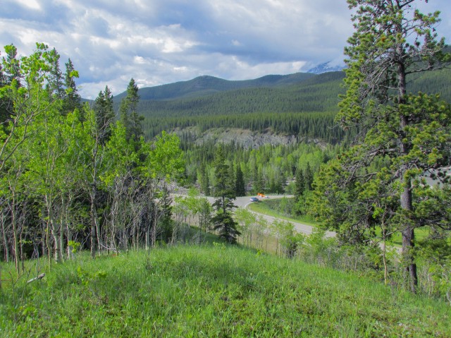
We start off hiking the Cat Creek Interpretive trail.
Heading down to Cat Creek.
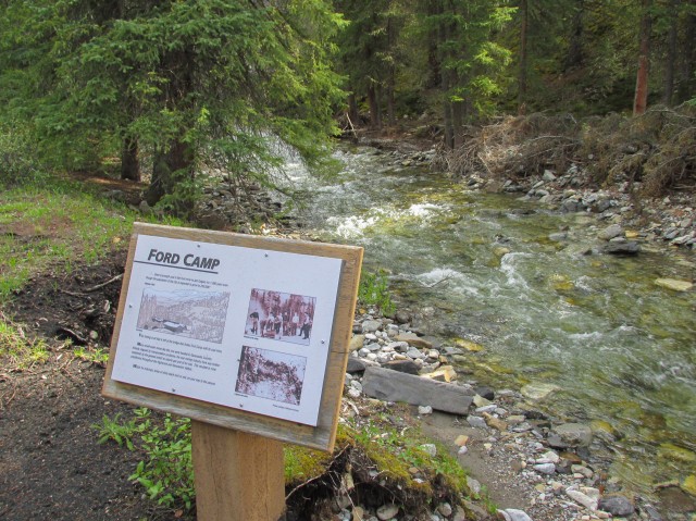
The location of the Ford Mines camp.
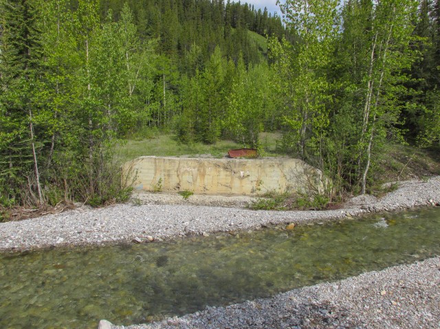
The remains of an old bridge.
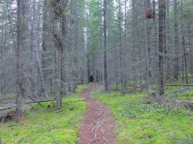
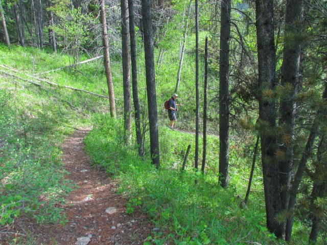
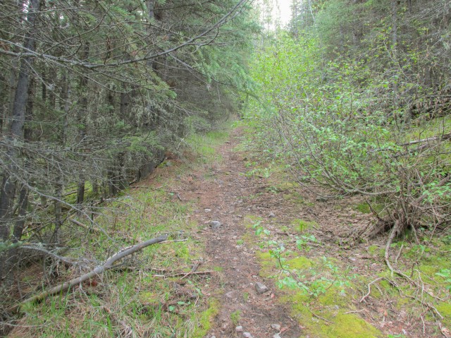
Sometimes we’re on a single track trail…
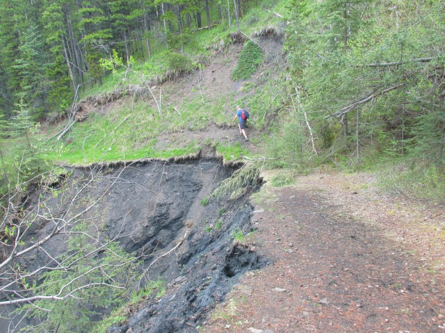
At other times we’ll hike old mine roads. We pass a big slump here.
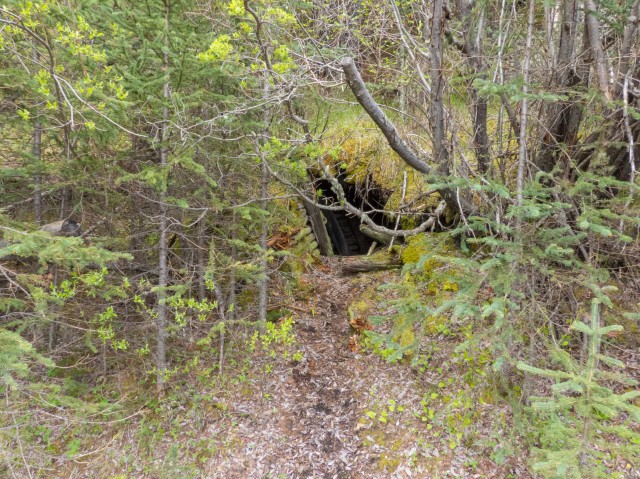
One of the prospect workings belonging to the Ford Mines.
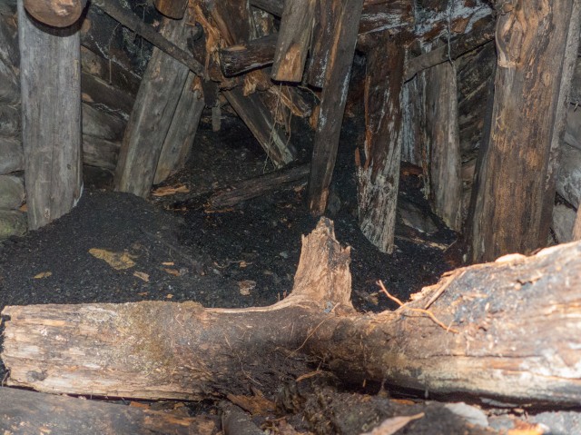
Peering inside we can see it’s badly collapsed.
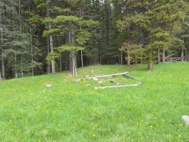
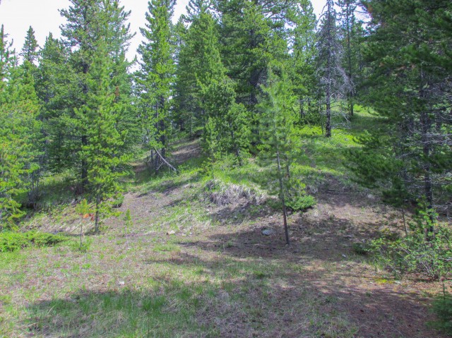
A camping site.
We head up another mine exploration road.
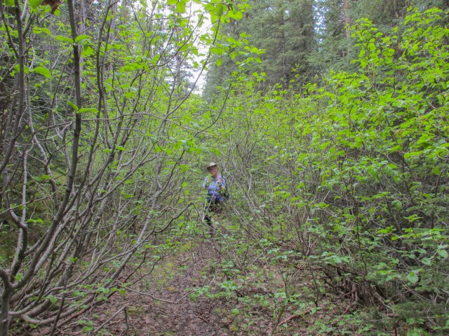
The trail soon becomes choked with alders.
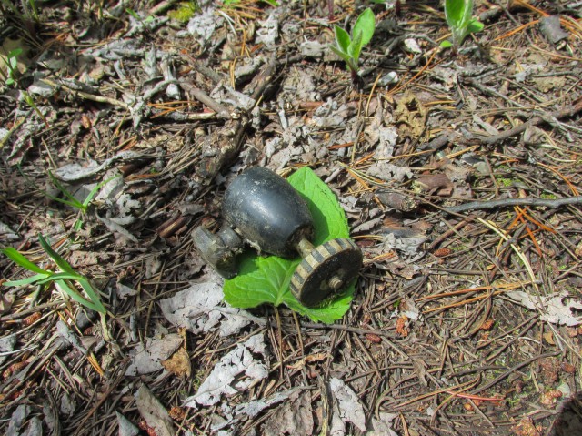
Connie finds a tripod ball head.
Believe it or not, this was the trail.
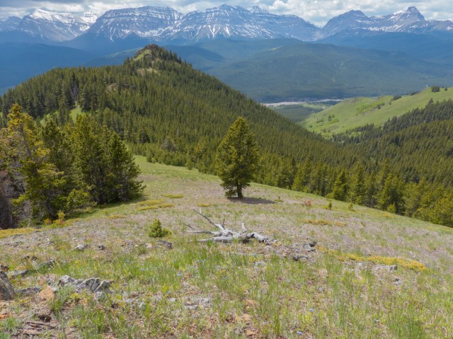
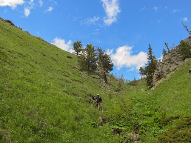
We leave the alders behind (thank goodness) once we gain the ridge.
The grassy slope in centre is the false summit.
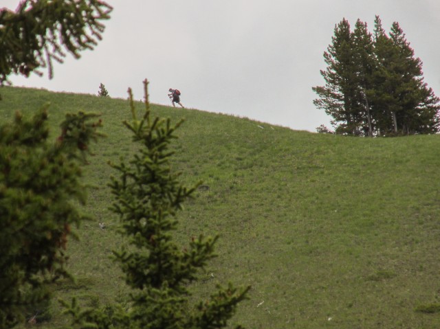
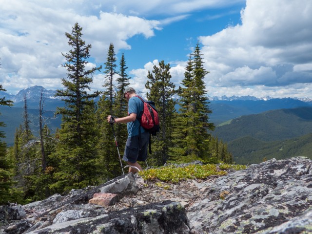
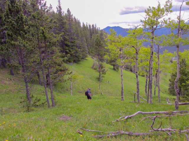
Making my way up.
The true summit is in the treed bump left of centre.
The view to the north.
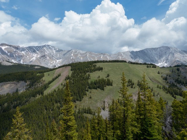
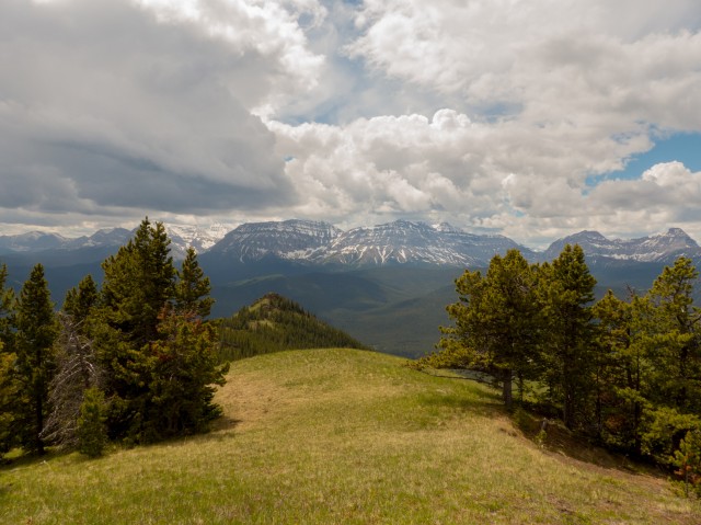
The ridge in back connects Mount Head (left) with Holy Cross Mountain (right).
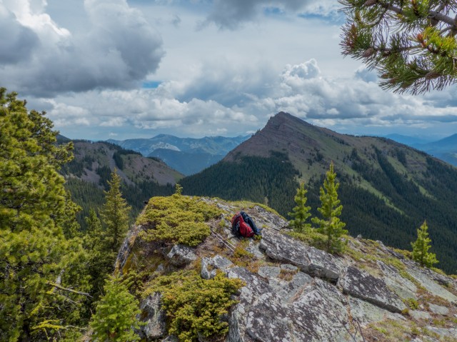
The summit. Junction Hill can be seen in back.
Heading down.
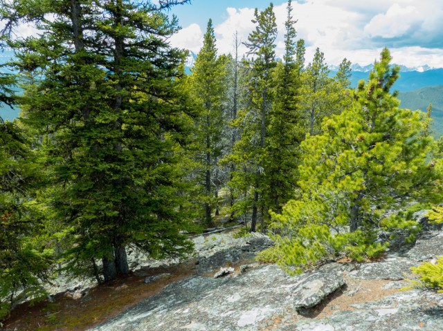
This section of the hill is rocky in nature.
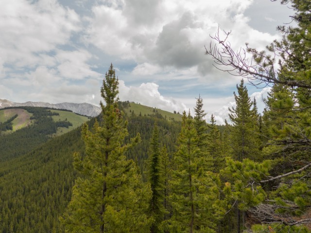
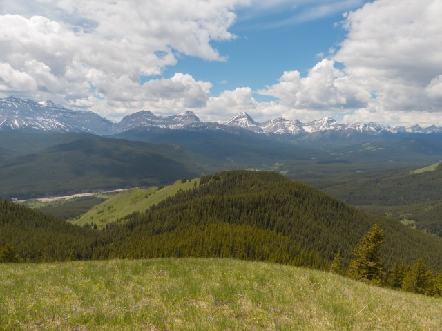
The view west.
The north ridge of Cat Creek Hills.
The south ridge.
A grassy viewpoint.
The Highwood River can be seen far below.
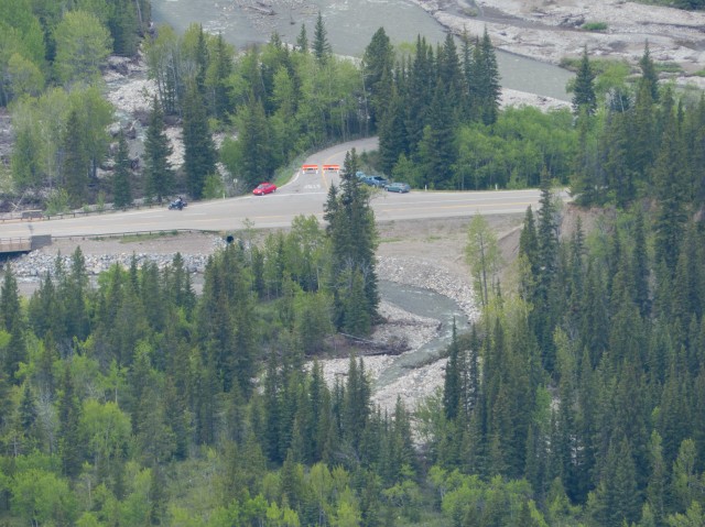
The trailhead parking spot.
We\ll follow this mine exploration road down.
The road zig-zags down the slope.
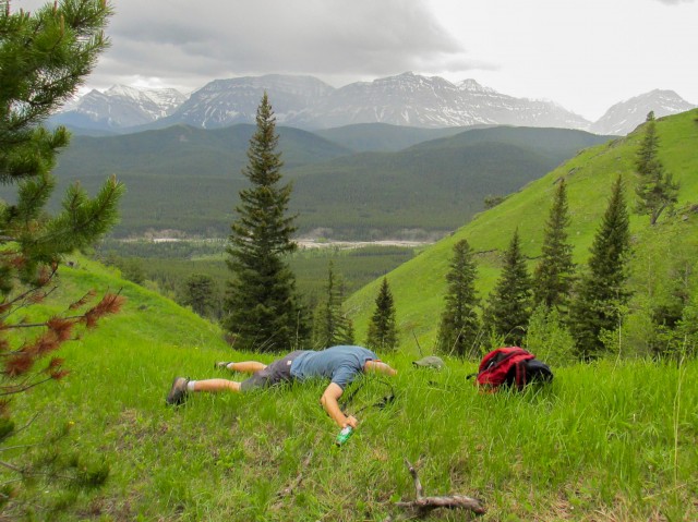
A little too much wine…the Cat Creek Hills are intoxicating!
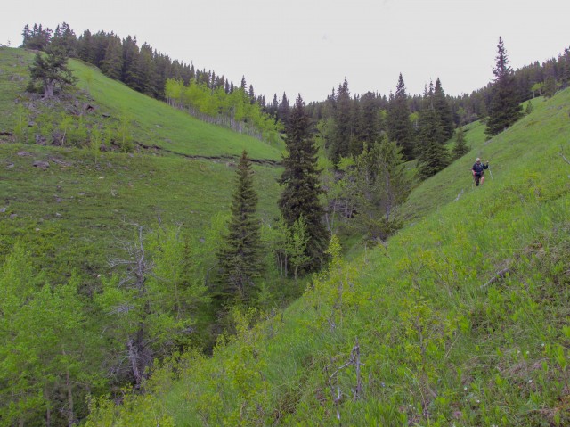
We traverse a steep slope – note the mine road in back.
Down a grassy draw.
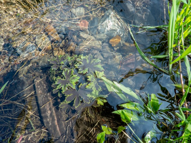
Plants is pool of water.
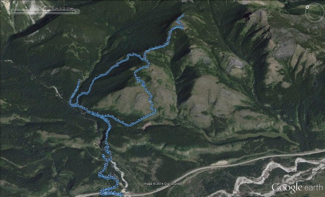
Our route – the loop portion was done in a clockwise fashion.


")


(via Facebook)
Remarkable account and spectacular images! I hiked to the Falls a few years ago…the black soil was phenomenal!
Thanks. There’s mucho coal in the area for sure. Lots of black soil!
Beautiful hike. I’m hoping to do this year and bases on your recommendations will tackle the slopes head on rather then taking that awful alder trail.
I now hate alders with a passion!
Good God I need to get to Canada. Places such as this make me want to come visit.
Hillary (UK)
And when you visit, join us on a hike!
I love the hills, though your very lucky there was no wind. Every time I’ve been up its been quite windy.
Maybe the wind could blow away the alders!
Absolutely breathtaking! I’m glad you shared this.
Our pleasure!
This makes me homesick. Man I miss hiking in Kananaskis.
Hopefully our posts will help you feel better.
Where the air is sweet. Oh, how I would love to spend some time here. Awesome (in the true sense of the word.)
That’s no nice coming from you!