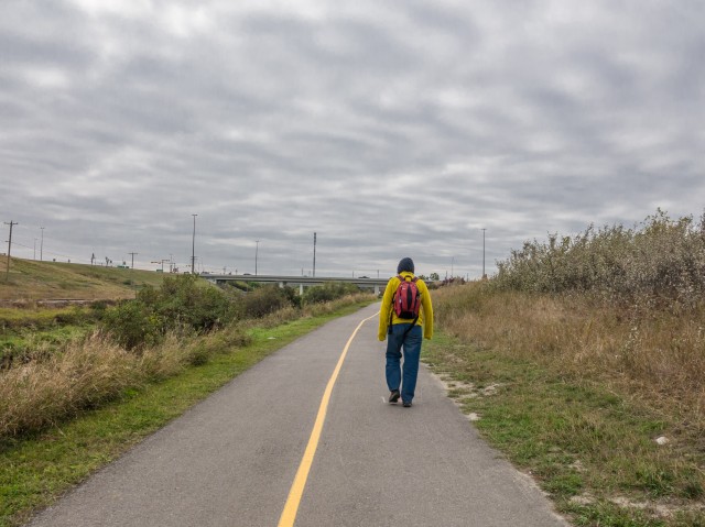
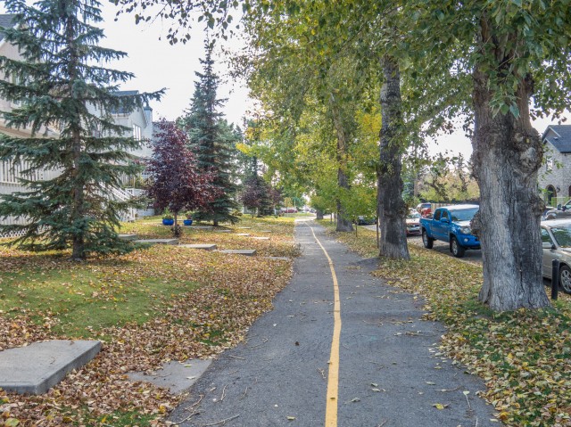
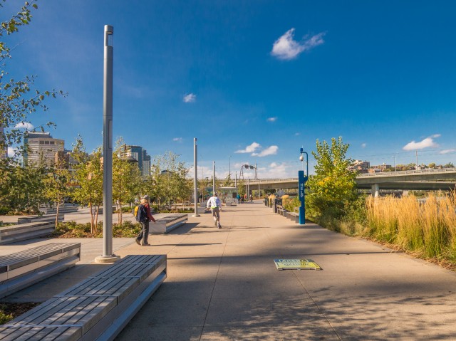
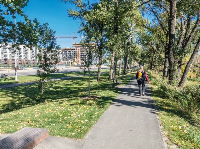
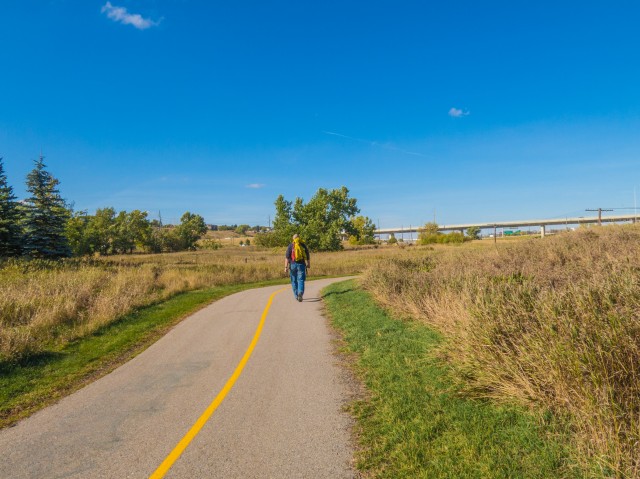
Today we hike in town. On a crisp fall morning we head out to walk a loop route with an out and back section, using the Bow River and Nose Creek pathways just east of downtown Calgary. We’ll pass through quiet wooded areas, charming residential neighbourhoods, trendy commercial strips, noisy sections by busy highways and a stretch that runs beside some train tracks (wooooo, trains!).
The entire route is along a paved pathway and parallels the river for the most part, but we make a diversion onto city streets at one point, to check out an interesting old building and and equally old bridge, for some research projects I’m working on.
Most of the time you’ll find us using Calgary’s extensive pathway system in the winter. This day I felt a bit lazy. Lazy not for the hike, but the drive. The mountains are over an hour away by car and I did not feel like it.
↓ ↓ ↓ ↓ Scroll down for photos and to comment ↓ ↓ ↓ ↓
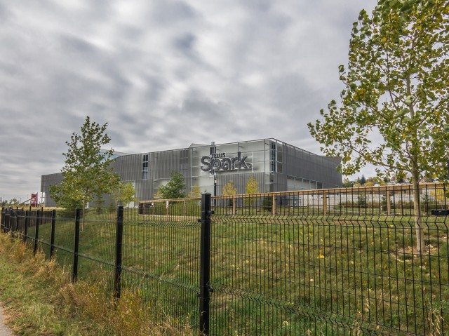
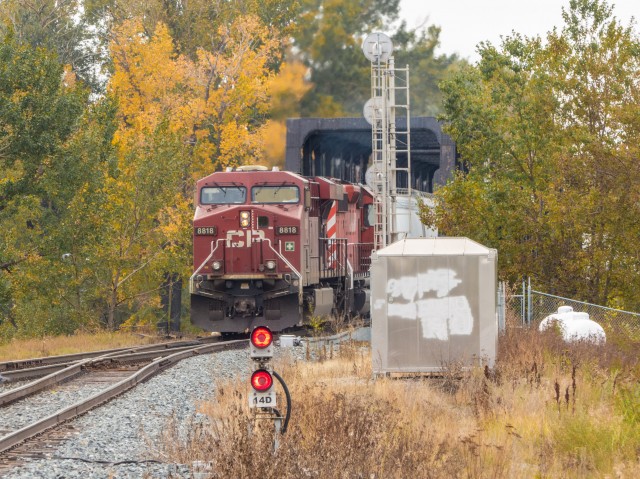
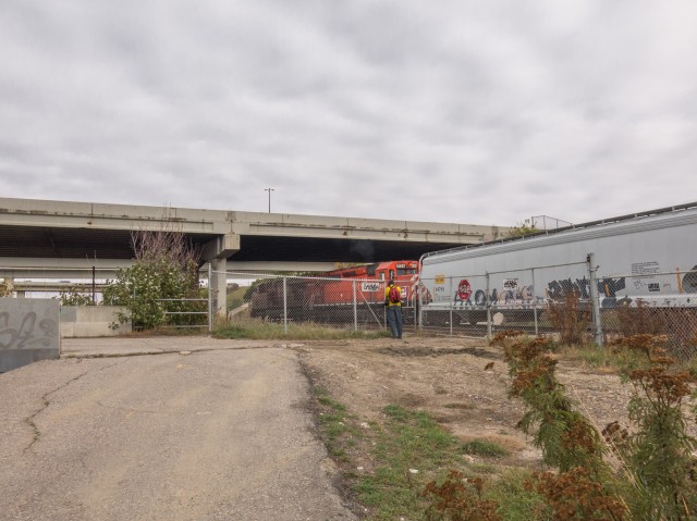
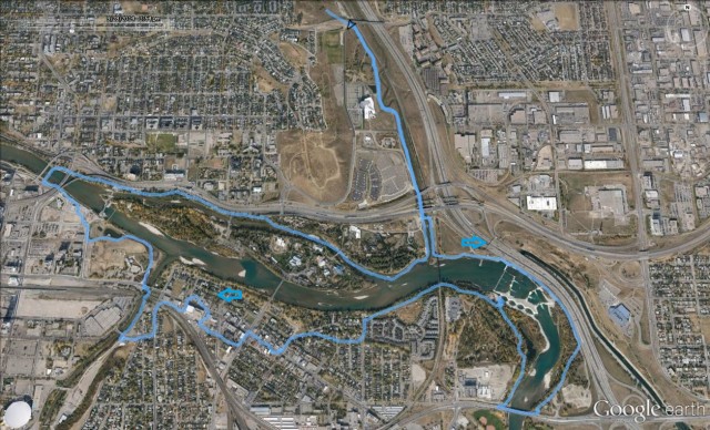
We started our adventure just north of the Zoo parking lot and Telus Spark Science Centre. There is a small pull off area here just below a road bridge embankment. We head east and intercept the paved pathway which runs beside Nose Creek. Turning south and a after a click or two, right after passing under the LRT line and Memorial Drive, we turn left and cross the creek, before turning right again beside the railway tracks. Lucky us, a train is spotted and I watch the whole thing pass – thank goodness Connie is patient when I get caught up in the “train zone”.
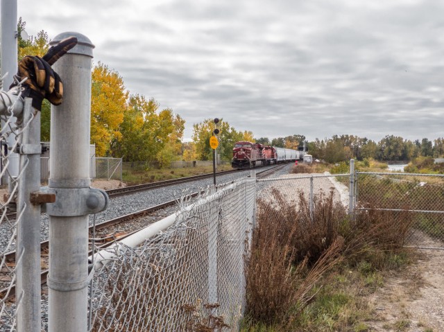
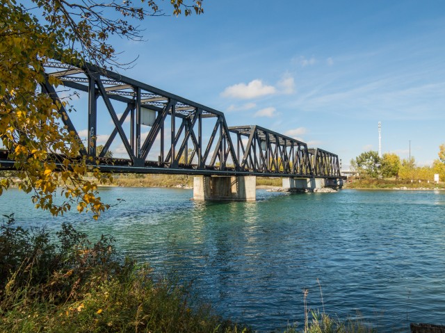
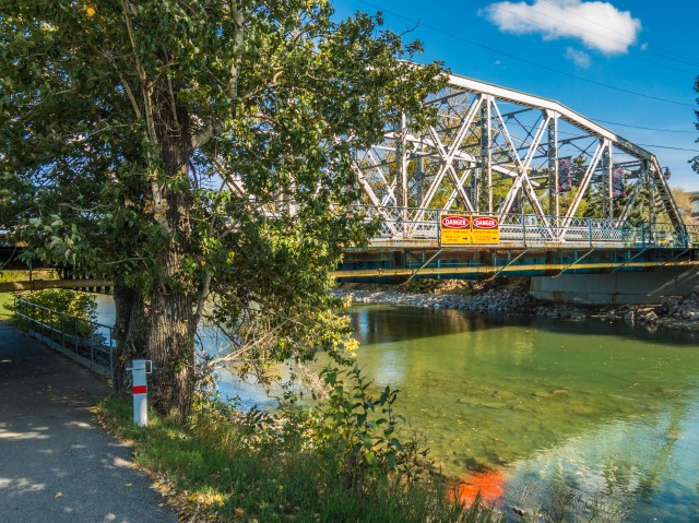
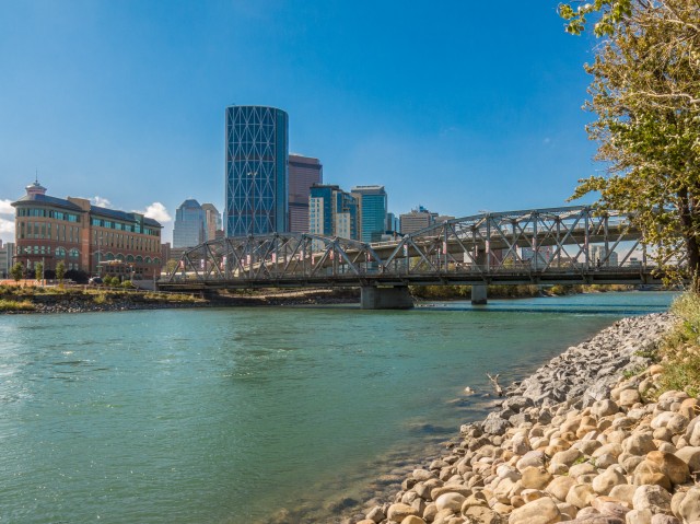
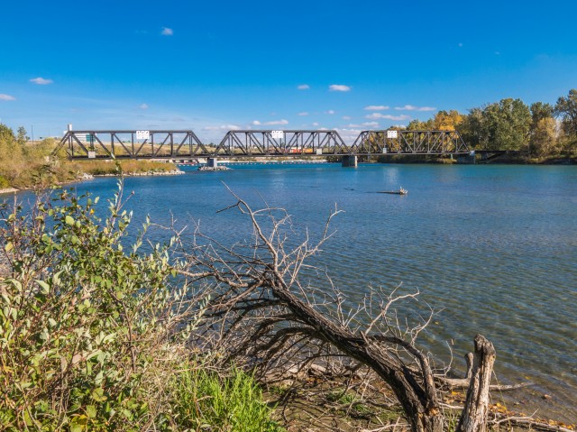
The rail line here is the CPR’s Calgary to Edmonton main. That company’s Bow River bridge, seen in a few pictures in this report, was the subject of an article earlier on this website.
The locomotives seen pulling the train are an interesting pair. The lead engine is a mid-2000s built GE model ES44AC (#8818), while the second (#5957) is an ancient General Motors SD40-2 model from the early 1980s
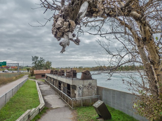
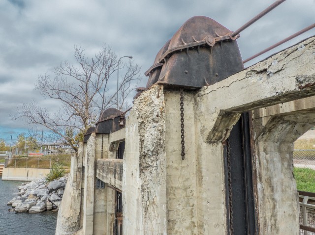
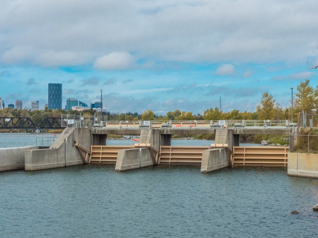
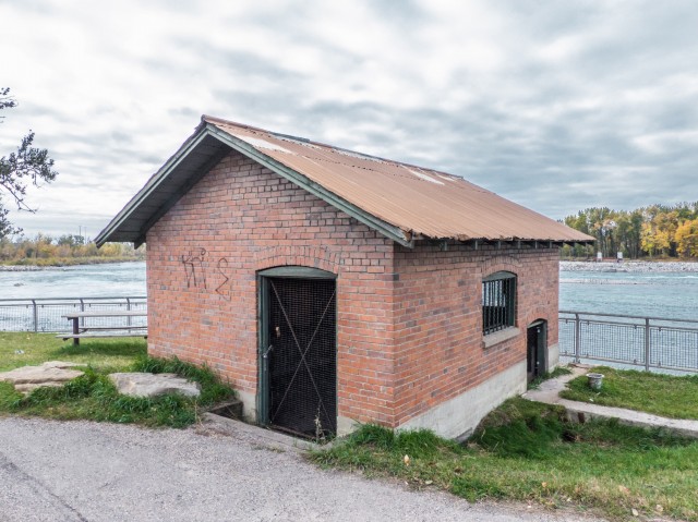
The pathway heads under the railway bridge beside the river. Soon we’re at the Western Irrigation Distrait canal. That waterway, which was constructed over a hundred years ago, provides irrigation to farmers in the dry-belt region to the east of Calgary. There is a modern intake system (a gate that diverts water form the river into the canal), along with the remains of an older one. These relics from the past will likely become fodder for a future report.
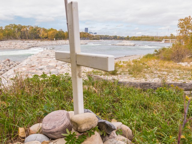
Our route for the next couple clicks is squeezed between busy (and incredibly noisy) Deerfoot Trail and the river. Along here we find a cross by the water. Did someone drown here?
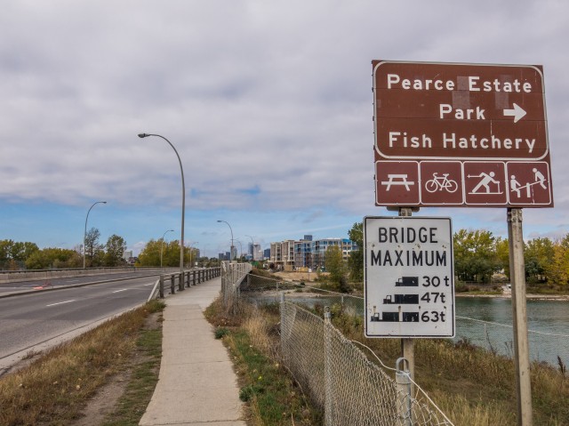
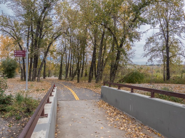
The trail plunges into a wooded area, the site of a motel and trailer park at one time (I recall staying here as a kid), before coming to a vehicle bridge (Cushing Bridge). We cross over it and join up with the path on the west side. This pleasant section is in the Pearce Estate Park, a nice wooded area home to a fish hatchery.
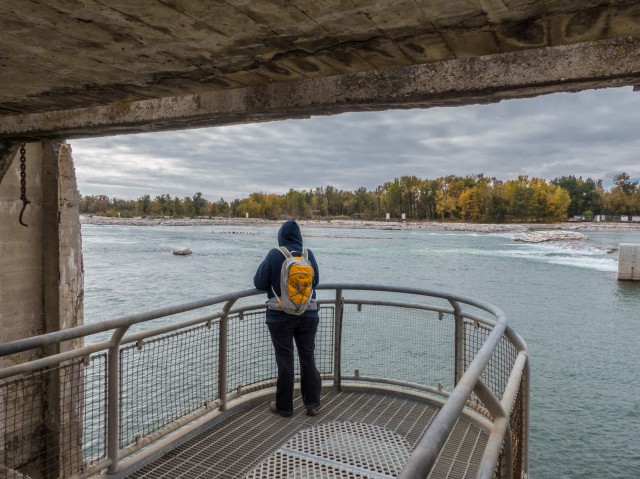
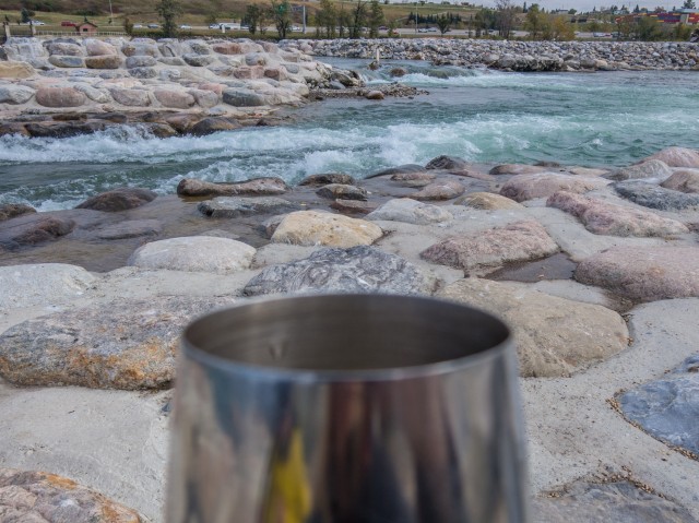
In no time we’re at the Harvie Passage (until recently, the site of the deadly Calgary weir), a playground for those who kayak and canoe. We’ll it was until the spring 2013 floods wrecked it. It’s being rebuilt – interestingly it was only put in a few years prior – bad timing, it was not around long before it was nearly wiped off the map.
Directly across the river is the canal intake we visited earlier. We make this spot our lunch stop. Time for some wine!
Back on our feet, we head east and near the river, we pass under our old friend, that CPR bridge. Being the bridge hunter, I of course take time to photograph it.
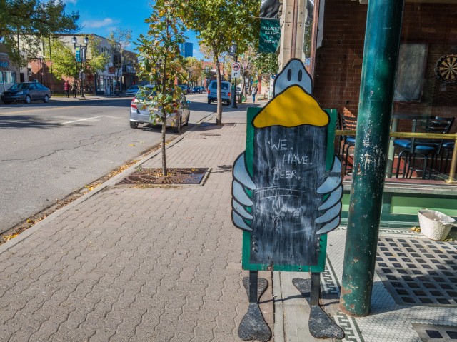
Soon we’re in a quiet residential area. At a small park we leave the pathway behind for a time and head into the heart of Inglewood, a once downtrodden neighbourhood that is now trendy (and expensive) and crawling with yuppies. Our goal is to document the old National Hotel and a nearby bridge. You can of course continue on the pathway, which we’ll meet up with later, if you wish. You need not follow our route to the letter.
Picking our way down various side streets we pass a good number of pubs, the community has many of them. They have beer! The temptation!
Now at the National Hotel or the Nash as it was often called. It’s an interesting building, and once upon a time in the 1970s, a hang out for my folks. I’ve documented it before (link below) but came to research an update.
We head to the MacDonald Avenue Bridge which spans the Elbow River, our next stop. This old structure is over a hundred years old, and is I understand threatened. I expect to do a report on it sometime soon.
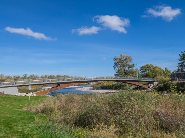
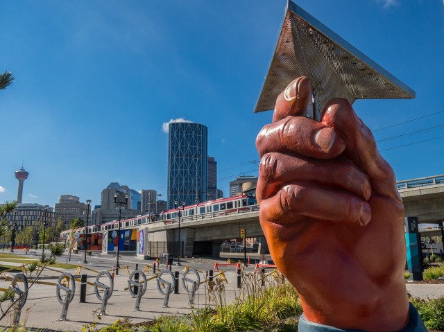
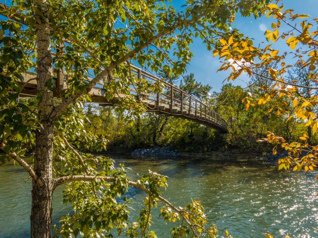
We meet up with the Elbow River pathway and turn north. In a short time, we pass under a second old bridge – the Inglewood Bridge, similar in appearance to bridge we just photographed, also as old, and also threatened (and likely the subject of a future report). The Bow River pathway comes in from the right, via, you guessed it a bridge. This is a new one, opened only recently and is located where the Elbow empties into the Bow. We’re now at Fort Calgary and near the East Village.
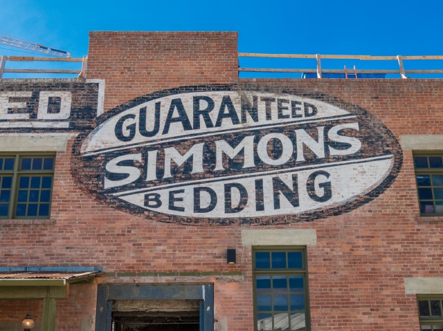
Continuing on, we pass one of the only buildings left standing from the time when the immediate are was a warehouse district. It’s the old Simmons Bedding building, now fixed up and used for social events. Sprouting up all around it are tall condos. Oh the humanity.
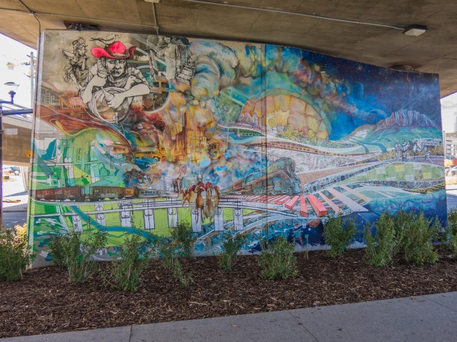
We pass a number of works of art, paintings and sculptures, as we walk further west. Nice. This part of town can be a bit rough at times but mostly at night.
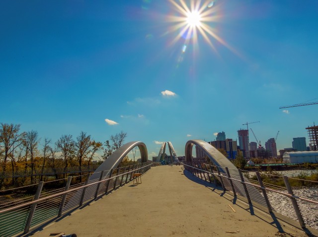
We turn right at the Langevin Bridge., a nice old structure, and on the far side head east again on the pathway (there are pathways everywhere in town). Between the river and Memorial Drive we pass a newly constructed, but not yet open, pedestrian bridge. When done it could be used to to cut off a couple clicks from our loop. But why would you want to do that?
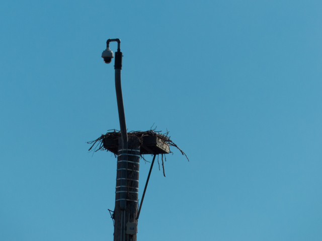
We pass right through the Calgary Zoo, but can not enter it from here. A fence keeps us out. The old suspension bridge seen in one photo, now no longer used, was at one time the only way to get into the facility. I recall going across it as a child. We notice a large bird’s nest on a pole that is watched over by a camera. A raptor family often calls it home, as we found out, and their actions are recorded for us to see online. Their show is called “Keeping up with the Ospreys.”
Coming to Nose Creek, and the CPR bridge yet again, we head north and in no time are back at the car.
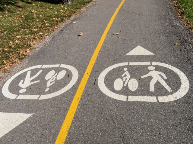
This type of hike will ever compare to those we take in the mountains, but it still has its charms. Any hike is a good one, and given we saw trains and old bridges, I came away happy. Much of the route we travelled was quiet, in respects to foot or bike traffic (both use the pathways). Only near the East Village did we see lots of people out and about.
If you wish more information on this trail, by all means contact us!
Date of adventure: September, 2014. Location: Calgary, AB. Distance: 13.5km loop with out and back. Height gain cumulative: negligible. NOTE: all heights and distances are approximate. Reference: Kananaskis Trail Guides by the Dafferns.
Hi Chris – great post like usual! I love the vintage signs on the older buildings in Inglewood, as well as the trains & bridges I noticed that the Canadian Pickers must of vacated their building in the former National Hotel barn, as your photograph shows an for sale sign, correct? They must of left – shame it was an nice looking barn and it deserves an good tenant…
As soon as the show ended, they moved out. I think the store was more of a set for the series rather than a real business. I never saw it open, ever! Funny though, in the show it was always packed with people! Their old fire truck was still there a couple weeks ago but is now gone.
We used to do something called the "pointless challenge" 🤪 and miss those days. It was so much silly fun and often frustrating as heck. In these we'd invite people to send in random photos of obscure locations, but not give any information, and then we'd track where it was and shoot something similar.
Most of these came from old family collections, as was the case here. Anyone up to resurrecting the series?
In hindsight, why didn't we pose someone in our shot?
Pointless: “Devoid of meaning (or) senseless” Merriam-Webster.
If you like what we do and want to support this ongoing project (12 years now), go here: https://www.BIGDoer.com/help-the-society/ Thanks to Connie for making this post possible.
Exploring history with Off the Beaten Path with Chris & Connie. Photo: ca1970 and 2014. Posted by Connie.
Captured on a cold, cold day many years ago. We've been passing this old house for decades and it's little changed in that time. At some point we expect to drive by and it'll be gone.
Exploring history with Off the Beaten Path with Chris & Connie. Photo: 2017. Posted by Connie.
When retired old railway cars usually get cut up for scrap. Sometimes, however, they find their way into the hands of the general public or whomever. Flat cars make good bridges, and boxcars can be transformed into storage buildings and the like. Case in point here. We see them used like this often enough and in this case, it's part of a corral.
Incidentally, this boxcar dates from 1950 and this was found by tracing the old road number, which is still visible.
Exploring history with Off the Beaten Path with Chris & Connie. Photo: 2017. Posted by Connie.
This central Alberta racetrack was never a commercial operation but instead just a fun place for car enthusiasts in the area to get together. Early '70s or thereabouts and it only lasted a few years. Even thought it's been abandoned for that long, there is no doubt what was here.
You know we like the the obscure stuff and this one fits the bill perfectly. Found by accident while backroad cruising and the history comes thanks to local car guy Mike.
Exploring history with Off the Beaten Path with Chris & Connie. Photo: 2022. Posted by Connie.
On top of little Myrtle Mountain in the Kimberley (BC) Nature Park.
There's some good wilderness fun to be had here and nice views as you can see, but the real reason we came is mining history. The whole area near the ski hill was extensively worked over a century ago and we were looking for evidence of this. We didn't find much in the area searched, but it's a big chunk of property and we hope to return to cover more ground again soon. Of all the subjects we cover, mining related is a favourite.
Still, it was a good hike and that can't be bad. Look to the comments for more info 👇.
Exploring nature and history with Off the Beaten Path with Chris & Connie. Photo: 2022. Posted by Connie.
It's a strange curiosity in south Kananaskis, there on a hillside and we have no idea who created it. We asked around and no one's completely sure about its history. In the past it showed the Canada 100 logo from 1967 but in 2017 someone changed it to reflect the country's 150th.
That's our friend Emily from DanOCan.com having a look.
Exploring history with Off the Beaten Path with Chris & Connie. Photo: 2017. Posted by Connie.

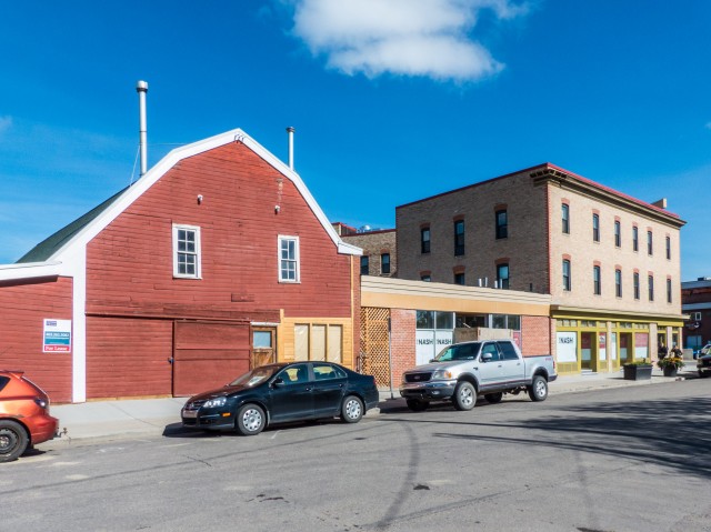


Hi Chris – great post like usual! I love the vintage signs on the older buildings in Inglewood, as well as the trains & bridges I noticed that the Canadian Pickers must of vacated their building in the former National Hotel barn, as your photograph shows an for sale sign, correct? They must of left – shame it was an nice looking barn and it deserves an good tenant…
As soon as the show ended, they moved out. I think the store was more of a set for the series rather than a real business. I never saw it open, ever! Funny though, in the show it was always packed with people! Their old fire truck was still there a couple weeks ago but is now gone.