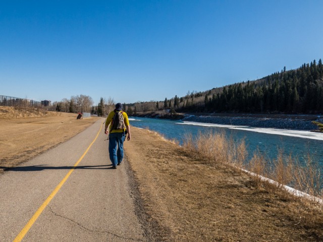
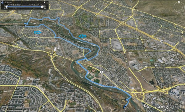
This fairly long urban trek is part loop and part out and back and takes us west from Edworthy Park to our final destination, Bowness Park. Along the trip, paralleling and close to the Bow River much of way, we’ll pass through many parks, natural areas and green spaces via paved pathways. In addition we’ll pound the sidewalk in places, mostly when we visit the community of Bowness. The entire day we enjoyed stunning blue skies.
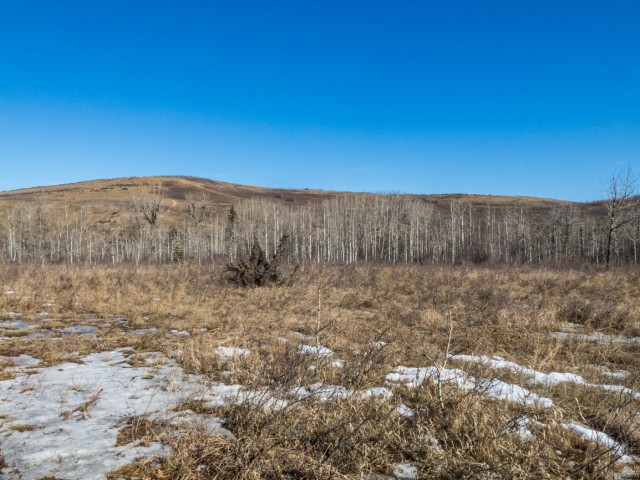
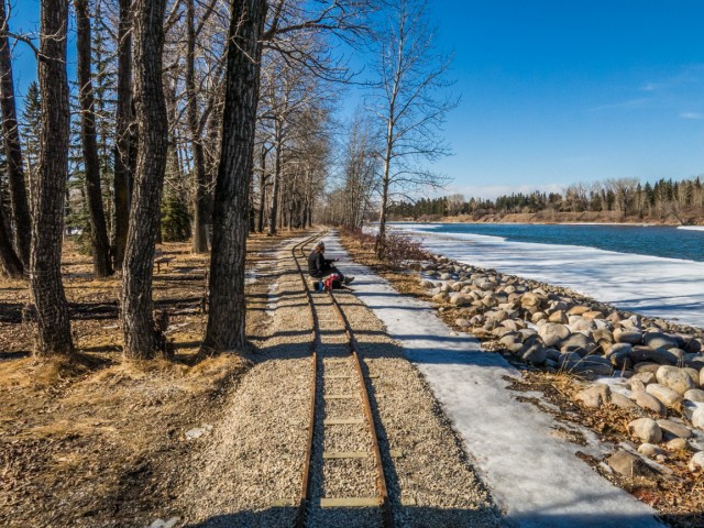
Our adventure starts at Edworthy Park. From the parking space we cross the train tracks and soon after the Bow River via a pedestrian bridge. On the north bank, we turn left and follow the river for a while, soon passing behind a residential community before hitting Shouldice Park.
↓ ↓ ↓ ↓ Scroll down for photos or to comment ↓ ↓ ↓ ↓
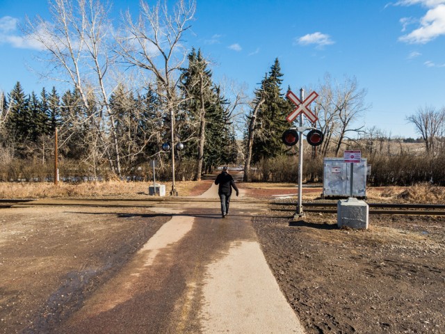
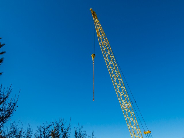
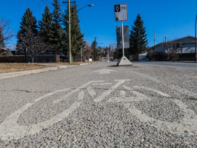
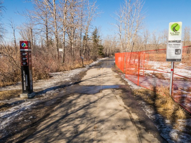
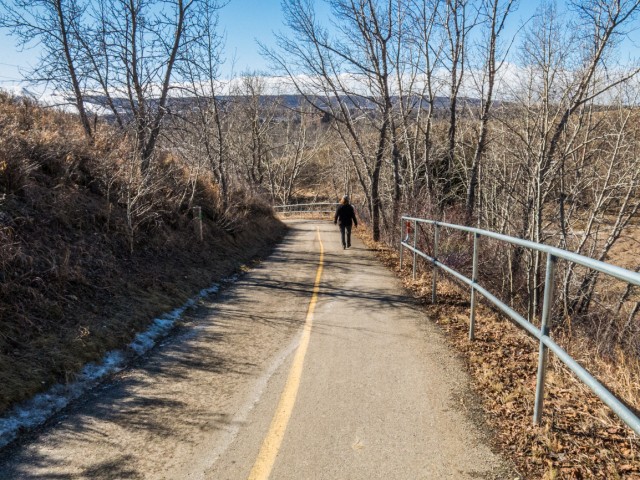
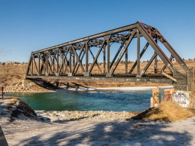
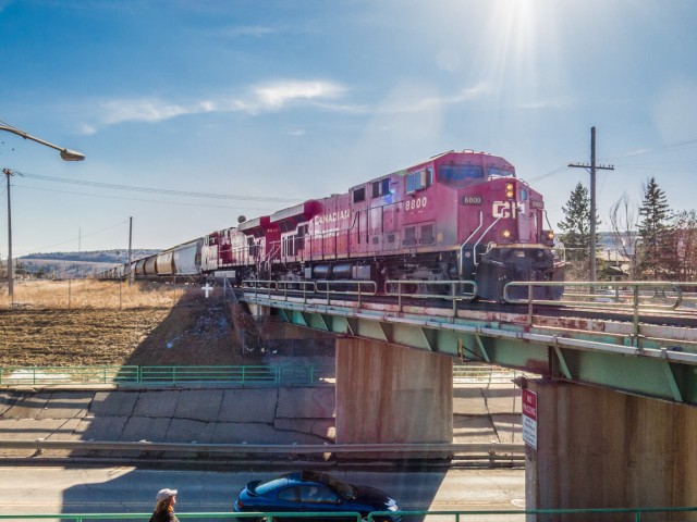
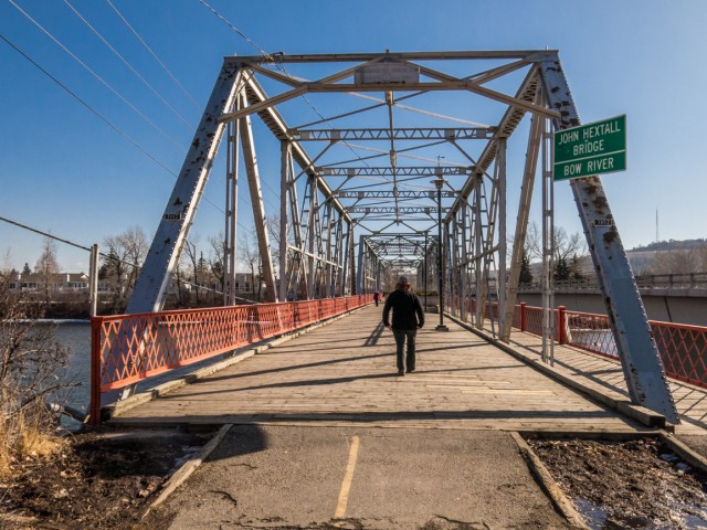
At a bend in the river we head north for a time and right away pass under the Trans-Canada highway bridge. The section we’ve traveled so far will also be seen on the return leg of our journey. At the old John Hextall Bridge, we begin the loop part of the trip. We head right, then left almost immediately on the first crossroad. For the next block or two we walk along a bike lane, given there are no sidewalks here. At the base of a hill, we hit the paved pathway again, which is icy in places. We soon drop down to river level.
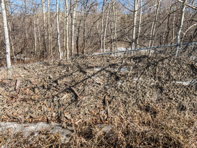
Soon we’re heading west again, passing through a reclaimed green space (winter brown on this visit) that was once a gravel pit and cement company plant. Lots of debris from the 2013 floods is still visible along this section but I suspect it’ll get cleaned up eventually. That event made a big mess which will take time to fix.
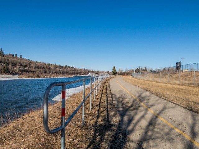
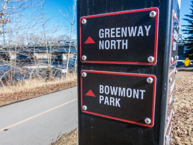
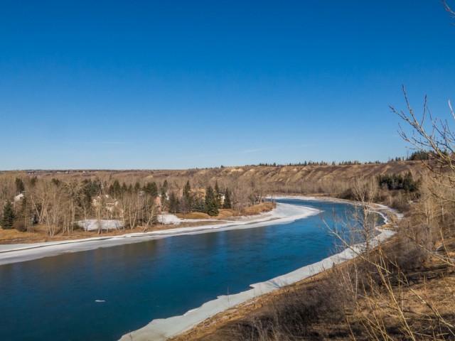
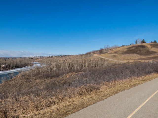
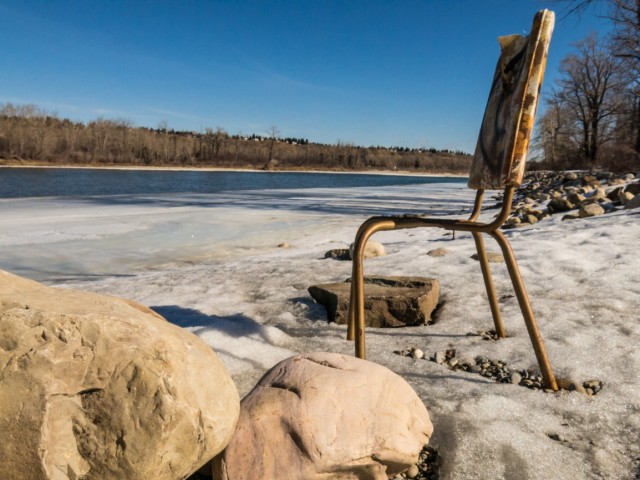
Soon we’re heading up an escarpment, the only real elevation gain the whole day. This lofty position allows us a good view of the beckoning mountains in the west and the nearly ice free (odd this time of year) Bow River below. This section is known as Bowmont Park, or Bowmont Natural Area, a slice of green between residential neigbourhoods and the river.
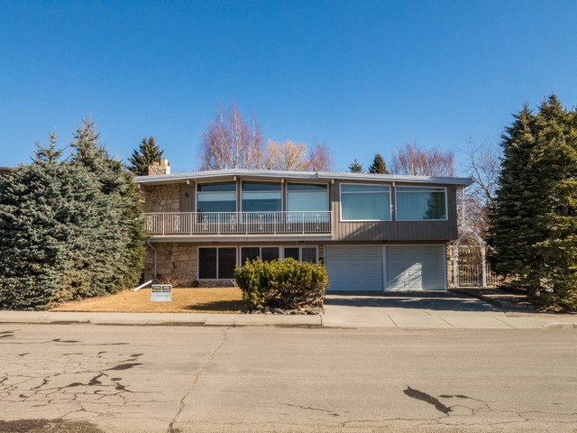
The houses along this section are clearly from the late 60s and early 70s and have a real Brady-eque feel about them.
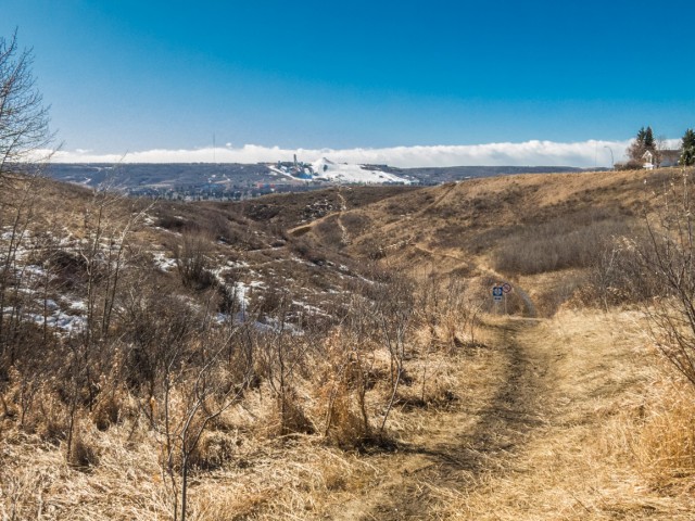
We pass by a side trail leading to Waterfall Valley, a place we plan to check out in the future. The weather has been warm for quite some time and as such the only snow we see in on the Canada Olympic Park (COP) ski hill seen in back. Otherwise, save for a bit of ice here and there, winter seems far away. Don’t worry, it’ll return. It always does.
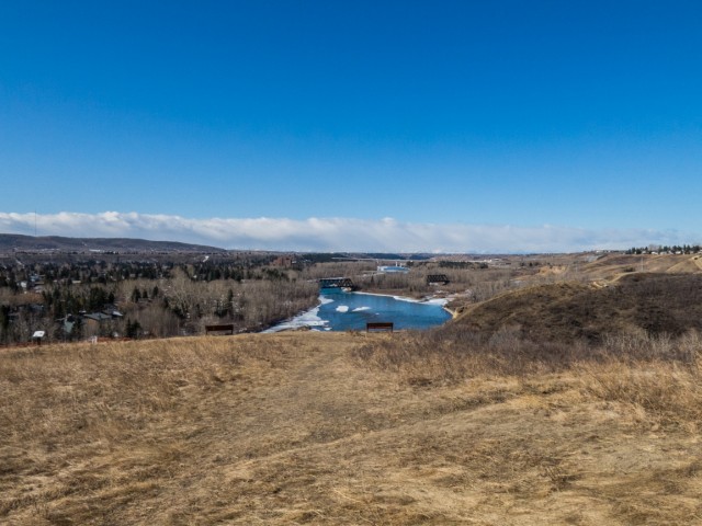
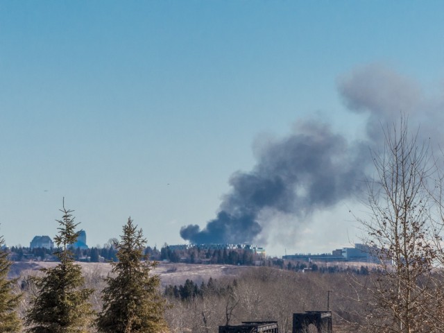
In no time we drop down to an off leash dog run area, cross the river on a road bridge and enter our objective, Bowness Park. We glance back towards downtown and notice a lot of smoke, in fact quite a big plume of it. From this angle it appears like the Children’s Hospital is on fire, but it’s actually a building under construction in downtown, so further behind, that’s going up in flames.
Bowness Park has been a Calgary institution for over a century. A former “trolley park, so named because in the old days people arrived there by streetcar, it suffered a great deal of damage in the 2013 floods and even today, it’s still being fixed up. Notice the miniature trains track shown in one picture. That ride has been at the park for decades. Time for lunch!
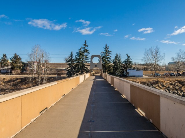
Back to the walk, we head east now. Is that a Boler? Yes! Anther one for the records. In quick succession we pass two interesting bridges, one a fairly new and for pedestrian use only and the next quite a bit older, used by trains.
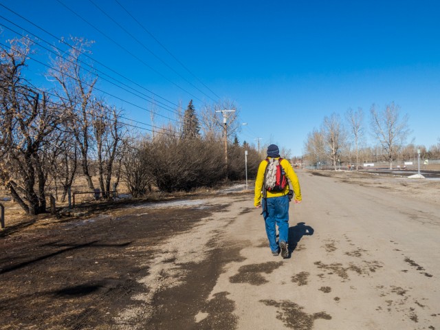
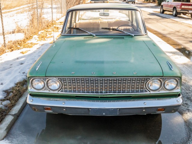
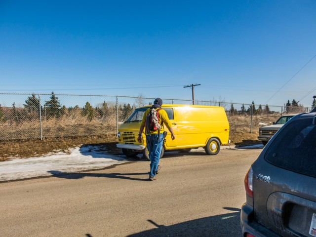
The pathway here has been washed out and so we detour and take to the streets in a residential area. Along here were find a nice 1963 Ford Fairlane, not fixed up or anything, but still looking cared for, and soon after a late 60s/early 70s Ford Van painted bright yellow. It’s just like my jacket!
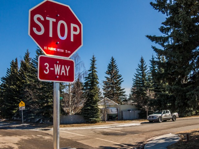
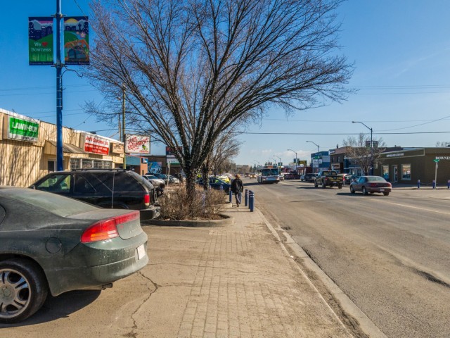
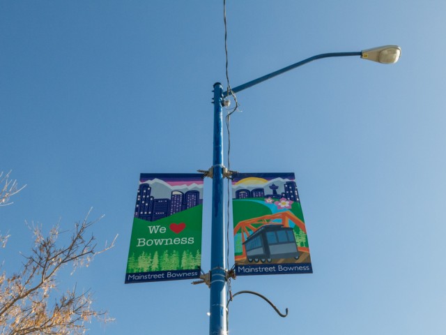
We dip under the train tracks, catching a westbound freight in the process and soon enter “downtown” Bowness. This community was independent from Calgary until the 1960s and in the old day, quite a distance from it. It has an interesting small town feel.
Be sure to comment on this post (below pictures).
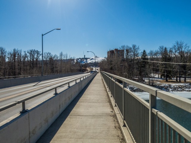
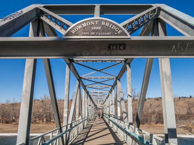
Taking to a residential street, we’re soon at the John Hextall Bridge, often refereed to as the Shouldice Bridge, a former road crossing over the Bow now used by pedestrians and cyclists. There is a new span for autos immediately to the right. This bridge was built just over a hundred years ago and once carried those streetcars that we spoke of earlier, coming and going from Bowness Park.
Back on the route we came in on, in no time we’re at the car, another fun trip behind us. While these urban hikes are nothing spectacular, we’re spoiled by the mountains, they serve a good purpose. We get the exercise we need, and some adventure, even if it is on a more pedestrian level.
If you wish more information on this trail, by all means contact us!
Date of adventure: March, 2015. Location: Calgary, AB. Distance: 18km. Height gain cumulative: roughly 100m. NOTE: all heights and distances are approximate.
April 13th 2024, the Beer Parlour Project visited the Viking Hotel, Viking Alberta and it too was an awesome time. There's Rob Pohl with his curious view camera and in the other photo Chris is seen interviewing local character Doug.
The Viking dates back to the 1930s and replaced a hotel on this same lot, which had earlier burned down.
Incidentally April 13th is also Chris and my 28th anniversary. Chris said he forgot this when scheduling this but that's fine and it doesn't matter where we celebrate but that we celebrate.
Exploring history with Off the Beaten Path with Chris & Connie. Photo: 2024. Posted by Connie.
April 12th 2024, the Beer Parlour Project visited the Warspite Hotel, Warspite Alberta and it was a great success. They put up our sticker and look for it if you ever drop by. This will be another chapter in what will be a multi-year adventure documenting small town hotels all over the west. We chat with owners, patrons, old timers, local characters and we learn about the building too.
It's believed this one is 100 years old in 2024 and we'll confirm details during the research phase done later.
When we're done we'll have a huge collection of digital and film photos, plus voice recorded interviews for an art exhibit and a book is likely.
Exploring history with Off the Beaten Path with Chris & Connie. Photo: 2024. Posted by Connie.
This little stone house was built in the 1910s and while it's not exactly clear when last occupied, research suggests it was empty only a couple decades later. This is a dry area of the Alberta and most settlers moved out by the '30s. Trees in back were planted by the folks that lived here and there's no others around as far as the eye can see. In fact, there's nothing but natural prairie in every direction. When the word "remote" comes up, this is the place they're speaking of.
Look to the comments for more info and to see a stone smokehouse also on the property 👇
Exploring history with Off the Beaten Path with Chris & Connie. Photo: 2017. Posted by Connie.
The hardware business is long gone but their old sign from about a century ago remains. We were doing a little walk-about in Three Hills and had a tip to look here. It's little things like this that we love the most, hidden reminders of things that came before and clues to the past that aren't so obvious.
More info in the comments👇
Exploring history with Off the Beaten Path with Chris & Connie. Photo: 2023. Posted by Connie.
The Canadian Pacific Railway at Summit Lake Crowsnest Pass in 1983 and 2023. The trains still run, but the railyard and associated infrastructure is a distant memory. Haze in the now photo is from distant forest fires. The old Summit Hotel can be seen in back in both and it's one of the few things still standing here from earlier times.
The Then photo come thanks to the John Bjorklund collection at the Center for Railroad Photography & Art and is used with permission. They sent us others and we'll hopefully be putting them to use later this year.
Go to the comments for more info 👇
Exploring history with Off the Beaten Path with Chris & Connie. Posted by Connie.
Thanks to the The Val Family for making this post possible. If you like what we do and want to support this ongoing project (12 years now), go here: https://www.BIGDoer.com/help-the-society/
Two things that make us giddy in Hodgeville Saskatchewan and now both are gone. That majestic grain elevator dates from 1967 and sadly it was torn down a few years back. There's a Canada 100 logo high up there on the cupola.
The home made motorhome is something else and locals insisted it was powered by a radial engine salvaged off a De Havilland Beaver bush plane. How in the world? The fellow who built it passed on before its completion and soon after our visit it was scrapped. Rural folks seem to have this crazy ability to craft something they need out of any old bits and pieces lying around.
Exploring history with Off the Beaten Path with Chris & Connie. Photo: 2014. Posted by Connie.


What a great day for a walk.
…with my best friend!