
Junction Hill
Located in the Highwood River area of Kananaskis, Junction Hill is our first summit of note in 2015. Our route to the top takes in two connecting ridges, making a loop of them in a counter clockwise fashion. You can do as we did, or can mix it up, going opposite us, or picking one side or the other alone for both the up and down trip. The choice is yours. The views from the summit, naturally, are wonderful and definitely worth the effort now matter how you get there. We recommend it.
The hill gets its names from a nearby highway junction. Most of this hike there is no defined trail. While not a true scramble there are some steep rocky parts to negotiate, some bushwhacking and possible route finding challenges. Experienced hikers will have no problems.
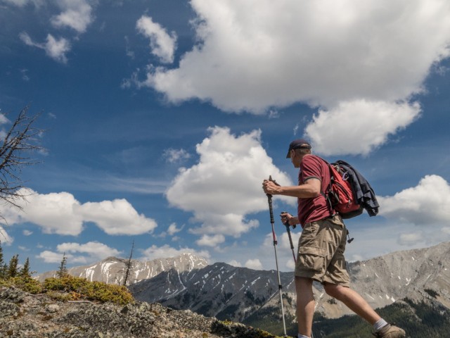
Park at or near the winter gate (closed until June 15th). To gain the east ridge make for the grassy slopes to your right. We picked an obvious line that bisected two cliff bands, probably the best option from what we could see. Once on the ridge spine proper, which sometimes is narrow, just head up. The way is obvious. An occasional level section here and there affords one’s legs a rest.
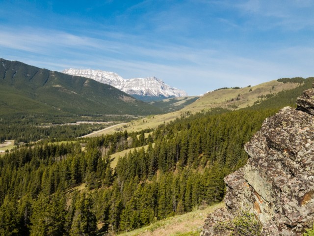
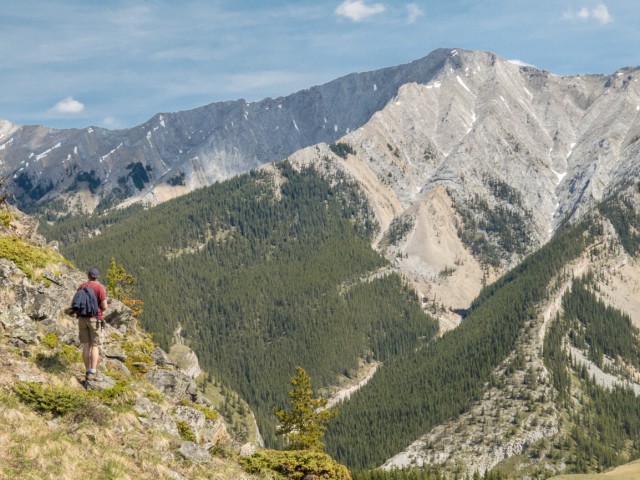
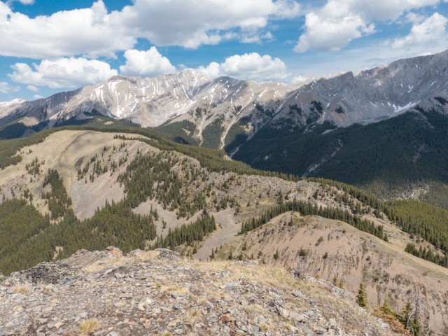
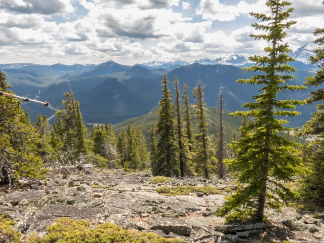
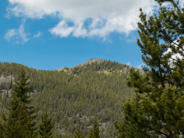
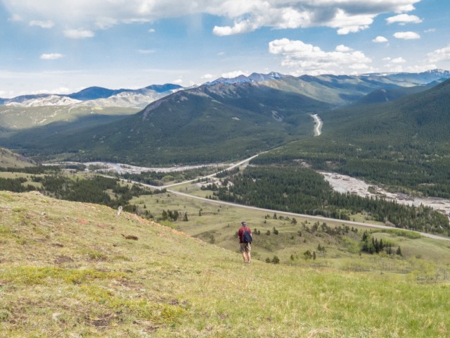
Most of the ascent is in the trees, for the most part, but even so there are places where they thin and the views open up. Right below, to the south, is the highway and behind it the Highwood River, its course badly chewed up from the spring 2013 floods. In behind is an endless series of rolling hills. Notable ones include Raspberry Ridge, Coyote Hills and Hells Ridge. The broad and completely flat summit of Plateau Mountain stands out. Beside it is Mt Burke, home to an abandoned fire lookout. A gravel highway allows hikers easy access to all of these.
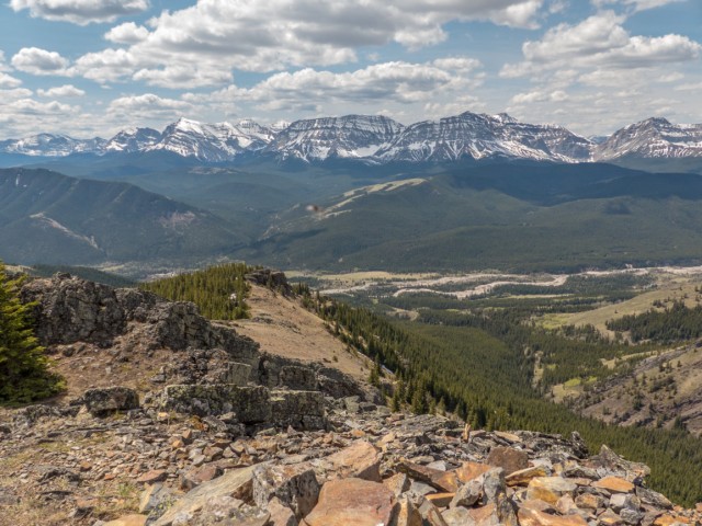
To the west is a impenetrable wall of barren rocky peaks. Directly east and towering well above us is Holy Cross Mountain and connected to it by a ridge, and a bit north, Mount Head. Our summit seems almost insignificant compared to these two. Right below is a valley we explored in 2013 – article: Junction Hill recon.
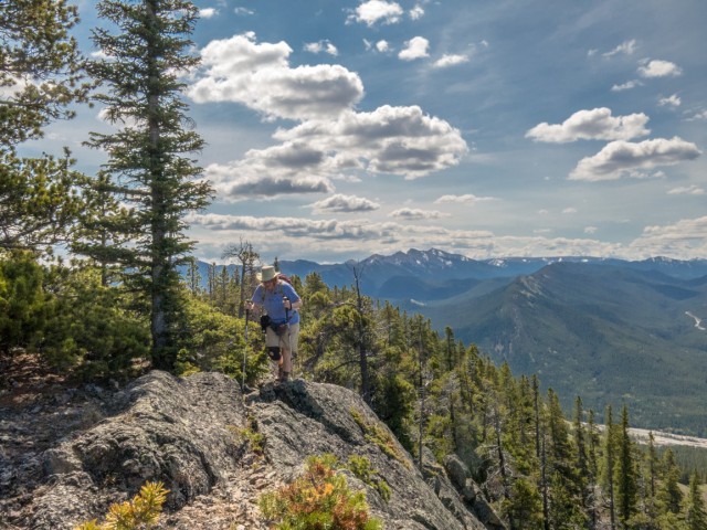
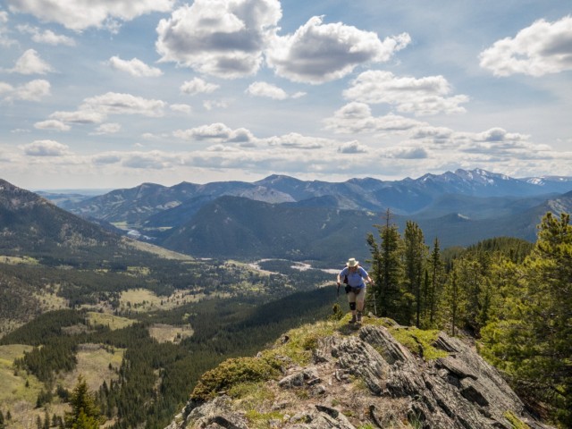
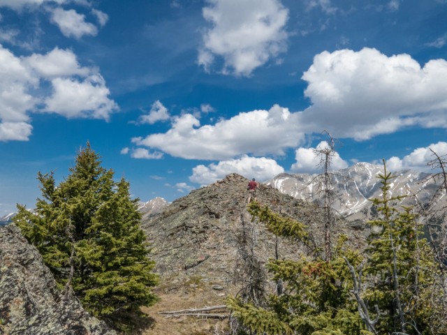
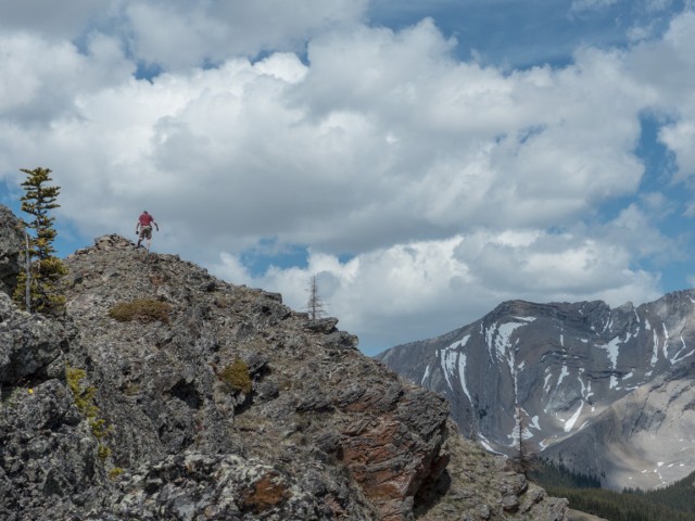
At some points the ridge becomes quite rocky and in places looks almost impassable, but there is always a relatively easy way through. Scrambling is optional. The summit soon comes into view. Actually it’s the false summit, but the true top, only slightly higher, is only a hundred metres or so away from it.
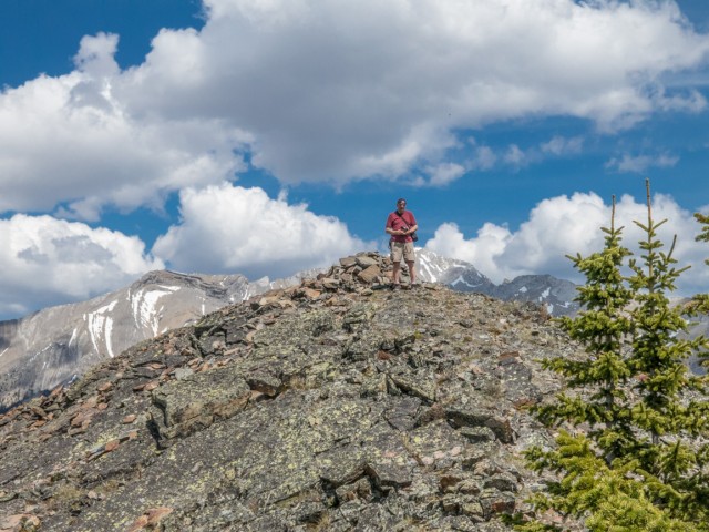
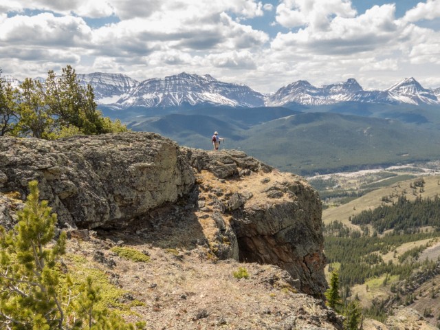
One final push up a rocky slope, with a short drop through a break in a cliff band. and it’s success! You’re at the top.
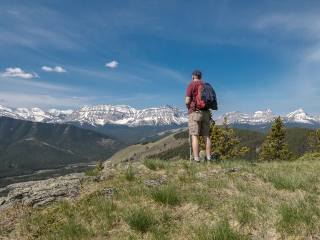
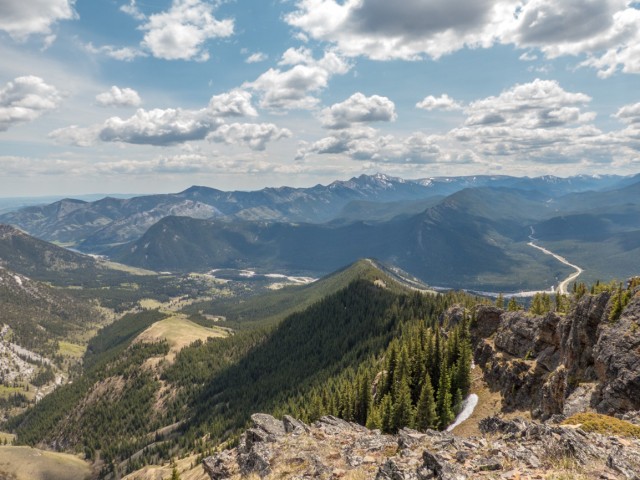
Given that the summit of Junction Hill is connected to many other ridges in the area, it does not feel all that airy. Still thought, the views are nice. Below and to the east is Stony (or Stoney) Ridge. Directly north is the Cat Creek Hills. To the west and below is a broad valley with high peaks off in the distance. The highway, devoid of traffic (recall it’s closed until mid-June), and river can be seen below. There are lots of nice hiking trails in this area and it’s one of our favourite sections of Kananaskis. It’s not that busy, which is what we like.
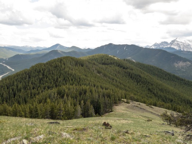
We get our first look at the west ridge which we’ll take on the way down. It much more broad then the one we climbed up and in places is densely forested.
After lunch I look in vain for a geocache supposedly located in the summit cairn. No luck.
Heading down the west ridge we come to a large rock outcropping (great for photo ops) before the trees close in. For the next couple clicks you’ll be bushwhacking. Bring a GPS or compass if you’re worried about getting lost. Along here a couple boulder fields are passed. Take your time crossing these. It’d be easy to twist an ankle here. Look up and back, if you can, in the occasional open areas and see the summit you left not that long ago.
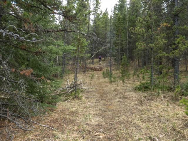
Coming to some west facing meadows, drop down to a saddle. Heading up, briefly, it’s back into the trees for a while. They soon thin however and from here on in, simply head down, first in a south direction, than in a easterly one, on open grassy slopes. The way is clear.
The occasional gnarled tree corpse reminds one just how tough conditions are around here. The wind often times blows HARD. Luckily, we had nothing but calm and blue skies. Thanks Mother Nature.
Your parking spot will soon come into view and in no time, the trip is over. To bad, as it’s just so darn enjoyable.
For some reason the down half of this trip seemed longer to us, not in distance, but in height lost. The hill is fairly modest in elevation, even if it has the attitude at times of a mountain (it is rugged). Our GPS said the top is 720m high (odd., a few reports say much more), but coming down it felt as though we lost twice that much. Strange.
If you get the chance to climb Junction Hill, you won’t be disappointed. It’s fun, a bit exhilarating in places, with lots of varied scenery and terrain. How can you go wrong? If time is short, stick to the east side ridge, it’s overall the better option and is more interesting, fun and direct. It does not seem a busy place and we saw only a few people.
A couple years back we explored the valley to the east of Junction Hill to see if it could be summited from that side. We did not find a way that time, but saw this trip that, with some skill and luck, it could be possible. A new possible loop route?
Our favourite summits…
South End of Lawson.
Wind Ridge.
Turtle Mountain.
Windtower.
If you wish more information on this trail, by all means contact us!
Date of adventure: May, 2015.
Location: Highwood area, Kananaskis, AB.
Distance: 9km loop.
Height gain maximum: 720m (some reports says it’s as high as 800-900m).
Height gain cumulative: 800m.
NOTE: all heights and distances are approximate.
Technical bits: boulder fields, some hands on almost-scrambling.
Reference: Kananaskis Trail Guides by the Dafferns.
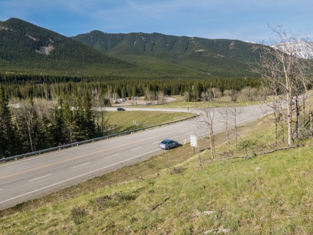
The start of the Junction Hill hike.
Looking west as we gain elevation.
Highwood River below – Raspberry Ridge dead centre back.
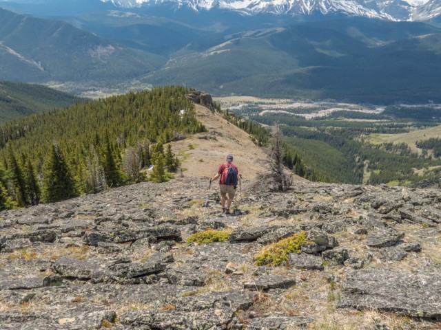
Ridge walking at its best.
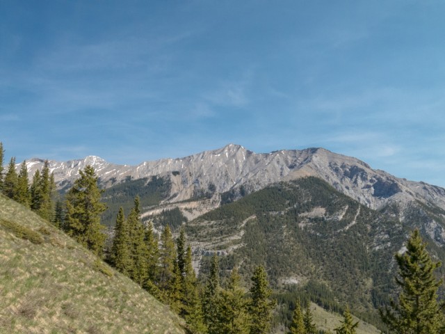
Holy Cross Mountain.
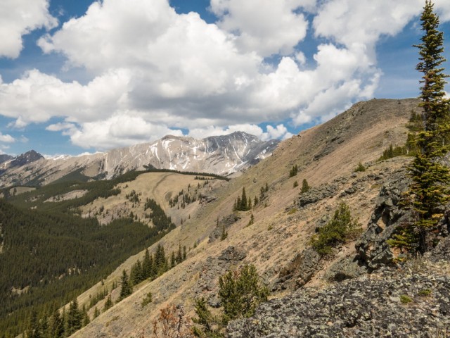
An impenetrable wall of peaks in the west.
In places the ridge thins.
The summit comes into view.
Another look at Holy Cross.
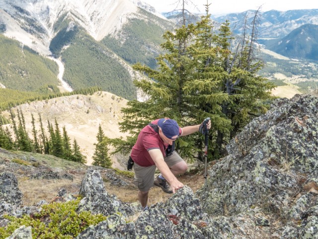
Connie follows…
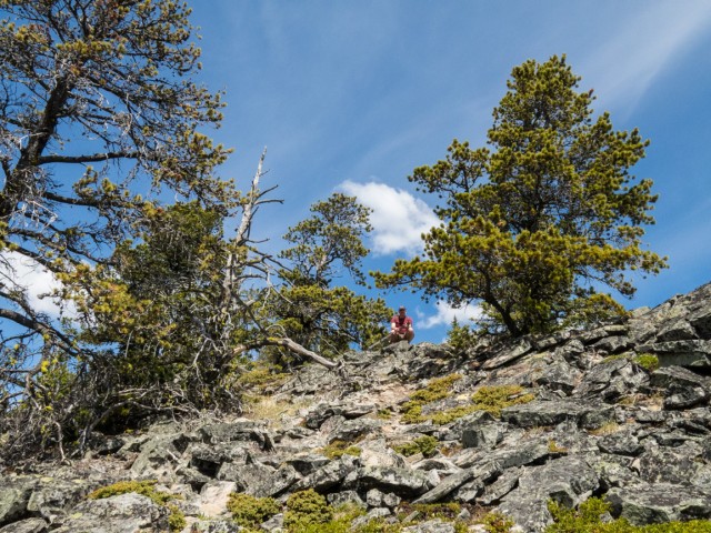
Some sections of the ridge are quite rocky.
Most of the way up, we’re in the trees.
Mt Head in back.
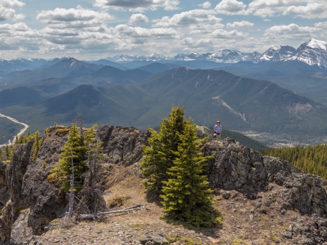
Success!
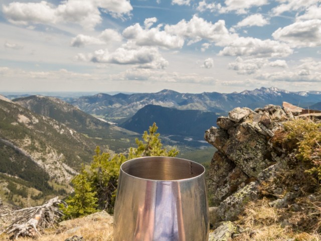
Taking in the views…
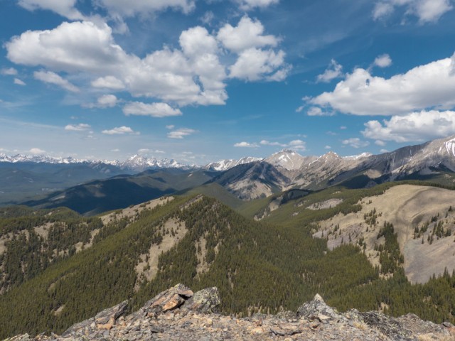
In front and centre are the Cat Creek Hills.
Stony (or Stoney) Ridge in front – Mt Head (i) and Holy Cross (r) behind.
We’ve explored the valley on the left in 2013.
The west ridge, which we’ll use on the descent.
Lots of treed hills to the south.
I look in vain for a geocache.
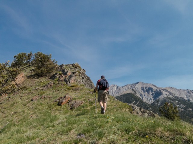
Up we go…
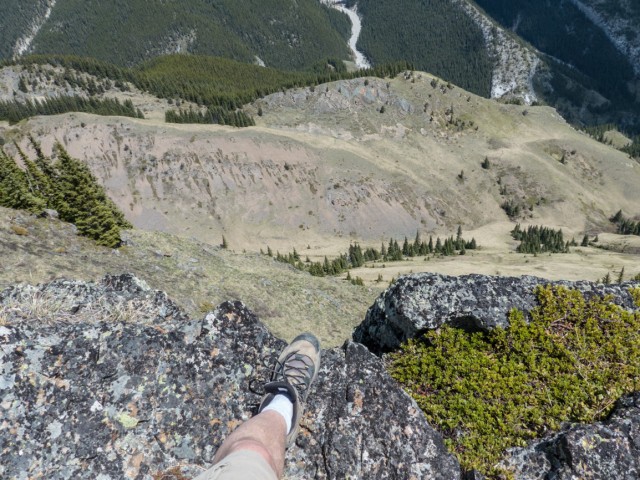
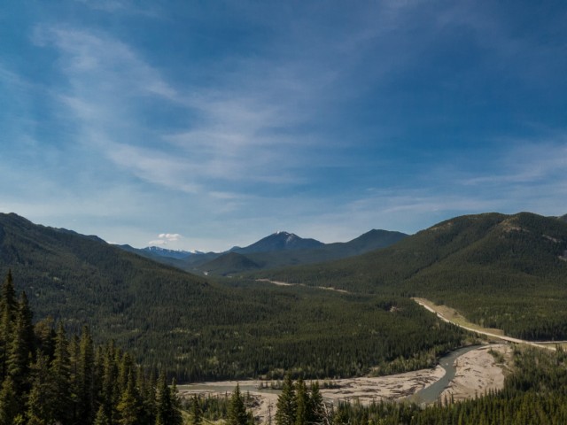
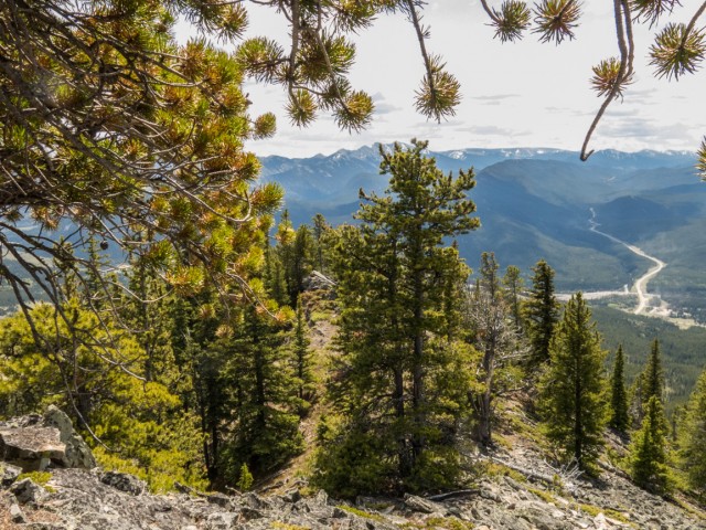
The drop down to the valley in the east.
Lunch time!
On the way down.
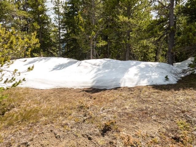
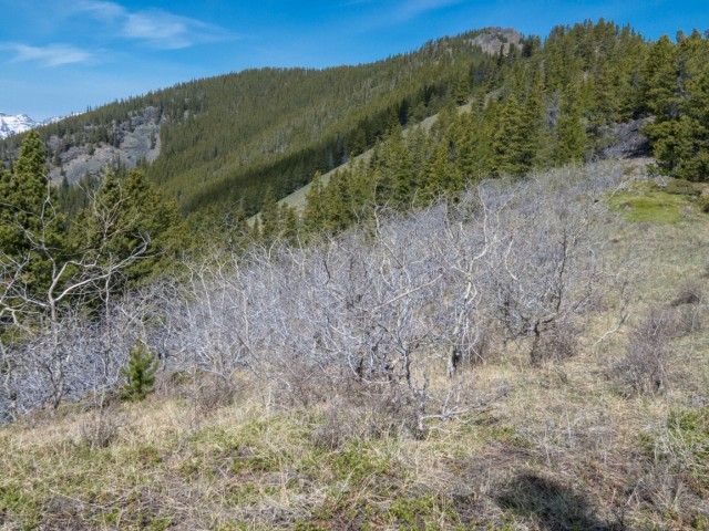
Snow still lingers in places.
Looking back…
Not a bad place to be.
We had to be careful crossing these rocks.
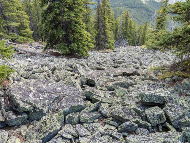
Negotiating this boulder field was no fun.
Some bushwhacking ahead.
But it wasn’t so bad.
One last glimpse at the top of Junction Hill.
Dropping down on grassy slopes.
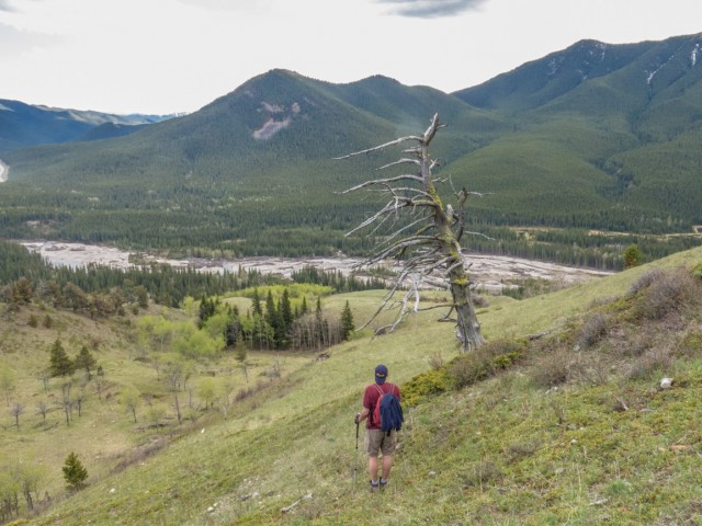
Passing a long dead tree.
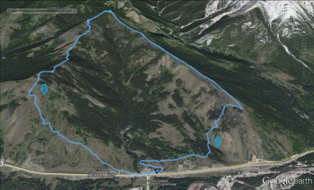
The Junction Hill route.


I really have to go!
Like to the bathroom? Haha!
Love your website and your passion and these pics. What a beautiful place!
I really enjoyed Junction Hill. A lot!
(via Facebook)
Wow, that’s so beautiful!
It’s even better in person!