
Diamond T
If time is short or you’re not feeling terribly ambitious, the Diamond T loop hiking trail is a good choice. It’s reasonably close to Calgary, one of the first trails encountered when heading west out of town into the Elbow River area of Kananaskis – it’s almost at the park boundary, where the foothills start. While not a overly scenic route, it’s mostly on the trees, it has it’s own charms. We had a great time, but then we always do.
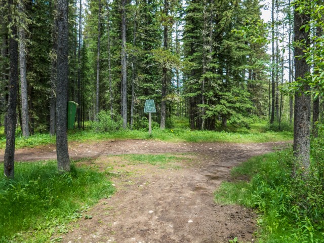
We’d suggest the loop be traveled in a counterclockwise manner, which allows one to reach the “viewpoint” (calling it that is a stretch!) near the end of the journey. The trail is official meaning it’s maintained. Drainage is mostly good but expect to see a few muddy sections here and there. Junctions are marked with orange diamonds or maps.
The trail is also used by bikers and apparently equestrian riders too. Also expect to see free range cattle at any time roaming the area, who it seems, always leave their calling cards behind (piles o’ poop).
Start at Station Flats. Pass the kiosk and head in the trees, which will be your company for most of the trip. Shortly after, go right at a junction. When you return you’ll come in from the left here. This part of the route is shared with the long distance Tom Snow trail.
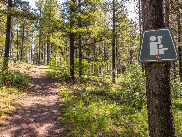
Passing through a gated fence, one of two seen this trip, one comes to a curious sign warning of logging activity. Logging? In Kananaskis? But this is a recreation area, right? They say it’s for fire mitigation measures, or something like that, but perhaps the all mighty dollar might have a small part to play in this.
This subject, as would be expected, is hotly debated amongst users of the area and environmentalist as being unnecessary, while the sawmills, naturally, argue otherwise. The ugly scars left behind will be seen from time to time on this hike.
At the next junction, head left (Tom Snow right) and traverse a grassy hillside, one of the only times the trail is not deep in the trees. We were blessed with blue skies this trip and those colours, and the wonderful greens of the forest, intermixed in a way that was very intense.
At another junction, turn hard left. Due to damage up ahead part of the trail has been rerouted. For the next click or so after, an old cut line is followed. Most of the elevation is gained here, and some lost and regained due to dips.
Trending left at fence line, the trail heads up more, but not much more, and in a few moments a side track can be seen heading up and to the left. This takes one to a bench at the “summit” of a little treed knoll. There is not much to see, given the forest is all around, but it’s still a pleasant diversion. It makes a nice lunch spot too.
Backtracking and then heading left, you’ll drop down at a steady pace, passing another logged out area before soon intercepting the Elbow Valley Trail. Turn left here paralleling the nearby highway, which can be seen AND heard. Before long you’ll be back where you started. It’s a fast four clicks!
This is the first time we’ve hiked Diamond T in eons. We saw a couple bikes, that quickly came and went, but otherwise had the place to ourselves. While this hike will never be on anyone’s top tens list, or even top million list, one can still have fun and a good workout to boot.
Diamond T was the cattle brand of a ranch that once operated in the area.
We combined this hike with another nearby, the Fullerton Loop trail, doing this one in the morning and the other in the afternoon. That trail by the way, in many ways, is similar to Diamond T, and is a loop, a bit longer, that for the most part is also in the trees, but with some better views at the end (assuming you also do it counterclockwise). Report coming soon.
More hikes from the area…
Powderface Creek.
Elbow Valley – sulphur Springs loop.
Prairie Mountain.
If you wish more information on this trail, by all means contact us!
Date of adventure: June, 2015.
Location: Elbow River area, Kananaskis, AB.
Distance: 4km loop.
Height gain maximum: 120m.
Height gain cumulative: 160m.
NOTE: all heights and distances are approximate.
Reference: Kananaskis Trail Guides by the Dafferns.
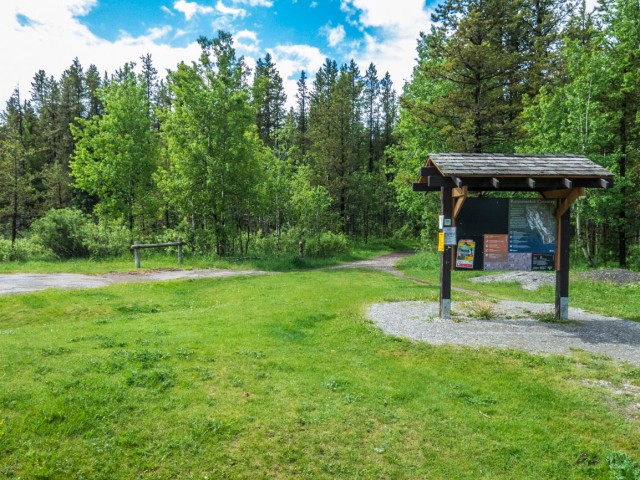
The Diamond T loop trailhead.
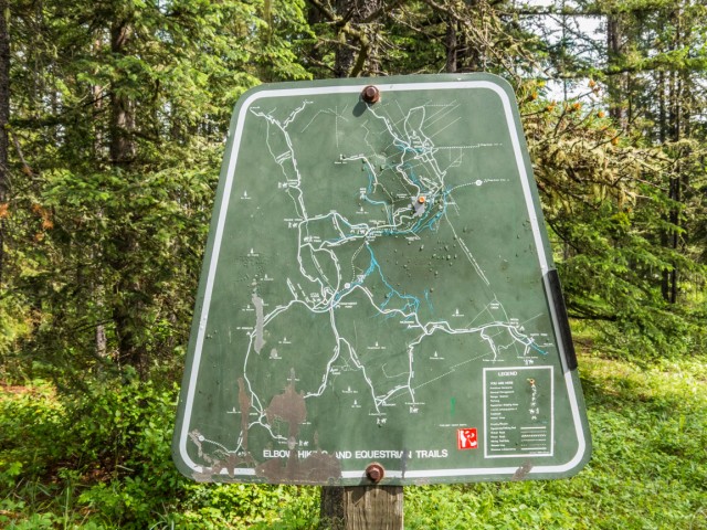
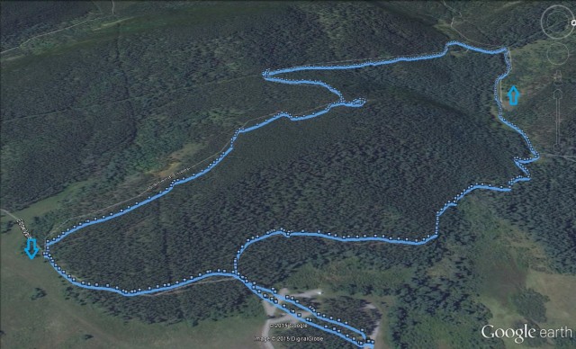
A map to guide you.
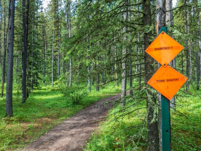
Part of the trip is shared with the Tom Snow trail.
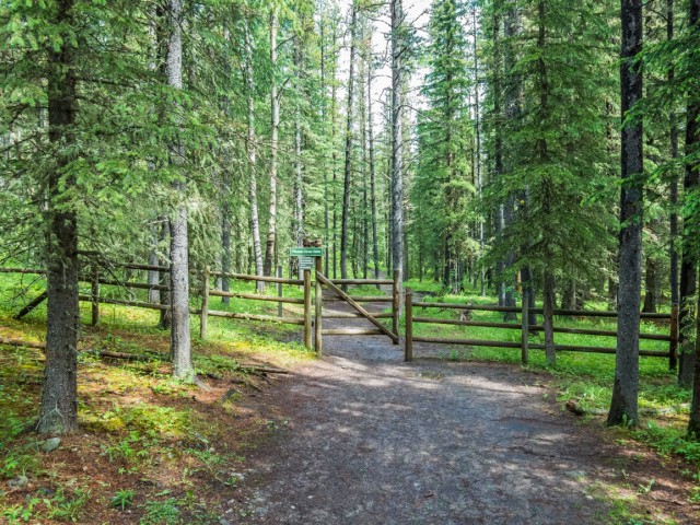
You’ll have to pass though a couple fences.
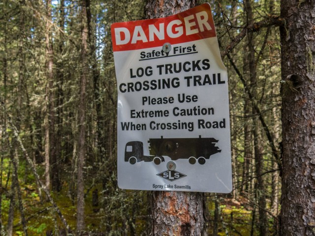
Logging in Kananaskis, a hotly debated subject.
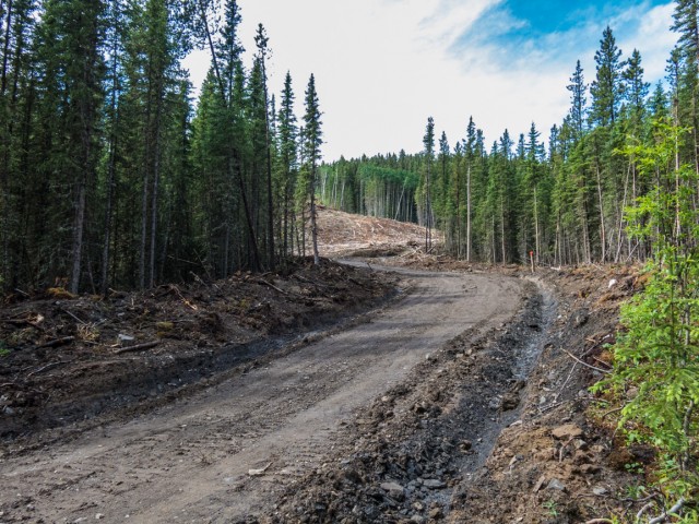
Some of the ugly scars passed.
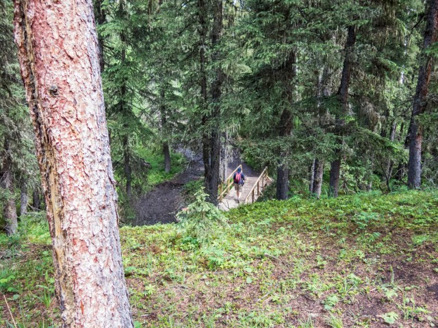
Dropping down to cross a stream.
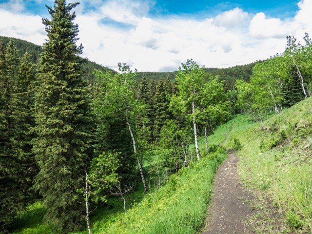
We traverse an open hillside, one of the few times we’re not in the trees.
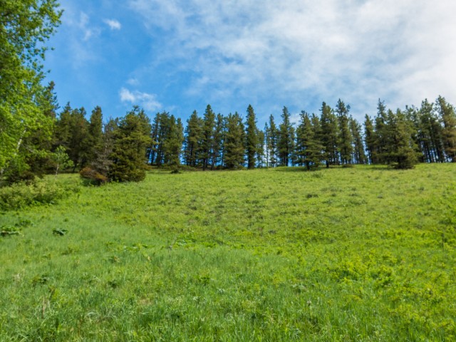
The colours were intense.
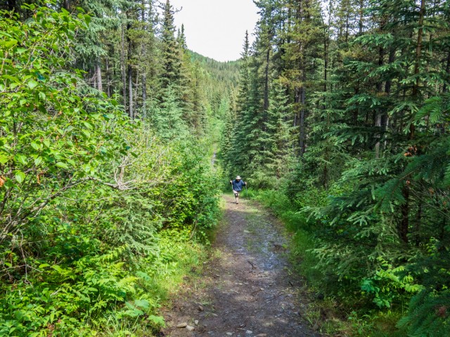
Connie follows me up…
Calling it a viewpoint might be a stretch.
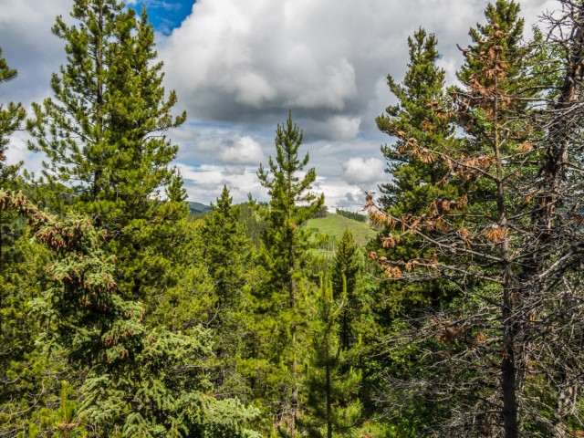
Here’s the “view” to the north.
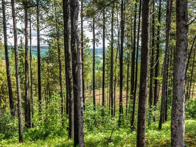
And the one to the east.
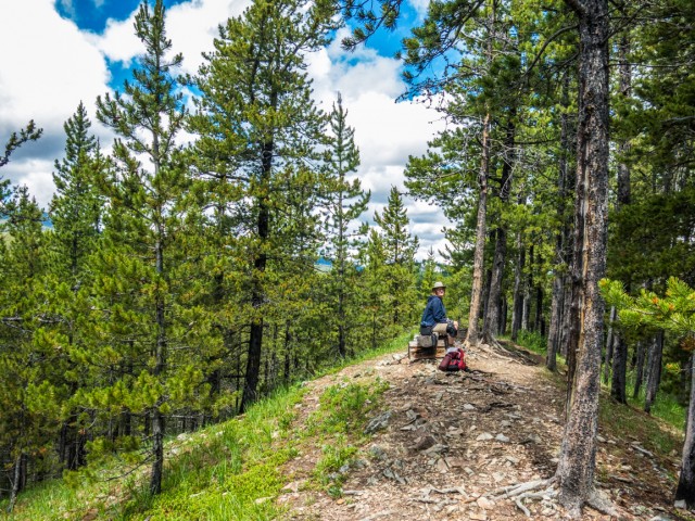
The “summit” and our lunch spot.
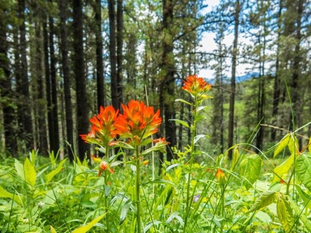
Indian Paintbrush.
Back where we started.
A four kilometre loop of fun.


It’s practically my back yard and it’s the first I’ve heard of logging!
It caught us by surprise too. Sure, we heard it MIGHT happen, but that talk sort of trailed off and we forgot about it.