
Sandy McNabb Hills
Sandy McNabb Hills
Story and photos by Chris & Connie.
This day’s objective is a series of eastward trending low rolling bumps, treed on one side, grassed and open on the other, overlooking the Sheep River in Kananaskis. They make for a nice and easy hike when ambitions are lacking, in the colder months when trails in the west are buried or simply inaccessible, or like in our case, when time is a bit short.
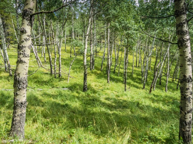
There are many ways to get to reach the Sandy McNabb Hills. We choose to use some of the “official” Sandy McNabb XC ski trails to help us get close, then once below them went off grid, using faint informal trails or no trails at all. There are three high points in total, across two separate hills, all roughly the same elevation, and a few lower tops. In between, in lower reaches, are Aspen woods.
We parked at the entrance to the Sandy McNabb campground (there is a Sandy McNabb pattern here!) right at the highway winter gate. Heading across the cattle guard – this is cow country so expect to share the land with many moo-moos – find the trail heading southeast-ish. This is the south leg of the official “Meadow Loop” trail (Daffern calls it Alder Trail). Follow it, through the trees for the next bit, ignoring any side trails heading down and to the right, or left. Some intersections are marked with maps, but only show “official” trails (recall about half our route is informal).
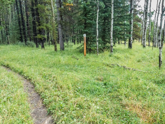
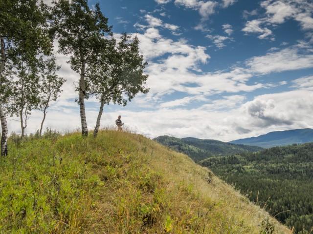
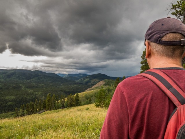
At a left bend, marked by a post, take the faint path heading right through the grass. It soon heads up topping out at one high point and soon after another, the two summits of Sandy McNabb Hill West. Steep banks drop down to the Sheep River far below. We saw some Big Horn Sheep way down there. This makes a good lunch or snack spot.
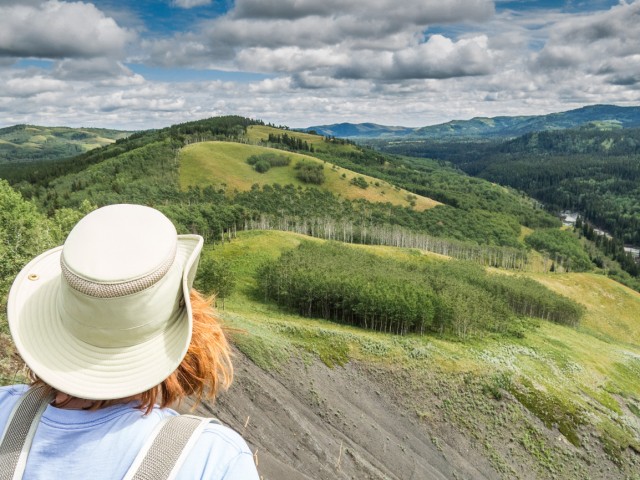
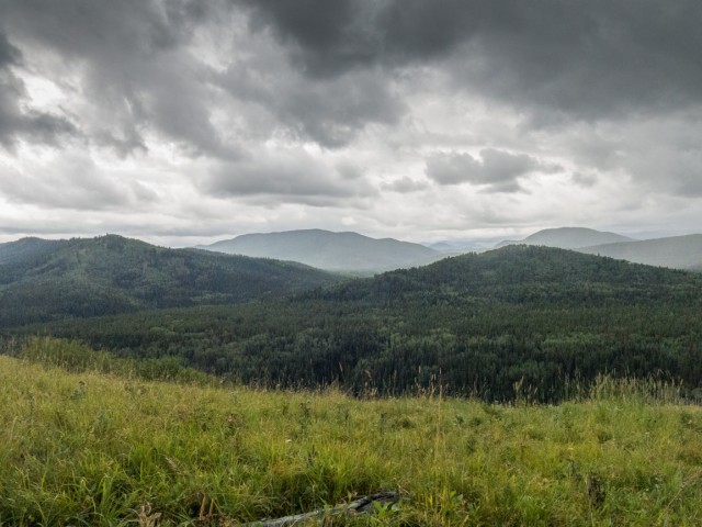
From this nice vantage point one can see all sorts of hills and ridges extending off in three directions (the north aspect is always blocked by trees recall). A few we’ve been up include Windy Point Ridge and the back side of Missinglink Mountain in the west. It’s treed from this angle but has some nice open aspects to the west. To the southwest and south, Green Mountain and Mt Dyson are the most prominent. We’ve not visited either, but maybe we should? To the east, hills taper off to the prairies.
Dropping down, in deep grass, into the trees and paralleling a fence, come to a cattle gate. The trail heading off to the left will be used on the return trip (if you follow our route). Moving on, now sans trail, simply head up the lightly treed and later open grassy slope dead ahead. The way is obvious. We encounter cattle here, who were not the least bit happy to see us. Watch for their ever present calling cards underfoot.
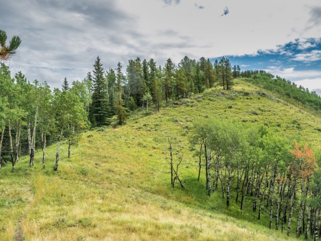
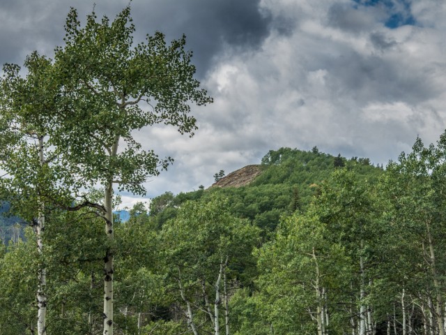
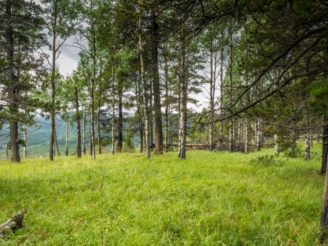
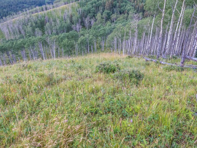
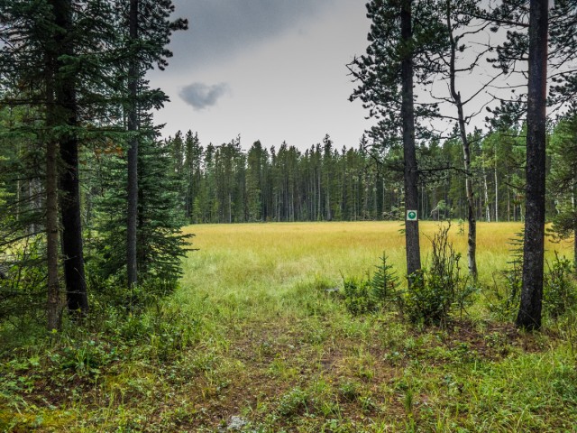
The trail tops out at another high point , drops into the trees again before the final push to the next and final top. The actual “summit” (haha, that’s a good one) of Sandy McNabb Hill East is in the trees. Open meadows face north.
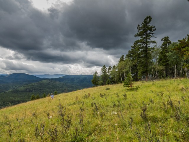
Storm clouds roll in – quickly. Soon thunder will be heard and lightning will be seen off in the distance and it’s all moving our way. Time to make make our escape! We head back the same way, down, then up then over, until we hit that trail-at-the-cattle-gate mentioned earlier. A deluge of rain starts and we find a big grove of spruce tree to hide under for a while.
We’ll use the south end of “Logger’s Loop” the return way. It flanks the base of Sandy McNabb Hill (proper) to the north and connects back with the Meadow Loop trail we came in on. Maybe it’s a bit easier. We took it, cause it was there!
We fully expected we’d be playing in the mud down low (Gillean warned us), but in spite of the rain it wasn’t all that bad. At a junction we have to pass through a bog which we skirt around on one side. Even so, it was a wet slog.
Connecting back with the trail we came in on, we’re soon back at the car. A little wet, a little muddy, but no worse the wear. We saw no other hikers this trip. While nothing exciting, this outing was fun and the views from the various tops were much better than expected.
Some nice hikes in the general area…
Volcano Ridge.
Sandy McNabb XC ski trails to Pine Ridge.
Carry Ridge.
If you wish more information on this trail, by all means contact us!
Date of adventure: August, 2015.
Location: Sheep River area, Kananaskis, AB.
Distance: 6.5km total.
Height gain maximum: 100(ish)m.
Height gain cumulative: 250(ish)m.
NOTE: all heights and distances are approximate.
Reference: Kananaskis Trail Guides by the Dafferns.
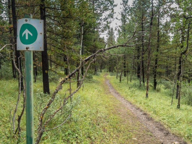
Trees is all we’ll see for the next click or so.
We leave the trail here and head right.
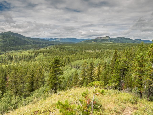
A sea of rolling hills – Windy Point Ridge highest bump on right.
Looking toward the first “summit”.
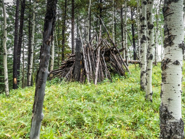
A pretty substantial shelter.
Our lunch spot…
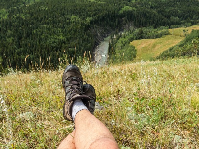
The Sheep River below.
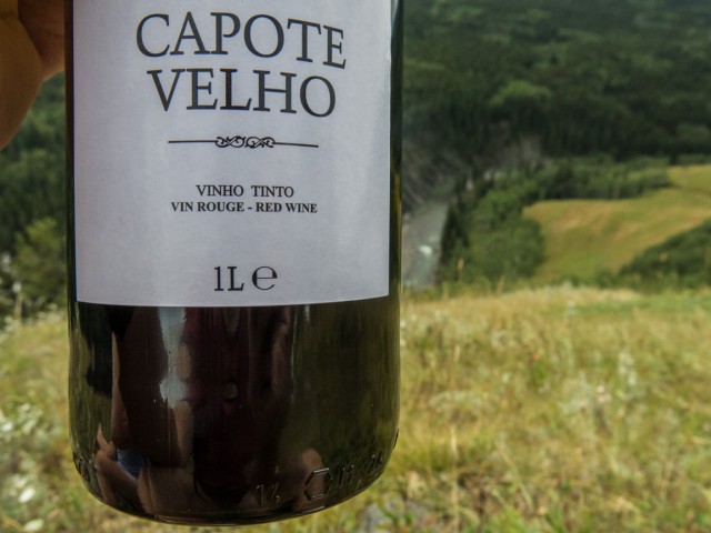
A one litre bottle of wine, SO much better than the “regular” size.
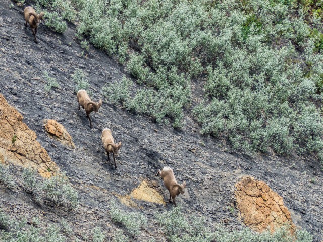
Bighorn Sheep.
From one high point looking towards the next.
Looking back…
In many places there is no trail.
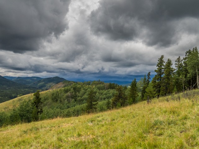
A storm gathers in the west.
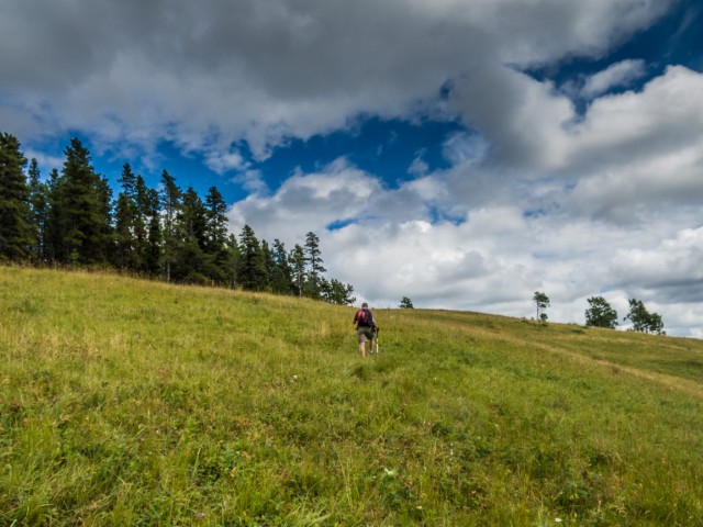
One final push.
Connie’s not far behind.
The east “summit”.
It’s going to rain soon!
In the south, Mt Dyson in the centre.
Making our way down.
The rain starts and we take refuge under a large spruce.
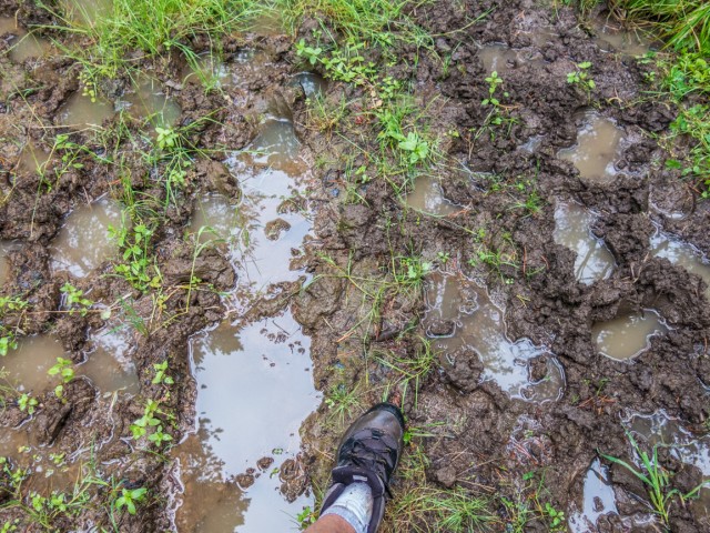
After the rain – playing in the mud.
We have to cross a big bog.
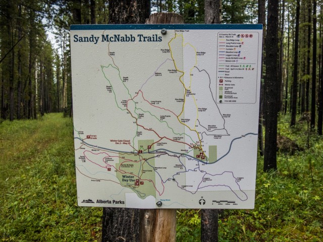
There are maps at many junctions showing “official” trails only.
A wet slog – Connie can be seen on the right.
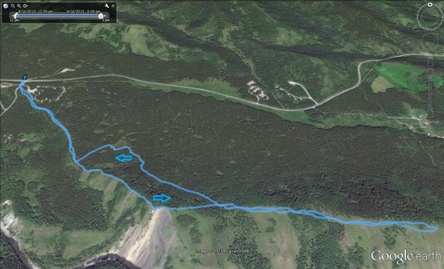
Our route – start left.


")


My son saw our ‘fort’ in the pictures and figured we are famous now. We build it up a little every time we go up there.
So you’re the ones behind it? Was thinking of moving in! Thanks for commenting.
One of my favourite places to hit up!
Not a bad place to be.