Windtower
When you see Windtower from the Trans Canada Highway it would be hard to believe it’s an easy hike to the top. From this end, all one sees is sheer cliffs and huge drop offs, but from the back side by the Spray Lakes it’s easy and very manageable offering no challenges whatsoever.
Given the many wind-named features in the area (Windtower, West Wind Pass, etc), it seemed likely that our trip would be, well……windy. But it was not, and the air was perfectly still. Our hike up Windtower was anything but windy, but we did occasionally get winded.
Some snow had fallen higher up the night before but it was presenting no challenges. It was not overly cold and since the grade is always moderate, the footing was still easy. In fact it made the going quite pleasant.
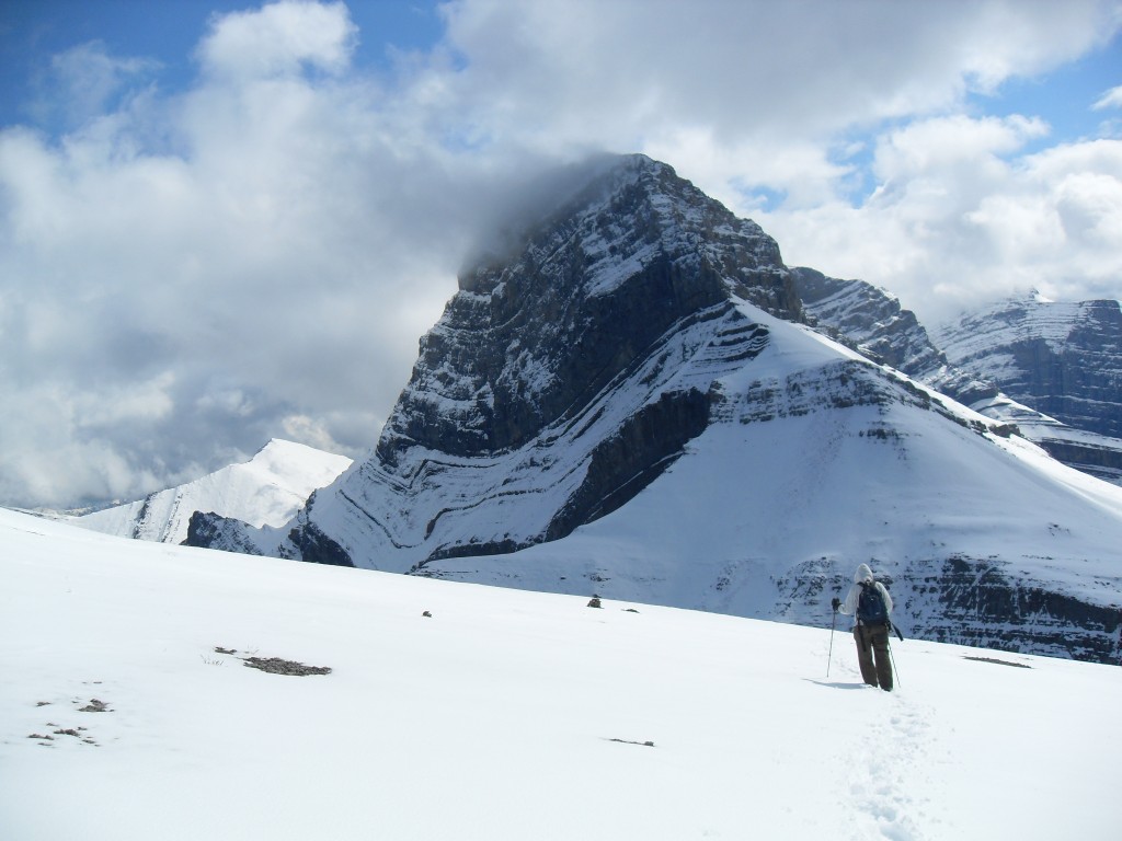
This adventure starts on the West Wind Pass trail on the Spay Lakes road. This route takes you to a col between our objective and its neighbour, the mountain called Rimwall. Like ours, it too has those nasty vertical cliffs when viewed form the highway, but is a relatively easy scramble to the summit from the back side.
This trail gains elevation steadily either in the trees or on south facing slopes at the top of a small canyon. The going is nice and the trail easy to follow. On arriving at the pass, it’s a simple matter to traverse right across Windtower’s west flank until you reach a point where the the grade on your left eases. From there head up until you reach the col between our mountain and much larger Mt Lougheed to the right. Then head left (otherwise you’ll fall off the edge) gaining elevation on the wide spine until you reach the top. The way is always clear, boulder free and non-technical.
Near the top the spine narrows a bit and this is where you get to appreciate all those the sheer cliffs you saw from the highway. Everything drops away around you and for someone like me who is terrified of heights, it’s exhilarating (heck I was near frozen with fear). I know what you are thinking – why would I do this if heights scare me. I often ask myself that same question and so far I have yet to find a good answer.
There are terrific views of the surrounding mountains and the valley below. The snow up here made it feel a bit like winter, even if it wasn’t that cold, yet far below it was still very pleasant.
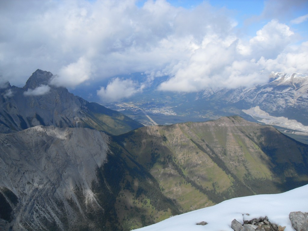
To the north are the grassy slopes of Wind Ridge and behind it Grotto Mountain and it’s huge mining scars. To the west are the Three Sisters and south of us is the huge Mt Lougheed connected to Windtower by a col – in fact I believe our modest mountain could be considered an outlier of the larger peak.
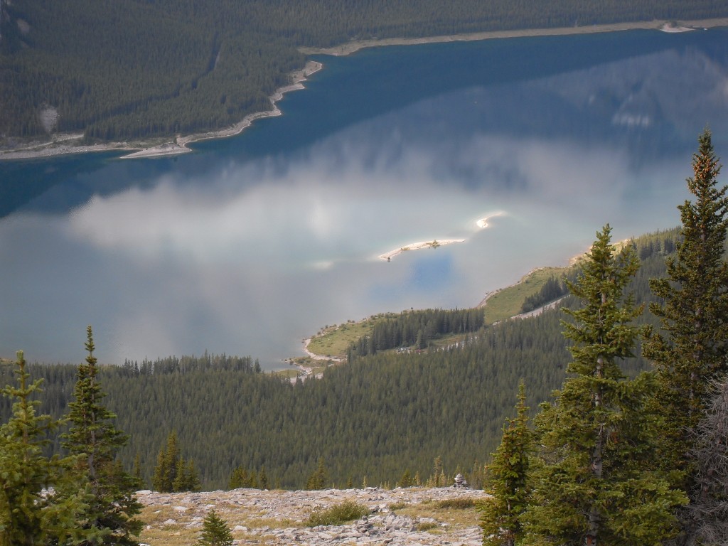
To the east is Pigeon Mountain, a place we’ve summited. Since we are not far into the front ranges, you can catch also glimpses of the prairies in the east. In the west the Spray Lakes extend off in the distance both north and south of us. Our parking spot is somewhere down there by the edge of the lake.
Occasionally a noisy sightseeing helicopter would pass by. I bet on seeing us the passengers must have thought us as crazy. But I think they are the nutty ones – first hand is the only way to appreciate a mountain – flying over seems much too easy.
As we were nearing the summit, we spotted what turned out to be two base jumpers and they disappeared over the edge before we got close. Those guys are nuts! Outside of these fellows, we passed two others on the hike up Windtower proper. We did see lots of people on the West Wind Pass section, which is a fine destination in itself.
What struck me as odd was the number of bugs, especially spiders near the summit. Remember, it was snowy up there, yet there were lots and lots of them running around on the white stuff.
At the top we just sat silently and soaked it all up for while. It’s a spiritual thing, but I can’t explain it. Up there all problems just float away and everything is right in the universe. For a time anyway, then you have to snap-to and head down and that’s a bummer. The trip down was uneventful, if not a bit sad (we hate leaving!).
I’d highly recommend this the hike up Windtower. It’s fun and the drop offs are exhilarating!
To see some other mountains we’ve summited, go hete…
Prairie Mountain.
Pasque Mountain 2.
Turtle Mountain.
If you wish more information on this trail, by all means contact us!
Date of adventure: September 2008
Location: Spray Lakes
Distance: 8km round trip
Height gain from start: 1050m
Height gain cumulative: 1050m
Technical bits: Some loose scree, no biggie.
Notes: It can get really windy on top I am told (it wasn’t for us). If you have vertigo, like I do, the drop offs at the top are pretty intense.
Reference: Kananaskis Trail Guides by the Dafferns. My edition of this book only covers the trail up to the pass.
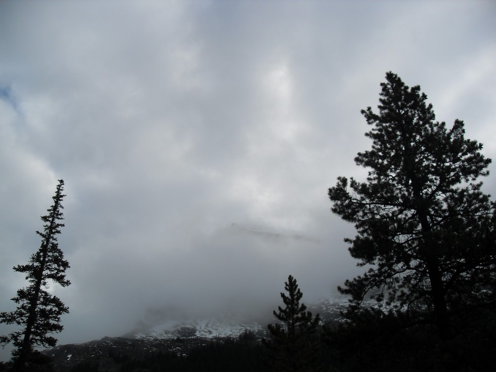
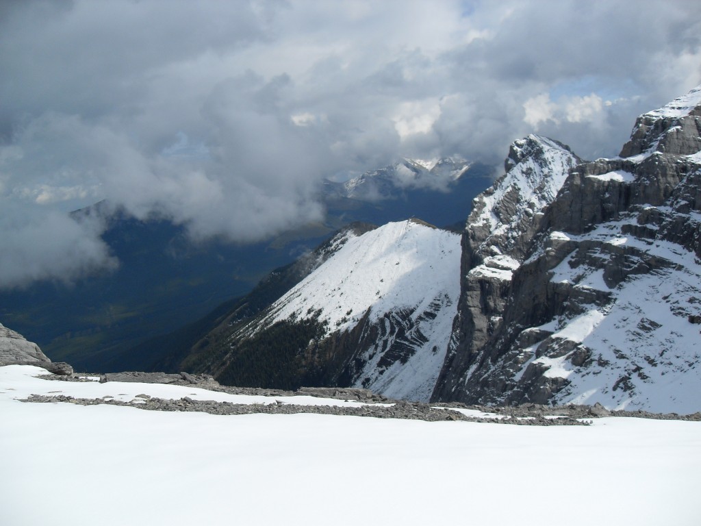
Windtower, our objective, obscured by clouds.
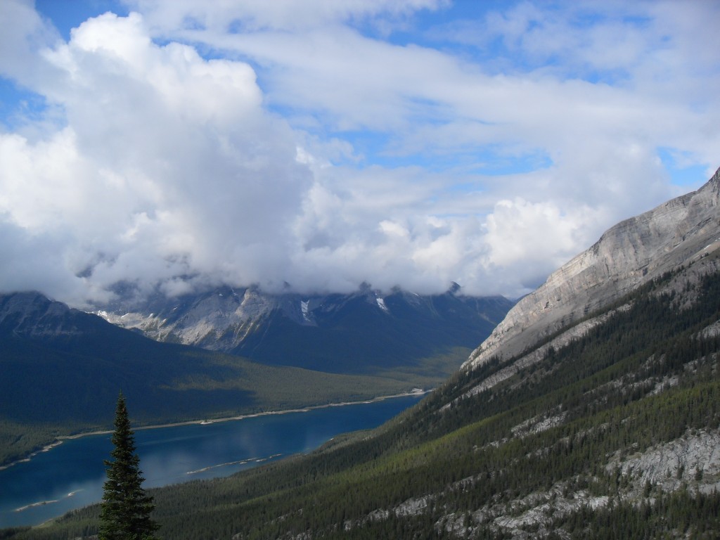
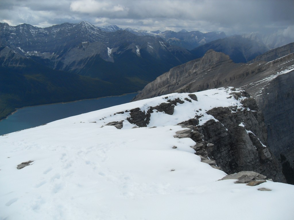
The Spray Lakes below.
From West Wind Pass we traverse the west facing flank.
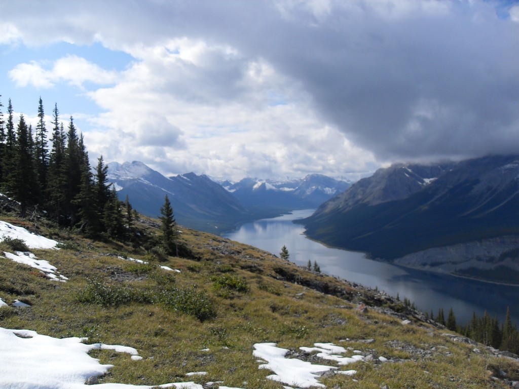
The Spray Lakes looking roughly south.
Our parking spot, way, way down there…
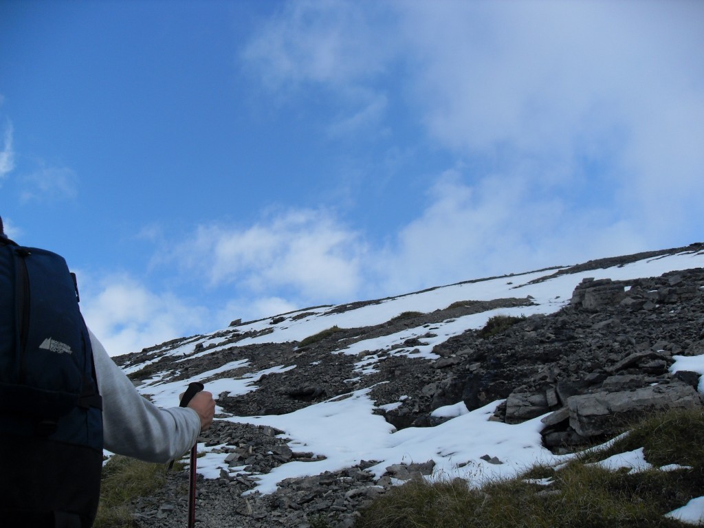
As we head up we encounter snow.
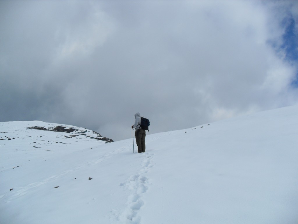
More snow as we get higher. It actually made the going pretty easy.
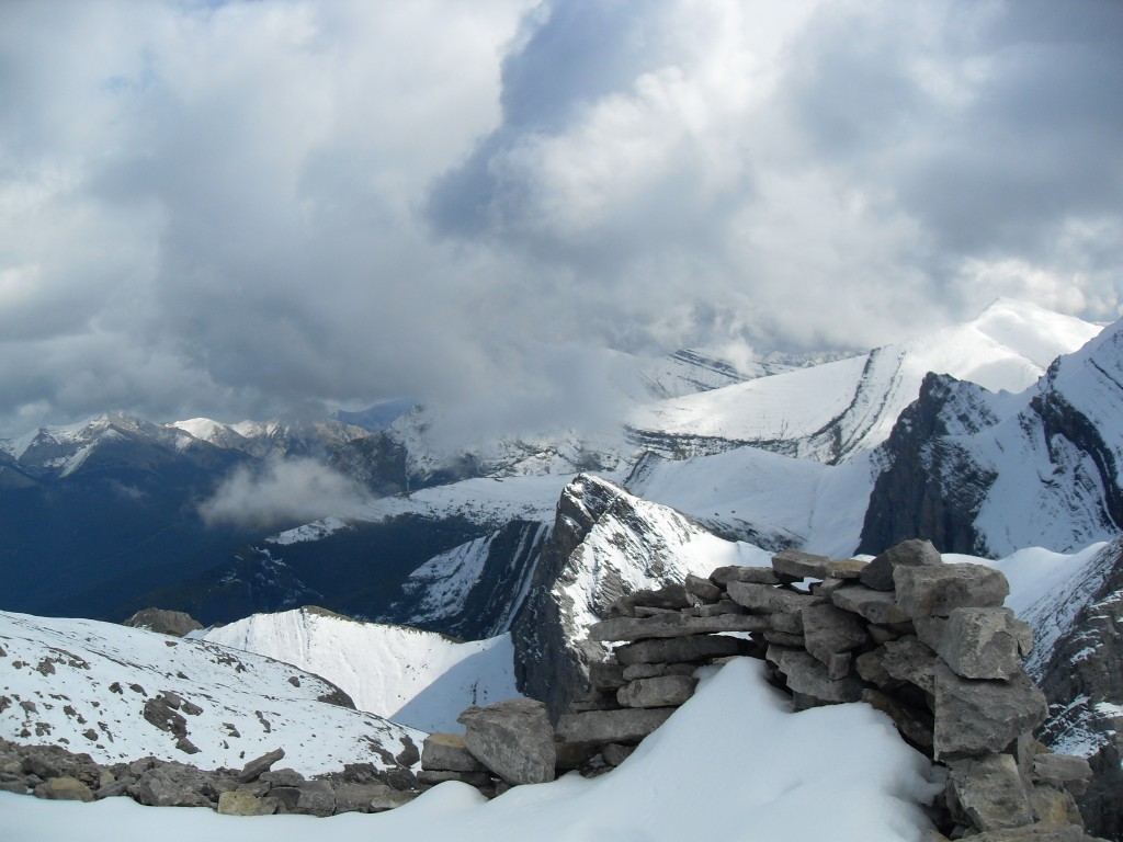
A big drop-off on the east side.
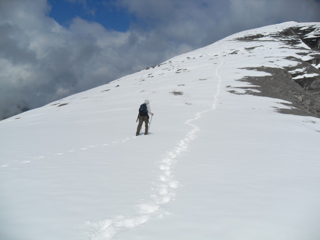
Up we go.
To the left, a huge straight-down drop off.
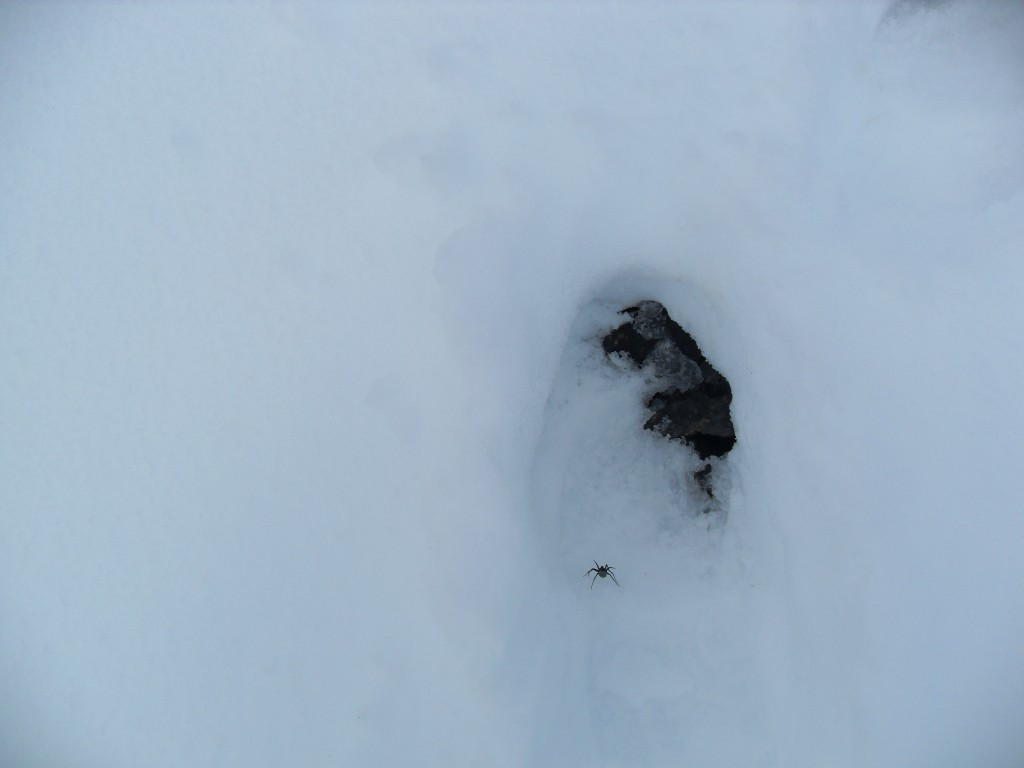
There were lots of spiders and bugs near the top.
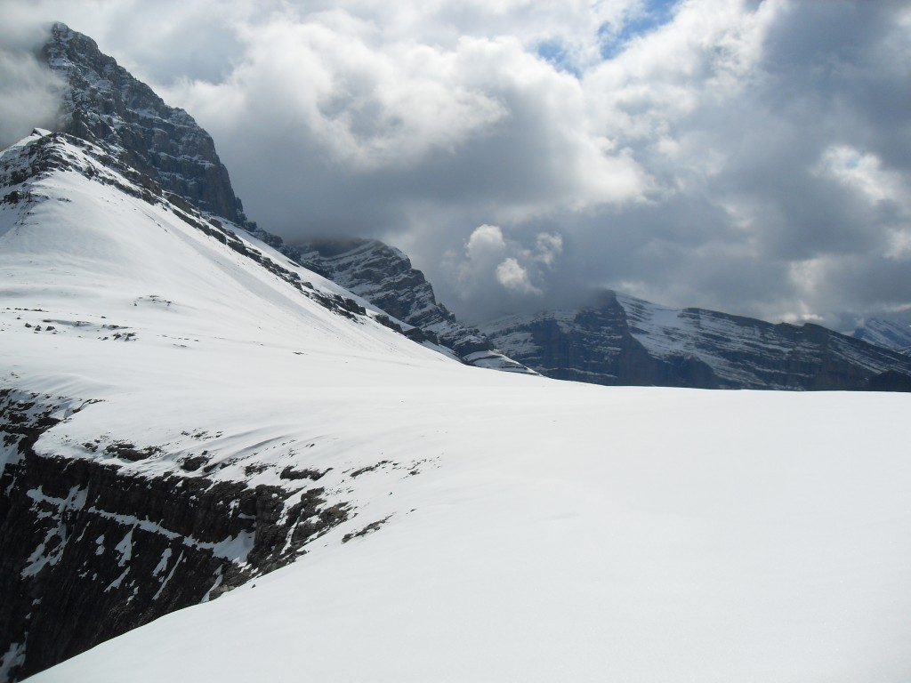
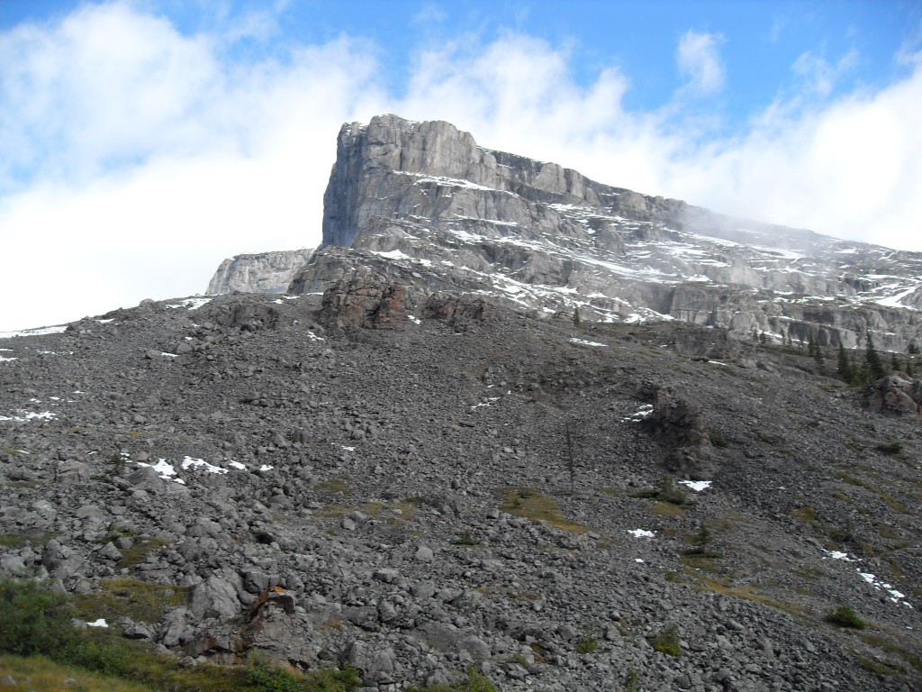
Some surrounding peaks.
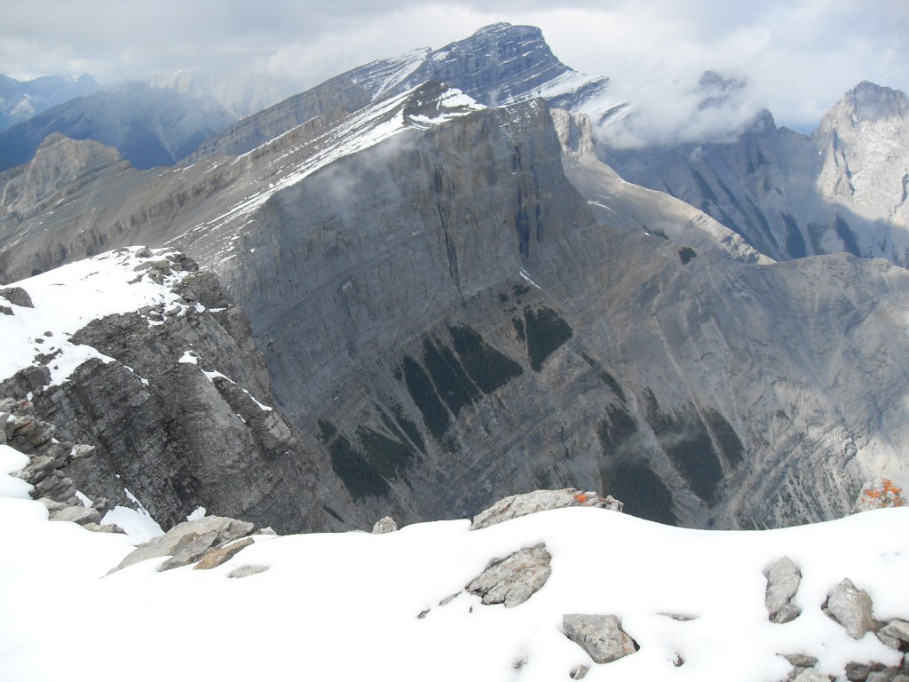
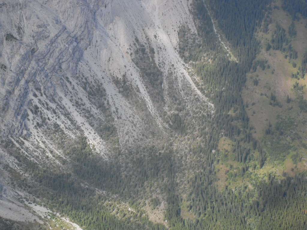
The next mountain to our north, called Rimwall. The drop off you see is much like the one on our mountain, straight down!
Looking roughly northwest.
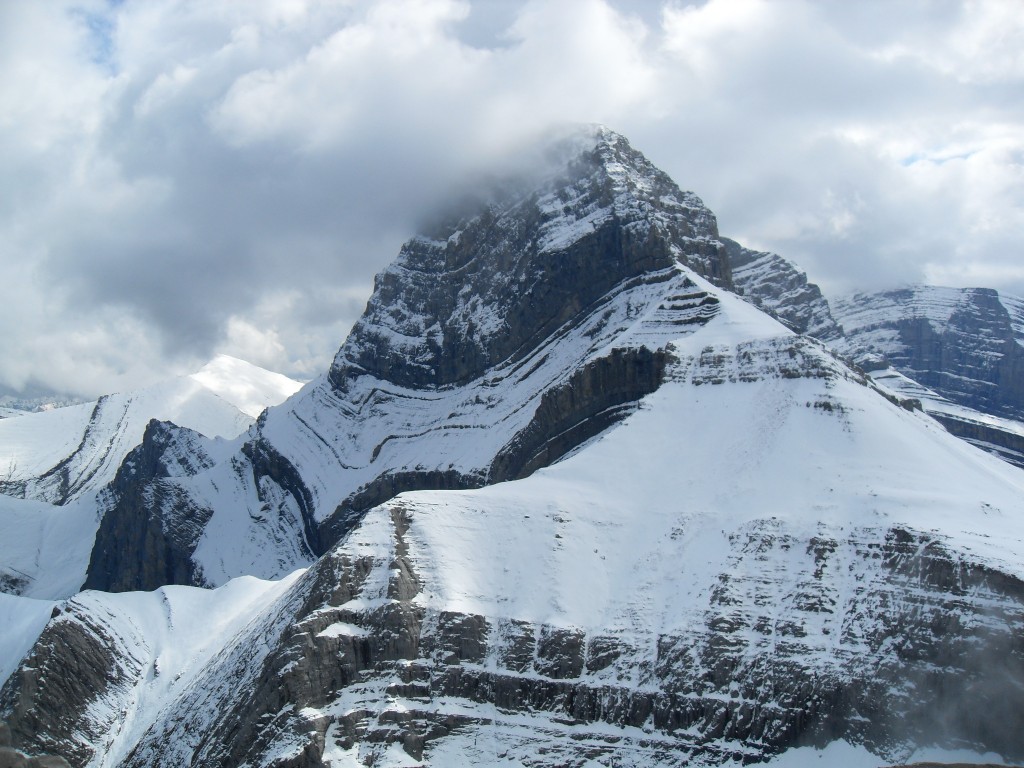
The massive Mt Lougheed.
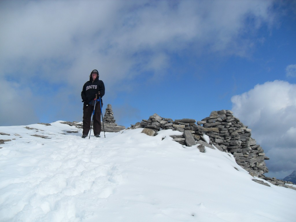
The top. Right behind Connie is a drop of over 1km!
The grassy slopes of Wind Ridge.
Looking straight down from the top.
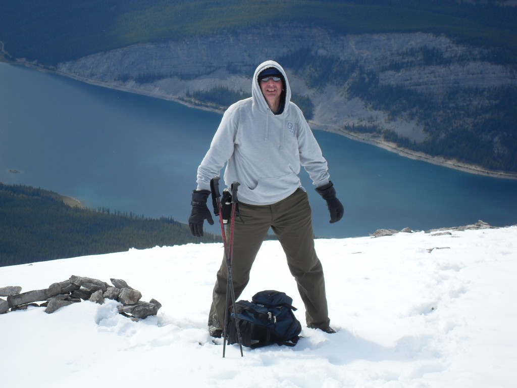
A little nervous on top – I’m scared of heights!
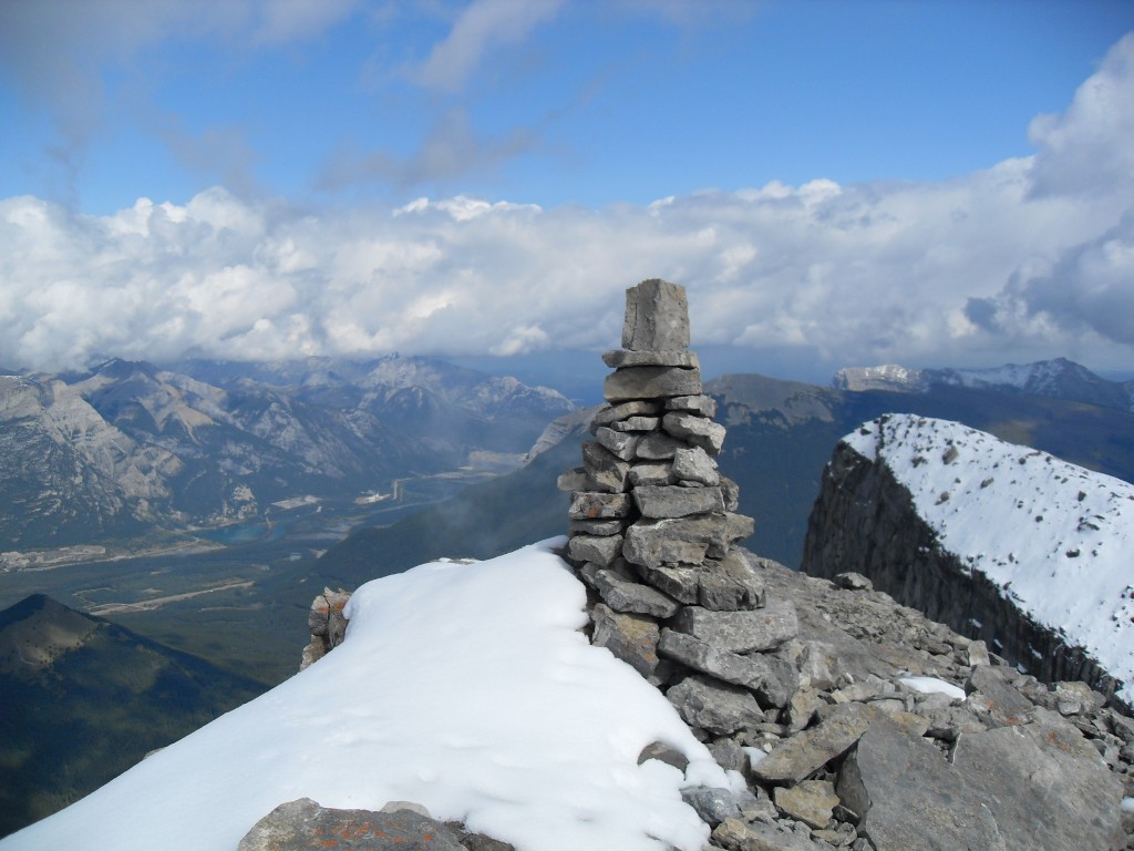
The summit cairn and just behind Pigeon Mountain (another one we’ve done).
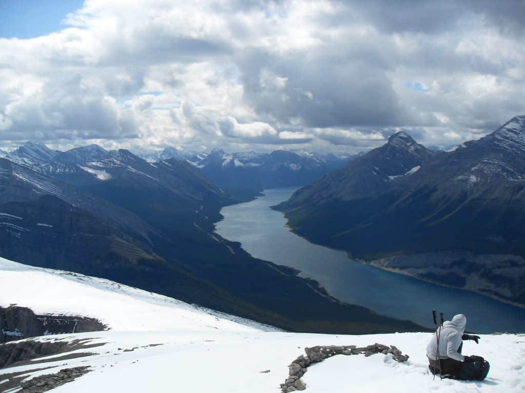
The gentle side we came up and the Spray Lakes beyond.
Mt Lougheed dominates the skyline. Our mountain is a little bump by comparison.
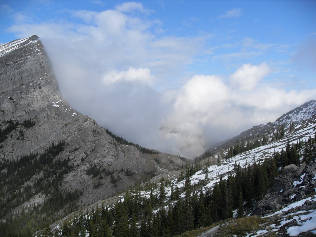
On the way down the clouds clear and we see the summit.


")


I love mountains!
Us too! There’s something so special about being on top of one.
Wow!!!
Such spectacular scenery up there.
WOW!
To quote Simon Cowell, “Words are unnecessary.”
Are you sure the google picture is the same mountain you climbed they look nothing alike.
Yes it’s the same. The highway end is steep and precipitous, but the end we went up is fairly gentle. This mountain, along with many others in the area, has two personalities.
These pictures are incredible!!