
Mount Hoffmann
May is a tough time for us. The weather is nice and in the valleys everything is green and vivid and alive. Up high where we want to go however it’s often still winter and this severely limits our options. Knowing that, but having spring fever, we elect to scout the Sheep River valley to see if anything there is doable at this of the year. This area has many modest sized rolling hills and ridges and these usually come into season before anything else in Kananaskis Country.
I heard from others that Mount Hoffmann is a fun outing, so this will become our summit of choice this day. The trail follows a number of former logging or skid roads to a cut block, then from there it’s a deteriorating single track (or no trail at all) to the summit.
The route starts at the Indian Oils parking lot. After crossing over the spectacular Tiger Jaw falls you initially head east following the Sheep River trail. Here it’s an old logging road, wide and reasonably well drained and while it gains elevation, it’s never steep or tough.
After a time, you come to a small dip in the road where it crosses a brook. Just before that, there is a faint trail on an old skid road, gently zig-zaging up to your right. This is the Mount Hoffmann trail proper.
It’s not well known, but may become busier since it’s newly listed in the latest Kananaskis trail guide. In the meantime though it’s indistinct in places and there is a fair amount of dead fall.
At a bend in the road we pass an old lumber camp site. Here we find some old bed springs, a stove base and other odds and ends discarded by the crews that worked here. Oddly, we often find old beds in the woods.
Continuing on and up, there is an obvious side trail heading northwest that leads to a view point overlooking the Sheep River.
Back on the trail, we come to a cut block where the road splits (take the left branch), and then abruptly ends. Here to your right heading up steeply is the continuation of your trail. It’s hard to see though, being very faint. Its all uphill now up for a spell without a break, then it quickly levels out. And it’s here where the fun starts.
The trail essentially disappears at this point and since we are in dense forest it would be easy to get lost. Only a few bits of easily missed flagging tape here and there guide one along. So we take our time and proceed carefully and mark our way with sticks and rocks (to guide us back) and after what seemed like an eternity, we break out into a meadow just below the summit. We successfully negotiated the bush!
From here it’s a gentle slope to the top. There are some minor cliff bands but these can be easily avoided.
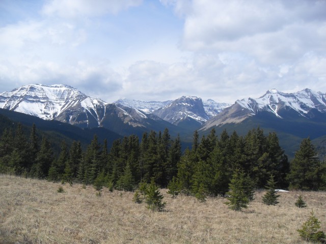
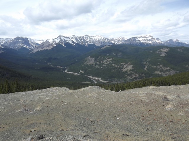
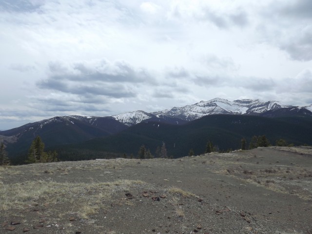
The summit is broad and flat and in sprite of the modest elevation gain, the views are quite good. Peaks that can seen include Burns, Gibraltar and Shunga-la-she to the west, Junction Mountain to the east (with its fire lookout) and Ware Mountain to the north. There are side ridges leading from Mount Hoffmann’s summit and these look to be easily hiked, but we’ll consider them for another day.
I set up our franken-camera time lapse rig (affectionately names Brucie) to capture the clouds passing by. This is a budget minded set up using a hacked thrift store bought Canon camera to capture the shots. The results are nothing great, but it’s a ton of fun.
Reluctantly, after lunch and wine of course, we head back. It was a fun trip!
We did another trip up Mt Hoffmann, but missed the main summit. To see that report, follow this link…
Mt Hoffmann Outlier.
We hiked up the Sheep River Valley and to see those reports, follow this link…
Sheep River to Burns Mine part 1.
To read more about our time lapse rig, click the link below…
Time lapse on a budget.
If you wish more information on this trail, by all means contact us!
Date of adventure: May 2012.
Location: Kananaskis, Sheep River area.
Distance: 9km return.
Height gain from start: 450m.
Height gain cumulative: 450m.
Technical bits: None.
Notes: Trail is indistinct in areas.
Reference: Kananaskis Trail Guides by the Dafferns.
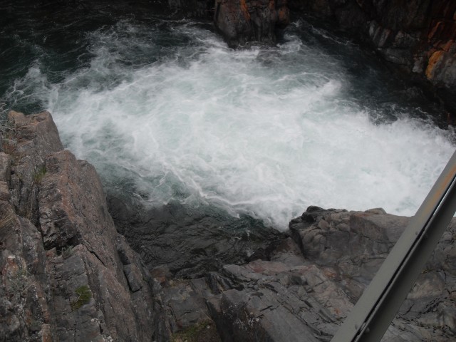
Tiger Jaw Falls at the start of the trail.
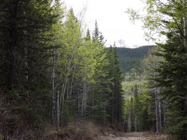
We start out on the Sheep Trail. Here we’re looking back.
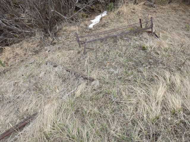
Junk found at the old lumber camp.
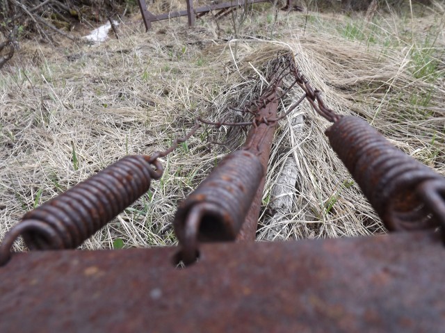
Oddly we often find old beds in the woods.
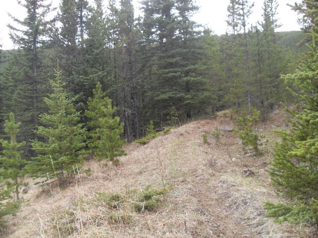
The trail is sometimes faint in places.
Breaking out of the trees just below the summit.
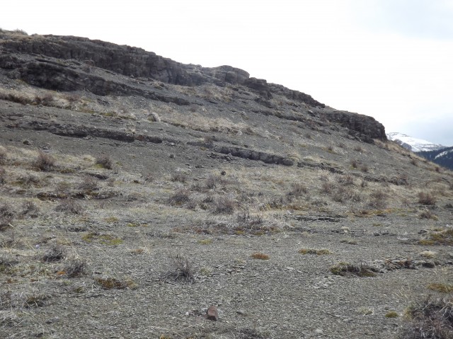
You pass minor cliff bands as you gain elevation.
Looking west up the Sheep River valley.
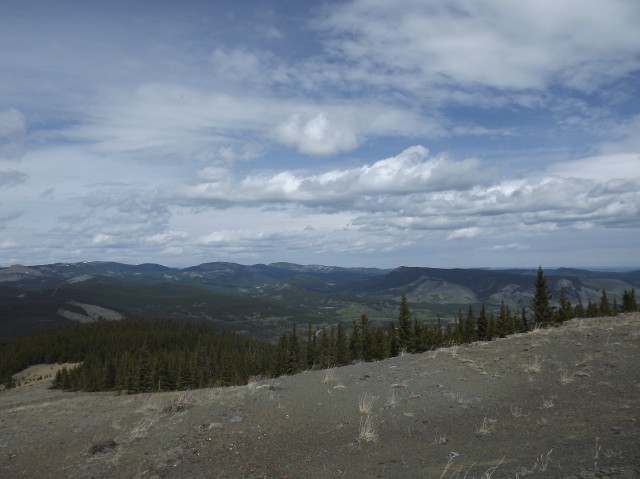
Rolling hills northeast of us.
Junction Mountain to the east.
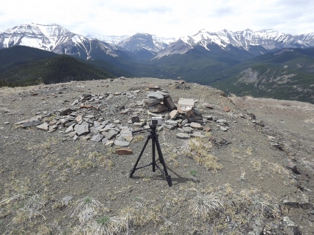
Our franken-camera time lapse rig – see video below.
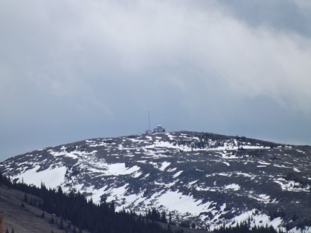
Junction Mountain fire lookout.


Now that the bridge over Tiger Jaw falls is gone (ed. due to flooding in June 2013), to get to the Hoffmann trail you have to wade the Sheep River at the horse crossing upstream. Don’t try it until later in the season when the water is lower. It’s dangerous otherwise.
Yes, the floods really made a mess of things and access to many hiking trails is now severely limited.