
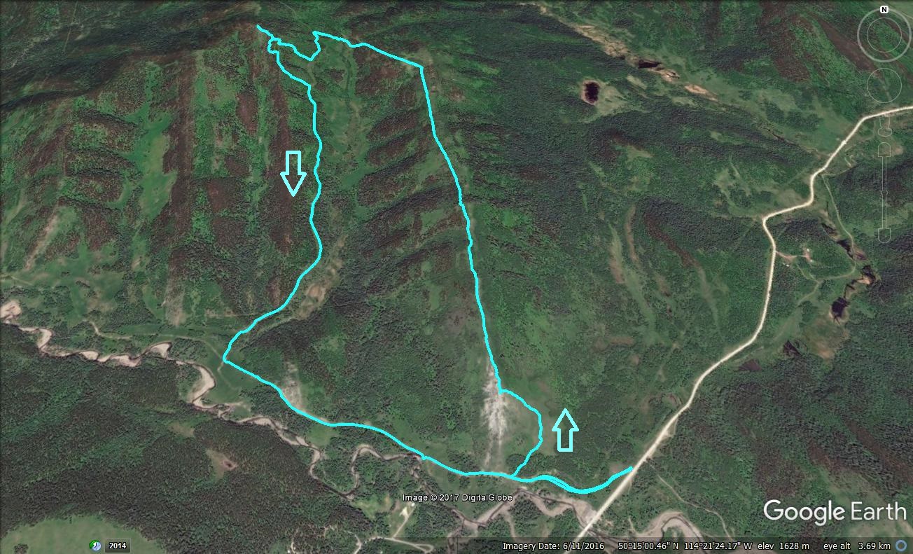
Indian Graves Ridge – Willow Creek Hills
This easy outing takes in two modest-sized lumps of rock and dirt in the southern section of Kananaskis, Indian Graves Ridge and directly west, Willow Creek Hills. It’s a fun, relatively short loop-hike, with some steep pushes, the reward, a good workout and lots of darn nice views to boot. All around is a rolling sea of green with high barren peaks off in the west. While the trek is generally doable at any time of the year, it seems a natural for spring.
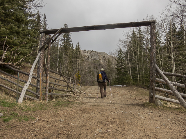
The adventure begins along Highway #532 (gravel), accessible off Highway #22, south of Longview. Park on the north side of the road, about 12km in, just before the bridge over Willow Creek and the entrance to Blue Bronna Youth Camp. Pass through the gate, north side, and get at’er.
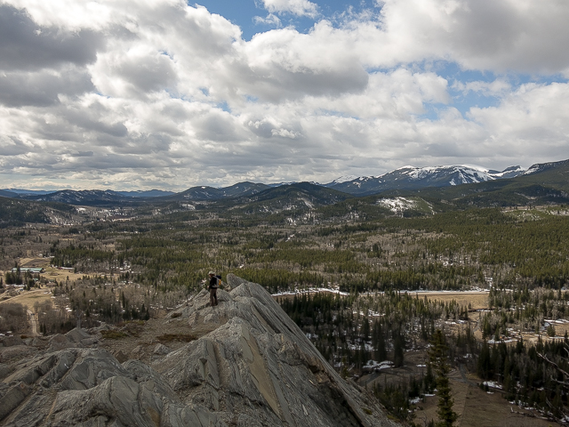
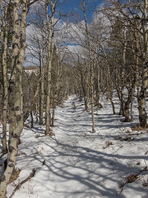
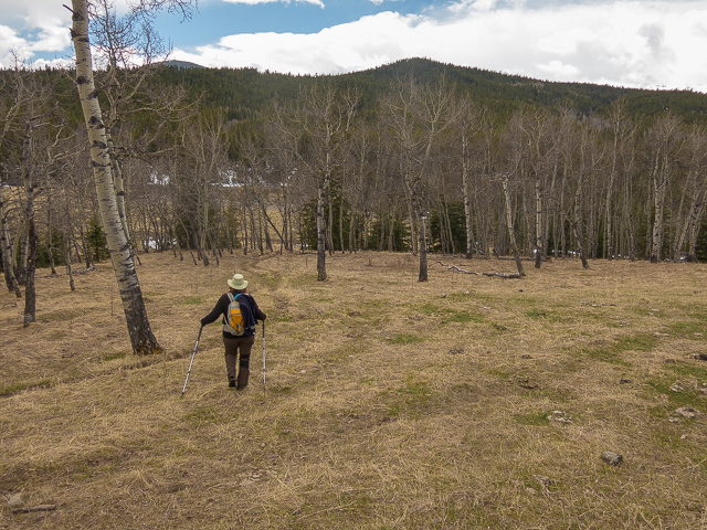
Follow an old road. To your right and rising up sharply is the south end of Indian Graves Ridge. Soon in, take a side trail heading that way and tackle the open slopes head on at any point that suits you. Left is steepest with some scrambling options at the top, right, by the fence, is easiest. Gain elevation quickly. Then it ends…you’re at the top…well the south high point…still more up to go on Indian Graves, but not much and it’s easy.
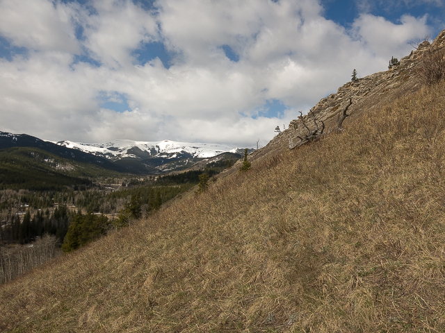
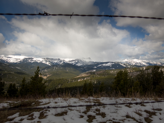
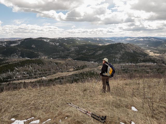
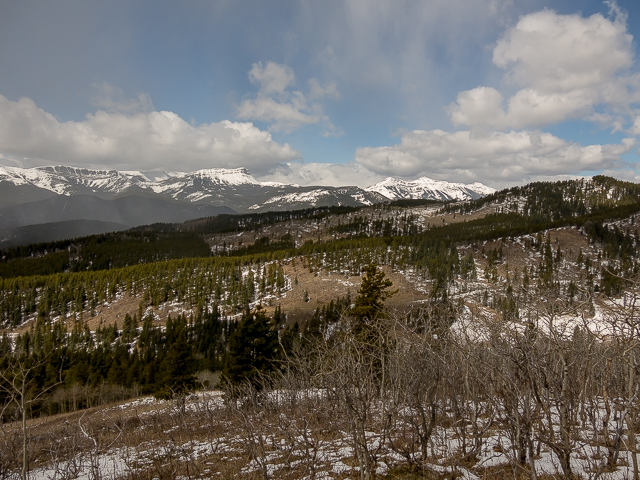
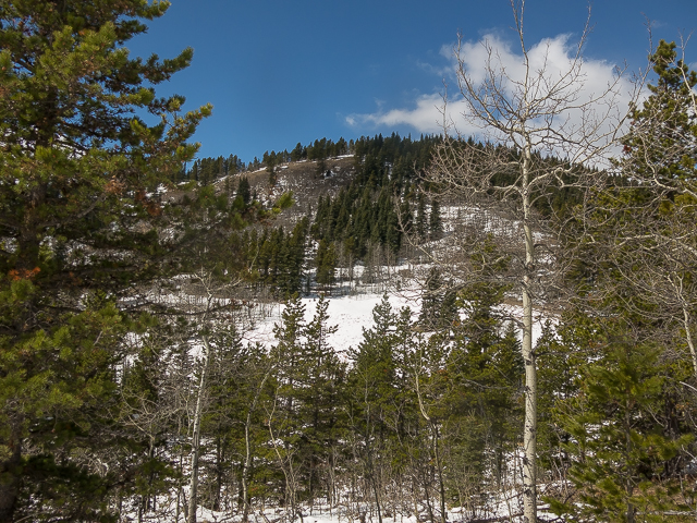
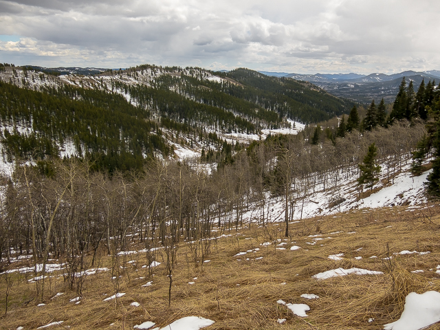
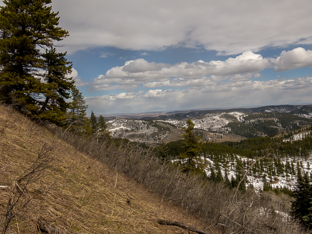
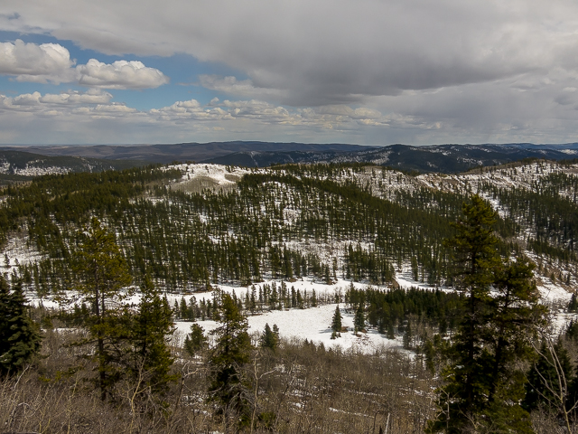
Take a good look around, these are the best views of the day (but it’s hardly anti-climatic). To the west are some big peaks, still in the grips of winter on our visit, including Hailstone Butte, Plateau Mountain, Sentinel Peak and Mount Burke. A couple are on our to-do list. In that general direction but closer in is Willow Creek Hills, that bump you’ll visit later (assuming you follow our lead). To the east and south low hills and long undulating ridges extend off for many clicks.
Down below, to the west, is Willow Creek and across it, Indian Graves Campground. It’s a busy place come summer, I’m told. One lone camping trailer was seen this cool spring day.
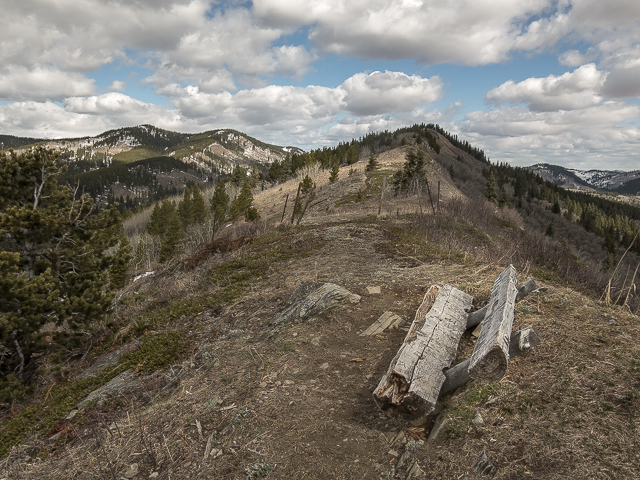
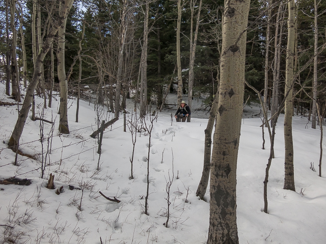
Head north on a developing trail. Rise and dip, rise and dip. Hop and re-hop a barbed-wire fence. Pass a weather-beaten log bench. The summit, partly in the trees, is soon reached. The trail follows the fence line as it drops down gently. I suppose you could keep to the ridge, but it’s mostly well forested by this point, and on our visit there was still lots of deep snow up there. There was some near the fence line too, but far less of it. Well, one waist deep section. Anyway, pick one way or the other.
At a meadow, drop down into low lying boggy area (mostly frozen, so zero problem, on our visit) then head up towards an old road. We found a nice spot for lunch along with section. Good company, good food, fine wine, conversation, then some time just laying back looking up at the trees and sky, all our own problems and those of the world, washed away for a brief moment. Losing one’s self… priceless.
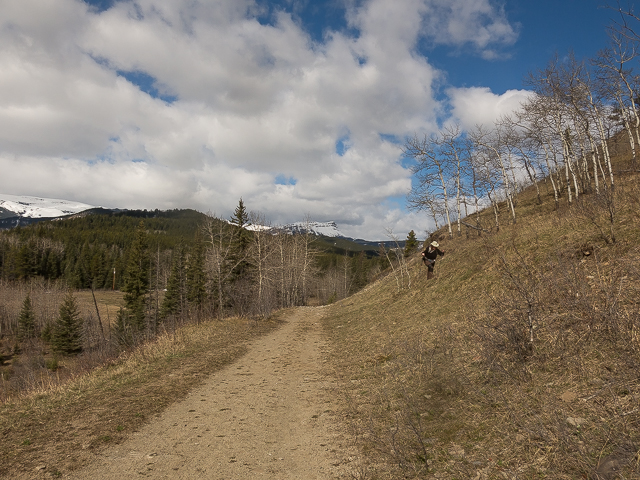
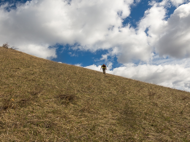
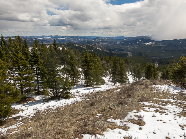
Hit the road (once the access route for a gas well). Our plan was to follow it further north then hit up Willow Creek Hills from their backside, which looked the easiest. Deep snow had us rethinking the plan however. Instead we headed south and on hitting some fairly open slopes, tackled it that way. Look over your shoulder at the long and low mass of Indian Graves Ridge.
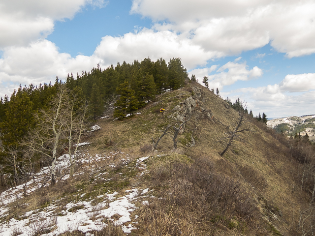
Once on the ridge head right to find the high point. It’s in the trees, there, somewhere. There’s some flagging to mark the point.
There are actually three summits to Willow Creek Hills, all what look to be about the same height, or roughly so, and reachable by a series of short interconnected ridges. Lot of trees hiding deep snow prevented us from visiting the others. Oh well, for another time.
Heading down. Our plan was follow the east ridge of Willow Creek Hills as it dropped to a point where it intercepted that road, which it parallels, some clicks away. More deep snow, and worse, snow covered ice made that option a wash. At the first open-ish slope, a damn steep one as it turned out, we bailed. Oh well, for another time…wait, I just said that.
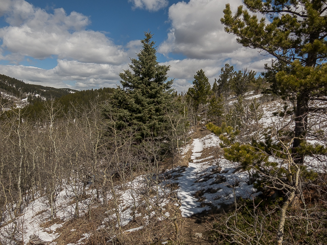
Back on the road, continue south. The going is easy, although there’s some boggy sections here and there. We encountered some ankle to knee deep snow, in shaded areas. This is Alberta in April you know.
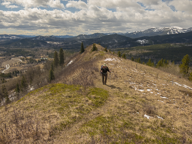
Look up and east to Indian Graves Ridge. I think we saw some other hikers up there. Seems it’s a popular outing by itself…our loop, perhaps not so much. Our footie-prints were the only fresh ones seen once we hit the Willow Creek Hills side of the valley. Trend west, dropping down to Willow Creek proper.
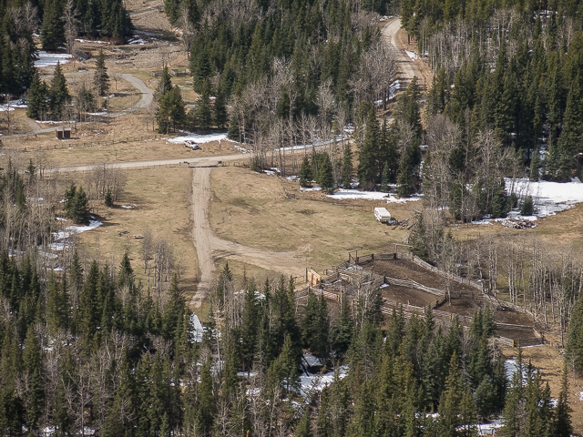
At a broad flat meadow, turn left on another old road. Pass some corrals, flood damage, downed logs and chewed up land and finally pass through a gate. The rocky west-facing aspect of Indian Graves Ridge now comes into view. Rise and dip a couples times and you’re soon back at your ride.
In summer expect to find free range cattle wandering about the area – we saw signs that some even reached the summit of these hills (poop and hoof prints). Ambitious moo-moos! Expect to also see equestrian riders, some coming in from the Blue Bronna camp spoken of earlier. Quads and motorcycles, their noisy domain on the south side of Highway #532 where you parked, sometimes sneak into the area, perhaps unknowingly. Mostly they stay on their side.
What’s in the name Indian Graves? Despite an exhaustive two to two and a half minute search, no explanation could be found. Of course, it speaks of First Nation’s involvement in the area, but it seems there’s no specifics. Anyone?
Pleasant hikes taking in low ridges and hills…
Ole Buck Mountain.
Death Valley – Pine Ridge.
Return to Eagle Hill.
If you wish more information about this trail, by all means contact us!
Date of adventure: April, 2017.
Location: Indian Graves Area, Kananaskis, AB.
Distance: 9km loop.
Height gain maximum: 320m-ish.
Height gain cumulative: 400m-ish.
NOTE: all distances and heights are approximate.
Reference: Kananaskis Trail Guide by Gillean Daffern.
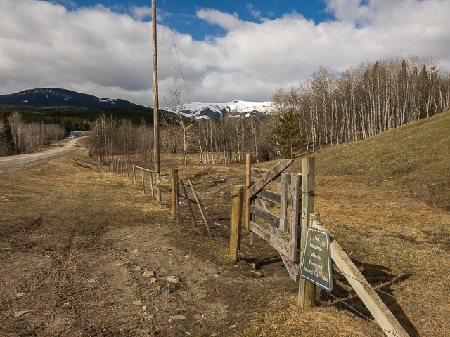
This gate, the start of the adventure.
We start climbing Indian Graves Ridge.
Up steep slopes.
Looking west, it’s still winter up that way.
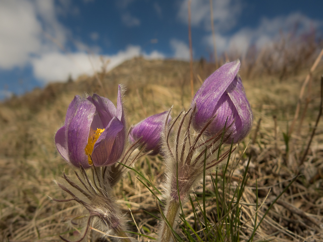
Prairie Crocus, a sure sign of spring.
Low rolling hills in the east.
Close to gaining the ridge here.
On top…
The south end is rocky and open.
Below, Indian Graves Campground.
Ahead, the summit of Indian Graves Ridge – left, Willow Creek Hills.
The going is easy, with scenic views.
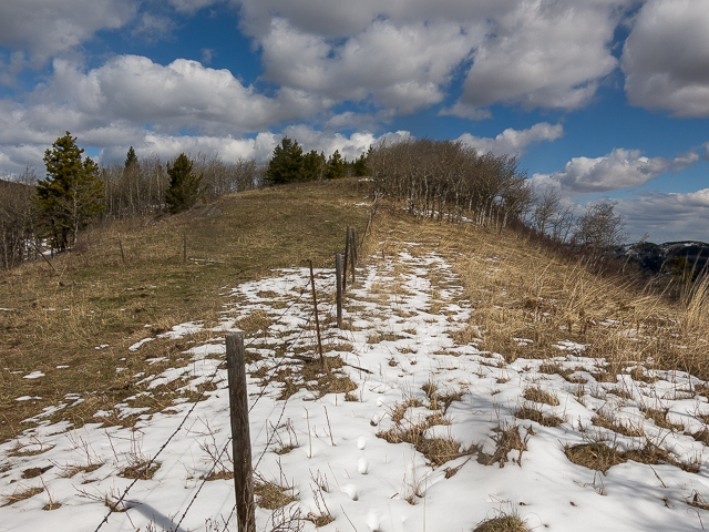
This fence will have to be crossed a couple times.
Arriving at the top…
Bigger peaks to the west.
Taking it in…
A section with waist deep snow.
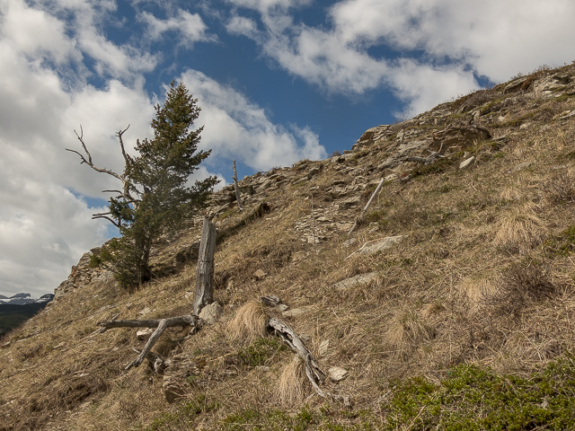
The old well road can be seen below.
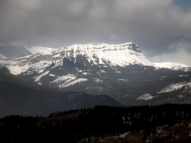
Sentinel Peak.
Dropping down.
Snow on lower slopes.
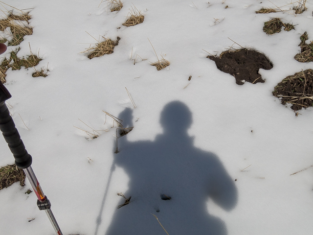
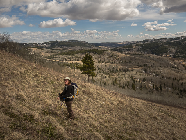
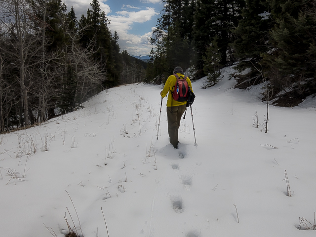
Your author…
Dropping down further.
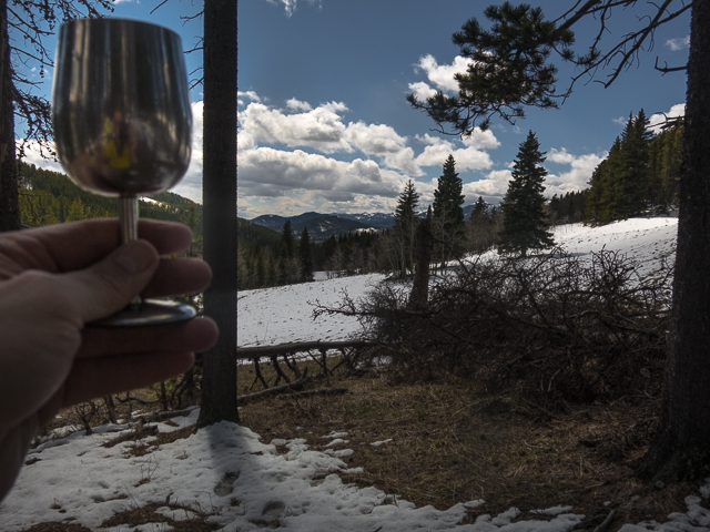
A toast!
Kicking back, our view.
This road will be followed for a time.
Indian Graves Ridge in back.
Up Willow Creek Hills, looking north.
The last look east before plunging into the trees for a time.
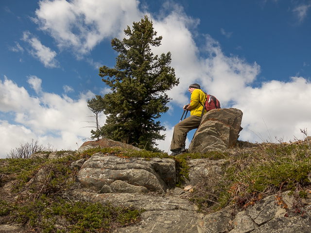
Willow Creek Hills summit, views are only to the south.
A steep drop down.
Back on the road – a boggy section.
We’ll soon meet up with Willow Creek not far below.
A cattle gate and in back, the south end of Indian Graves Ridge.
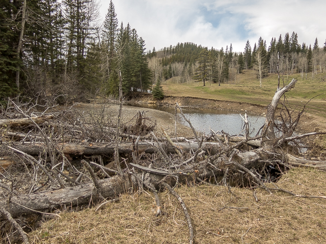
Some large trees brought down by the creek.
Indian Graves Ridge – Willow Creek Hills, 9km of pure fun.


Good pics. I want to say thanks for sharing. It sure look good to hike.
You are most welcome. It’s a nice outing. Drop by often and comment when you can.
More great pics !
Thanks, nothing beats hoofin’ it in the hills. Thanks for commenting!
(via Facebook)
Complete with a recumbent bench for very weary hikers…
Put you feet up and relax!