
Deer Ridge
A hill, not terribly tall but still well worth visiting, welcome to Deer Ridge, Sibbald Area Kananaskis, home to a nice little loop hike that’s both easy and scenic. This short route travels through varied terrain. There’s dark brooding spruce woods with carpets of moss, less dense stands of pine, rocky viewpoints, and valleys bottoms of grass with bogs and ponds, flanked by aspen groves. It’s a nice mix. An old native site adds to the interest.
Park at the Sibbald Lake day use area off Highway #68. Backtrack down the road and hit a large meadow taking the trail heading off to the west paralleling a little stream. Soon on come to a junction – take the track to the left and cross a small footbridge.
Take a quick side diversion to the “Sundance Lodge” not far to your left. It’s made of boughs and branches and decorated with colourful banners. Used in First Nation’s ceremonies (in celebration of creation), it dates from the 1980s and has been left to decay naturally.
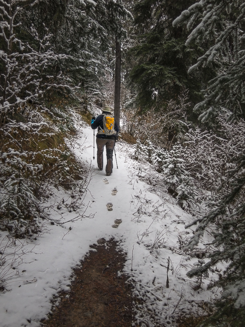
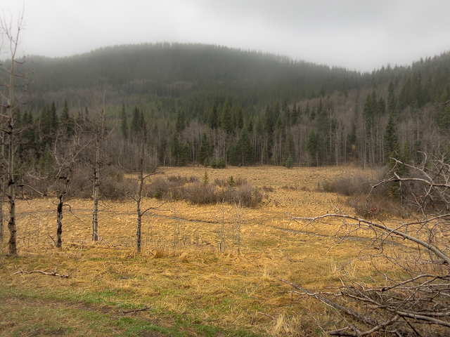
Back on the trail, take in Moose Pond to your right. We saw lots of tracks from its namesake animal in the mudflats here. Plunge into the deep dark woods, where things get a bit mucky. Gaining elevation come to a junction, a horse trail coming in from the south. Turn right and start climbing more steadily. Zig and zag occasionally, always in the trees. The views will come later.
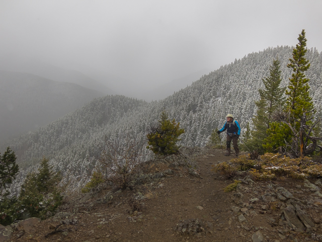
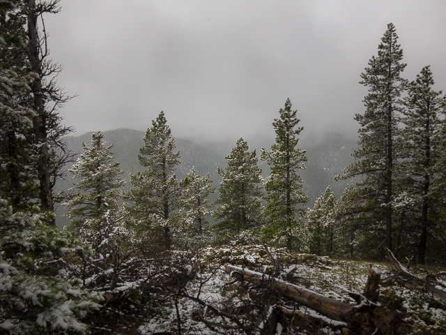
At the top of a hump, the forest parting briefly, the east summit of Deer Ridge comes into view. It was partly obscured on our visit…we had to come when it was cloudy! In a few minutes, at a horse hitching post, come to spur trail that takes to one to the top. It’s a short huff and puff to a rocky summit of sorts overlooking Sibbald Creek. We could almost see it down there! Damn weather…
On our last visit there used to be a “Weaver Mountain” sign (an alternate name for the ridge) tacked to an old dead tree up here. Both it seems are now gone.
Normally one has nice views from this “lofty” summit, albeit mostly to the south. Look for fire lookout-topped Moose Mountain and in front the treed mass of Cox Hill. Missed them this day – all we saw was swirling snow and fog and mist and little else. Just off to the west, the main summit of Deer Ridge can be seen. It’s a wee bit taller than the bump you’re presently on, but is more densely forested, so there’s not much to see from it.
Back on the trail, go up and over the true summit, come to a cut line – leftovers from oil and gas exploration from decades ago – and turn right. We hit some deep snow here. And ice! Drop down, sometimes at a sharp angle – these cut lines are almost always arrow straight and follow the lay of the land, no matter how difficult or steep. In short order hit the valley bottom. The snow stopped falling here and turned to a fine mist.
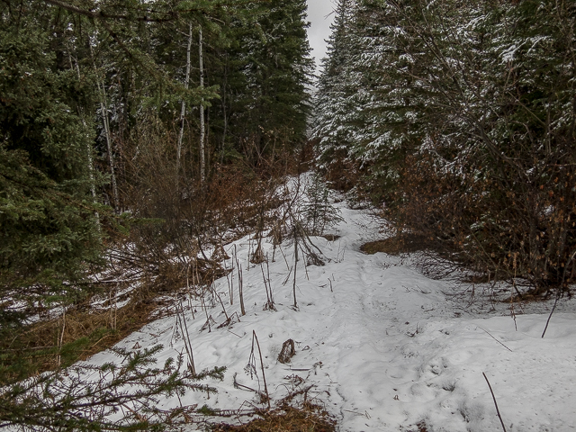
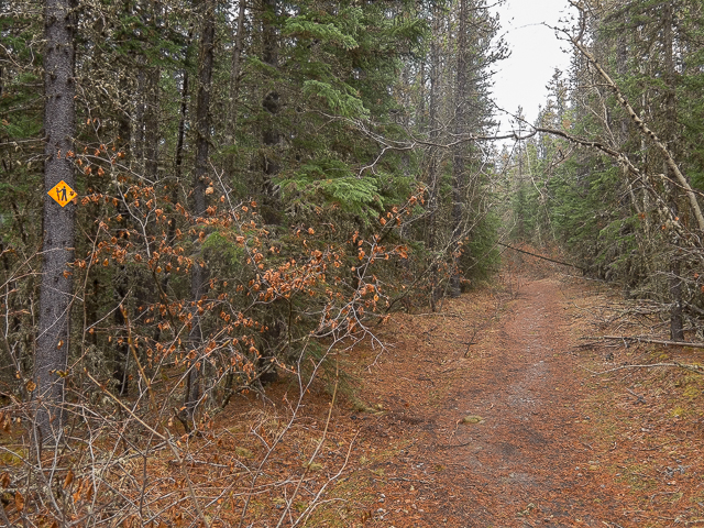
The return trip takes in a section of the Eagle Hill Trail (see: Return to Eagle Hill. Trend west to circle around a bog before hitting a junction. Turn east (right). The trail here flanks the bottom of a small hill, the swampy area to the right part of the same Moose Pond seen earlier. Look south and see the backside of Deer Ridge. It’s all trees from this angle.
Come to another junction. Right will get you home, but we choose to go left. This alternate trail goes up and the butt of a small hill. Comprised of cut lines and old exploration roads, it soon dips down to Sibbald Lake, or rather very near it. Go down the to the shore to watch the birds or perhaps anglers. The water level seemed oddly low this visit.
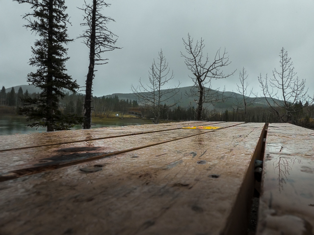
Towering over this. ahem, “huge” expanse of water (calling it a pond seems more fitting) is Ole Buck Mountain. We were up it earlier this year, encountering the same view-ruining weather we had this day. Oh well, a hill’s a hill, and well worth the hike even when mother nature doesn’t cooperate.
There’s nothing stopping you from doing the route described in a counter-clockwise direction. Mix it up!
Randomness…
When we started this website (as we say… it’s NOT A BLOG – haha) some four years ago…wow how times flies… it was far more hiking-centric (is that even a word?) than now. Today, other things get in the way – our trademark hardcore history projects for example – and we don’t get out to the hills as often as we like. Still we love sharing these adventures with you, even if they’re now overshadowed by other things we do.
Fine hikes in the foothills…
Indian Grave Ridge – Willow Creek Hills.
Hell’s Ridge.
Missinglink Mountain.
If you wish more information about this trail, by all means contact us!
Date of adventure: May, 2017.
Location: Sibbald Area, Kananaskis, AB.
Distance: 7km loop.
Height gain maximum: 260m-ish.
Height gain cumulative: 340m-ish.
NOTE: all distances and heights are approximate.
Reference: Kananaskis Trail Guide by Gillean Daffern.
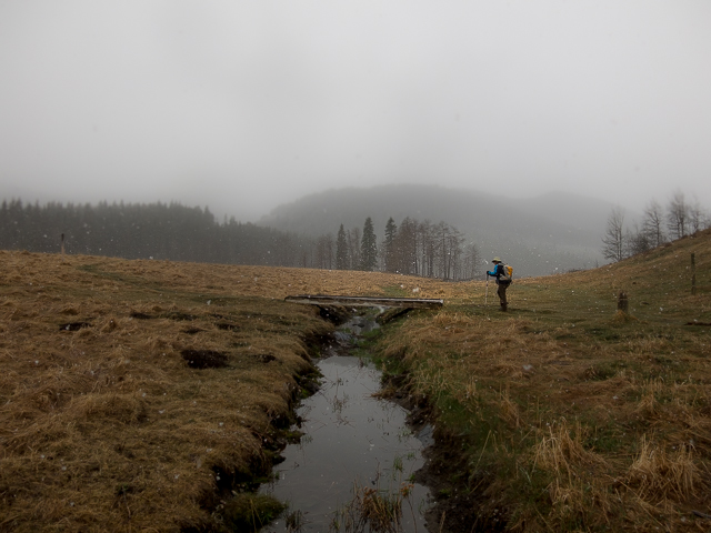
Starting out for Deer Ridge in back.
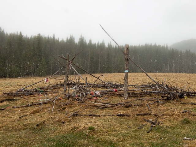
Passing the “Sundance” Lodge.
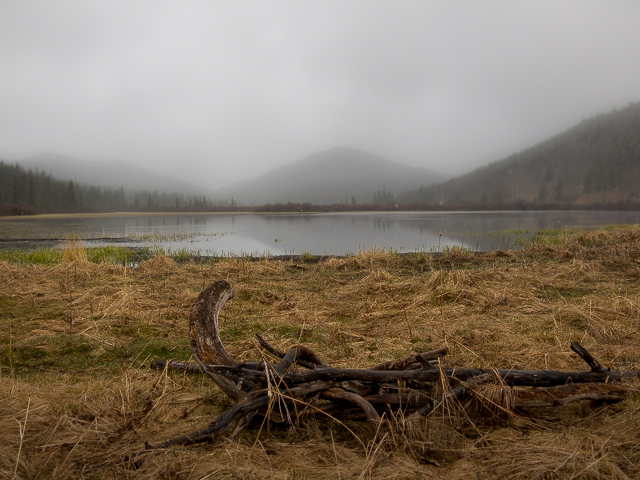
Moose Pond in the mist.
Down low, Spruce and muck.
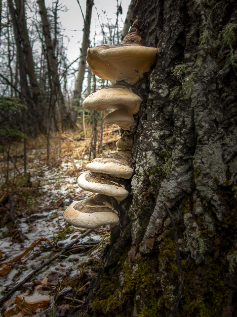
Obligatory fungus on tree shot!
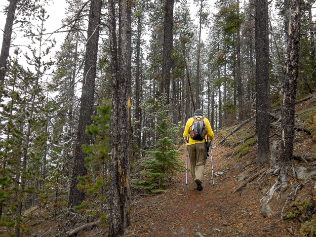
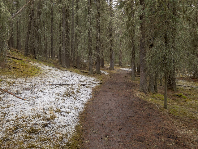
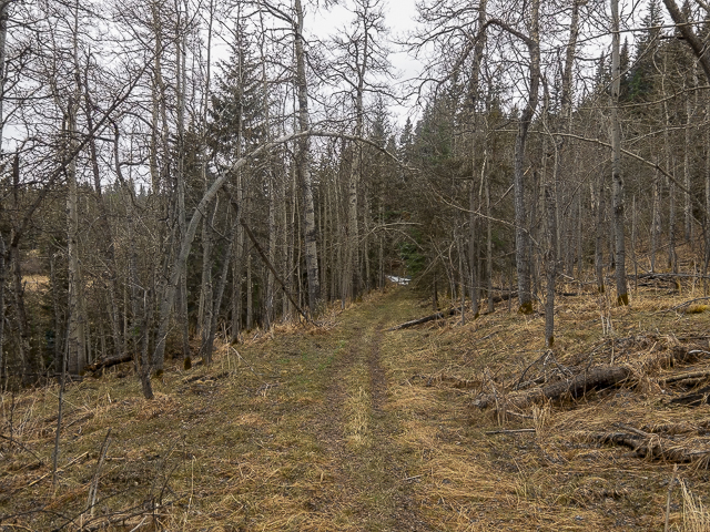
Gaining elevation in the Pines.
A pleasant stroll through the woods.
The east summit comes into view.
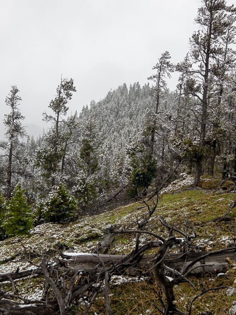
More snow as we gain elevation.
True summit in back.
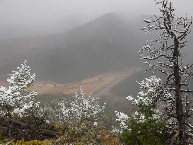
Looking down – little to see account the bad conditions.
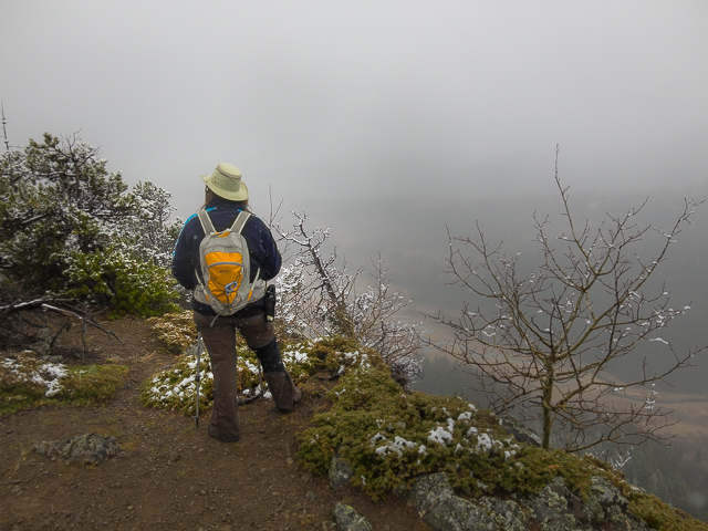
Even with the views spoiled, it’s still a wonderful place.
From the highest point – it’s mostly treed.
Dropping down a cut line – it’s much steeper than it looks.
Lost something?
Hitting the valley bottom.
The backside of Deer Ridge.

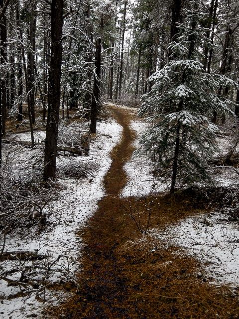
On the “Eagle Hill” Trail.
The going is easy.
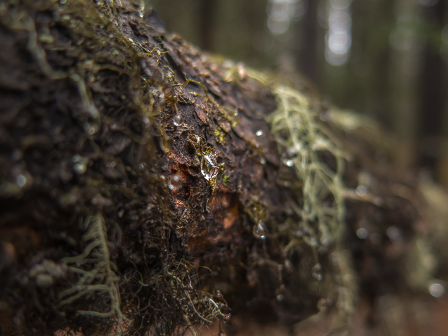
Macro shot – now back to the hike…
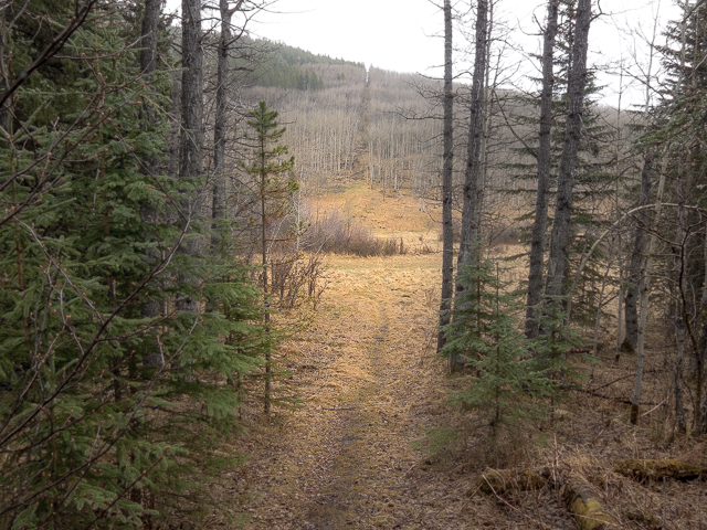
The final couple hundred metres.
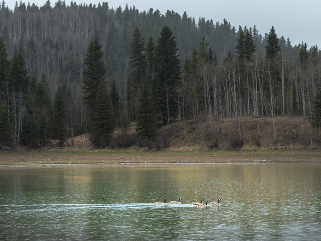
Geese enjoying a swim on Sibbald Lake.
In back, Ole Buck Mountain.
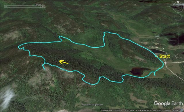
The route…


Thank you for all your excellent write ups. We probably wouldn’t consider some of these fine destinations without your inspiring words. So we settled on doing this trail yesterday- less driving to and traffic to consider, official trail (less overgrown and chance of picking up ticks on our dogs) and no snow or post holing (too hard on sensitive old knees!). Fabulous views and blue skies.
You are most welcome. Deer Ridge is a nice little trail and we’re glad you felt the same. You can’t beat a day in the outdoors and sounds like you had fun. Please, drop by often.
Fabulous…love this hike.
It’s a nice easy one. Thanks for commenting!
Looks like a nice hike!
It’s a nice one. Short and not a lot of work but with nice varied scenery. A ton of fun!
Looks like a great family friendly trek. Might have to introduce the parents to this one. Thanks for sharing!
Happy to. Enjoy your hike!