
Death’s Head
It’s an easy hike, not long and requiring only minimal effort, with a fair reward, a fine view at the end. This is Death’s Head, a low wooded ridge in the foothills of Kananaskis, Ware Creek area. By itself it’s not a destination – alone it’s just not worth the drive. But say you’ve been hiking in the area already, and find yourself with time and energy to spare and wanting a bit more, as happened to us, then it’s a fine choice. It only takes a hour or two to complete, if you doddle, the trail up always at a gentle grade.
The name game…it’s get’s confusing here, so let’s get that right out of the way. Death’s Head is an old title, circa 1890s, and an unofficial one at that, perhaps in reference to some sandstone outcroppings on its flanks that might look skull like. I guess (limited data). Recently it was given an official name, Mesa Butte. But wait, isn’t there already a Mesa Butte somewhere in the area?
Yup, a bit to the northwest and a place Team BIGDoer has been up before, there’s another. An earlier one. It’s been using the Mesa name (sometimes has hill sometimes as butte, either way unofficially as I recall) for some time until it was decided Death’s Head should have it instead, officially. In that the old Mesa Butte became Square Butte. Officially. My brain hurts.
So, in summary, Death’s Head is now Mesa Butte and Mesa Butte is now Square Butte. Interestingly however, the old names for each have stuck, so all this blah-blah is moot anyway. By the way, the two are within sight of each other.
Enough…let’s hike.
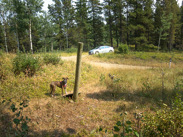
The start of the trail is at a pull off, east side, room for maybe two cars, about four clicks south of Hwy #546 on the Ware Creek Road (gravel and steep in places). If you start going downhill at an extreme angle, you’ve gone too far. The road, by the way, almost goes up and over Death’s Head, so by bailing at this high point, the trail head, means getting to the summit is a pure cake walk. If you started from the very bottom, you’d do a fair bit more elevation.
From the pull off – across the road is a wood post and at it’s base is a fallen sign warning motorized vehicles to keep out. Here’s your start.
First thing, which way to go? The route described in the K-Country hiking books (Gillean Daffern) says immediately bend right and go up at a gentle grade. As it turns out that way is overgrown with Alders. Still we committed to it, not knowing there was an easier path, which we ended up following on the descent. Suggest you use the latter exclusively.
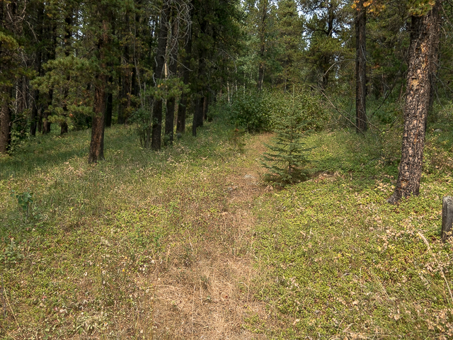
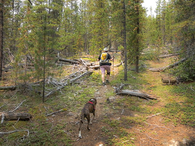
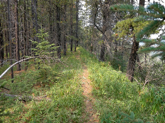
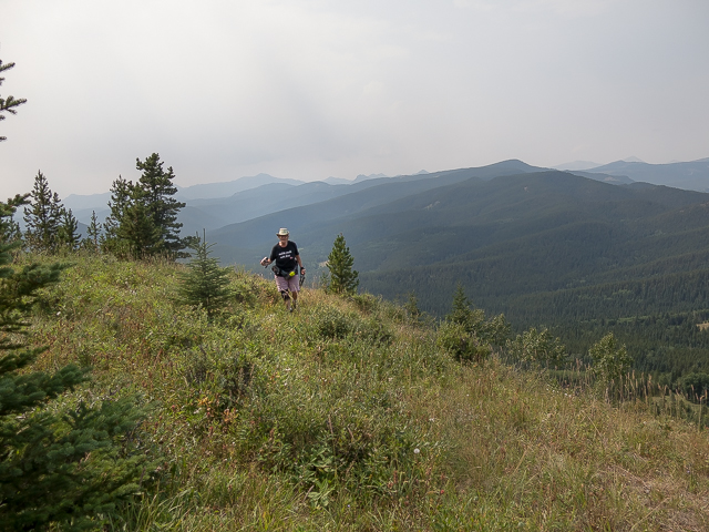
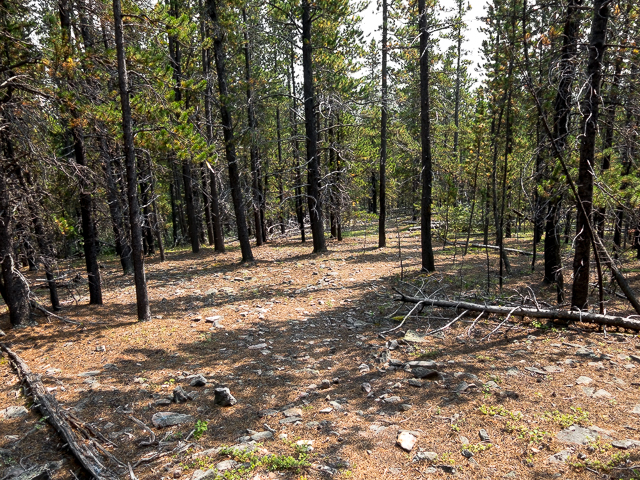
So, ignore the guide book and take the one trail that heads west, neither heading up nor down but flanking the wooded hillside. It’s the one. At first the path is a bit faint but after it turns right and starts climbing (very moderate grade), it become more pronounced. From here on the up is fairly constant but always easy, all the way to the summit – just steep enough so you know it, but hardly a serious workout. Most of the time the trail is in the woods.
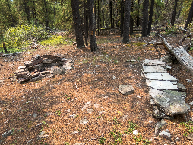
A cut line is passed and soon on a small clearing with a stone fire pit and stone benches. After a while things start to open up more, occasional meadows or thinning of trees allowing one a look at hills to the east. Soon on the summit is reached. But it’s in the trees – there’s a pattern here. Continue on passing a tee-pee shaped shelter of sorts and in no time break out onto a grassy slope.
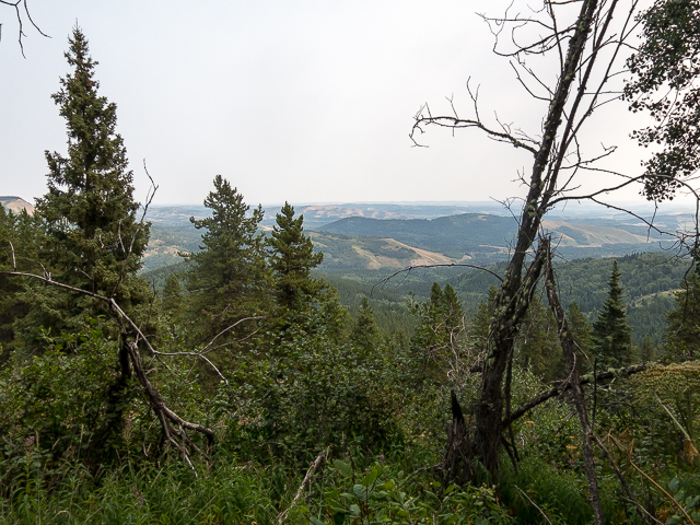
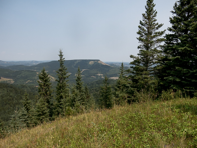
Here’s the reward, an easy one too, some darn nice views, albeit mostly to the north and west. There’s Mesa Butte – the other, the original, with a grassy south face, over there. Mt Barwell is right to the north. Lots of rolling hills, ridges, bumps, wave after wave of green, with lots of deep gorges separating them, all about.
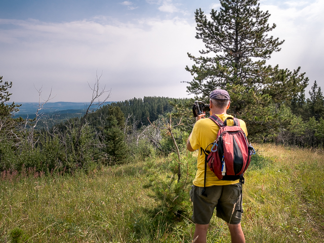
Allsmoke Mountain to the west, a bigger bump than most, is partially obscured on the day of our visit by smoke from forest fires. How oddly interesting. We spend this very morning doing some scouting on it’s sides – to return another day to hit up the summit. Much bigger peaks to the west and northwest, giant barren hunks of towering grey rock, can’t be seen due to the haze. Cough, cough! It got bad. Still, we enjoyed the sights even if views weren’t as far-reaching as they might have been on a clear day.
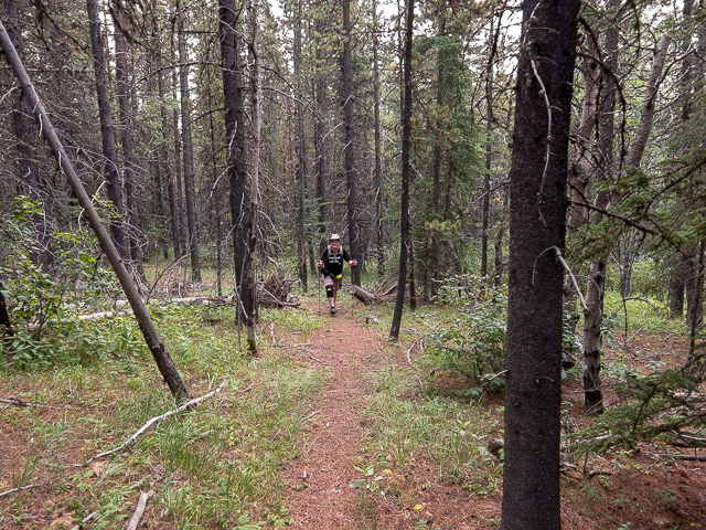
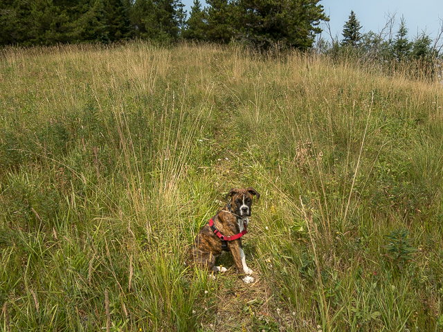
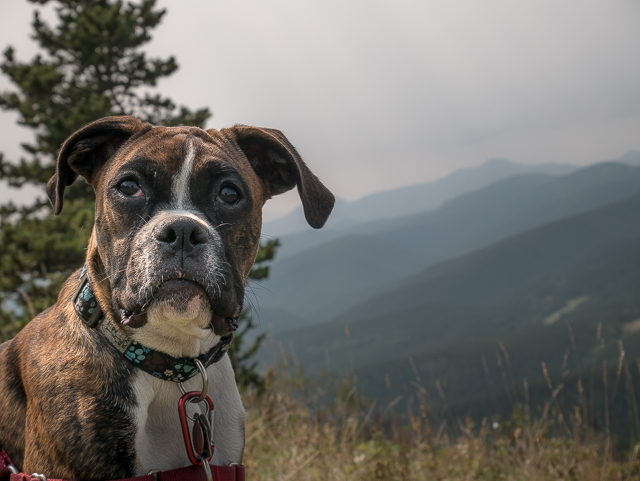
Once you’ve had your fill, retrace your steps. We stood there for half an hour at the summit just looking about in awe – so love the top of a hill, or the woods, or anywhere we are in the wilderness for that matter. Said it before…perhaps too much…we’ve got world’s best playground. Lots of fine banter on the trip back, as always, and an enjoyable time dog sitting a charming boxer puppy. She took to the woods as though born there. A pretty good day.
Till next time we hike.
More short hikes….
Deer Ridge.
Fullerton Loop.
Windy Point Ridge.
If you wish more information about this trail, by all means contact us!
Date of adventure: August, 2017.
Location: Kananaskis AB, west of Millarville.
Distance: 3.5km return.
Height gain maximum: 200m-ish.
Height gain cumulative: 200m-ish.
NOTE: all distances and heights are approximate.
Technical bits, warnings and notes: None.
Reference: Kananaskis Trail Guide by Gillean Daffern.
Let’s start at the beginning…
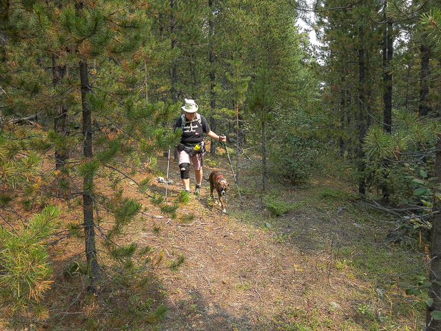
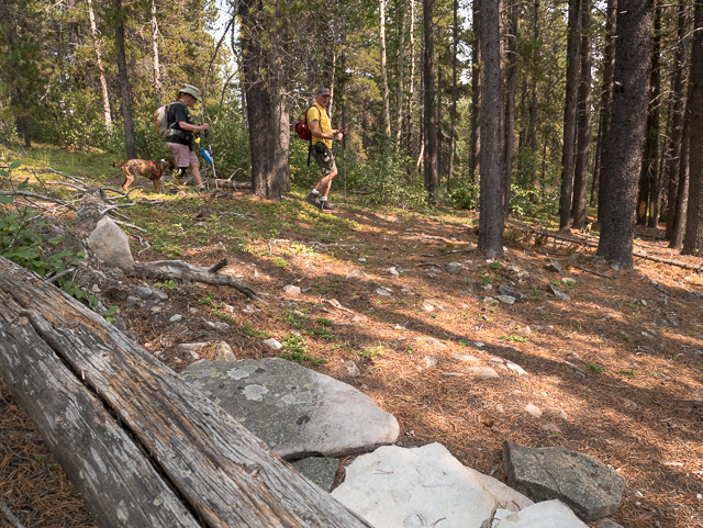
Easy going…and we’re dog sitting.
In a clearing…
Team BIGDoer, today, is three.
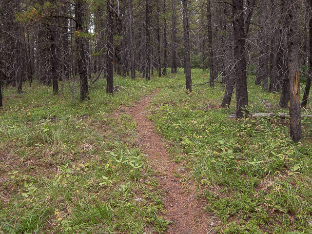
The trail is mostly distinct like this, but faint in some places.
The grade is gentle, even hard to see here.
The trees thin and offer up this view to the east.
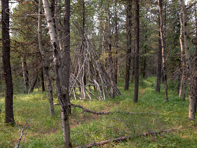
At the summit, this tee-pee looking shelter.
Heading to the viewpoint.
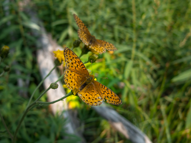
Lots of butterflies about.
Patiently waiting while we shoot some photos.
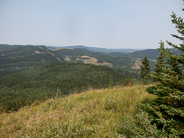
Mount Barwell, centre midground.
Haze is from forest fires – the planet is burning up!
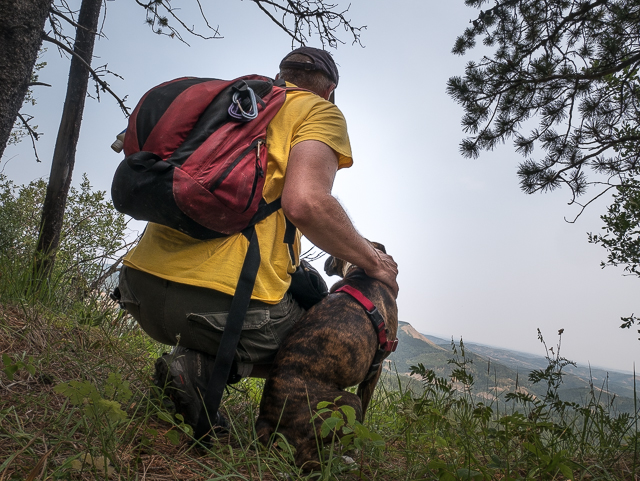
Our new hiking pal.
Looking west – doggie photo bomb!
Looking east-ish.
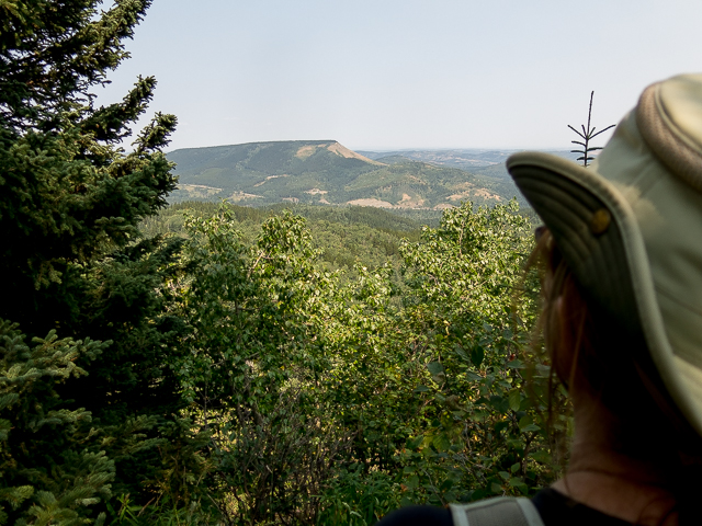
Mesa Butte…as shot from Mesa Butte. Please, read the post…
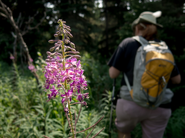
Passing through a stand of fireweed.
We’ve been up Mesa Butte a couple times.
Hard to see the trail here.
Near the end of the journey.

This was one easy stroll through the woods.
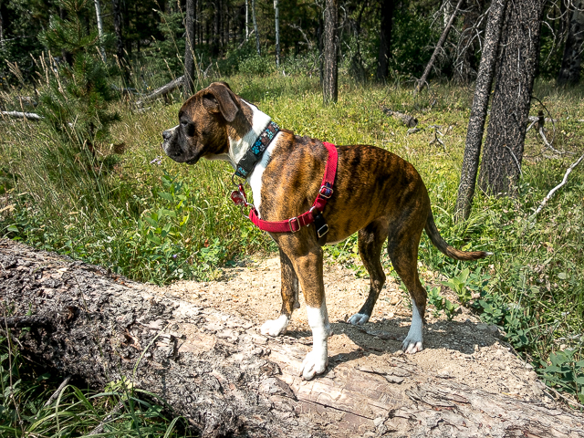
Drea, our son’s dog and now official mascot of BIGDoer.com.
The “post” at the trailhead.
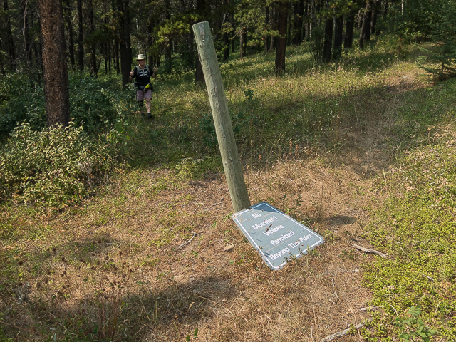
“No motorized vehicles”…
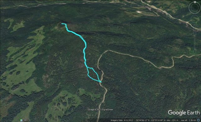
Death’s Head Route…take the left route at bottom to avoid dense brush.


")


Cute doggie!
Cute, friendly as heck and totally obedient. And for a puppy!
Fun day with my best friend!
It always is a blast doing stuff like this together.