
Mt Ware
Modest in stature Mt Ware, in the rolling foothills of Kananaskis a bit west of Turner Valley, has attributes unbecoming its size. There’s steep slopes, often rocky and loose underfoot topped by a narrow craggy summit, barren and windswept, more befitting a major peak than the minor bump that it is. Access is easy via established trails, some of them a pure-on mud fest, but most pleasant enough, with some off-route sections for a click or so, higher up, to challenge one’s navigational skills. A visit to “Little Ware” is a must-do side trip.
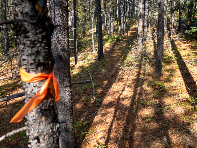
Park at the Gorge Creek Day Use Area where the Gorge Creek Road terminates, a couple clicks north of Highway #546. The adventure begins behind the biffies. The trail, to start is muddy and chewed up, mostly due to cattle that often free range in the area. It’s also shared with equestrian riders and bikers.
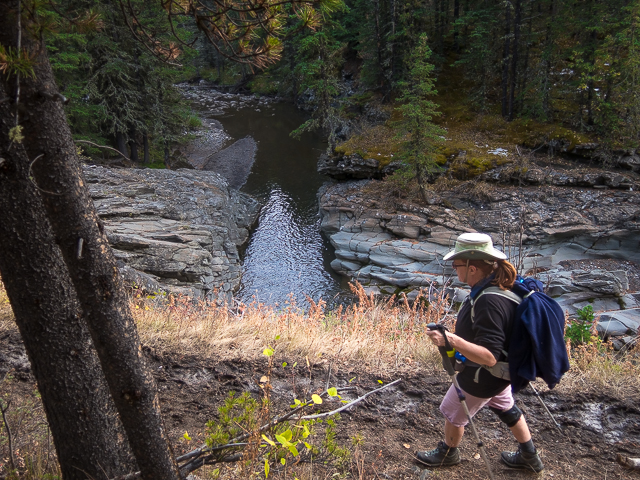
The trail takes a line well above Gorge Creek, rising and falling with the terrain. At one point a side creek tumbles down into the canyon below. Cross a footbridge, turn left at the junction, marked by a sign. The trail, orange diamonds sometimes seen along the route, soon bends west and again meets up with Gorge Creek – well it’s far below in a canyon, way down there, but otherwise not far away. The going is pleasant and easy with some minor undulations here and there. At times the trail drops down to join Gorge Creek, where the terrain allows, then soon says good-bye by rising up again. Gorge Creek seems aptly named.
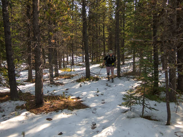
Just past a cattle gate take the lesser trail (marked by a cairn on our visit) heading up into the trees. Now the hard work begins. Follow the sometimes faint path as it parallels a drainage (sometimes it’s in it). Some flagging is seen. If you loose the trail however, just keep heading up and you’ll be fine.
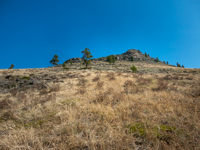
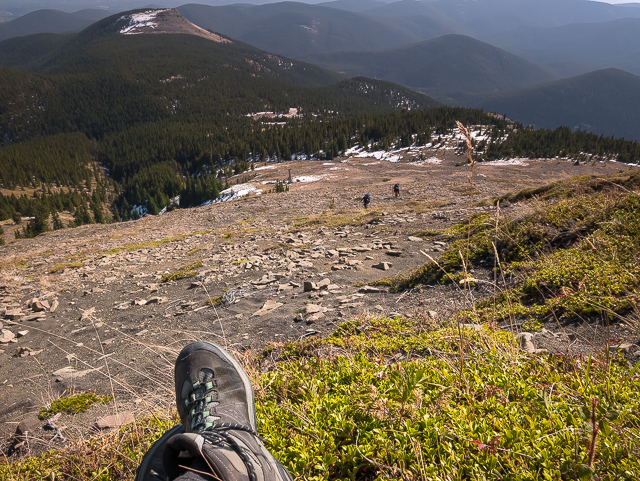
Break out of the trees below Little Ware, a rocky bump a bit east of Mt Ware. Take time to visit it – we did so on the return leg. At a flat area just below Little Ware, take in Mt Ware off there in the distance in the west then plunge into the trees. Sometimes there’s a faint trail and other times is a pure-on bushwhack. Keep a roughly a west-ish line on relativity flat terrain for a kilometre or so and you’ll hit your target.
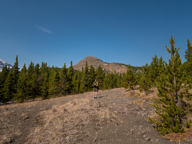
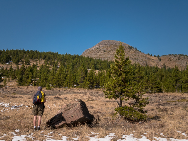
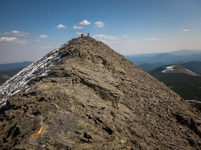
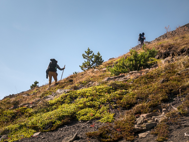
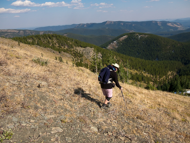
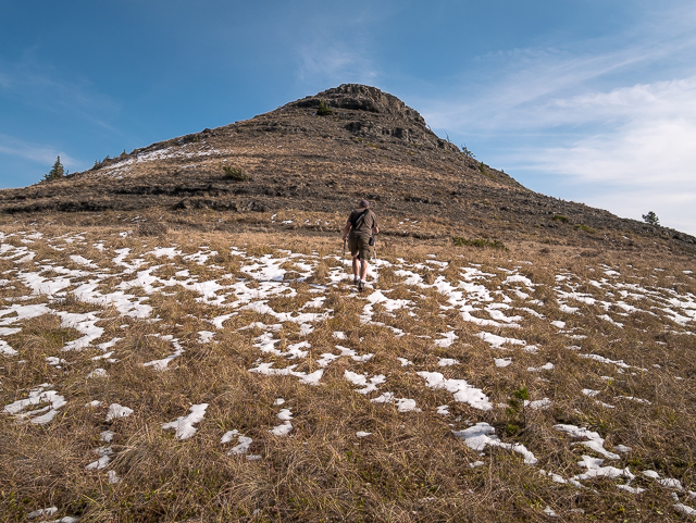
The trees thin and Mt Ware soon comes into view. It looks steep (and is)! Head towards a deep drainage, alternating woods and meadows, and turn right. Leave the trees behind. Take what ever line you like, taking on some minor cliffs head on the left or rock garden to the right. Things so on get steep and loose. There’s no trail.
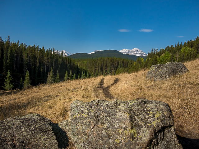
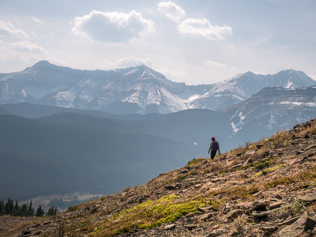
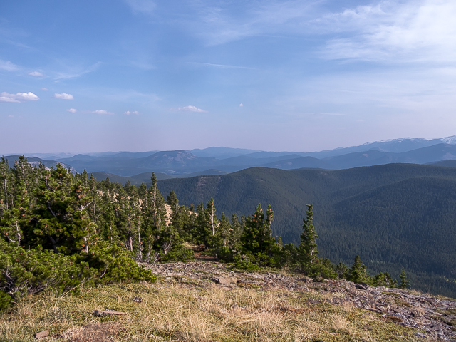
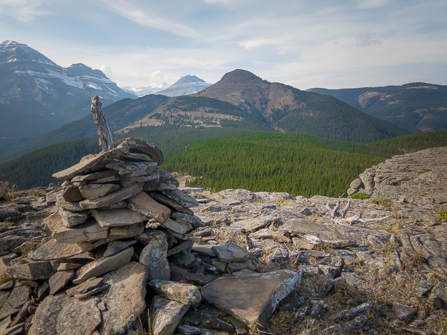
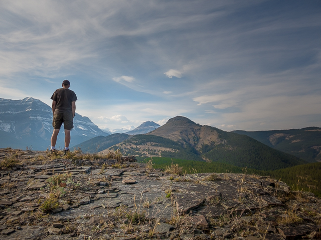
Huffing and puffing there’s occasional hands on scrambling in places. Plan your steps carefully – it’d be easy twist an ankle or send a rock tumbling down. Look out below! More steep up – Ware’s got attitude! Top out and be blown away. The summit is small and the views something damn superb. In the west are a wall of big peaks – left to right, Mt Burns, then Bluerock Mountain, Mt Rose and finally Threepoint Mountain
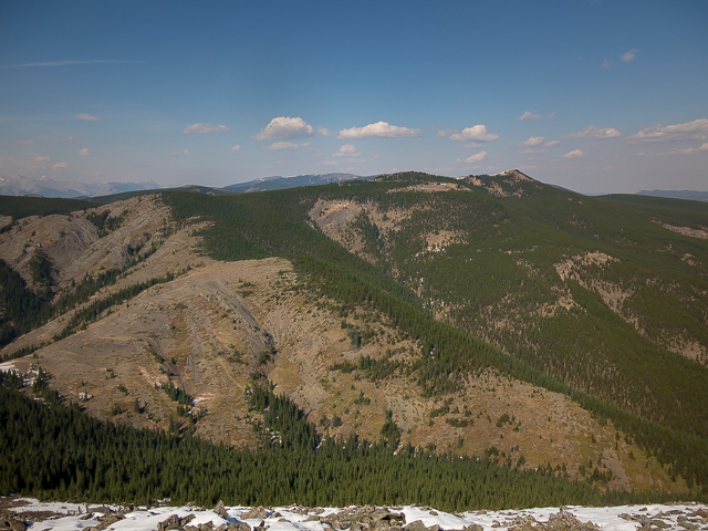
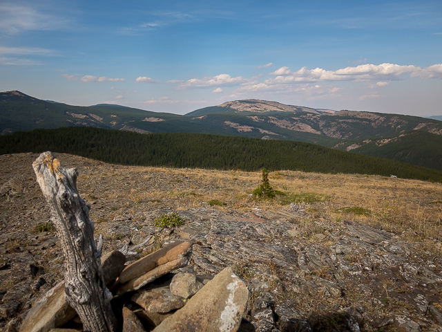
Lots of rolling hills in the other directions. One’s we been too – to the north Volcano Ridge, to the south Mt Hoffmann and Indian Oils Ridge, to the east Green Mountain and Missinglink Mountain (what an odd name) and in front Little Ware, which we’ll soon get to know.
There was lots of smoke from forest fires in other provinces making things hazy on our visit. Still, what a fine 360 degree view!
The trail thus far has been quiet with only a couple hikers to be seen. However, near the summit it got busy, several groups all reaching it at about the same time. Some of these hikers clearly took a different route (and there are others). At times it was a little crowded up there.
Retrace your steps back to Little Ware. The front is all cliffs and rocks but if you trend around the left a grassy ramp takes on to the top. Again more views. You can see the parking lot you started from and aptly named Gorge Creek deep in a…well…gorge sort of in the southeast. Ahh, breathe!
A steep drop down, back at the cattle gate and now an easy stroll to where you started. A very pleasant outing with only that mucky mess near the parking lot to kill the mood. But it’s short and soon forgotten. Enjoy your visit to Mt Ware!
Naming conventions: Mt Ware is in reference to an early rancher from the area, John Ware, who in the 1890s had a property, the four 9s, a bit to the northeast. John was a former slave who emigrated to Canada from the southern US in the post civil-war period.
More like this…
Strawberry Hills.
Moose Mountain.
South Mist Hills.
Wind Ridge.
If you wish more information about this trail, by all means contact us!
Date of adventure: September, 2017.
Location: Kananaskis AB, Sheep River area.
Distance: 16km return.
Height gain maximum: 530m-ish.
Height gain cumulative: 600m-ish.
NOTE: all distances and heights are approximate.
Technical bits, warnings and notes: None.
Reference: Kananaskis Trail Guide by Gillean Daffern.
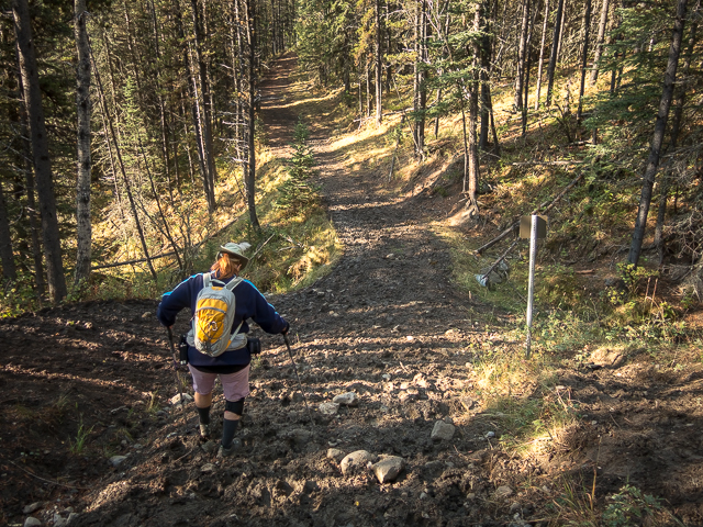
On the trail to Mt Ware – the mucky section early in.
Clear skies now, hazy later.
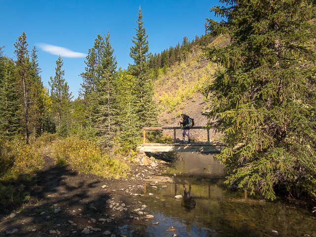
Crossing a small stream.
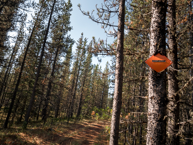
One the marked Gorge Creek Trail section.
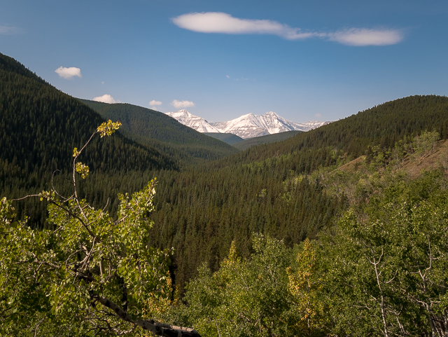
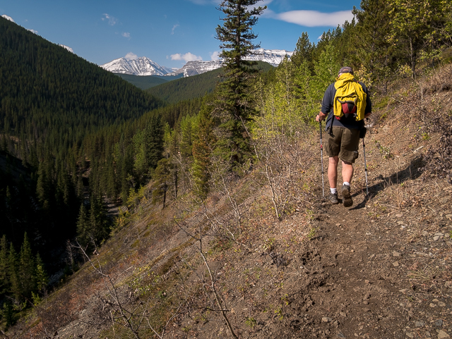
Big peaks to the west.
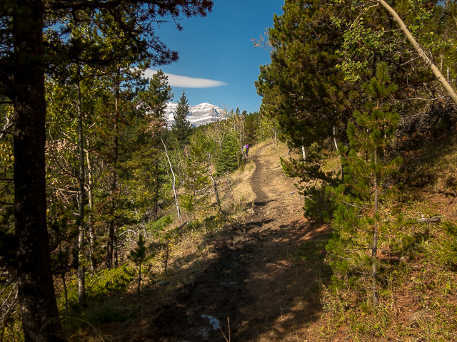
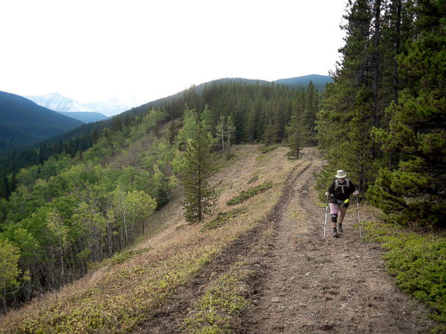
The trail here is easy going and well defined.
High above the gorge of which Gorge Creek gets its name.
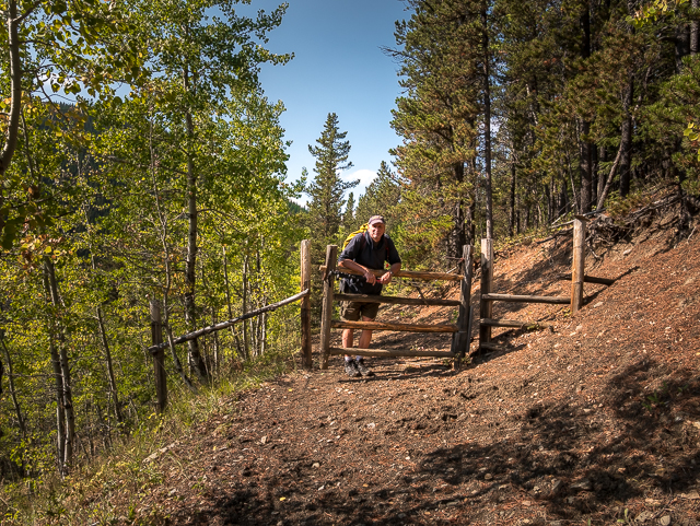
Right after this gate take the lesser trail heading up to the right.
The trail here is faint in places and comes with some flagging.
Little Ware, which we’ll visit on the return leg.
A section of bushwhacking.
Mt Ware comes into view…and she’s a beauty!
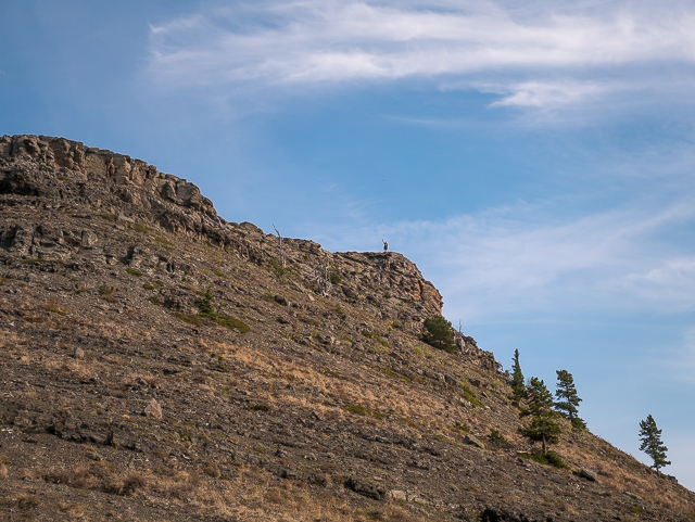
We’ll take the right skyline ridge, the easiest route up.
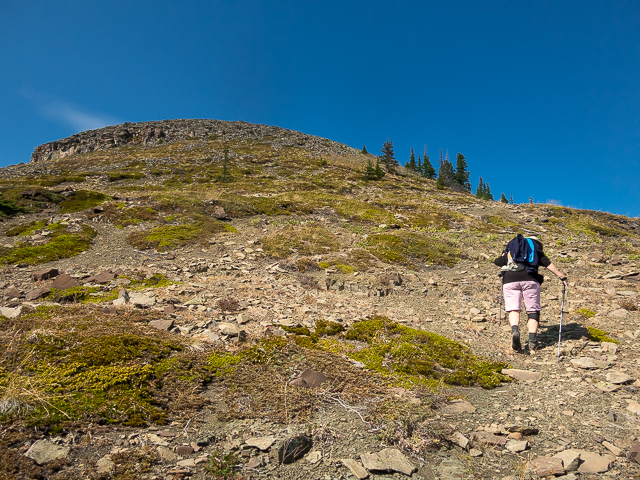
An ATTACK on the summit – it’s steeper than it looks.
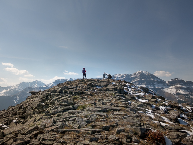
Some new friends at the top.
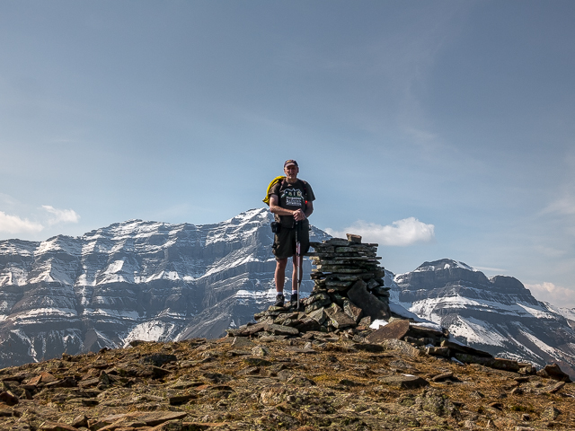
Your author, that always uncomfortable look on having his picture taken.
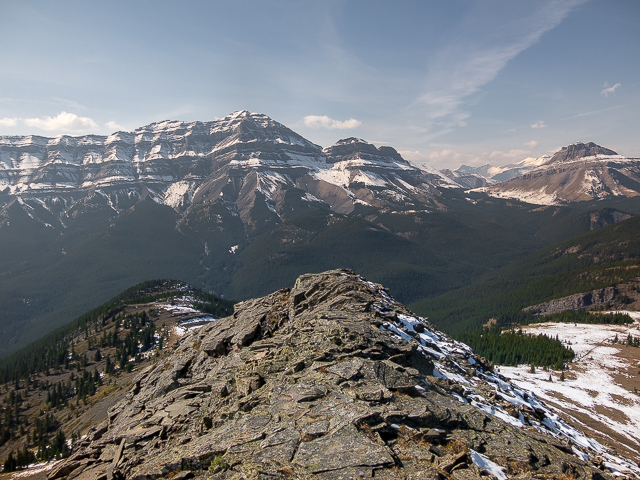
Bluerock Mountain left and Mt Rose right.
A narrow ridge off Ware – Little Ware in back.
Connie ducks below the summit to prepare lunch – more hikers below.
Looking north.
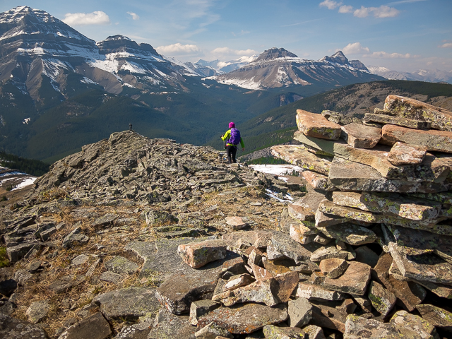
From the summit cairn.
The trail was quiet but the summit busy.
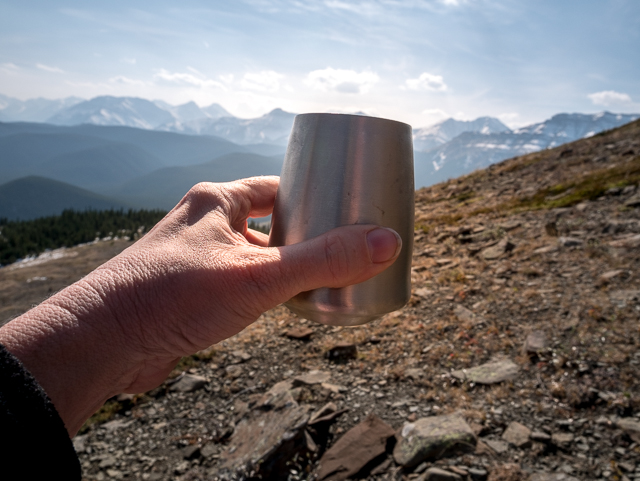
New wilderness wine glasses – cheers!
Another hiker descends-the huge mass of Mt Burns behind.
That long lump way back is (oddly named) Missinglink Mountain.
Heading up Little Ware.
Green Mountain is back in those rolling bumps somewhere.
Mt Ware from Little Ware.
Over there, Volcano Ridge.
On the summit of Little Ware.
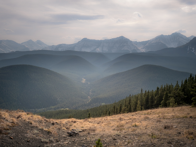
Smoke from forest fires burning across the west rolls in.
One last look before we leave.
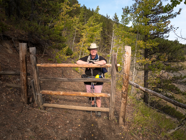
Obligatory “pose at the gate” photo.
Close to Gorge Creek here – I see a hot day swimming hole below.
Connie follows.
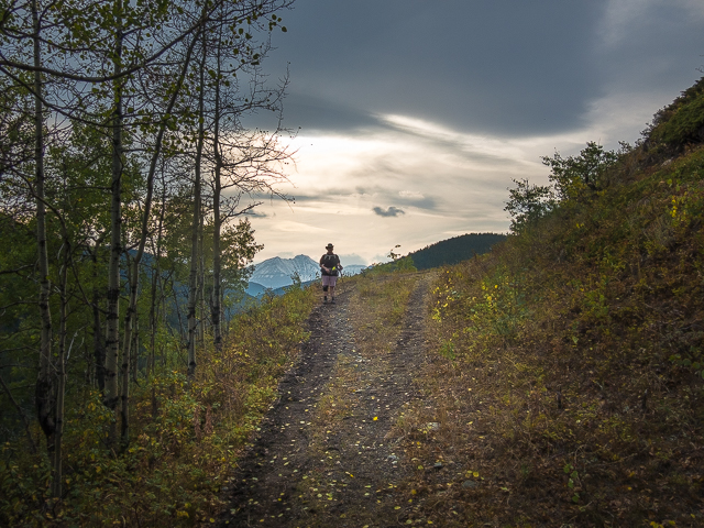
One last look before trees block the views for a time.
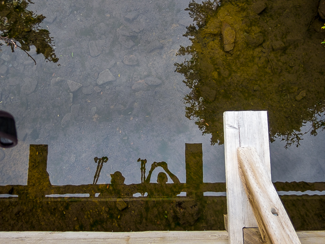
Reflections of the trip – the fun, sadly, soon to end.
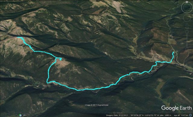
The Mt Ware/Little Ware route.


Great day with my best friend!
We’re having a great time. Always fun to hang with you too!
Wicked shots!!
Thanks, it was such what an amazing place to visit!
I’m just glad you have the legs and the drive to continue to display our wonderful countryside to the world. Thanks. Cheers.
Thanks Mike, that’s some wonderful encouragement. We’ll keep getting out there!