
Sinnott Hill
This one’s for the adrenaline junkies. Imagine it – extreme grades, hands-on climbing, narrow ledges, acute exposure, rock falls and danger at every turn. This is where the Reaper hangs when he needs to meet a quota. They call it the Devil’s Drop, in hushed tones. Seasoned mountaineers have to been know to toss their helmets aside and run away in terror upon seeing it. “I’m taking up curling instead!” There’s nothing more…wait…oh, sorry.
Wrong write up. My bad. Let’s try again…
Humble little Sinnott (or Sinnot) Hill is located in the Ware Creek area of Kananaskis west of Millarville. Getting to its broad modest-height summit is fun and easy (a gentle grade), using a series of trails in the area, some well defined, some a bit faint. Low down it’s a bit chewed up and while views only happen once you get close to the top, it’s still overall a pretty darn pleasant outing. Doubly so for us this late December day – the weather was down right balmy.
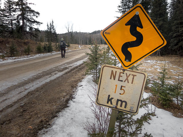
There’s a couple starts to trail. The usual one is at the horse corrals off to the left, along Highway #549, just inside the K-County Border. This means crossing Threepoint Creek which looked a little too cold for our tootsies this day. Instead, we drove a little bit west where we could make use of bridge get to the other side. This adds a couple clicks to the total distance. No biggie.
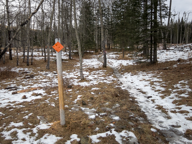
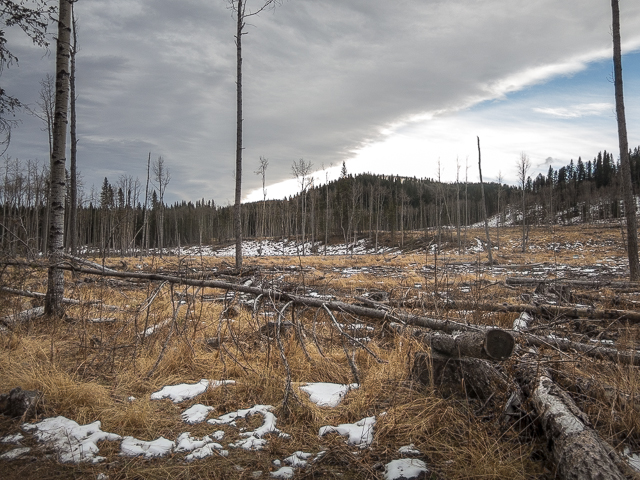
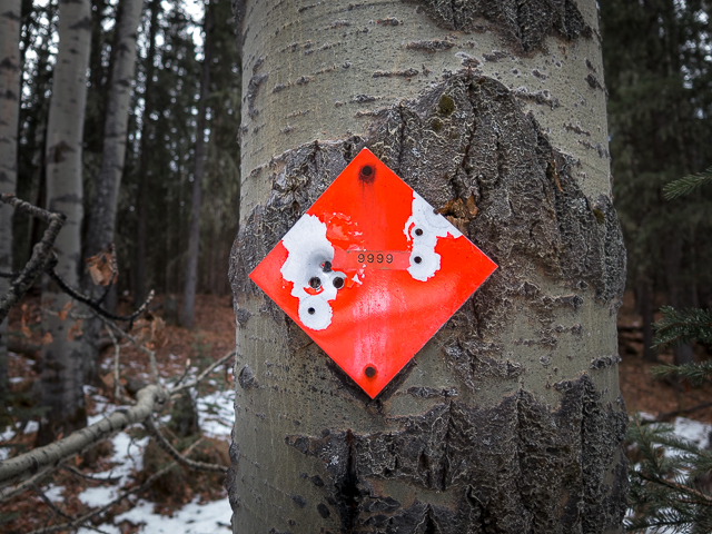
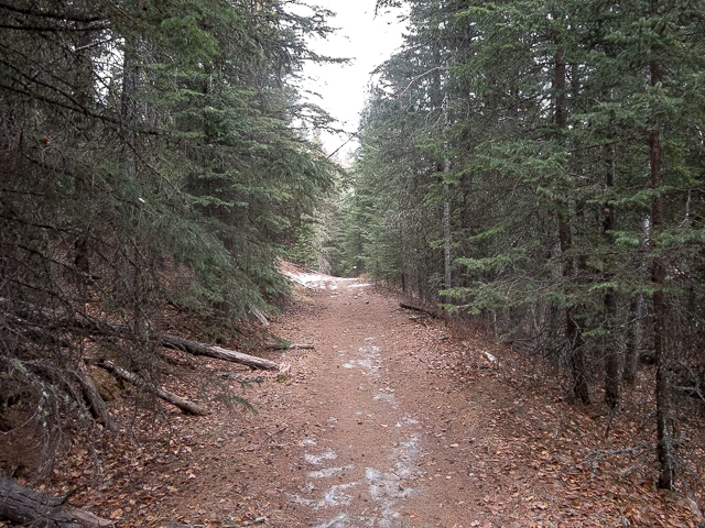
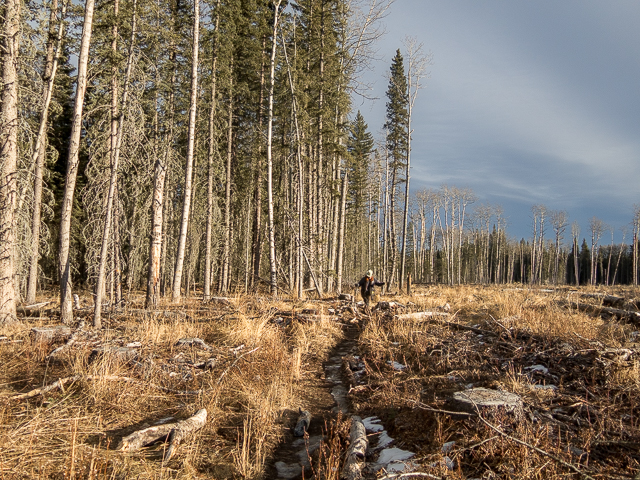
Just past Mesa Butte (bare faced hill in back and to the right) park at the junction with the Gorge Creek Trail (a road). It’s closed in winter and is the starting point for this here hike today. Cross over the creek and stay on the road till you come to a small gas compressor station. Go left on the 9999/Four-Nines trail (named after a ranch that operated in the area) marked with a red diamonds and head east. The trail runs next a cut block and is indistinct at times. There’s some dead fall here to jump over.
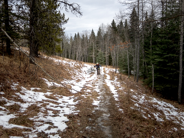
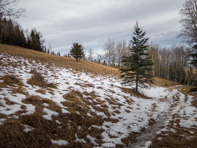
There were random patches of ice underfoot this day so our progress was slow in places. No need to twist an ankle. Overhead, a very pronounced Chinook Arch, a bringer of warm winds and mild days, is seen. Thanks Mother Nature. In fact it had been warm for the last couple weeks prior. Only a short few days after this hike did it snow and the temperature plummet.
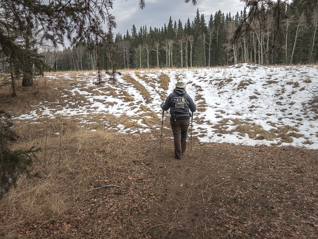
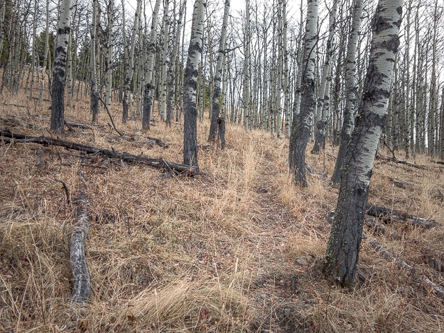
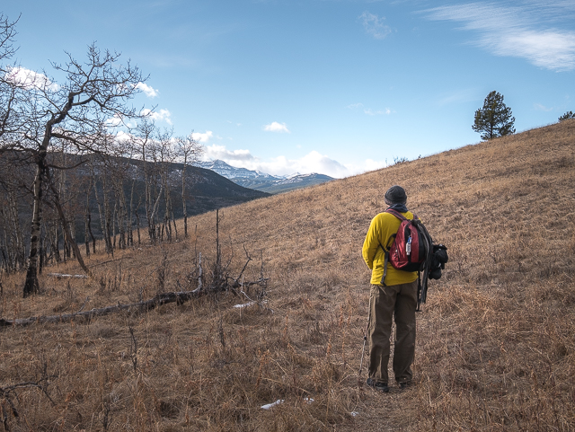
Enter a meadow and on coming to a junction turn right (south). The left leg takes one back to the normal “horse corral” start. Plunge into the tree and start a gentle climb. Some sections are a bit chewed up by free range cattle who spend the summer here, and by horses, but it soon gets better. This in fact is mostly an equestrian trail (in summer anyway).
Down low Spruce is the dominate species of tree. We call these dense groves, all dark and brooding with moss underfoot, “Faerie Forests”. Later it’s thinner stands of mixed woods with an occasional meadow. Continue on, gaining elevation at a relaxed pace. There’s a hill to the right which might be worth a visit sometime. Or not.
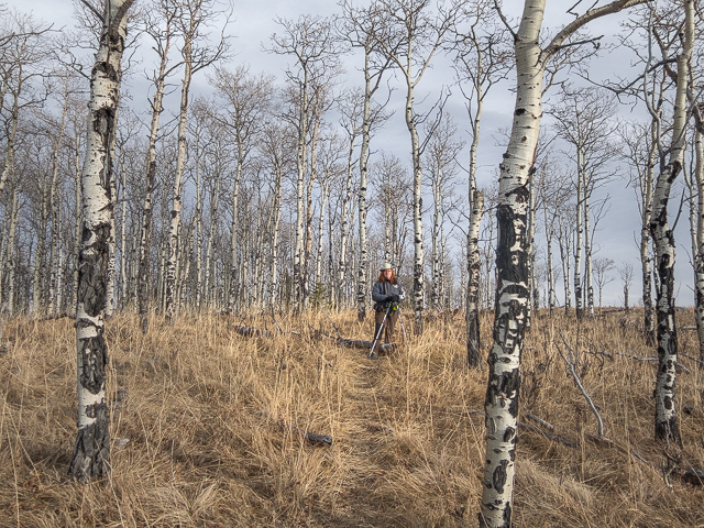
At a saddle, just before the trail drops down, turn left into a meadow on a faint path, leaving the Four-Nines behind. Heading up, pass through successive groves of trees mixed with open grassy areas. Easy going here folks. The trail fades at times but the is way is pretty obvious. I suspect it’ll improve as more people come to “peak bag” Sinnott Hill.
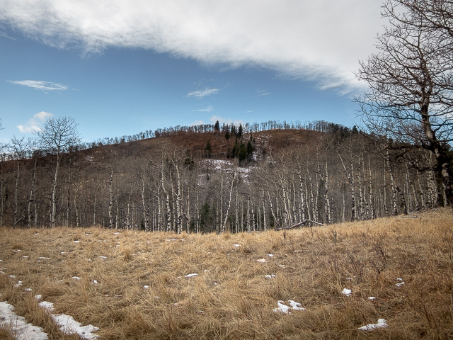
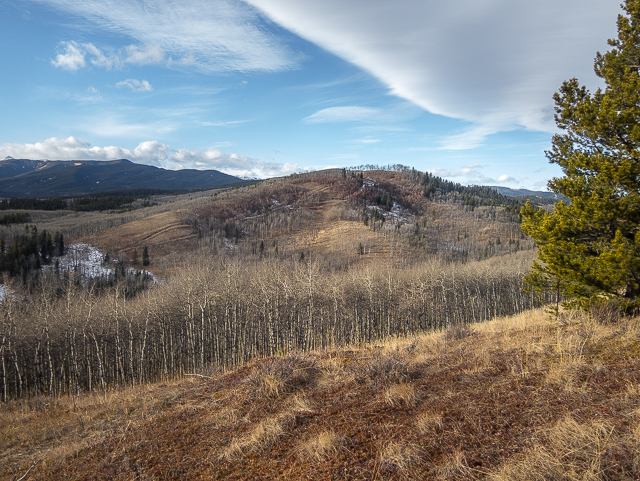
Passing through one last stand of trees, come to the grassy summit open mostly to the south and west. All around is a sea of low hills and ridges, much like the one you’re one. To the west there is a long connected mass that is Volcano Ridge/Allsmoke Mountain. It blocks the view of big barren peaks in behind. A Chinook Arch is seen above. It’s been with us all day – oh those warm winds it serves up are something wonderful – image I’m a cat soaking in the sun.
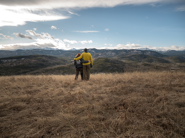
Somewhere down there in the south there’s Carry Ridge, Muley Ridge, Pine Ridge and a bunch of others. I think that’s Missinglink Mountain to the southwest and a bit to the right and behind, the backside of Mt Ware. Is that Death’s Head to the northwest? It’s hard to make most of them out from this “new” angle. But we think we’ve got them fiqured.
What ever the case, it’s a wave after wave of green and gold. Spin around, take it in, the warm and gentle breeze blows, fall into a daydream. This is a happy place.
There’s a bit of a view to the east, the rolling terrain transitioning to prairie. Here we’re almost at the border of Kananaskis – it’s private land beyond.
Chow time! A summit, even one as lowly as Sinnott Hill, is a great lunch spot. This is always the highlight of any hike we do.
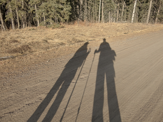
When it hits you, retrace your steps back to your ride. No rush though – why leave this wonderful place? Near the bridge we pass lots of people gathering Christmas Trees. In fact we got our own from this area a week or two earlier.
The lost glove was disposed of.
More little hills to hike up…
Indian Graves Ridge – Willow Creek Hills.
Mustang Hills.
Windy Point Ridge.
If you wish more information about this trail, by all means contact us!
Date of adventure: December, 2017.
Location: Kananaskis AB, Ware Creek area.
Distance: 9km there and back.
Height gain maximum: 230m-ish.
Height gain cumulative: 250m-ish.
NOTE: all distances and heights are approximate.
Reference: Kananaskis Trail Guide by Gillean Daffern.
We’ll start off on the Gorge Creek Trail Road (closed to vehicles in winter).
Joining up with the 9999 Trail.
Passing a logged area.
Snap!
Easy going the whole way.
There’s rednecks about!
Gaining elevation slowly.
A little hill to the west.
On leaving the Four-Nines, the trail becomes faint in places.
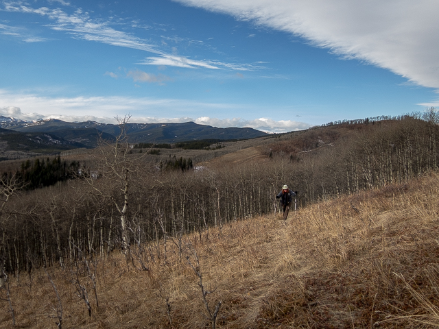
More meadows as we approach the top.
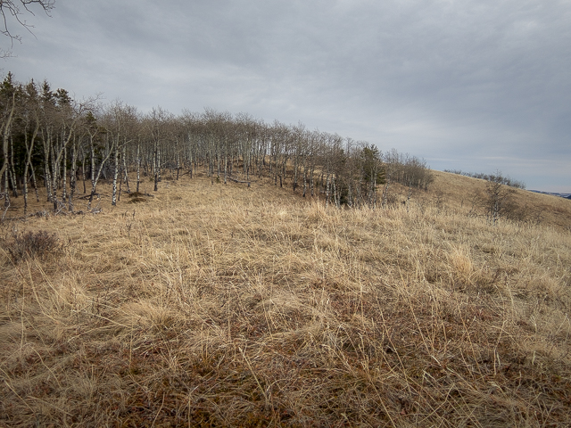
The highest point is just behind those trees.
It was a Chinook kinda day.
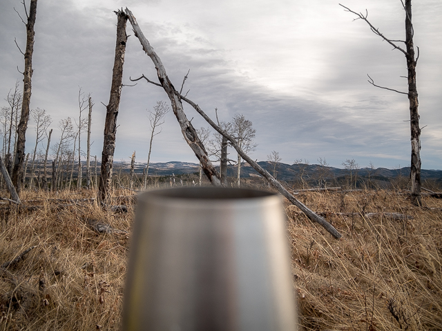
Summit wine! Looking southeast-ish.
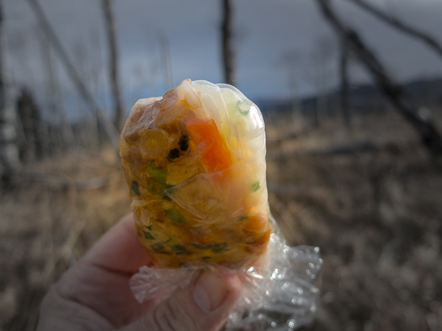
Yummy homemade Salad Rolls.
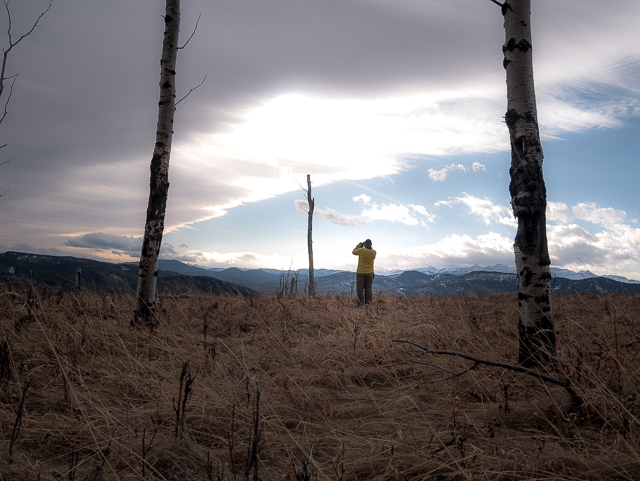
Taking it in.
Volcano Ridge and Allsmoke Mountain make up that long mass in back.
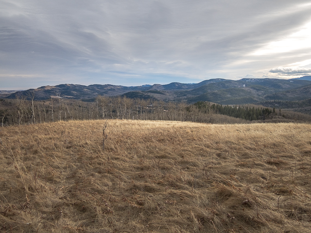
The view south – lots of rolling hills and ridges.
Heading down.
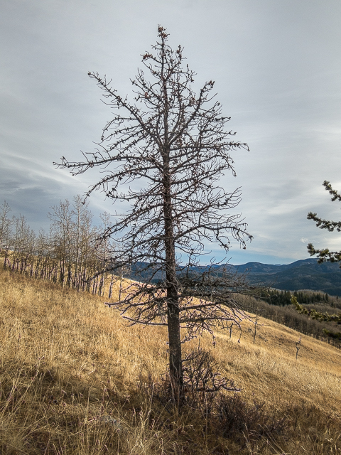
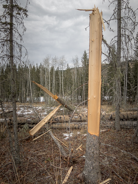
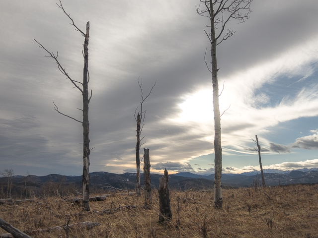
A tree corpse.
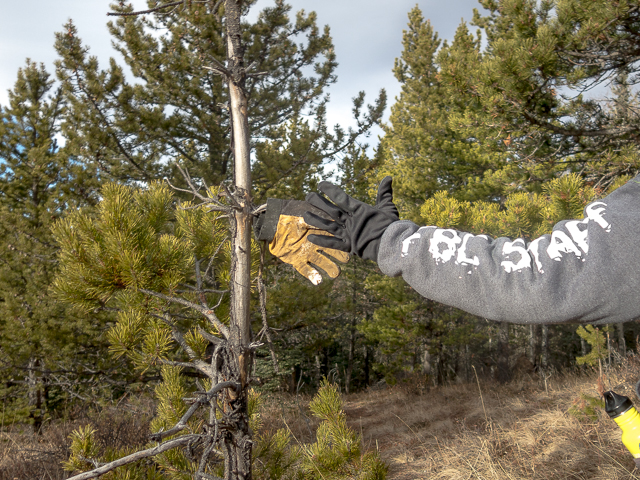
High five – a lost glove.
Hard to believe it’s December.
Notice the exploration roads on the little hill in front.
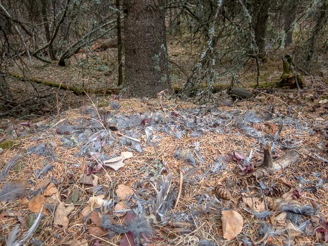
A bird met its end here.
Back on the Four-Nines.
The hill to the left might be worth a visit sometime.

Lower down the trail is pockmarked by horses and cows.
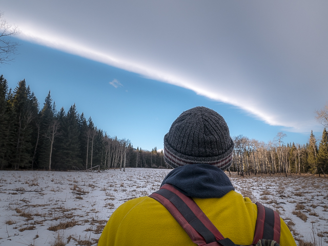
A “Chinook Arch”.
Almost back at the start.
Mid-afternoon and the sun is already low.
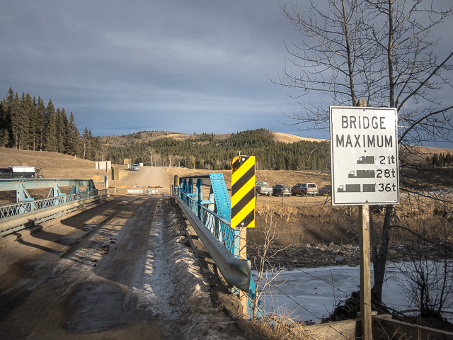
Crossing Threepoint Creek, the journey done.
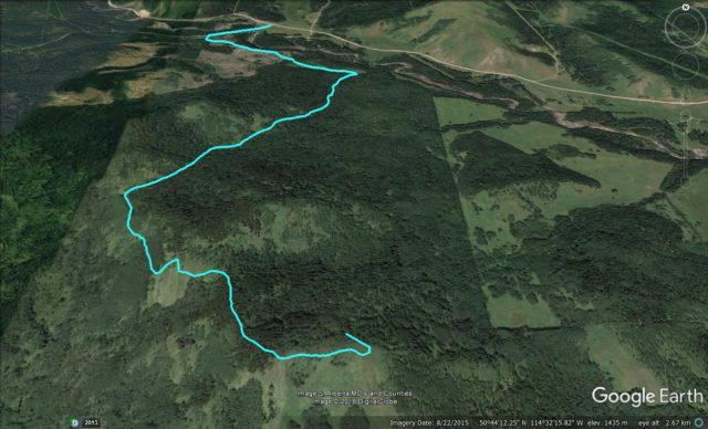
Sinnott Hill Route, 9km of fun.
")


Great day with my best friend!
A best friend is the most valuable thing on the planet. Glad we’re that to each other. This trip wasn’t all that long ago, but it has me longing for better days. Winter is getting to me…already!
Pretty!
Thanks, we think so too!
Beautiful! 🙂
As we always say…we have the best and most beautiful playground on the planet. Thanks for commenting!