
Return to Eagle Hill
Our goal this day is a modest lump of dirt called Eagle Hill situated in the Sibbald area of Kananaskis just south of the Trans Canada highway and bordering on the Stoney (Nakoda) First Nations Reserve. Coming into season early, you can often find us on this trail in the spring. By summer it’s often overgrown and mosquito infested, and anyway, other more exciting hiking and scrambling options open up by then. None the less, we enjoy the trail and the views (what few we have this day – damn you clouds) plus the exercise we get.
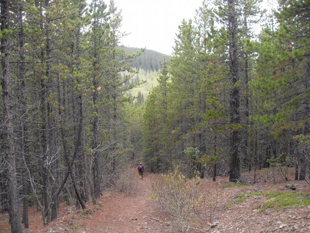
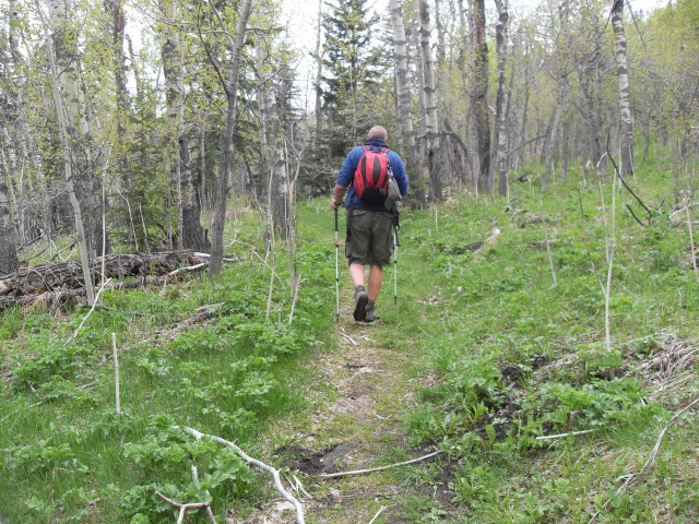
This is a multi-use trail, shared by hikers, bikers and those on horseback. It’s never been that busy any time we’ve travelled it and this day, we’d have the whole place to ourselves. It’s alternates between single track, cut lines and old exploration roads, gaining elevation (and losing some) the whole time.
We’re going to mix it up a bit and on this trip we’ll take an alternate route in for part of the trail. Normally one heads south then west, but in this case we’ll go north, climb a small ridge and head west before connecting with the main trail further on. There are lots of offshoot trails, interpretive trails and plenty of junctions and the like and it would be easy to get lost. Fortunately, most (but not all) junctions are marked and if you follow our report, you’ll have no problems anyway.
From the Sibbald Lake parking lot we head up a road marked Camp Adventure. Along the way we get a good glimpse of the lake, calm and still, and we can see lost of fisherman out on floats. It’s a pretty tiny body of water, more of a big pond really, but none the less it’s pretty and serene. Along here we find one of the biggest ant hills we’ve ever seen and it’s alive! It’s a moving mass with thousands and thousands of ants and it’s creepy as hell.
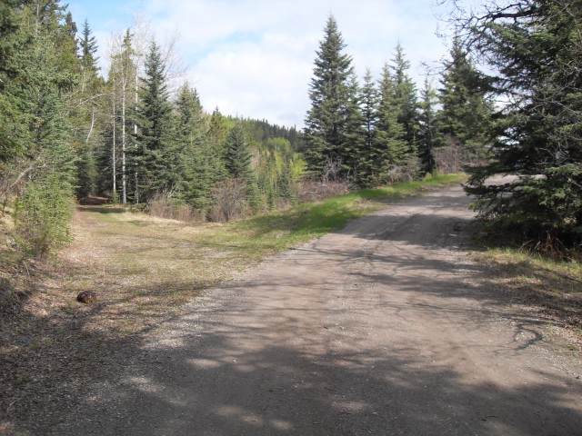
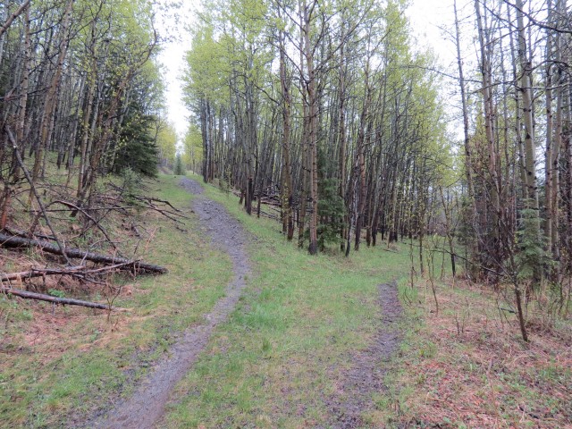
After a few hundred metres we leave the road, heading left on a grassed over cat track. Shortly after another junction appears. While the urge is to take the right branch, nice and flat and easy, instead bare left taking the more worn trail that heads steeply up. The reason we do this is that the other trail soon becomes clogged with brush and dead fall even though it heads in the same direction. Topping out on a small ridge the trail turns right (northbound) gradually losing all the elevation you’ve worked so hard to gain. Before long it’s another junction and turn left here. If you go right that trail is the impassable one I spoke of a few earlier.
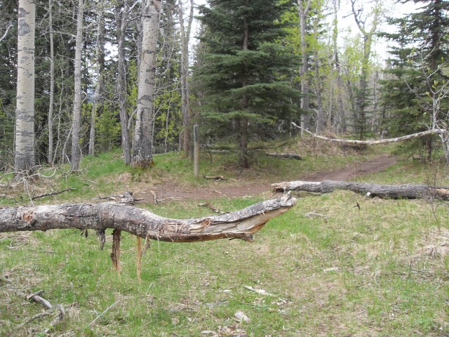
At times the trail is faint here and grassed over and sure enough, before long you’re at another junction. This one would be easy to miss and be sure to go left here. If you stay straight you’ll get about a few hundred metres before the route becomes heavily overgrown. Almost immediately we’re at yet another junction. It seems like a lot of them but it’s hard to get lost if you follow our directions. Head right here – and remember this spot as we’ll take the other route coming in from the left in the way back. This is the main Eagle Hill access route we just joined up with.
Sauntering along, we hug the base of a small ridge. We gain and loss a little elevation here and for the most part the going is easy and pleasant if not a bit mundane. We come to one last junction this direction anyway – with the west section of the Deer Ridge trail – continue on straight. That route could be used on the way back, as it ends at the same parking lot, but it would entail more work as there is some elevation to gain (and then lose).
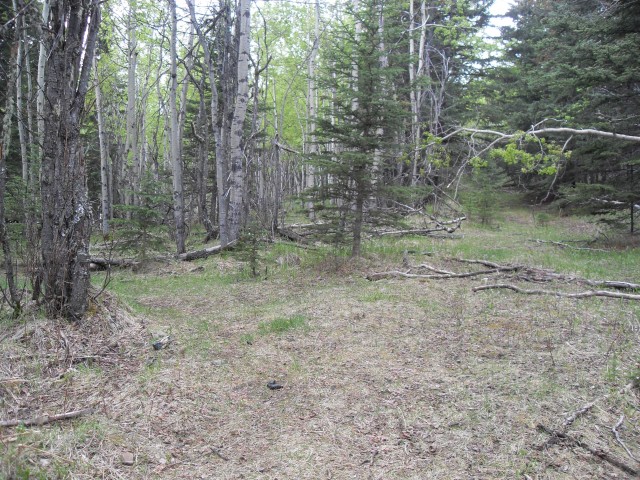
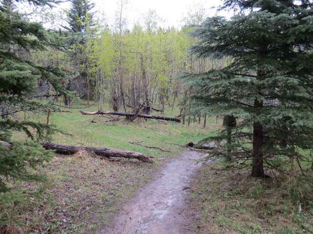
Meandering between grassy meadows and mature spruce forests, the trail rises and falls here, sometimes near the valley bottom and other times traversing a bit up the hill side. At one point we pass through the edge of a cut block easily identifiable because of the small dense trees and old stumps you’ll see.
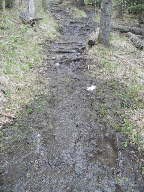
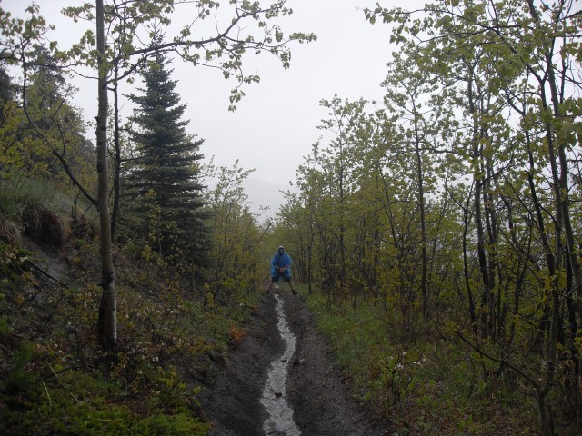
At times, the trail is wide and well drained, at other times, it’s grassy and faint. In places it’s a mud bog and with recent heavy rains the trail is a sometimes a stream (or even a torrent). It’s a trail with many personalities!
Dropping down between two hills, we come our one an only creek crossing, but it’s bridged. From here on the rest of the route is up hill all the way to the summit.
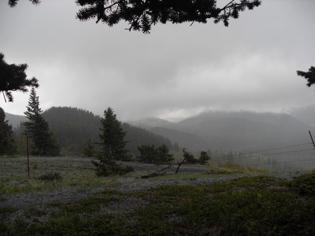
Most of the time we’ve either been in the trees or in small tree fringed meadows. Before lone however, we break out of the dense forest and finally are greeted with some respectable views of Eagle Hill above us and behind, the valley we came up. We climb steadily on what appears to be an old exploration road and before long we are at a hitching post. This means we sere almost there and with one more steep push, we’re at the top. It’s a bit loose here, the only part of the trail like this.
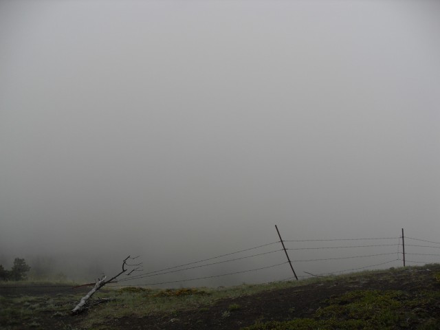
The hill is treed on the north and east side so any views we have are to mostly to the southwest. From here we can normally see many mountains of the front ranges. Except for today that is and all we see are fog and clouds. To the south there are some ugly cut blocks but they are mostly obscured by the fog and to the east, we can look down the valley that lead us here. There is a fence at the top indicating the border between Kananaskis and the reserve and it cuts the hill in two.
While it’s cloudy, so far the rain has eluded us. We enjoy a leisurely lunch with wine and during momentary breaks in the clouds we get brief views of the hills and mountain near us. We did catch a brief glimpse of the Barrier Lake Lookout, but by the time we turned on the camera, clouds rolled back in. From what we could see, some fresh snow had been deposited on the higher mountains in the west.
If we could look south beyond the cut blocks, we’d see a couple modest sized mountains we’ve been up, including Cox Hill.
It’s as though the weather waited for us to finish lunch and not minutes after packing up, clouds rolled in, the rain came down, at time in torrents and sometimes mixed with hail. Fortunately we keep a couple of those cheap garbage-bag-looking disposable ponchos in our pack and these kept our heads, upper body and packs bone dry.
Heading back down, many parts of the trail have turned into a stream. Both Connie and I have new Salomon boots and we’re thankful that they seem to be doing a great job keeping our feet pretty dry, despite the downpour.
We follow the trail back, being mindful of the alternate route we’d take for the final part. At that junction (remember we talked about it earlier) we stay right. It parallels a moose meadow here and at a new bypass we head left and up. The old trail, decommissioned, can still be taken although the parks people would like to see it revert back to nature. Before long the Deer Ridge trail we spoke of earlier comes in from the right, as does an interpretive trail from the left, and a few hundred metres past we are at the parking lot.
We can see a number of fishermen still on the lake, in fact more than before the rain started, proving they are a tough lot just like us. Like them we’d never let a “little” rain bother us.
Along the way, we see lots of potential edibles – had it been later in the season that is. The trail was carpeted with Strawberry plants and there were lots of Currant and/or Gooseberry bushes nearby (they are of the same species and hard for me to tell apart in the spring).
I realize that Eagle Hill is a modest bump but even so it qualifies as a summit – barely. Many people have little good to say about this trail, but I don’t think it’s so bad. For what it is, an early season workout trail, it’s a pretty interesting and fun.
To see some other “modest” summits we’ve reached, follow these links…
Windy Point Ridge.
Mesa Butte via Curley Sand Ridge.
Mount Hoffmann.
If you wish more information on this route, by all means contact us!
Date of adventure: May, 2013.
Location: Sibbald area Kananaskis .
Distance: 14 km return.
Height gain from start: 325m.
Height gain cumulative: 380m.
NOTE: all heights and distances are approximate.
Technical bits: Mud, horse poop and other slippery stuff.
Reference: Kananaskis Trail Guides by the Dafferns.
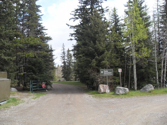
To start, we head down this road marked Camp Adventure.
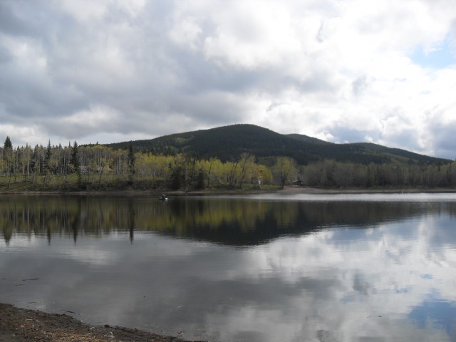
Tiny Sibbald Lake.
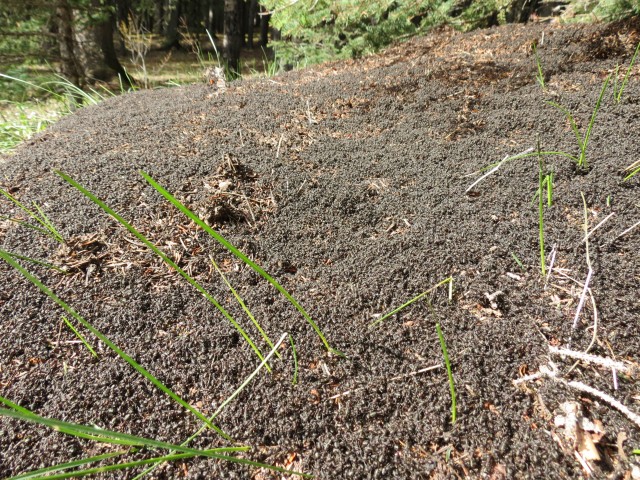
This ant hill was huge!
At this junction take the grassed over road that heads to the left.
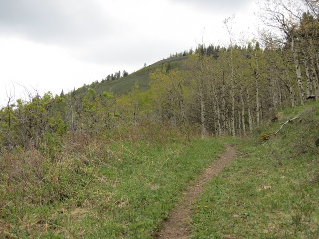
This section of Eagle Hill trail goes up and over a small ridge.
This faint junction is easily missed. Go left here.
We join the alternate route coming in from the left, which we will take on the way back.
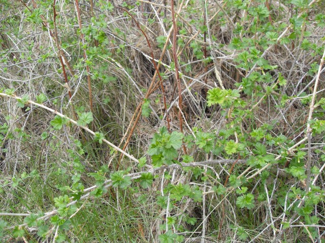
This is a Currant or Gooseberry bush – they are related species and all their fruit is edible with some better tasting than others.
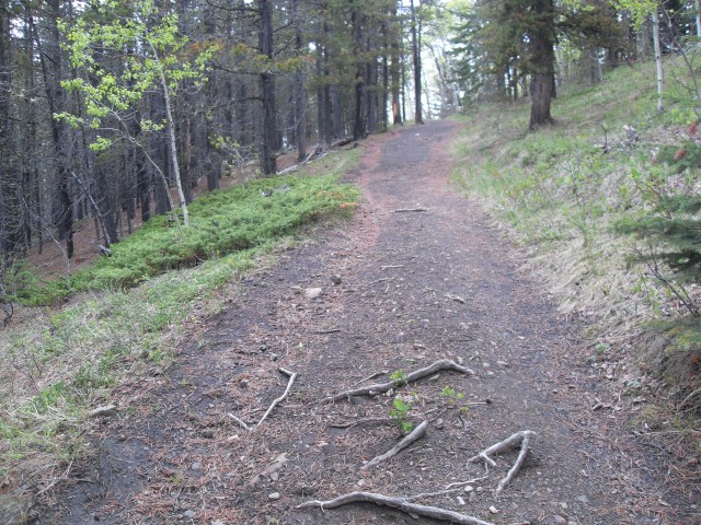
Some sections of the trail are wide and well drained.
Other sections are faint and grassed over.
Still others are wet and muddy.
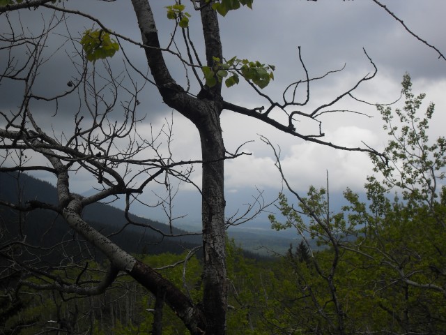
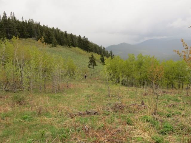
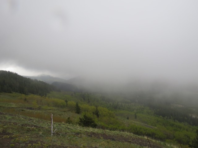
The trees thin and we finally get some views (shortly ruined by clouds).
Eagle Hill, in back, comes into view.
Looking back at the route we came up.
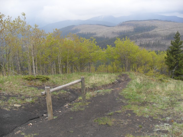
Eagle Hill is a multi-use trail (hike, bike, equestrian). Note the ugly cut blocks in back.
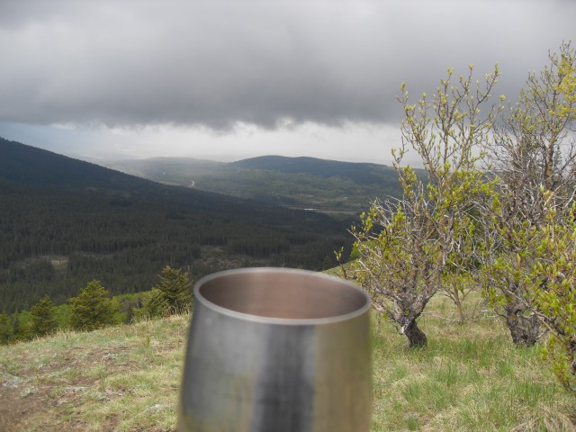
Enjoying wine, as we do on every hike. The view here is roughly southwest.
The fog rolls in. Any views we had are gone and it would rain the rest of the day.
Then the hail starts…
Heading back – the route down stays to the right of the evergreens.
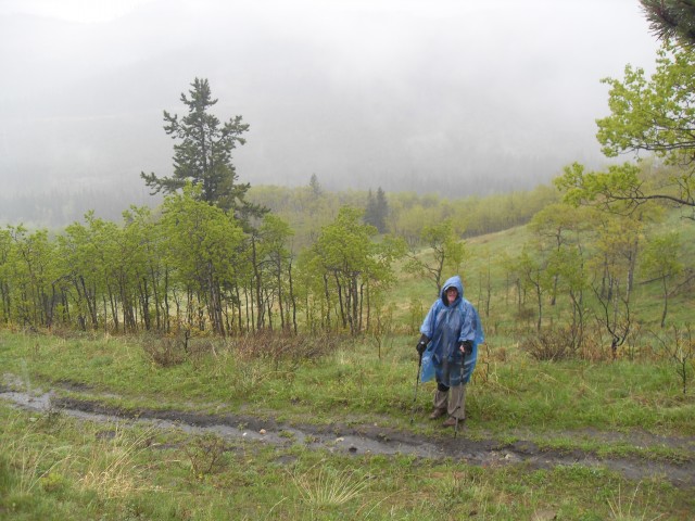
We always carry a couple of those throw away ponchos for just such an occasion.
The trail becomes a stream.
Remember this junction? On the route in we came from the left but on the way back we’ll go right.
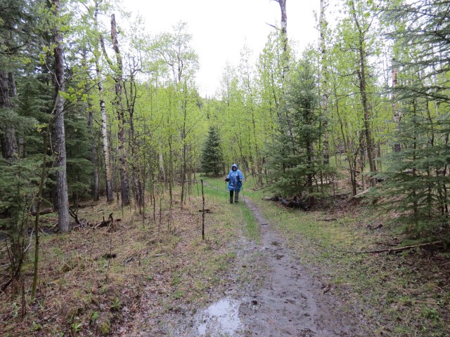
Connie is fashionable in bright blue.
A new bypass heads up and left although you could still take the lower trail on the right if you wish.
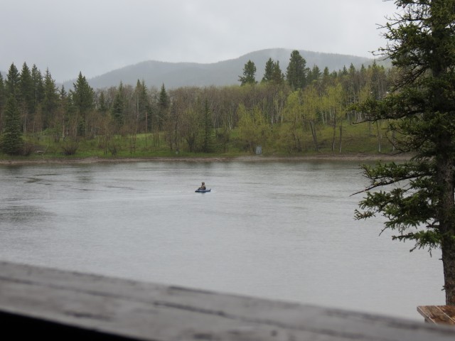
Back at the car. In spite of the relentless rain, there were lots of fishermen on Sibbald Lake.


")


How do you guys find the time to do all this?
I wonder some times!
Great photos Chris and Connie! I’ve done this hike and you make it sound so easy. For my husband and I it seemed like a mountain! Gorgeous places! Keep it up!
It’s all relative. The first time we did Eagle Hill it was much harder than it was this time. Either it’s getting smaller or we are simply getting stronger. Keep it up and you’ll soon be able march right up a hill of that size. Thanks for commenting.