Kananaskis is a mess!
Here are some pictures from our attempt on Wind Ridge. It’s a hike in Kananaskis I’ve been looking forward to for some time, but we missed our mark when an errant turn sent us astray. No big deal and we’ve gotten off track before and will likely do so again – it’s the nature of what we do. Instead of us triumphantly summiting, we wandered aimless in the forest below the ridge, picking wild strawberries and raspberries as we went.
This foreshortened trip however allowed us to study some of the damage brought about by the record breaking floods that ravaged the area in late June 2013. Heavy rains and melting snow pack unleashed a wallop. Streams became rivers, cutting new paths through the forest, uprooting countless trees and moving giant boulders. Waterways that most years were a trickle, were for a few wild days, raging torrents.
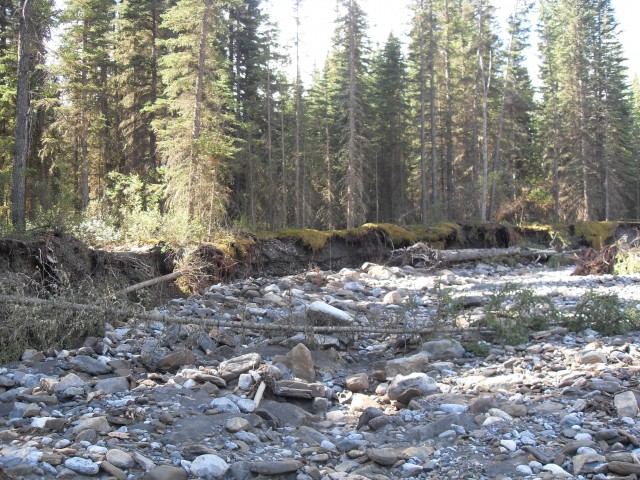
Case in point, Pigeon Creek. Normally one can almost hop across it and I guess you can do so again now that the water has receded. Only now one must also negotiate a mine field of rocks and mud, jumbles of trees and undercut banks that were not there before. At its peak, the creek unleashed a wall of water taking everything in its path with it.
There was a foot bridge here…once…now long gone and swept away, presumably smashed into tiny bits.
The mess is unbelievable and the scars will last for decades.
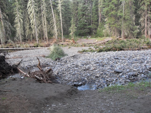
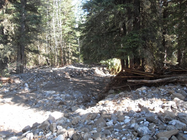
Not far away is an equally minor stream, West Wind Creek. It too shows damage from the flood and in fact it was so bad, that the water overflowed its banks, turning the entire forest nearby into a stream bed. Mud and rock was deposited everywhere and the trail badly damaged. In fact it disappeared altogether under the mass of debris that was deposited here.
It’s at this point we made the wrong turn.
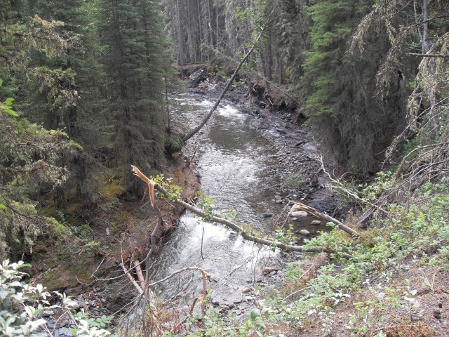
Following this wrong route, the trail is a rock strewn mess, making for hard travel. It’s hard to believe that was a road! Not long after it heads up a small hill and along here some of the bank has slumped into the creek far below.
All through the forest one can see evidence of water, where temporary rivulets cut down through the moss and earth, to the rocks below. They existed for only a short while, but left their mark.
Not only did the storm pack rains, they also unleashed some powerful winds, which did their own damage knocking down countless trees. The whole forest is a sad scene of devastation and destruction and it’ll be a long time before the scars heal.
In spite of not making our objective – actually we did not even get close and by the time I discovered that, time had run out. We still had fun though, as we always do. In the forest most of the time, we still had occasional views of the mountains that surrounded us. The mighty Mt Lougheed is by far the most prominent in the area. Two mountains we’ve been up, Pigeon Mountain and Windtower were also seen.
The section of Kananaskis was by no means the only one hit by rain and flooding and most of the southern half of the province was affected. So many lives were impacted and it’s an event no one will soon forget.
We have plans to return to Wind Ridge, now knowing where we went wrong. Yup, we’ll be back.
To see what the floods did to a train bridge in Calgary, click the link below…
Collapsed Bonnybrook train bridge.
If you wish more information, by all means contact us!
Date of adventure: July, 2013.
Location: Bow River area Kananaskis.
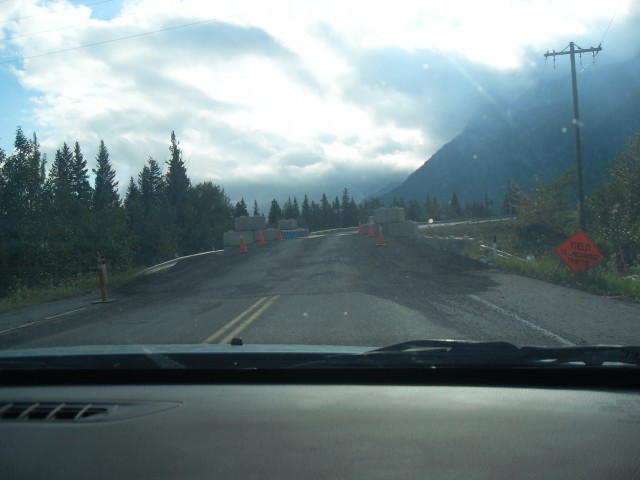
Crossing flood damaged Pigeon Creek bridge at Dead Man’s Flats.
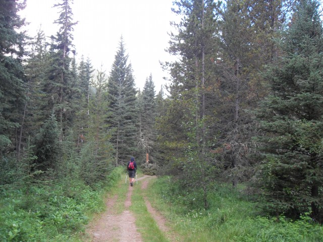
Our goal this day was Wind Ridge.
Pigeon Creek – there used to be a foot bridge here.
West Wind Creek is the next crossing and it’s badly damaged by floods too.
Believe it or not, this is the trail. The nearby creek broke its banks and flowed through here.
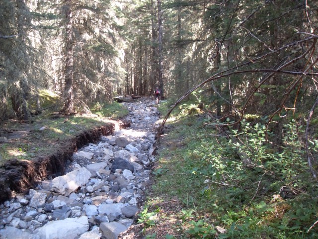
The trail was (is) an old road and was badly chewed up by flooding. It looks like a river bed.
Flood damage from above.
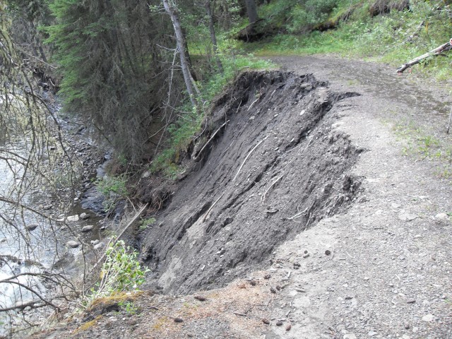
This section of the trail has slumped into the creek below.
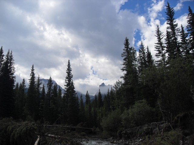
The summit of Windtower (centre) peeks out of the clouds. West Wind Creek damage in front.
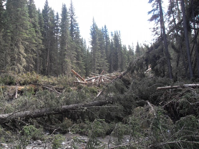
Rarely more than a trickle, Pigeon Creek was for a short period a raging torrent, knocking all this timber down.
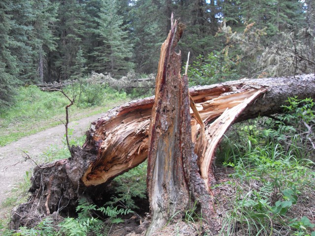
In addition to rain by the bucket full, the storm brought winds and many trees were blown over.
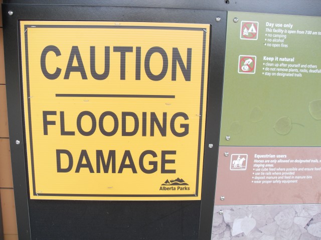
A sign at the trailhead.


")


Hello Chris, I just stumbled on your site and compliment you on all the work you have put into it. I have hiked Wind Ridge a time or two, and it is a most enjoyable hike, so I hope you get a chance to try it again soon.
I loved hiking Wind Ridge! It took us two tries to find the trail (messed up due to flooding) but it was worth it. Thanks for posting!
Thanks for sharing this–I don’t think people realize how much damage there. It’s going to take time to fix it.
So true. What’s funny (we’ll not haha funny) is that the damage we’ve documented is nothing compared to pictures of other places in K Country we’ve seen. Some look like moon-scapes.
Wowzers!!! Those little creeks did that?
Yeah, amazing isn’t it?