High Noon Hills
The High Noon Hills hiking trail is short, easy and quite pleasant. The trail follows a low undulating ridge through lovely meadows and forests, to a nice viewpoint on a grassy bluff overlooking the Long Prairie Creek valley.
Located not far from the Kananaskis Country boundary, it’s one the first trails available to the hiker. It can be done pretty much all year round too since snow fall in the area is sometimes spotty. Regardless of when you visit, it’s a good choice when you are short on time or not feeling particularly ambitious. Or if you do like we did – do two short trails in one day, making this one of them.
Parking for the trailhead is on the north side of the highway at a small pullout a couple kilometres after the Kananaskis boundary. There is room for a couple cars.
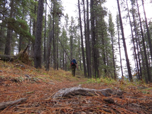
The trail starts opposite the parking spot. After climbing a small embankment, almost immediately we pass through a fence making a hard left turn right after. The trial is obvious, but sometimes faint and for the most part heads in a roughly southeasterly direction.
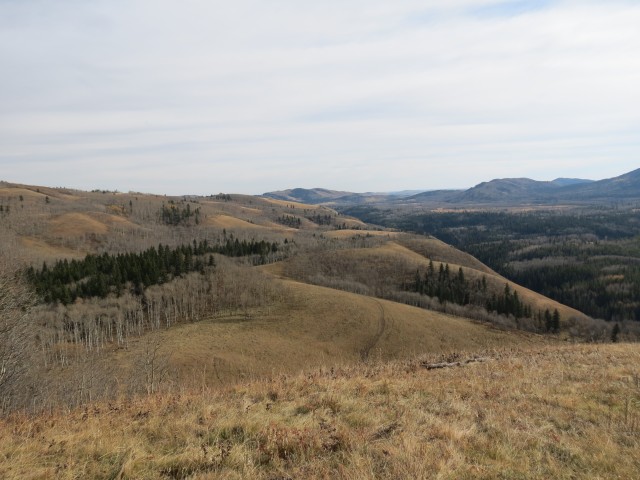
Passing through a meadow, the trail gains most of its elevation here. It’s so gentle though that it almost goes unnoticed (120m is not much after all). At a faint junction head left into the trees. The trail follows a broad rolling ridge, sometimes in Pine forests, other times in Aspen meadows. The going is pleasant and never steep or challenging. Overall it’s a pleasant stroll.
This is cattle country and in the summer you may have to share the trail with cows – keep watch for patties underfoot.
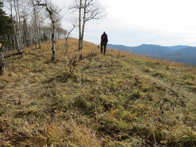
Breaking out of the trees, we find ourselves on a broad open summit. In spite of the modest elevation, the views are surprisingly good. To the west, lots of rolling hills and ridges extend off in the distance, including Windy Point Ridge, which is the first trail we did earlier this same day.
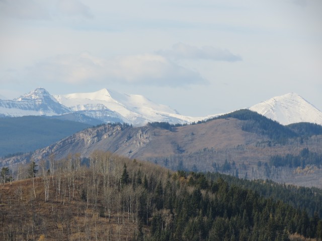
Too far away to really see well are the front range peaks all covered in snow.
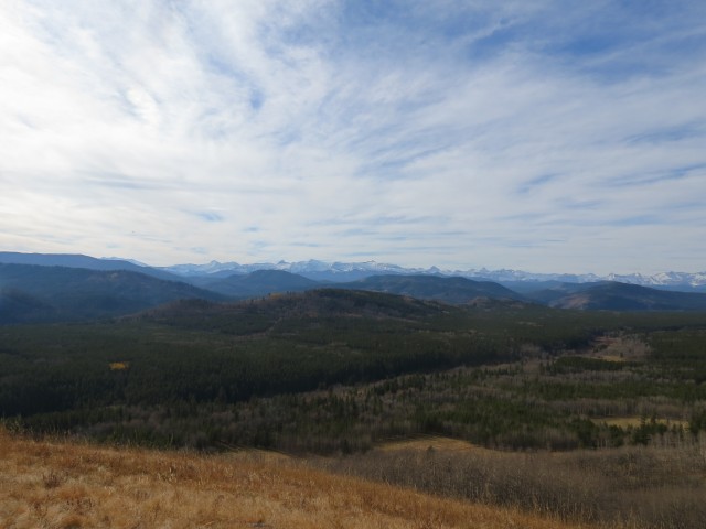
To the south there are more ridges and hills which are either nameless or whose names are unknown to us. To the east, low hills transition into the prairies. The Kananaskis boundary is only a few hundred metres away ay this point.
The valley immediately below is home to Long Prairie Creek. Not far away, but hard to see because of the forest, is the Sheep River. Next to an old road, a collapsing cabin can be seen in the west. I took some pictures of it but they did not turn out well.
To the northeast and partially obscured by trees are the buildings of the Anchor D Ranch. The company offers trail rides for those craving a real western experience and you may bump into people on horseback coming in from there.
If you wish to go further you can continue on by dropping down the slope, intercepting an obvious trail lower down – in fact you can see it from the view point. Many loops and extensions are possible and there are a maze of trails in the area that could keep one busy for a long time. We made this spot our turn around point however and headed back the same way we came – but not after soaking up the views for a time.
Along the way back we found an old leg bone and I had some fun throwing it up in the air, an homage to the film 2001, a Space Odyssey. I’m easily amused.
Before long, we’re back at the car. It was not the most exiting trail, nor was it physically challenging, but in spite of this it was still a great outing. We recommend it.
The trail to High Noon Hills is a fairly new one, only appearing in the most recent Kananaskis trail guide. I suspect it will become more popular with time. The hills are named after the nearby High Noon Ranch.
The Foran Grade trail we spoke of earlier is another popular hike in the area and to see a report we did on it, click the link below…
Foran Grade – an easy trail with rewarding views.
To see some other trails in the area, go here…
Sandy McNabb XC ski trails to Pine Ridge.
Volcano Ridge (almost).
Mount Hoffmann.
If you wish more information on this trail, by all means contact us!
Date of adventure: October, 2013.
Location: Kananaskis, Sheep River area.
Distance: 3km out and back.
Height gain maximum: 120m
Height gain cumulative: 140m
NOTE: all heights and distances are approximate.
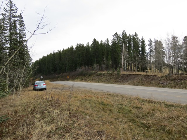
The High Noon Hills trailhead.
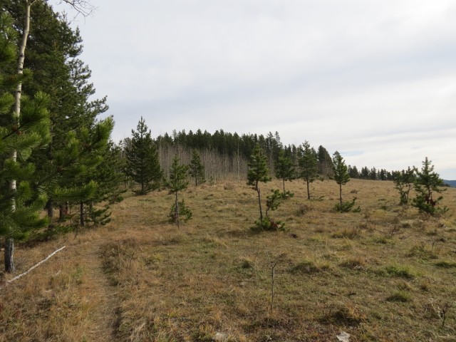
We pass through a meadow.
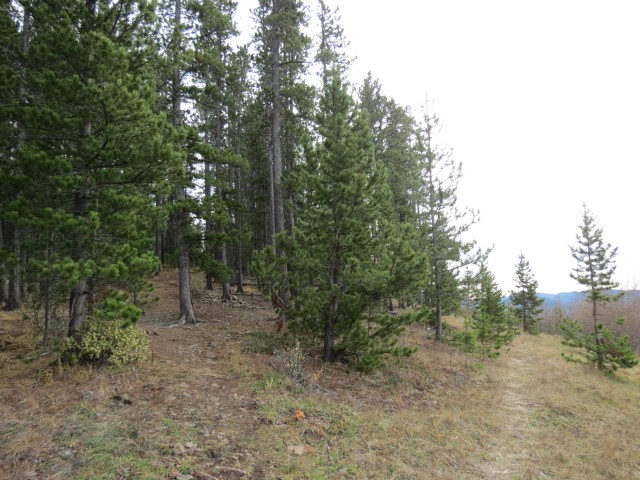
At this faint junction head left into the trees.
A pleasant stroll…
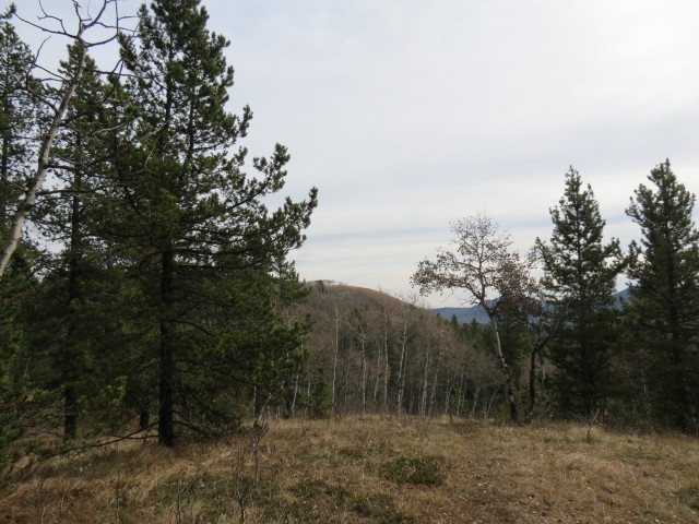
The bare hill in the background is our destination.
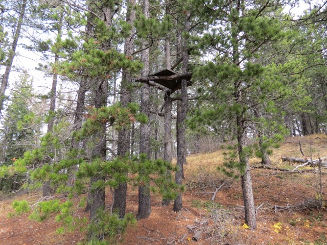
A hunter’s platform.
Nearing the view point.
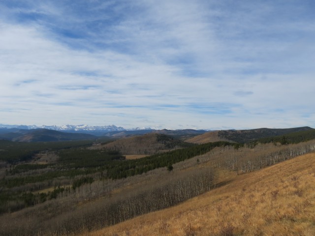
Rolling hills and ridges to the west. The big mountains are still a way off.
The grassy hill midground is Windy Point Ridge, which we summited early this same day.
Looking roughly southwest.
The view to the southeast.
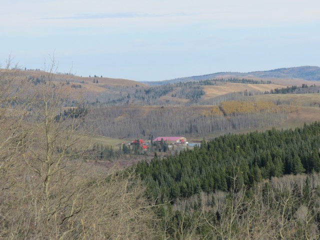
The Anchor D Ranch at the border with Kananaskis.

Enjoying the High Noon Hills.
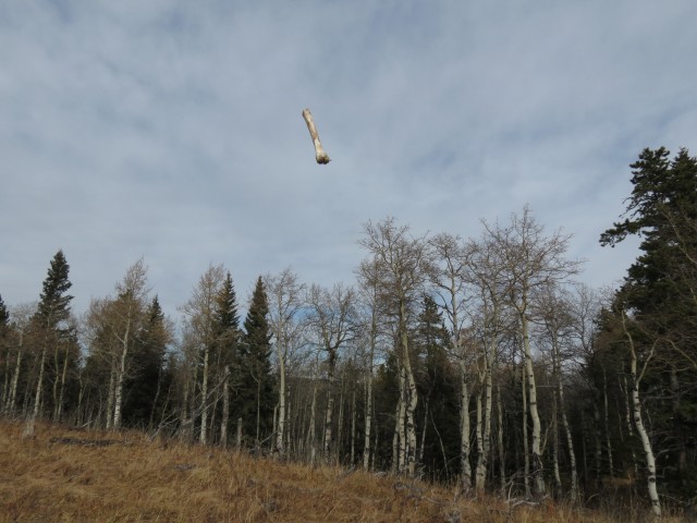
An homage to the film 2001, A Space Odyssey.


My first hike this year.
Is the lack of snow something else? Hope you had fun!