
Powderface Ridge
This was not our first trip up Powderface Ridge this year, Earlier in the spring we hiked it, but a thick fog prevented us from seeing anything once at the summit. What a bummer, as we heard the views were stupendous. Even before we finished that first trip, we vowed to return. With blue skies foretasted this wonderful fall day, we felt the time was right for another stab at it. This day was near perfect and we had a blast!
On this latest visit we not only took in the summit but also two outliers, or high points, on the ridge’s south end (on the way down).
The trailhead for this adventure is at the end of Highway 66 near the Little Elbow Campground. Park at the side of the road just before the pavement ends and follow the obvious path heading up and right into the trees.
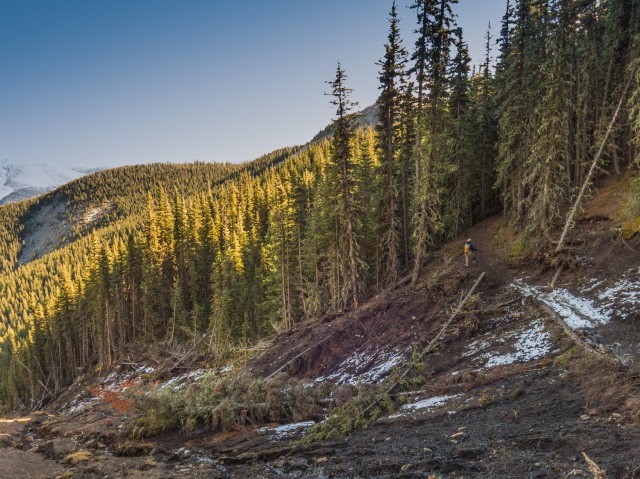
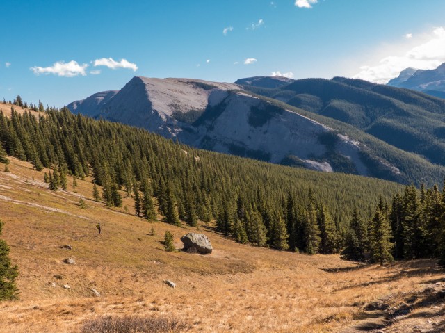
Until a col is reached, so most of the way up, the trail heads up fairly steeply without so much as a break. For a time, trees are all you’ll see. Later on though you’ll pass through some grassy meadows. This up section is fairly rocky in places with the occasional loose bits here and there.
When the trail tops out at a saddle, take the path heading left into the woods. As a side trip, climb the the bare bump to the right for some good views. It’s not much work. We’ll visit it on the way down.
For the next while you’ll traverses the east face of Powderface Ridge a little below the crest. The trail has got a a bit of a roller coaster profile and so you’ll drop down here and there and head up here and there, many times over. There are a few flat sections thrown in for good measure. Some parts are muddy.
Part way in, a large slump is passed where a section of hillside gave way (spring 2013). A new trail has formed across the mess.
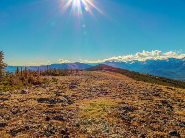
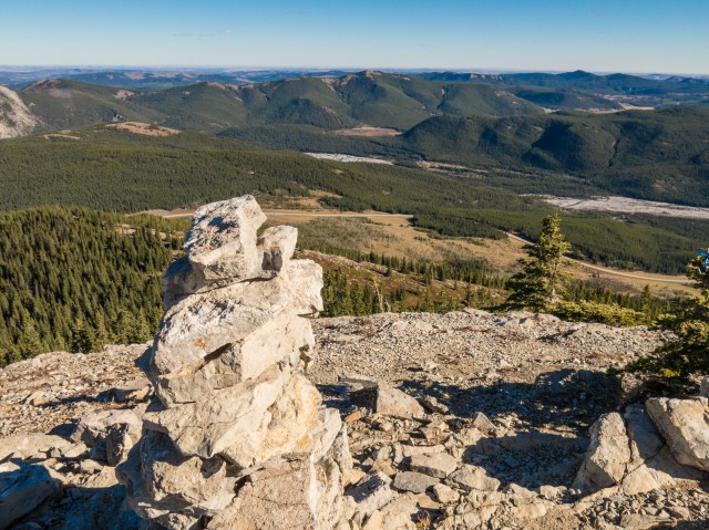
In pretty much no time you’re at the top. Step out of the trees onto a broad flat and mostly featureless ridge crest. The actual summit is hard to determine, but I think it’s one of the small bumps just to the north. Take the time to explore this wonderful place – you can head both north or south for quite a distance without loosing any real elevation.
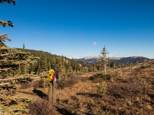
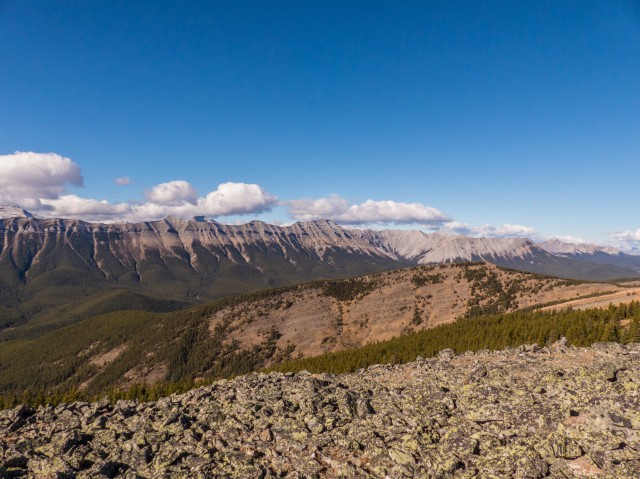
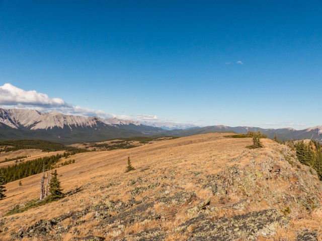
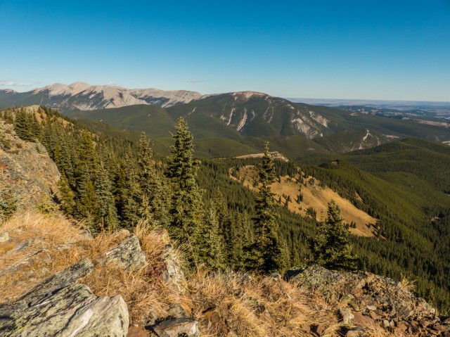
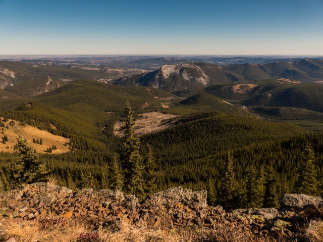
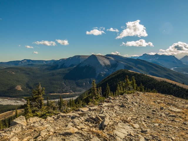
Now take in the views, they are simply amazing. To the west, a wall of rock called Nihahi Ridge stretches off to the right. Later it connects with Compression Ridge further on. Almost directly north is Jumpingpound Mountain and in behind a bit, Cox Hill. To the east are Moose Mountain and Prairie Mountain, two places we’ve been up before (Prairie Mountain twice). In the southeast are many rolling hills and ridges, the most prominent one called – depending on the source – Iyarhe Ipan (Stoney First Nation’s language) or Quirk Ridge. I’m confused since there is a lot of contradictory information on this modest bump. Anyway…
Directly south is Forgetmenot Ridge (sometimes Forget-me-not Ridge), another place we’ve been up. Large barren peaks seen in the southwest include Mounts Glasgow, Cornwall and Banded Peak. Highway 66 can be seen below at many points as can the Elbow River which is Calgary’s water supply.
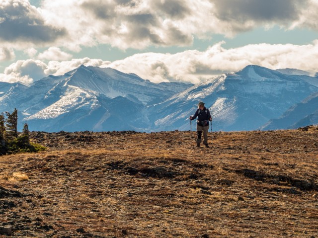
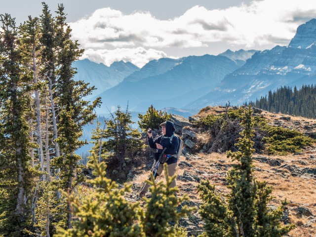
I’ve been told the summit of Powderface Ridge is often a windy place and it did not disappoint this day. In fact the gusts were sometimes so strong that it was often hard to stand. You’ll notice that a few gnarled and stunted trees grow in this very harsh environment, I can’t even image what it’s like in winter.
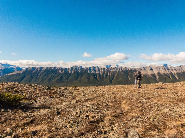
On the way back down we took time to visit that one high point we spoke of earlier. The views were good and somewhat different when compared to the true summit. Lower down, we flanked another outlier to examine a couple very larger boulders. I love rocks. Strange, yes.
The rest of our trip down was uneventful.
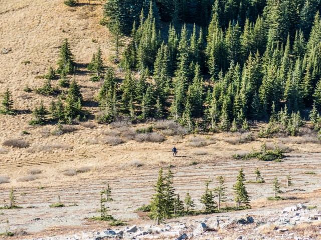
This is a fairly popular trail but it’s stretched out enough that crowding does not appear to be a problem. We passed perhaps several dozen people in total, including a small girl, maybe four or five years old, who incredibly was able to trudge up and down the trail all on her own. We saw her at the summit! By the way, it appears that a lot of people turn back at that one outlier.
The Powderface Ridge trail is also used by mountain bikers. Expert mountain biker’s I’d say – but we saw none this day. With it being so steep and rocky it must be a real challenge. I guess equestrian riders also visit here, based on the horse poop we saw.
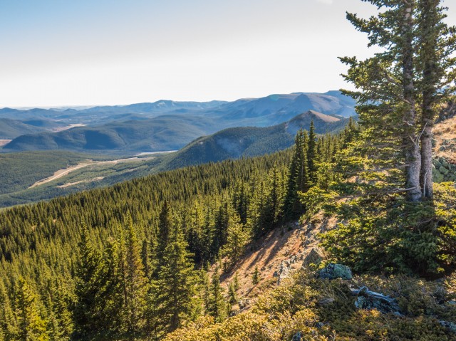
There are options to continue north up the ridge if you wish. After dropping down you’ll intercept the Powderface Creek Trail which can take you to Highway 66 or the Powderface Trail gravel road if you so wish. But then where do you go? Hike back along the road? No way! Bike back? Workable. Arrange a ride or use two cars? That’s best.
This is an official trail so it’s marked, although the way is always clear anyway. This status also means that deadfall (always a problem), gets cleared periodically.
The name Powderface is taken from a First Nation’s fellow that once lived in the area.
To see our first visit here, follow this link…
Powderface Ridge
Check out these wonderful hikes…
Amazing Burstall Pass.
Grotto Canyon.
Lake Minnewanka.
If you wish more information on this trail, by all means contact us!
Date of adventure: October, 2014.
Location: Elbow River area, Kananaskis, AB.
Distance: 15km out and back.
Height gain maximum: 610m (last trip said 640 – Powderface Ridge is shrinking).
Height gain cumulative: 760m (estimated).
NOTE: all heights and distances are approximate.
Reference: Kananaskis Trail Guides by the Dafferns.
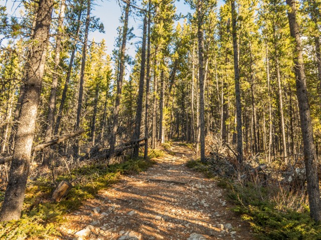
A pretty typical view on the way up.
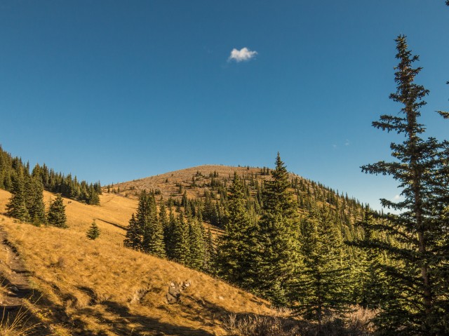
We break out into a meadow.
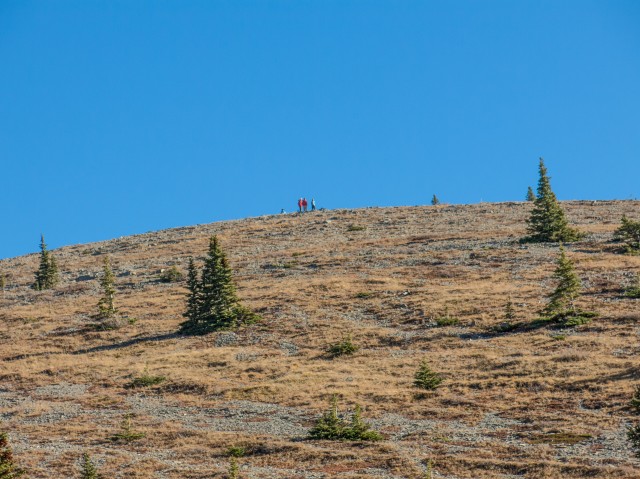
Some people on the southern high point, which we’ll visit later.
At a col, the trail soon plunges back into the trees.
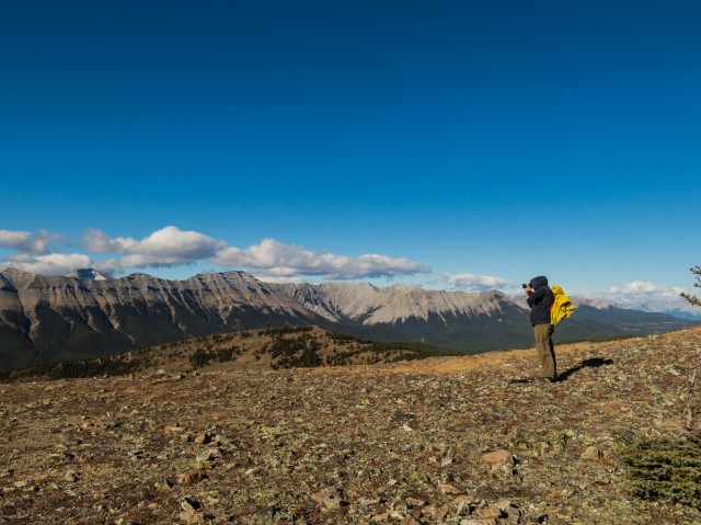
Your’s truly on the windy summit.
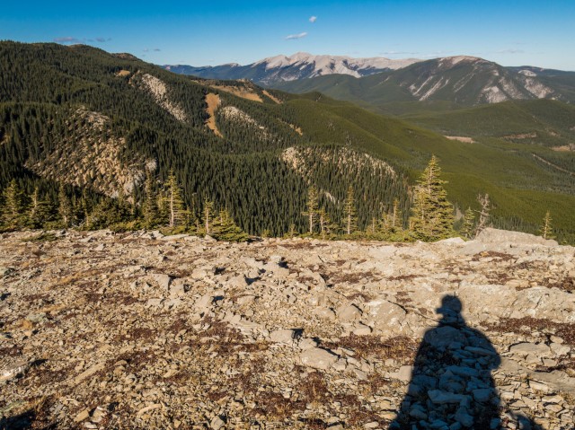
Looking south.
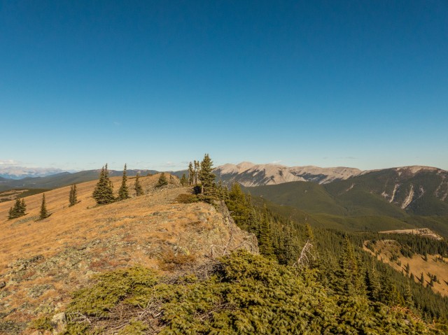
The ridge top is broad and flat.
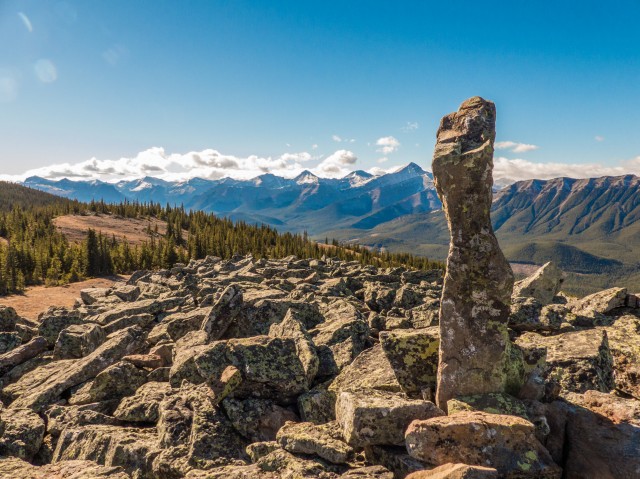
Nihahi Ridge in back.
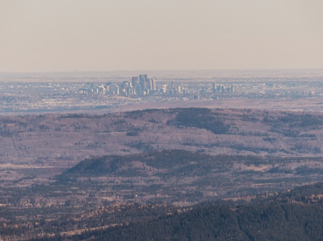
Calgary, some distance off.
Summits to the left of the rock include Mt Glasgow and Banded Peak.
Compression Ridge far right.
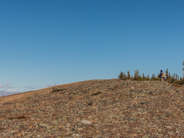
The featureless ridge top.
Connie follows behind.
Moose Mountain in back.
Looking north.
Prairie Mountain, just right of centre.
Iyarhe Ipan, sometimes called Quirk Ridge, middle background.
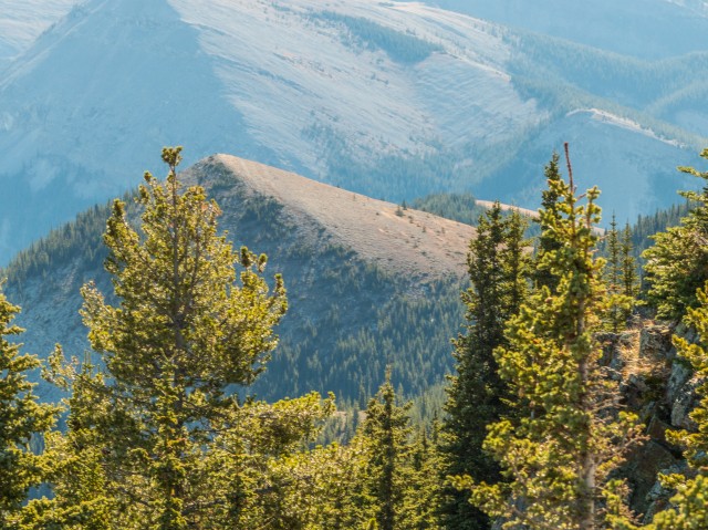
Our summit is a modest one when compared to those in back.
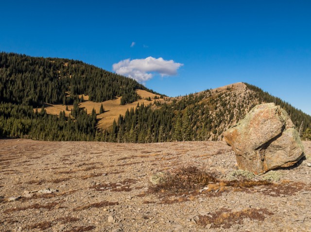
The outlier, or high point, our next destination.
The ridge top is mostly open save for a few trees.
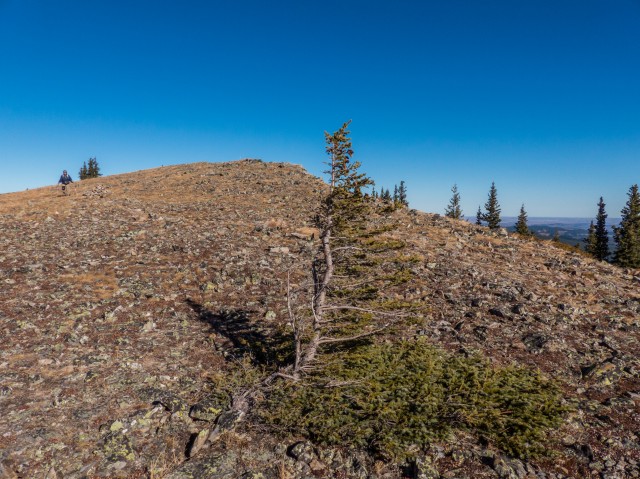
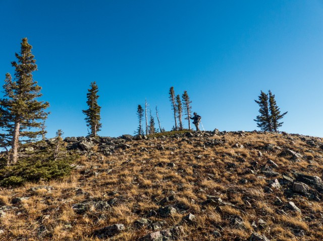
A weather beaten spruce.
A large slump on the trail.
On the southern high point.
Looking down at Connie.
Highway 66 can be seen below.
Enjoying the views.
Me on the top of the southern high point.
A large rock and the outlier we just visited.
I head to another big boulder.
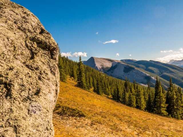
Forgetmenot Ridge in back.
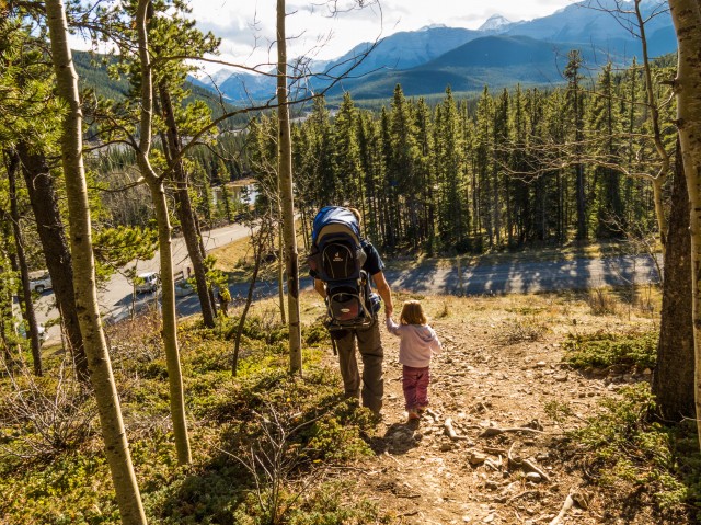
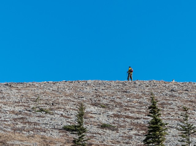
Hikers come in all sizes…
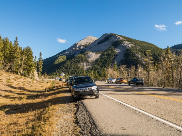
Parking at the trailhead – you can see how popular Powderface Ridge is.
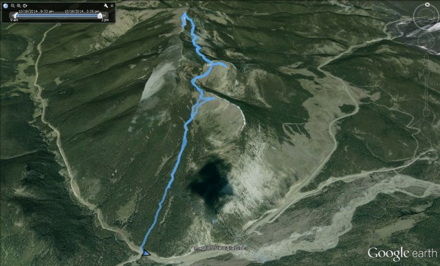
Our route…


")


I’ve ridden horse up there, the most beautiful scenery!
It’s a wonderful place.
I have to come with you two on a trip. You know all the best hikes!
We know a few good places…
Fantastic photos, very beautiful.
I was “blown away” by Powderface Ridge.
A nice beer-worthy view!
I’ll have beer next time in your honour.