
Moose Mountain
The summit of Moose Mountain is a popular spot. It’s close to Calgary and there is an easy trail to the top. And instead of starting from the bottom you get to drive half way up (cheating perhaps?)! From this elevated parking spot gaining the summit is super easy, not much work at all, and because of the ease in getting there and great views from the summit, I guess this explains the mountain’s popularity.
The trail could not be more simple. Just stay on the old horse trail and follow it and the endless stream of hikers to the top. You can not go wrong.
The parking spot for the trail is located at the top of Moose Mountain Road near a natural gas compressor station. The trail is located at the south end of the lot, something we initially missed (oops we went the wrong way) Starting off the trail is wide and well drained and flat here. Before long however the trail dips down, something we’ll hate on the way back. On levelling out again a side trail comes in from the right – this is the Moose Packers Trail (or simply Moosepackers) the original route in from Bragg Creek.
Staying level now the trail hugs an open side ridge and there are clear views of your objective on your left. When the trail turns left it heads up again and breaks out of the trees at the Moose Mountain meadows. They filmed portions of the movie Brokeback Mountain here with this spot doubling for its namesake in the movie.
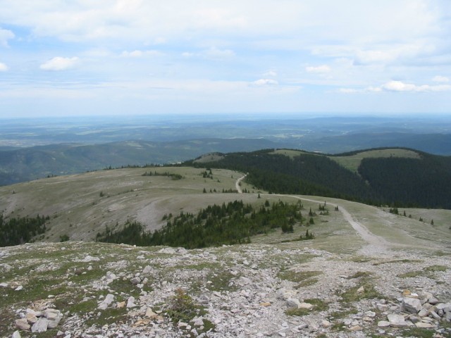
The bump you see ahead of is Moose Dome with its very obvious zig zag road heading up the side. Take these switchbacks or you can attack the slope head on, what ever you wish. The dome, as I understand it, is a giant natural gas reservoir. Sort of like an upside down bowl holding the gas in. On various flanks of the mountain and in the area you can see a number of wells and gas plants. Including one at your parking spot.
After topping Moose Dome simply follow a small connecting ridge to the lookout trail on the mountain proper. Here the wider horse trail transitions into a narrower foot path, sometimes taking what looks to be an airy path along the scree slopes below the summit. It’s not as bad as it looks and the going is easy. It’s at this point (in the old days), they ditched the horses and continued on foot.
It’s here where our pictures end and for some reason the next few dozen images were blank. No problem you still get an idea of the trail and while the views from the lookout are better, the ones from the dome aren’t so bad either. The lookout is manned and now instead of horses bringing supplies up, a helicopter does it.
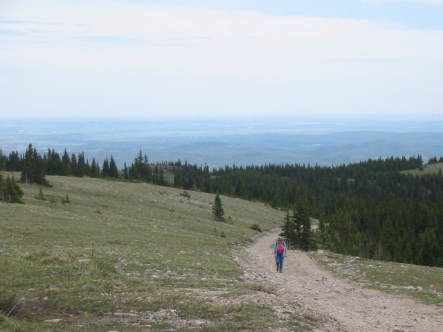
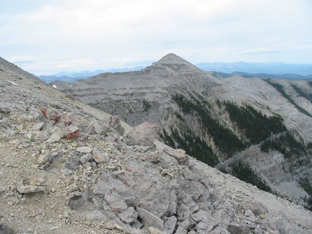
From our lofty perch we have clear views of Prairie Mountain to the south and a little to its west, Forgetmenot Ridge (aka Forget me not Ridge or Forget-me-not Ridge), both of which we have been up. Directly to the west, Jumpingpound Mountain and Cox Hill are the first mountains to be seen below you – actually calling them that is misleading – they are more like really high hills. We’ve been up these ones too. Behind them are larger and more barren limestone peaks. To the north it’s all low ridges and rolling hills, and forests and cutblocks. To the east you can see Bragg Creek and further on, Calgary.
The only bad part on the way back is that hill I mentioned just before the parking spot. Otherwise the route back is all downhill.
On our visit we counted some several dozen people along the trail. Moose Mountain is one of the first peaks in the front ranges and can eaily be seen from Calgary (just look for the zig-zag road).
For those who are ambitious, most of the many ridges off Moose Mountain can be hiked or scrambled.
To see other ridges and mountains we’ve been up, go here…
Carry Ridge.
Jumpingpound Mountain north trail.
If you wish more information on this trail, by all means contact us!
Date of adventure: June 2006.
Location: Kananaskis AB
Distance: 14km return.
Height gain from start: 480m.
Height gain cumulative: 600m.
Technical bits: None.
Notes: This is a busy trail.
Reference: Kananaskis Trail Guides by the Dafferns.
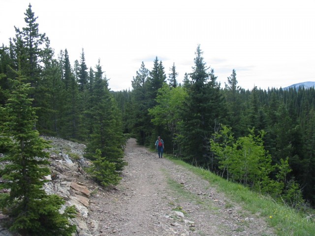
The Moose Mountain route follows an old horse trail and it’s always easy.
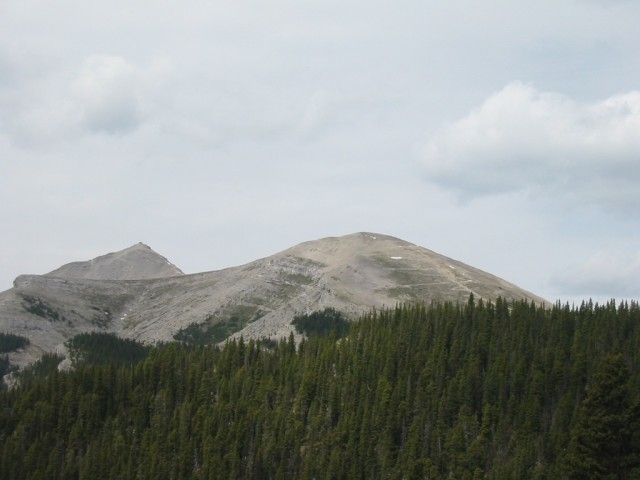
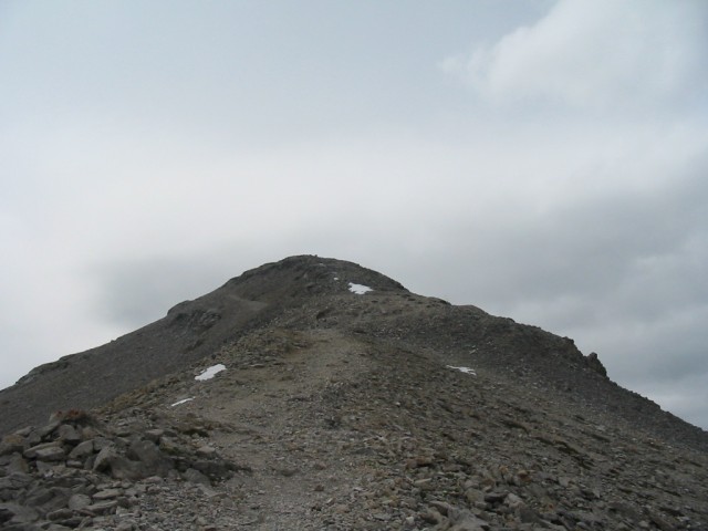
Moose Dome to the right and Moose Mountain and the fire lookout on the left.
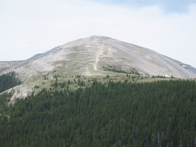
The zig zag road up Moose Dome. The lookout is now hidden behind.
Looking back…
They filmed scenes from the movie Brokeback Mountain in the meadows below.
Rolling hills and ridges to the north.
The north flank of Moose Dome.
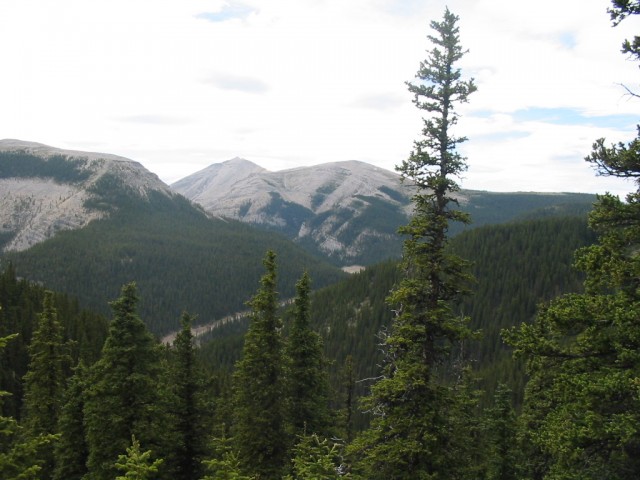
One of the ridges off Moose Mountain.
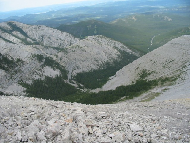
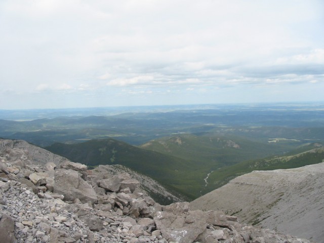
A valley on the north side of Moose Mountain.
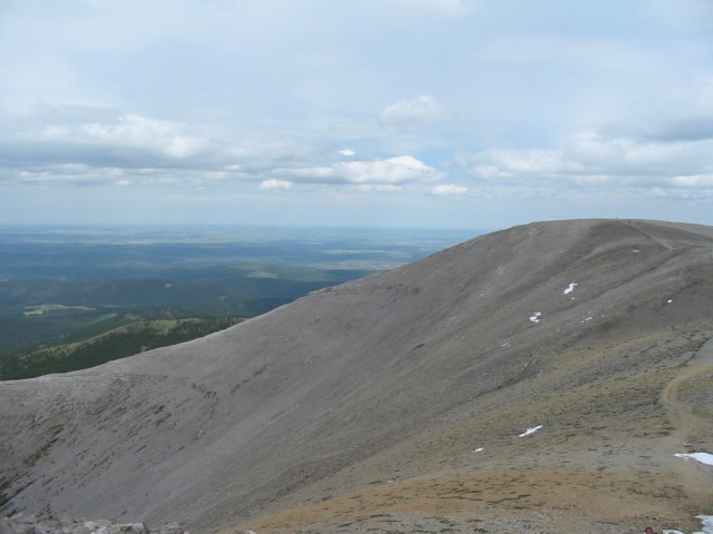
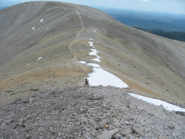
The trail up to the lookout.
Looking back, it’s here (in the old days) where they ditched the horses and continued on foot.
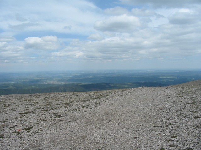
The views east into the prairies.
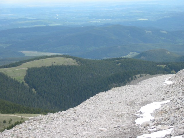
Looking east you can see the trail we came up in places.
One last look from the parking spot.


Our Girl Guide troupe visited here in sometime in the 70s. I remember huffing and puffing and what views!
That must have been fun!!
Loyal readers are difficult to come by, but u have just converted me! Smile.