
Death Valley – Pine Ridge
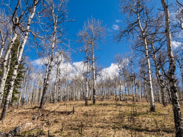
In this early season warm up hike we follow the Death Valley Trail then loop back on the Pine Ridge Trail, where we gain some modest elevation, before dropping back down to our starting point. Our “summit” goal is a long and low undulating hill, Pine Ridge proper. Aligned in a roughly north/south direction, it’s mostly forested, but has a few open areas that afford good views here and there, mostly to the west and east. At this time of year, when many trails are either still snowed in or inaccessible due to road closures, this foothills jaunt allows one a chance to stretch their legs and see some scenery at the same time.
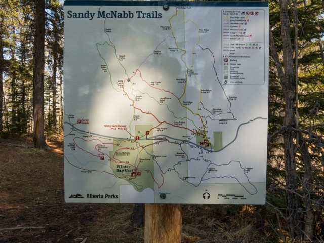
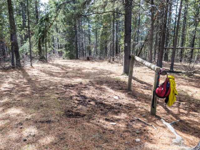
The trail begins just beyond the winter gate at the Sandy McNabb Campground in the Sheep River Valley. Turn right into the woods just past the Gorge Creek road sign. The trail is marked and most junctions are signed – there are many crisscrossing routes in the area and it’d be easy to get turned around. You’ll share the trail with horses, so keep an eye and ear open for approaching riders.
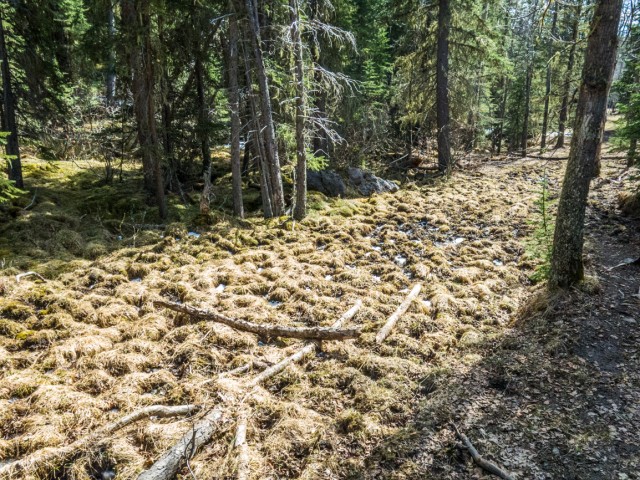
Low lying areas seen this trip can be boggy and mucky in places (with some horse poop thrown in the mix) – actually most of the trail this time of year is wet and somewhat muddy, with few dry sections. Expect to get dirty boots and to slip and slide a bit. This is spring in Alberta.
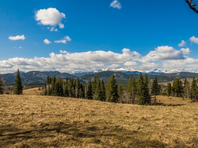
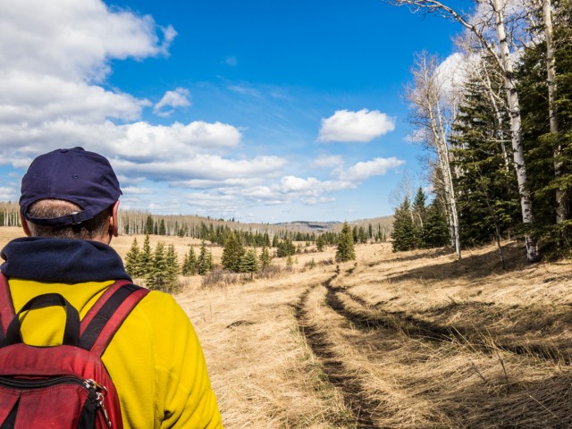
Heading north. the trail stays low for a time, passing through a fence (close the gate). A few junctions are passed, which of course get ignored. Soon the trail heads up passing through an open meadow for a time. The views start and from here were can see roughly southwest-ish. Rolling hills and ridges in that area can be seen and include Mount Dyson, Green Mountain, Mount Hoffmann and directly west is the bare face of Windy Point Ridge. We’re not high enough to see the really big mountains further on.
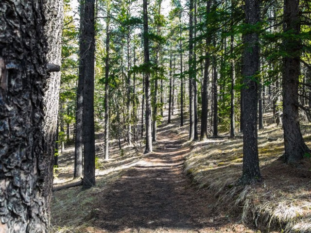
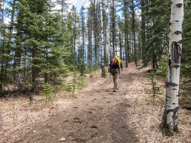
Passing another junction (note, you’ll return using the trail coming in from the right) drop down heading directly north. For the next kilometre or two, the trail sticks to forest, heading up and down a bit as it sees fit. In one or two places are some limited views, otherwise it’s all trees.
Breaking out into a large grassy area we come to Death Valley Creek. Why this odd name is not entirely clear although this author has heard many legends. It’s not a scary place, so don’t worry.
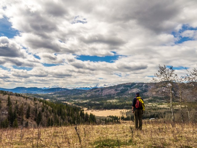
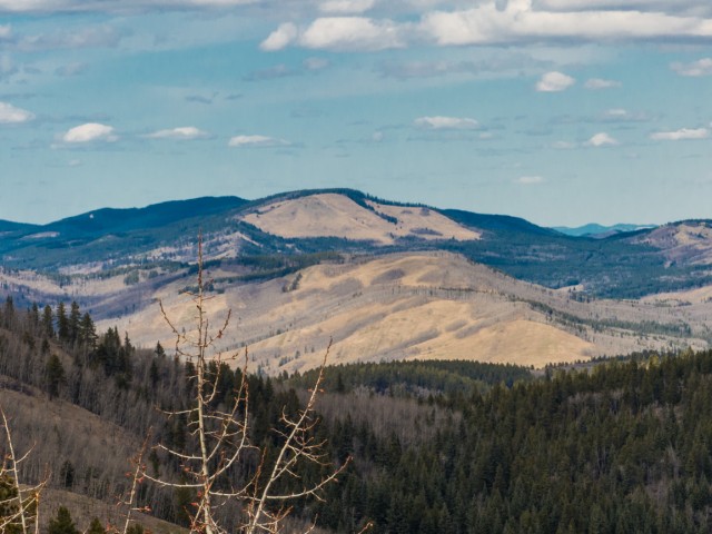
Soon after Pine Ridge Trail comes in from the right and leads upwards and elevation is quickly gained. Occasionally there are breaks in the trees and in places have good views to the west and southwest. Death Valley and its creek can now be seen (not that) far below. Peaks to the west are still snow covered and are too far away to bother discussing in any detail.
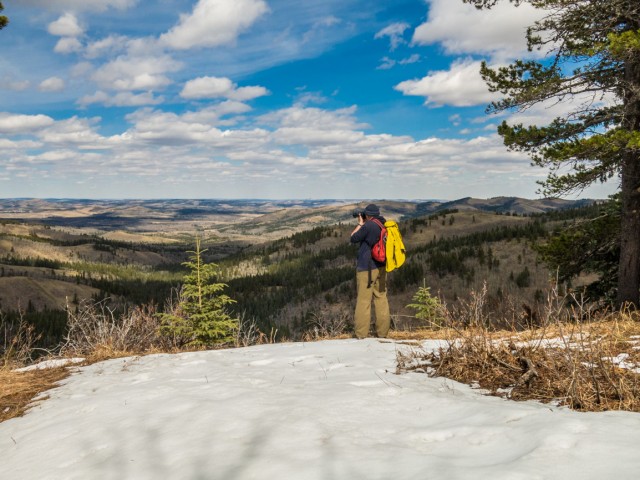
At the edge of an open meadow, we take some time for lunch, chat with some passing horse riders and hikers, and then relax and soak up the views. They’re not spectacular but are the best ones we’ve seen in some time. It’s all good.
We’re still not at the top of Pine Ridge and for the next click or so, we gain elevation in spurts with the occasional level section thrown in for good measure. The views now, when they happen, are to the east and sometimes north. We can see Calgary off in the distance. Directly north is Mesa Butte, the highest hill in the direction. Like our objective, it’s a nice early season hike although we did a few years back at the height of summer. Further east is Carry Ridge, similar in height and length to Pine Ridge and beyond is the prairies.
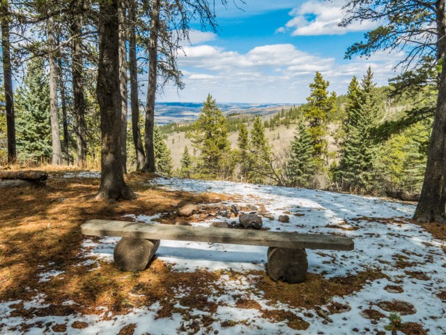
At a junction (viewpoint, hitching post, bench), head right. The section of trail here, officially known as Balsam Link, is wide and pleasant, and mostly dry. At yet another junction, it drops down and before entering a meadow, passes through a very boggy section (low area = boggy area). It then heads up, gently and not for long, before joining up with the Death Valley Trail again.
We turn left and retrace our steps in. Muddy sections seen on the way in have worsened – they were partially frozen earlier, but now have melted and were a slimy wet mess.
We saw only a few people this trek, mostly equestrians users, but a few hikers as well. Most of the trails seen are used in winter by cross-country skiers.
Most of this day we had lovely blue skies. A nice touch to the day.
More hikes you’ll like…
Elbow Valley – Sulphur Springs loop.
Kananaskis Fire Lookout.
Jura Creek.
Spectacular Buller Pass.
If you wish more information on this trail, by all means contact us!
Date of adventure: April, 2015.
Location: Kananaskis, AB.
Distance: 14km round trip.
Height gain maximum: 300m.
Height gain cumulative: 400m.
NOTE: all heights and distances are approximate.
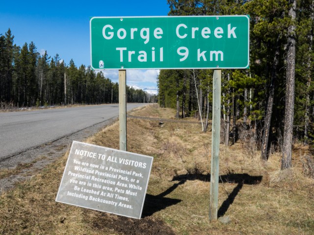
The route starts and can be seen behind this road sign.
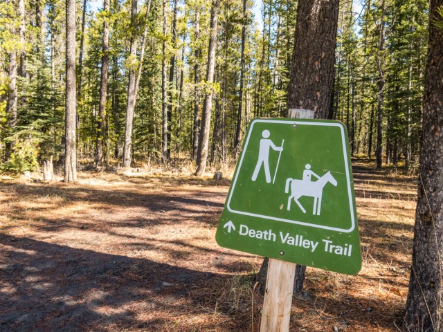
The trail is shared with horses.
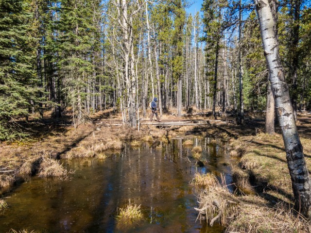
Much of the low lying areas are boggy.
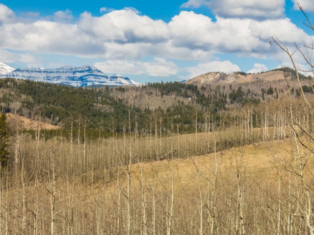
We gain some height – Windy Point Ridge back right.
Many, but not all junctions, are signed.
Low rolling hills in the Sheep River Valley.
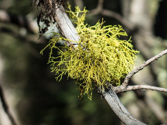
The lichen Old Man’s Beard is common to the area.
A typical view.
A lovely blue sky day in the Alberta Foothills.
We break out of the trees.
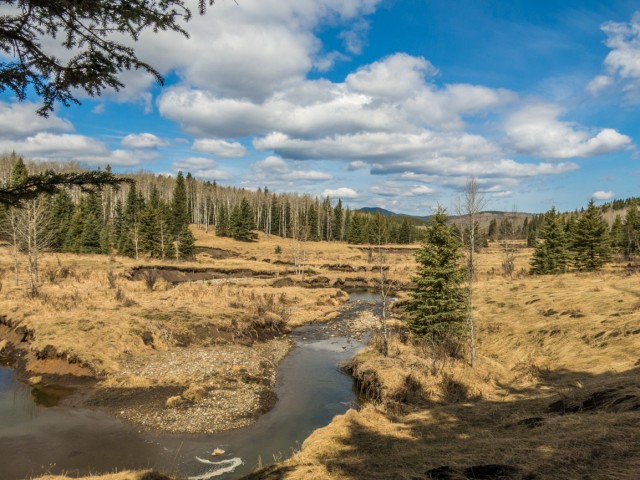
Death Valley Creek.
Heading up Pine Ridge.
Death Valley, which we just visited, can be seen below.
Not a bad view…
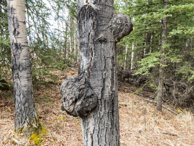
Lots of burls on this tree.
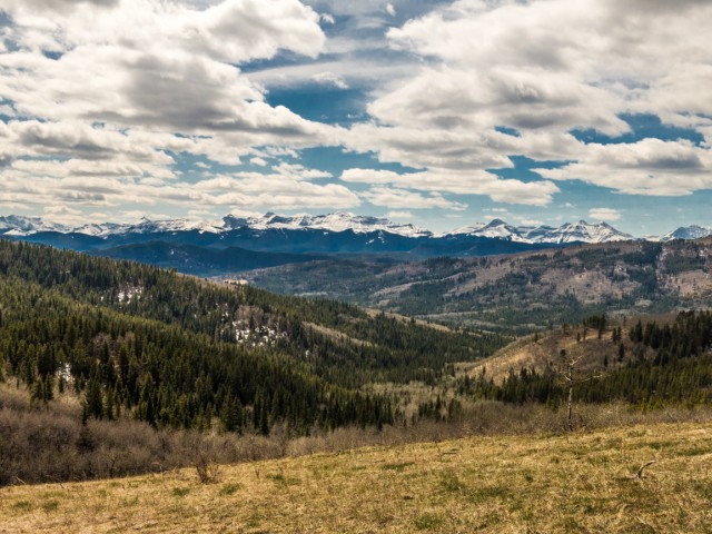
It’s still winter in the high mountains (back).
Nice views to the east.
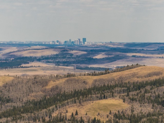
Calgary far off in the distance.
Mesa Butte to the north.
The summit of Pine Ridge.
Hitchin’ post.
A wet boggy section along the Balsam Link trail.
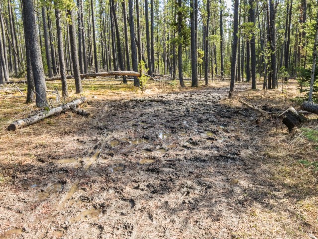
Things got a little muddy…
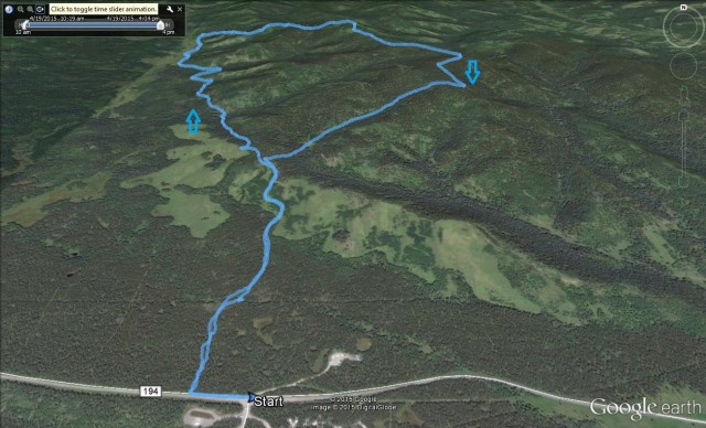
The Death Valley – Pine Ridge route.


")


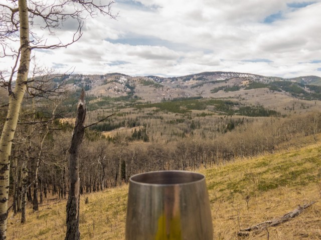
I love your metal wine glasses. Where did you buy them?
Any camping supply place should have them. I guess we’re not the only ones who take wine on the trail.
Nice meeting you on the trail!
Those were some fine horses you were riding. A nice chat on the trail.
Would be a dream to live where you are. So beautiful. We will hike with you some day.
If you’re ever in the area…