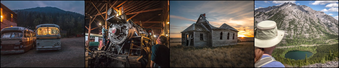
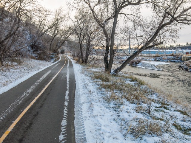
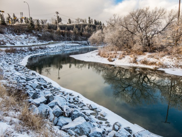
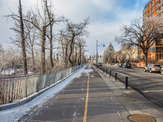
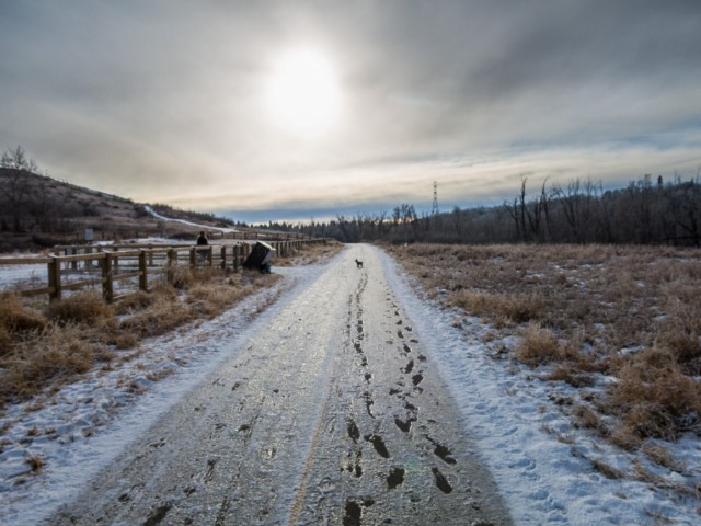
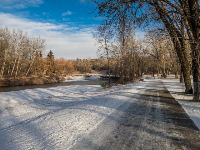
Calgary has an extensive pathway system, covering all corners of the city. It’s one heck of a great resource which we use a lot, especially so in winter, when we can’t always make it to the mountains. These paved lanes head here, there and everywhere, most of them passing through parks, green spaces and the like, affording the urban trekker a huge variety of choices where they can go and what they can see. One rarely has to see the same section twice, keeping it interesting and fresh. Many are plowed if snow should fall.
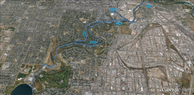
For this urban adventure, we’ll hike up the Elbow River from where it joins the Bow, to the Glenmore Dam, and back down again, a nice 19km “stroll” that you can do too. Some of this route we leave the pathways and take to the streets. To mix it up a bit.
↓ ↓ ↓ ↓ Scroll down for photos and to comment ↓ ↓ ↓ ↓
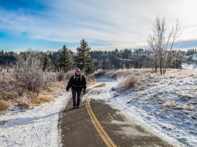
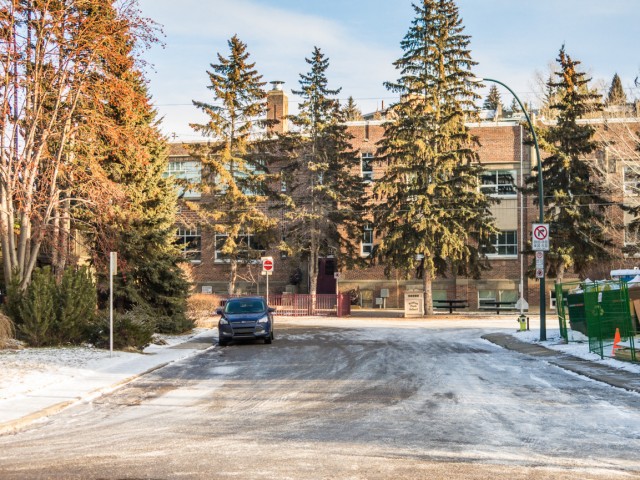
To start, head to the historic community of Inglewood just east of downtown. There is public non-permit parking by the old Alexandria School. Pause for a moment and take in all the near century old houses in the area.
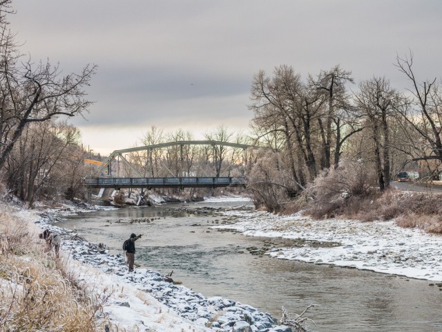
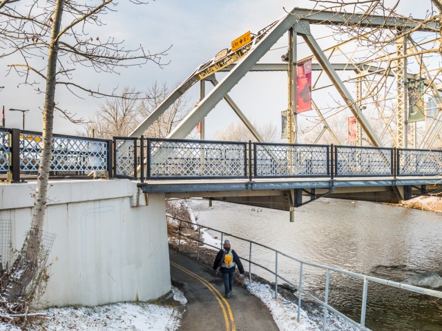
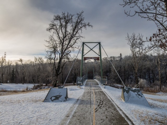
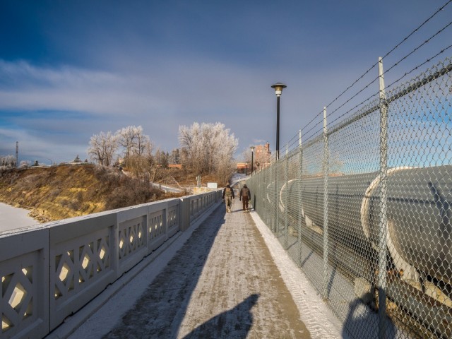
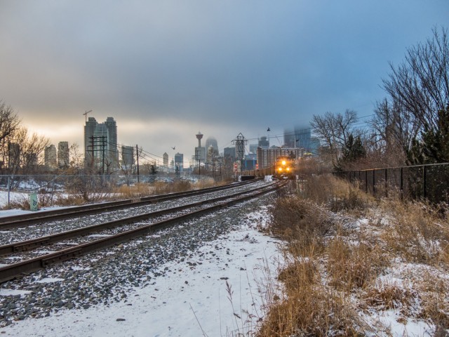
Head west towards the Elbow River and intercept the paved pathway. Turn left, almost immediately hit the 9th Avenue Bridge, a fine old structure that’s over a hundred years old and under threat of being replaced soon (charming Inglewood is being killed by gentrification). Cross the road and get back on the pathway. pass under the CPR tracks, then soon after the MacDonald Avenue Bridge (another historic span) and then enter the Stampede grounds. Look for anglers in the river – yes even in downtown Calgary the fishin’ is good.
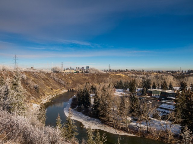
Paralleling the river, Scotsman’s Hill rises steeply above to the left, the top a good (free, hence the name) viewpoint for Stampede events, especially fireworks. That name’s perhaps a wee bit insensitive, no?
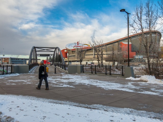
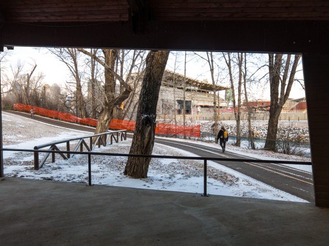
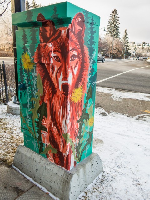
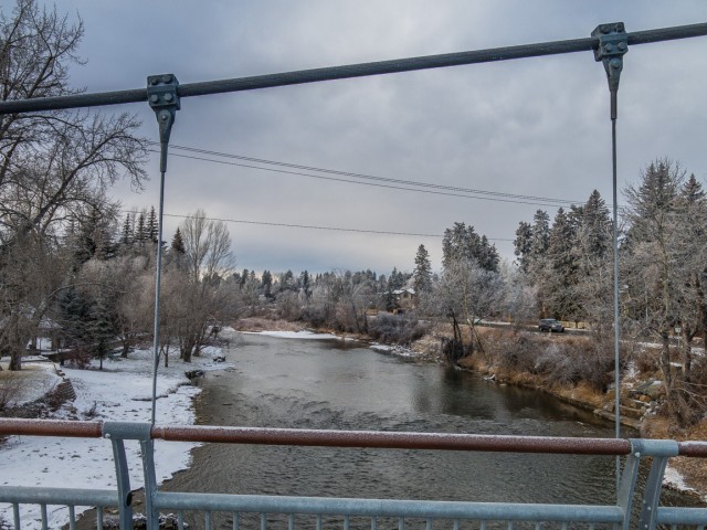
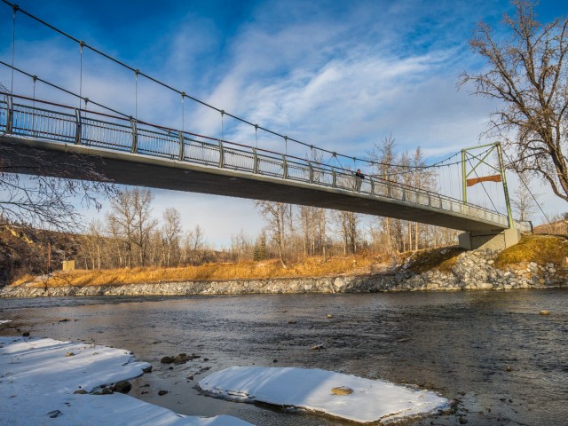
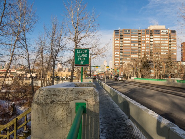
Notice the Saddledome Stadium and the Stampeded Grandstand right across the river. Squeeze past some livestock pens and soon after trend right. Continue on through the Stampede First Nations Village site, duck under busy MacLeod Trail and enter Lindsay Park, the former site of a railway yard (the old CNR station still exists). Bend left with the river, cross over it (westbound) on a pedestrian span.
For the next few blocks we’ll leave the path and take to the sidewalks. Continue past the old Holy Cross Hospital (we said Grace before, our boo-boo, thanks Mike), which we wanted to see, and coming to the Elbow again, rejoin the path. Turn right and enter a park. Notice all the nice old houses across Elbow Trail. Back on a sidewalk, hit Sifton Boulevard. To the left, in that neighbourhood, is the former site of one of the first buildings in the area, a trading posted operating in the 1870s. That’s even before Calgary was Calgary.
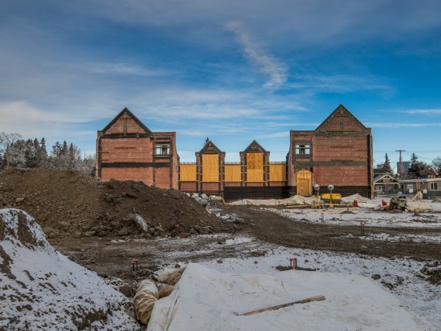
Turn right and soon on, come to the Elbow Park School. Damaged by 2013 floods the fine old structure, save for one wall, which will be incorporated into a new building, is being demolished. Sad.
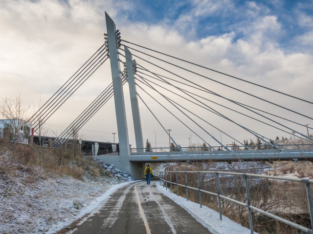
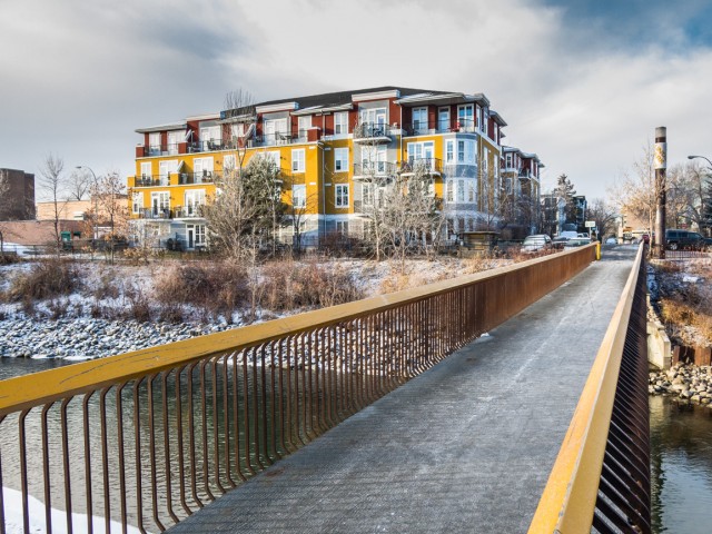
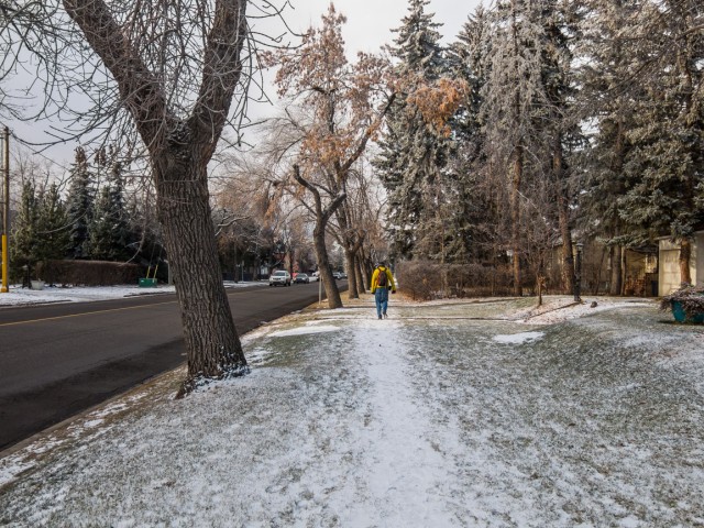
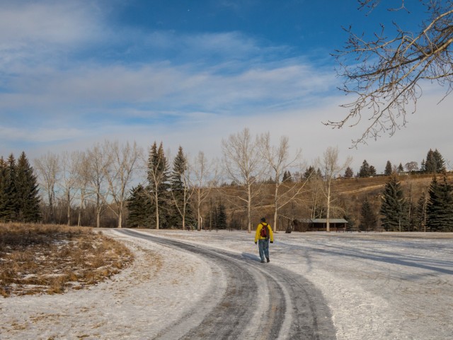
Cross the Elbow on a foot bridge (a new one, the original was washed away in that same flood), and turn right on Riverdale Avenue. Pass many palatial homes and enter Riverdale Park. Another footbridge over the Elbow (again a replacement for one destroyed by high waters). Head up, the only elevation to be gained this day, to the top of the river valley. At the dog park (bark, bark, lots of friendly pooches about) and behind a small school, turn left.
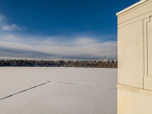
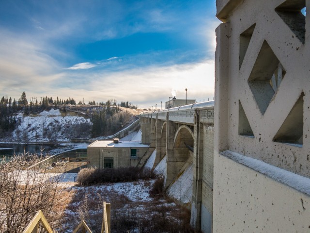
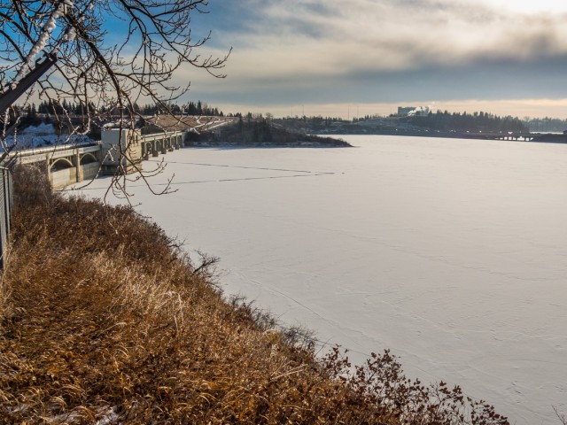
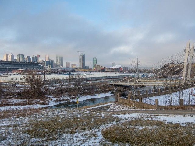
Heading south, enjoy the views of the river far below. Come to the Glenmore Dam and a water treatment plant. Explore the former, you can cross over it if you like. Built in the 1930s, the reservoir behind is the city’s water supply. A small park to the right makes for a good lunch stop.
Assuming you follow our route to the letter, and there is no need – change it as you like – retrace your steps, dropping back down to river level, sticking with Riverdale Avenue where the one footbridge (by Elbow Park School) comes in from the left. Don’t turn here and instead stick this side of Elbow River. Pass by many more old homes, drop under Elbow Drive, more old homes and enter Stanley Park.
Bending north, follow the river at the bottom of a bluff. More nice old houses on the opposite bank, many of which suffered damage from those nasty floods a couple years back. Remediation work is still ongoing with some.
Enter the Rideau Park neighbourhood, another well-to-do community with many nice old residences. There’s a 1930 built brick school to the right, down a short side street. It’s worth checking out if you like old buildings (and come on, who doesn’t?).
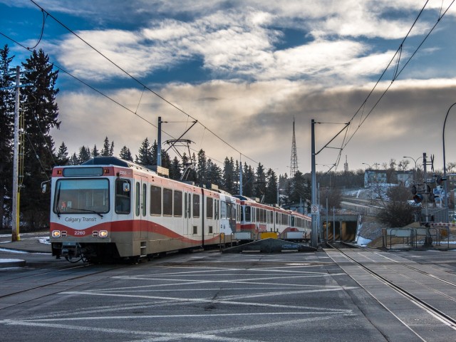
Come to the 4th Street Bridge and turn left (north). At the far side hit the pathway and turn right. Still close to the river, bend left with it and cross over, eastbound, on the 25th Avenue bridge. Cross MacLeod Trail, and the LRT tracks (at a tunnel exiting “cemetery hill”), meet up with the Elbow River pathway again and retrace your steps back to your ride.
If you wish more information on this trail, by all means contact us!
Date of adventure: December, 2015. Location: Calgary, AB. Distance: 19km. Height gain maximum: 80m. Height gain cumulative: 100m. NOTE: all distances and heights are approximate.
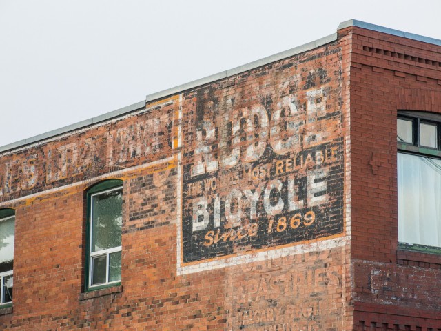
The hardware business is long gone but their old sign from about a century ago remains. We were doing a little walk-about in Three Hills and had a tip to look here. It's little things like this that we love the most, hidden reminders of things that came before and clues to the past that aren't so obvious.
More info in the comments👇
Exploring history with Off the Beaten Path with Chris & Connie. Photo: 2023. Posted by Connie.
The Canadian Pacific Railway at Summit Lake Crowsnest Pass in 1983 and 2023. The trains still run, but the railyard and associated infrastructure is a distant memory. Haze in the now photo is from distant forest fires. The old Summit Hotel can be seen in back in both and it's one of the few things still standing here from earlier times.
The Then photo come thanks to the John Bjorklund collection at the Center for Railroad Photography & Art and is used with permission. They sent us others and we'll hopefully be putting them to use later this year.
Go to the comments for more info 👇
Exploring history with Off the Beaten Path with Chris & Connie. Posted by Connie.
Thanks to the The Val Family for making this post possible. If you like what we do and want to support this ongoing project (12 years now), go here: https://www.BIGDoer.com/help-the-society/
Two things that make us giddy in Hodgeville Saskatchewan and now both are gone. That majestic grain elevator dates from 1967 and sadly it was torn down a few years back. There's a Canada 100 logo high up there on the cupola.
The home made motorhome is something else and locals insisted it was powered by a radial engine salvaged off a De Havilland Beaver bush plane. How in the world? The fellow who built it passed on before its completion and soon after our visit it was scrapped. Rural folks seem to have this crazy ability to craft something they need out of any old bits and pieces lying around.
Exploring history with Off the Beaten Path with Chris & Connie. Photo: 2014. Posted by Connie.
The Legion Hall and Monarch Garage, Loverna Saskatchewan, early 1990s (not 1970s as shown) and the same view in 2017. There's not much going on in Loverna these days, but long ago it was a very active and vibrant community. This was shot between takes while working on the Telus Documentary "Forgotten Prairie" by Rueben Tschetter.
Check the comments for more information. Original image thanks to and copyright Philip Brown.
Exploring history with Off the Beaten Path with Chris & Connie. Posted by Connie.
It's no secret Team BIGDoer is Boler obsessed but we're actually not owners, funny as it sounds. We can only dream and you know if we could, we would. The only thing holding us back from buying one, like the nice example seen here, is the cash to actually make the purchase and a proper vehicle to haul it around. Other than that, we're good to go!
Exploring history with Off the Beaten Path with Chris & Connie. Photo: 2021. Posted by Connie.


Wasn’t the Grace Hospital at 10th Street near 5th Av, NW? That was the old Holy Cross Hospital.
A mistake? We made a mistake? Noooooo! You caught us with our pants down. Haha. We’ve since corrected it and thanks for spotting the boo-boo.
Always a fun time with a great friend!
And who’s that? Hahaha! Love the time with you too!