
Mustang Hills
The Mustang Hills are named after feral horses that live in the area. Three bumps of very modest stature, they can be summited with little work. Two of the three tops are open and provide mighty good views of big peaks to the west and rolling ridges to the north and south. The route is unofficial and the trail rather faint in places. If snow’s on the ground it’ll sometimes look like there is no trail at all. We suggest doing the loop in a clockwise direction – trust me, you’ll thank us. The highway leading to the area is closed in winter (after December 15th).
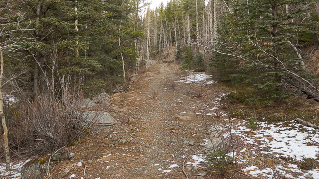
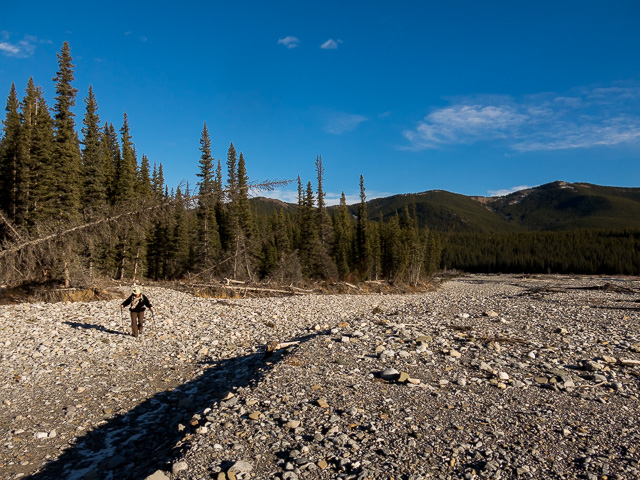
Park at the Cobble Flats Day Use Area off Highway 66 west of Calgary. Take the reclaimed road heading up in a northeasterly direction from the most easterly most parking loop (we mistakenly started at the other loop nearby). The way is obvious and the going is easy. Soon in come to a side trail, leading to a lookout point that gives a fair view of the Elbow River below. It’s worthwhile diversion. Notice all the damage from the 2013 floods. The river went bloody wild that spring.
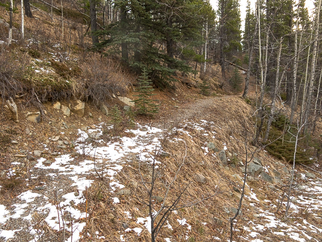
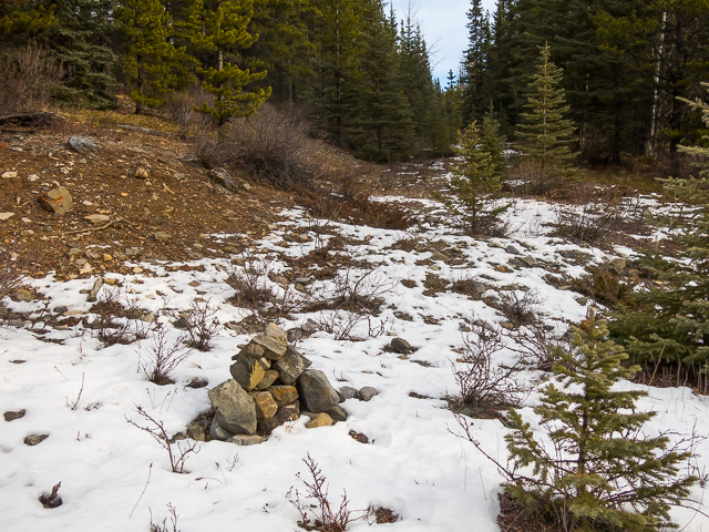
Continuing on and up join another road, the old highway into the area. Just before it bends right, take the side road (marked by a cairn) heading up and east. Follow this path for a time, it’s real easy going (as we’ll repeat many times this report) as it rises gently, always in the trees. It bends north. At a cairn and flagging, tackle the wooded slope to your right head on. Steep to begin with, the grade levels off after short while.
Meandering about, come to a small bump with a cairn of sorts, the highest summit of the three that make up the Mustang Hills. Nothing to see here given the there is no break in the trees. Continue on. Notice all the blazes along this section. Even though the trail is faint, these will help confirm you’re pointed in the right direction.
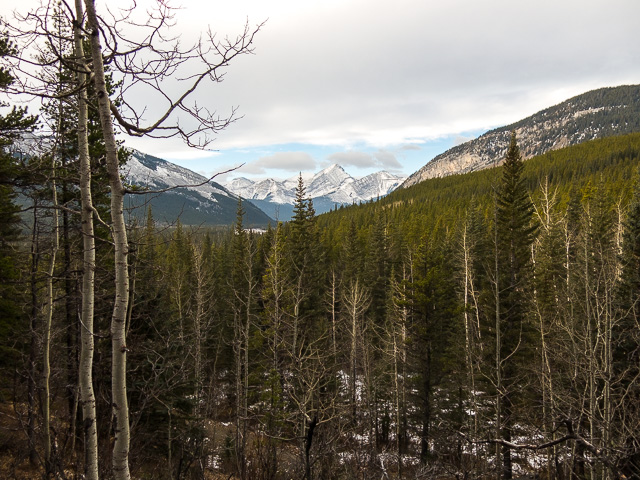
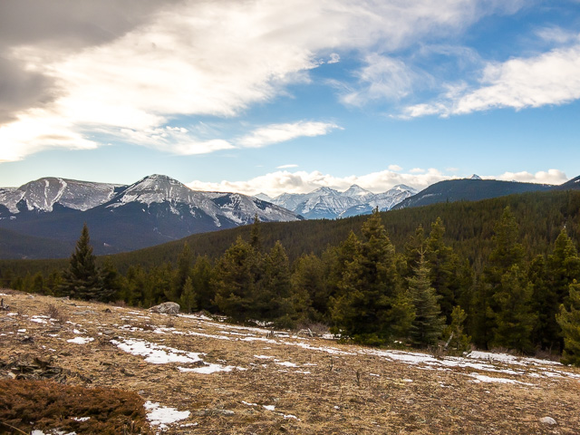
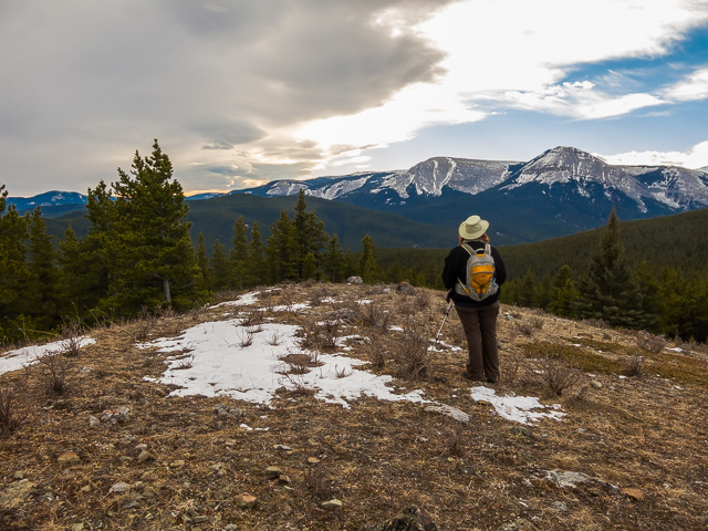
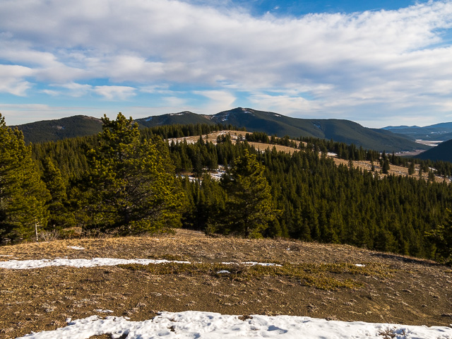
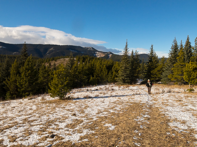
Dip down for a bit and in no time head up to the second summit, a wee bit lower than the first but with a west facing greasy meadow, giving the first real views of this hike so far. Take in Forget-Me-Not Ridge, that huge mass of rock directly west. To the north is Powderface Ridge. Looks treed but is wide open in the west. In a gap between the two and off in the distance are some of the taller mountains in the area, Banded Peak, Mount Cornwall, Mount Glasgow and others. To the south are rolling hills. A log bench here makes a fine lunch spot.
After taking it all in, or in our case after exhausting all the wine we had, move along (or stagger along for us), dropping down before the short climb up to the final summit, a bit to the southeast. It’s slightly lower yet again. The second or middle summit, and the treed first summit can be seen from here. South one can look up the Quirk Creek Valley.
I understand it’s not odd to spot those feral horses spoken of earlier at these last two summit meadows. We didn’t see any, but there was lots of fresh signs, poop and prints. Maybe you’ll have better luck. They’re not called the Mustang Hills for nothing.
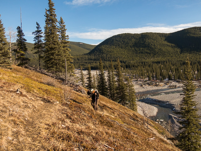
Drop down into the trees at the southern edge of the meadow. The way down is moderately steep without break until the river is reached. We lost the trail at times, then just as quickly regained it. At the Elbow River turn right (west) in the trees just before hitting the gravel beds. The trail here wanders and splits and rejoins sometimes in the trees, sometimes moving out onto gravel flats. It’s a crazy web of routes and this is why we suggest a clockwise loop. If counter clockwise the junction to go up could be easily missed if you were on the wrong branch.
At times head up grassy slopes to avoid cliffs at river level. Look out over the flats to view the mess made from those spring 2013 floods. You can see where the river brought down so many dead trees and where it clearly changed courses. The river bed is now many times wider than it used to be. At a couple points, traverse narrow ledges on loose gravel and steep slopes. Don’t slip here, it’s a fair drop down. You won’t see these “cruxes” until you’re committed and it doesn’t appear there is any easy way around them. Hiking the river flats, on loose unconsolidated gravel, the whole way back is one option I guess. But sore ankles and wet feet are pretty much a guarantee if you take that route.
Come to the picnic area and soon on your ride home.
This Mustang Hills trail is fairly new in the sense it’s only appeared in trail guides the last few years. Still, it seems little used. We saw no one the day of our visit, the way we like it, and only limited signs others had gone before us since the last snowfall (odd, so little snow this time of year). We encountered a good number of off-shoot trails on this adventure some marked with cairns or flagging, some not. They don’t seem to show in any guide books we’ve referenced and so we have no idea where they go. It’s possible, I guess, they are variations of our route.
More hikes and summits in the general area…
Moose Mountain.
Elbow Valley – Sulphur Springs loop.
Prairie Mountain.
If you wish more information about this trail, by all means contact us!
Date of adventure: November, 2016.
Location: Elbow River area Kananaskis, AB.
Distance: 8km loop.
Height gain maximum: 270m.
Height gain cumulative: 350m-ish.
NOTE: all distances and heights are approximate.
Technical bits and notes: Sometimes faint trails.
Reference: Kananaskis Trail Guide by Gillean Daffern.
Destination: Mustang Hills. Start up this old road.
A side trail leads to a lookout point.
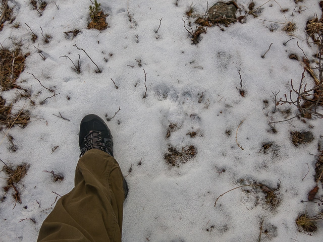
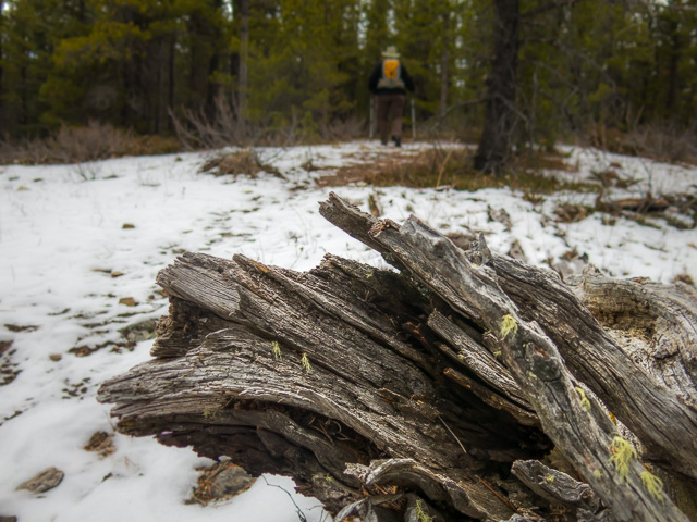
Sasquatch Tracks!
The side trail – looking west.
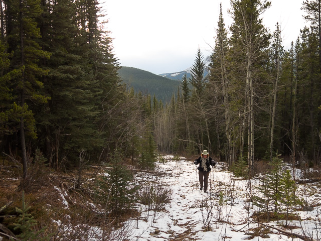
The old road makes for easy going.
Taking a side road.
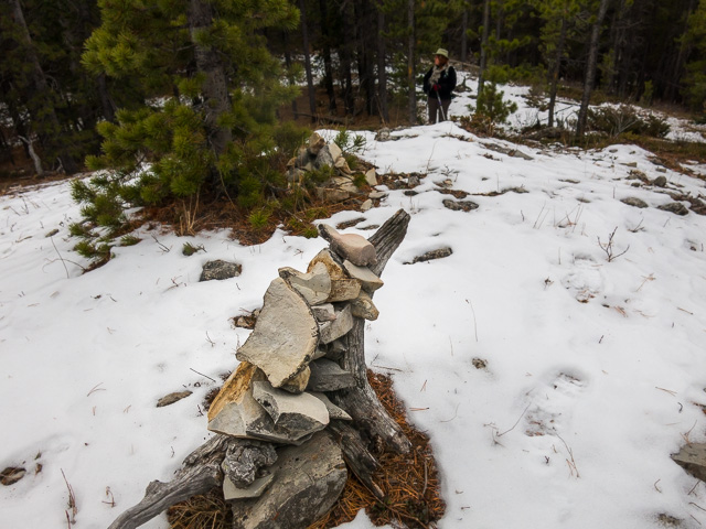
A cairn and flagging mark the exit point from the road.
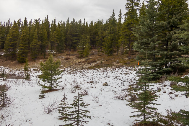
Surprisingly little snow on our visit.
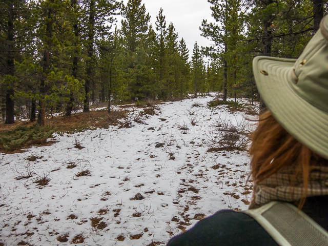
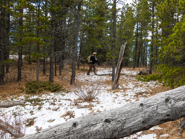
More easy hiking though a pine forest.
On the first and highest “summit” – nothing to see here folks.
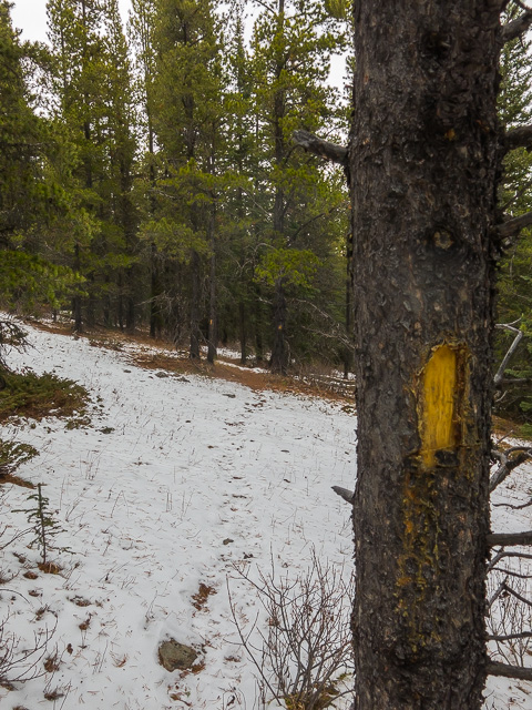
Lots of blazes on the ascent route.
Between high points.
The second summit is a bit lower but has some views.
Forget-Me-Not Ridge in back.
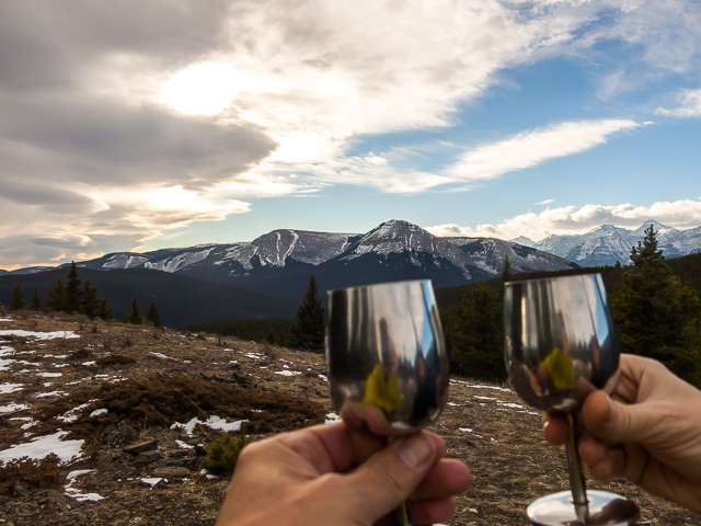
Summit wine!
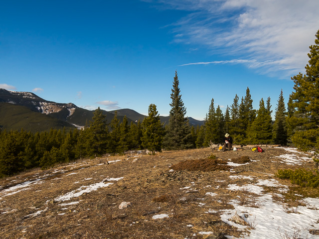
A pretty fine lunch spot.
The third summit is a short distance away.
In back, Powderface Ridge.
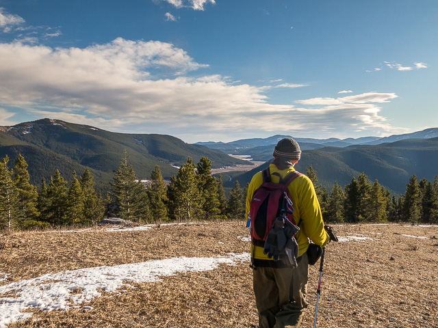
One last look (pointing south) before we plunge into the trees.
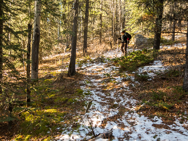
Dropping down at a steady pace.
At the Elbow River.
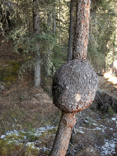
Huge burl on a small tree.
Sometimes we have to traverse above the river to avoid cliffs.
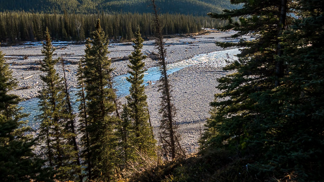
The broad flats of the Elbow River.
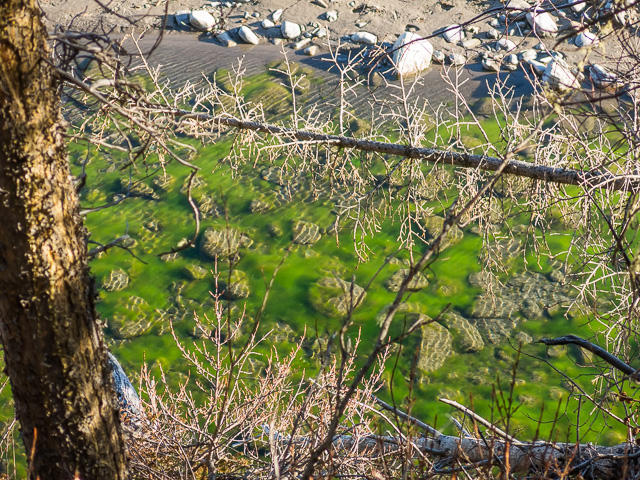
The most colourful thing seen all day, algae in a pool.
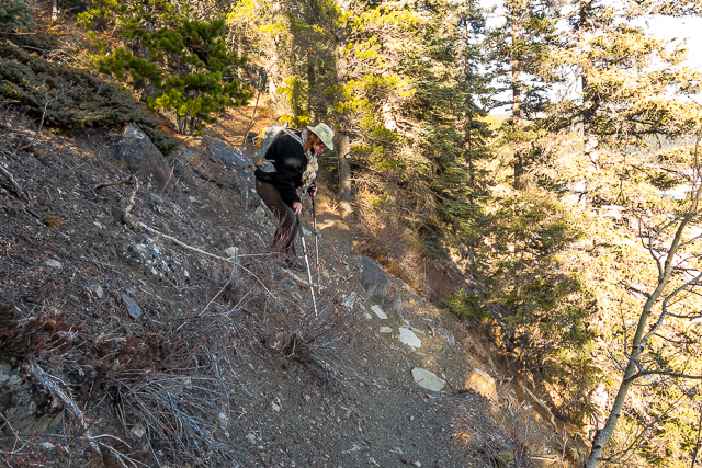
A narrow and loose section on a steep slope.
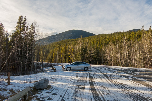
The mighty BIGDoermobile at the trailhead.
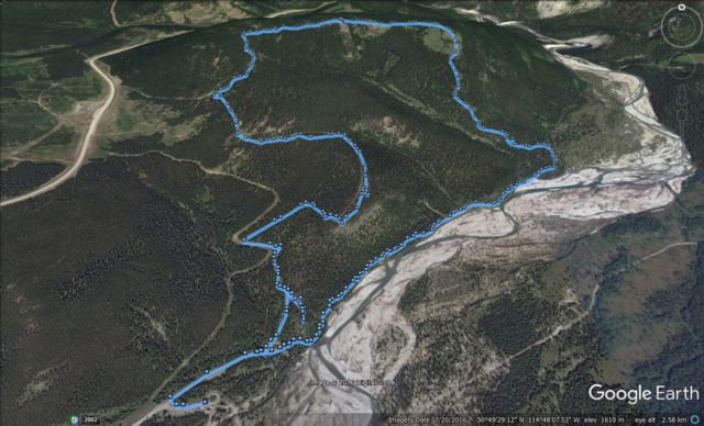
Our route (clockwise)…


Beautiful, beautiful pics!
Thank you, we love what do. We get to see so many gorgeous places.
Hey thanks for the info ..and hike , some great shots!!!..Mustang Hills…
Nice hike, especially this time of year when things are usually deep under snow. Thanks Mother Nature for cooperating!