
Ole Buck Mountain
At one end we have Mount Columbia, up near Jasper, the highest mountain in Alberta, topping out at some thirty seven hundred metres in elevation. Rocky, cold, barren, lofty, it’s a stand out in a sea of tall peaks. Far end of the scale, we have sad little Ole Buck Mountain in Kananaskis, at some seventeen hundred metres and change. Treed, it’s barely rises up above the surrounding countryside. Hardly befitting the title given it…saying it’s a hill seems a much better descriptor. But we don’t make the rules.
Still, we thought it a worthwhile objective and perhaps so should you. Access to the “summit” is straightforward, a series of exploration roads and cutlines taking one right to the very top. There’s some deadfall and sections are overgrown, but overall the going is easy. The trail rises and falls, so while the maximum elevation gained in quite modest, there is some cumulative. Add even more if you visit the north summit. Lots of ups and downs along that section.
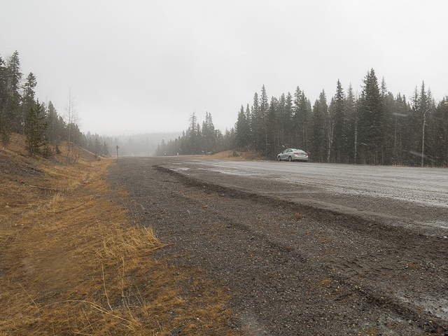
Finding the trailhead is a bit tricky. It’s starts alongside Highway #68 (gravel here), just west of the Jumpingpound Demonstration Forest. Before the road bends right and drops down at a cut, pull over and find a faint overgrown road, north side, heading up in the trees in a westerly direction. The highway’s wide enough to park alongside.
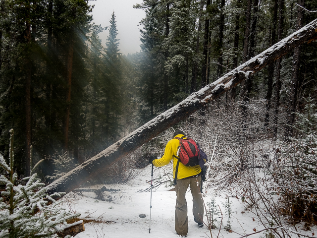
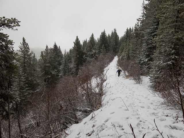
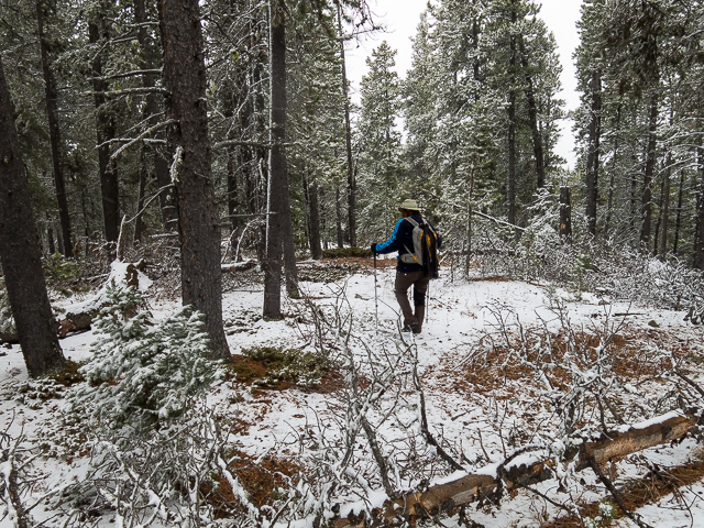
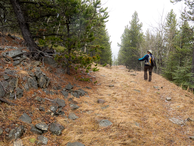
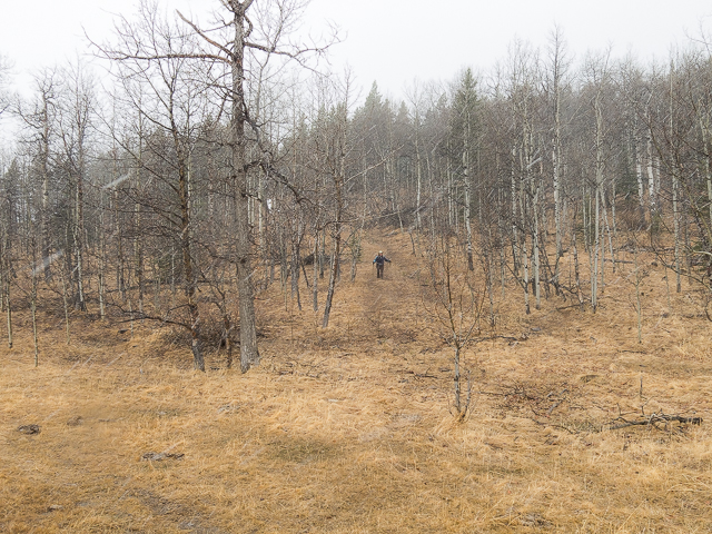
Heading up, the trail bends north and becomes more steep. It’s well defined – no brush or Alders at all along this section. This is a seismic line, put in by an petroleum firm long ago, in search of new deposits. There’s lots of these all over Kananaskis. This one today doubles as a fine hiking trail.
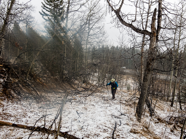
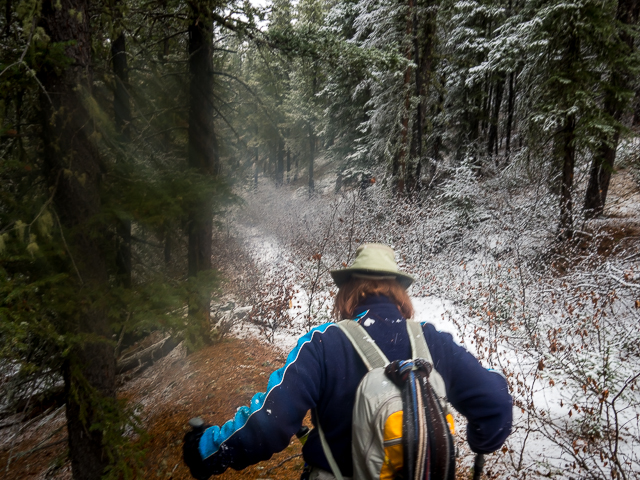
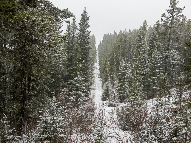
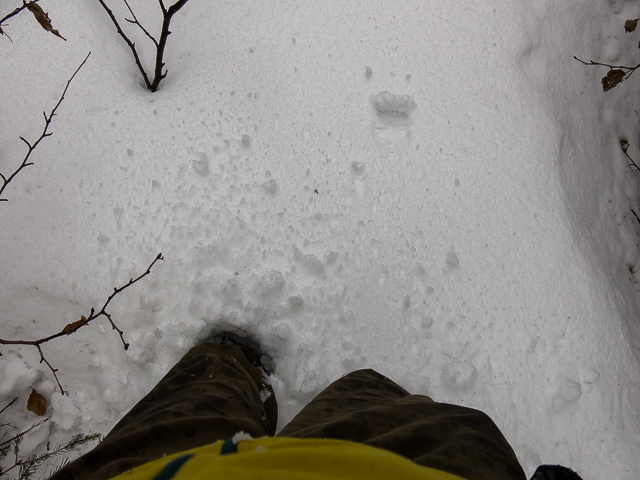
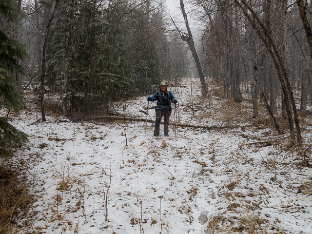
For the next couple clicks, the trail rises and drops, arcing left at times to avoid going up and over. In places it’s well overgrown. Some of the bigger deadfall has been cut back. In places, knee deep snow impeded our progress. There was no signs of other people having crossed them before us, a reminder this trail is not that well used.
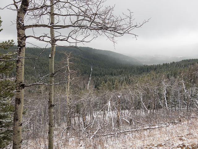
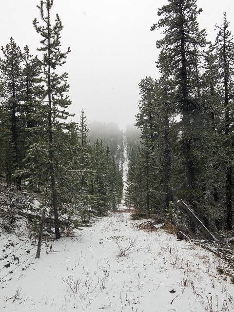
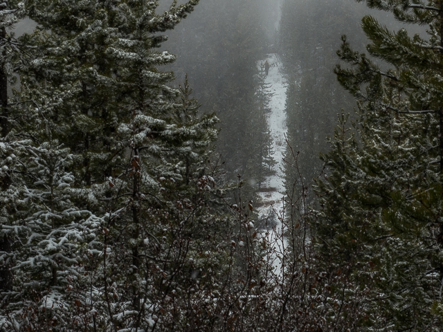
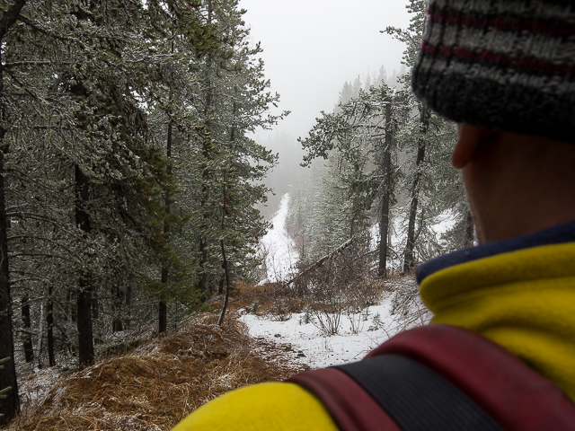
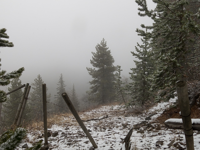
In a low swampy area (frozen on our visit), hop over some barbed-wire. Ripped my pants here. Doh! Continue on straight. Soon on the south facing aspect of Ole Buck Mountain can be seen. The trail now heads up steeply, bends right, the trees thinning for a time allowing one to see off to the south and east (we were socked in, so saw little). Take it in. This is as good as it gets. These are the only views this day. Careful not to get too close to the edge. All that exposure!
Over another nasty pokie fence, it’s into the trees again. One more fence, soon on the summit is reached. In the trees, there’s nothing to see here folks. It’s a summit though and that counts for something.
The north summit of Ole Buck can be reached by following a fenceline. There’s lots of dips and rises however. I attempted it solo, Connie staying behind, but gave up after going about half way. Long stretches of knee to waist deep snow (and I’m long-legged) was just too much. We never could see the north summit account the bad weather. I understand it’s a bit more open.
Back at the south top and a team again, it’s time for lunch. For us it was homemade salad rolls and good white wine. Does it get any better? Chatting, it strikes us, Ole Buck must surely be in the running for the lowliest mountain in the province. We couldn’t find a list, only one for the tallest. A fact, no Sherpas are needed summiting this one.
Head back at your leisure. Be sure to take in that one view point along the way. It’s all you got. Embrace it. For us, the weather was socked in, so views were mostly limited. Hopefully when you visit you’ll be blessed with nice open skies. You can, I’m told, see mountains to the south, real mountains with height and stuff, including Moose Mountain, Cox Hill, Jumpingpound Mountain and others. Pointing east, I understand one can see Calgary.
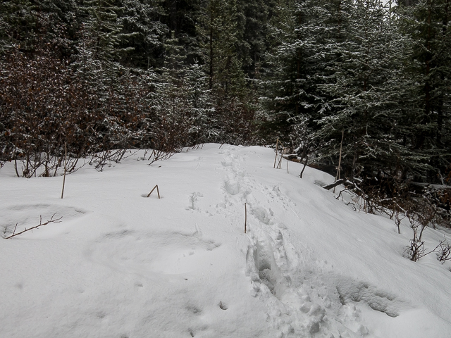
Back down in the trees, even with the brush and deadfall, the road, so your parking spot, is still reached in almost no time. The trail is pretty short.
While this hike is never going to be high on anyone’s to-do list, it’s actually not a bad little outing. There’s enough variety and a reward of sorts at the view point, making the effort well worth it in our opinion. And it’s a workout, not a hard one, but still enough to get the blood flowing. That means something. Even though we speak well of it, we suspect it’ll never been a popular trek. Clearly few people use it and I doubt that will change with the publishing of this report.
We love the quiet trails – this is “Off the Beaten Path”, so I guess we’re a bit biased.
Other nice hikes in the area…
Cox Hill.
Jumpingpound Loop.
Return to Eagle Hill.
If you wish more information about this trail, by all means contact us!
Date of adventure: April, 2017.
Location: Sibbald area, Kananaskis AB.
Distance: 5km there and back to first summit, 7km to our turn around point.
Height gain maximum: 210m-ish
Height gain cumulative: 300m-ish to summit, 350m-ish to our turn around.
NOTE: all distances and heights are approximate.
Technical bits and notes: Dense brush in places.
Reference: Kananaskis Trail Guide by Gillean Daffern.
Starting along the Ole Buck Mountain trail.
Ducking under some deadfall – doh, lens smear!
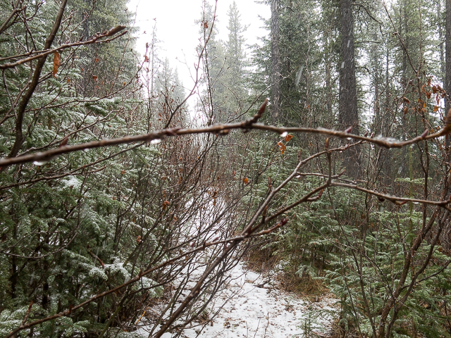
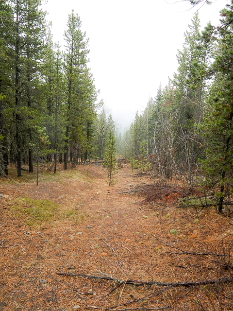
Some parts of the trail were overgrown.
Climbing up – this was about as good as the views got.
Still lots of snow on the upper trail.
Fence line leads to the (unseen) north summit.
The snow got deeper and deeper.
Enough postholing already! This is where I called it quits.
Heading back – The summit is up in the clouds.
Connie eyes me coming over the last rise.
The top of Ole Buck – resisting the urge to do a summit high-five.
Dropping down.

Some deep snow in places.
There were many fences to cross.
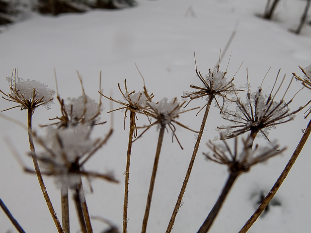
Cow Parsnip grows well in low lying and wet areas.
Snow squalls were the order of business this day.
In an overgrown section – eye poking hazard here.
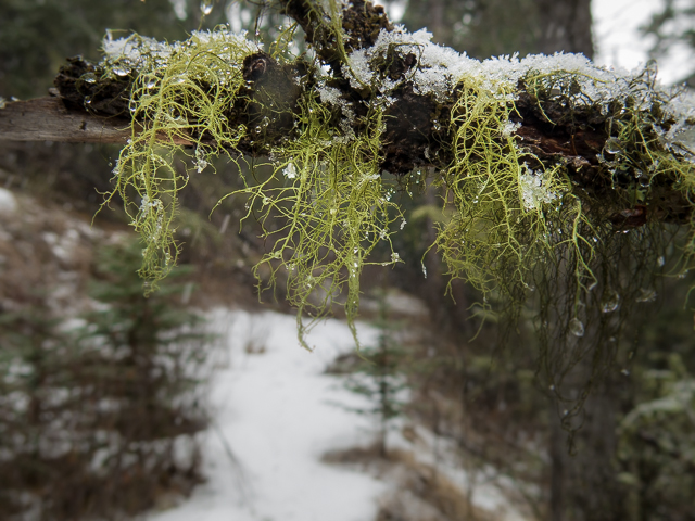
Wolf Lichen, also commonly seen.
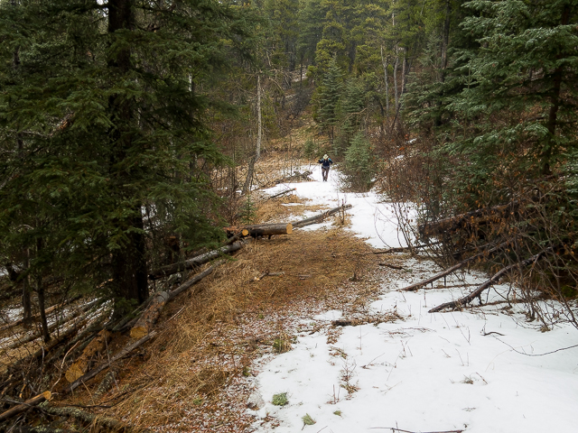
Much less snow on lower sections – someone’s been clearing deadfall.
Up and over a hump.
Dropping down steeply now.
The mighty BIGDoer-mobile awaits.
This is the faint road mentioned that’s the start of the trail.
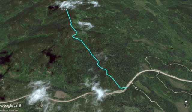
Our route up Ole Buck Mountain – we missed out on the north summit.


Awesome stuff, guys. Ole Buck and Sibbald Flats were always my first-hike-of-spring getaways. They’re both pretty easy jaunts and the views from the top are great on a clear day.
Clear skies were not on the table for us that day. Still, we had a blast! Thanks for commenting.
It’s a nice little hike.
I liked it, even the waist deep snow parts. We’re gluttons for punishment!
Thanks! You guys find so many cool places!
We are so lucky to go the places we do. Thanks for commenting!
Nice hike. That awkward season between snowshoes and no snowshoes.
Oh yeah. We only needed them because we didn’t bring them. Had we packed them in, the snow would have magically disappeared. Like washing you car bring rain, you can’t win.