
Mt Hoffmann
This is our second trip to the top of Mt Hoffmann (alternately Hoffman). When we last did it many years back, the trail was not well known nor used, and as such was faint or even nonexistent in places. Since then, more people have come to know this pleasant little lump of rock and dirt, the way becoming more distinct from use, save for one section with lots of deadfall, where it vanishes for a time. But no worries, flagging guides the way there.
The trailhead is at the Indian Oils Day Use Area off highway #546, in the foothills of K-Country west of Turner Valley. Duck in behind the biffies and take the road heading west down to the Sheep River. Cross over a new bridge, put in only late last year. The one before was mightily swept away by flood waters in 2013 and remains of it can be seen the gorge below (in the interim, hikers had to ford the river somewhat upstream). That’s Tiger Jaw Falls right under the current span. Hear it roar.
Turn left and head up southeast-ish on the Sheep River Trail, a reclaimed road. It gains elevation steadily, always in the trees. Where it dips down briefly just beyond a fairly long flat section, double back on a fainter track. It heads up (theme of the day), switchbacking once, before taking a line that skirts it around the east flank of the Mt Hoffmann/Mt Hoffman mass. The old logging road is overgrown in places (damn Alders), but otherwise the going is pretty pleasant. A stream is heard gurgling below.
A boggy section is passed – ewwww, leak in shoe – wet sock! At a clearing, the site of a former lumber camp, notice an old stove and bed frame off in the grass. The general area here was harvested of trees in the 1960s (we believe – not much data) the old cut blocks long since filled in with new growth. Still one can make out where each was – the trees in them are all somewhat smaller. Thank the loggers for the trail you came in on. Logging was once common in Kananaskis, now mostly a recreation area, and still exists on a small scale in places within its boundaries.
Soon on come to a Y junction. Go left on the same road for Mt Hoffmann/Hoffman, right taking you to a viewpoint. We’ll visit it on the return leg.
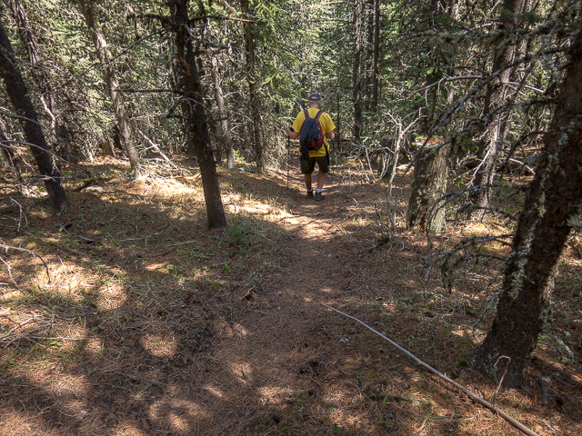
Continue on and up. Come to a T junction, turn left and in short order arrive at a landing (where they loaded logs me thinks). At the far end a singletrack continues on. For the next while, it gains elevation rather steeply in the trees. Where the land levels again, for a time, the trail gets lost in the deadfall for a couple hundred metres or so, with only flagging to help one along. When we did it last time, we had to put our orienteering skills to work – there was jack to mark the way. The woods are dense here and it’d be easy to get turned around. We almost did back then.
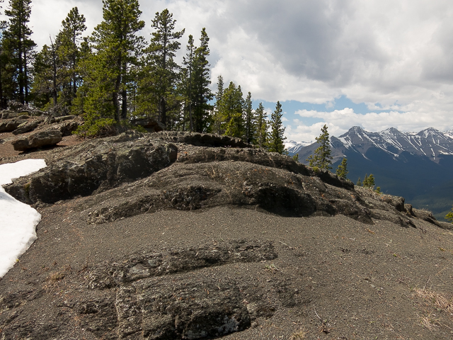
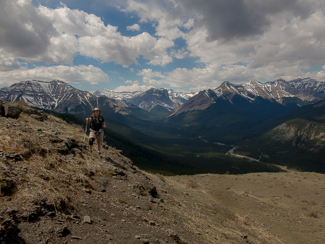
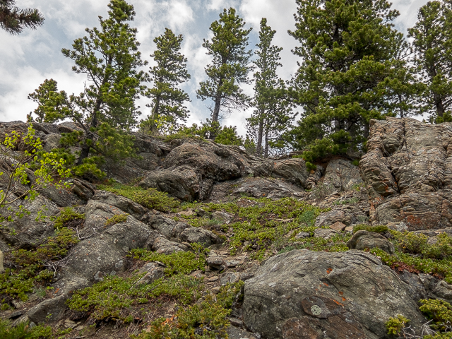
Up and over downed logs, up and over more, then miraculously break out onto the open north facing slopes of Hoffmann-Hoffman.
Okay…the one N, two Ns thing. There’s arguments for both spellings, so we’re not sure who’s in error or how to weigh in. Seems we started calling it Hoffmann years back and it stuck – hiking guru Gillean Daffern seems to favour two Ns. Many maps show just one. Called me unsure…
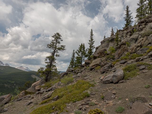
Anyway, pass a couple minor rock bands – not the ones that play the local casino, but instead of stone and acting as low wall, many Prairie Crocus’, often the first flower of spring, underfoot. Prairie Crocus? The best darn country group name…ever! Look back and see rolling hills of to the north. We eye some up as future objectives. Others, we’ve done.
One last push and the “lofty” summit is conquered. We’re not alone and greet some new friends…climbing hills and ridges and mountains seems to bring out a sense of camaraderie in people.
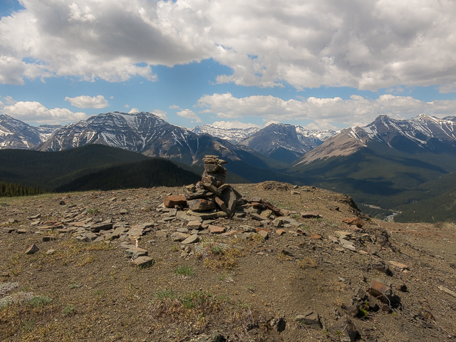
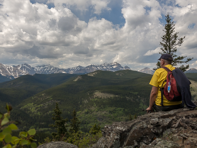
Despite its modest stature the views here are spectacular. Well to the west and south anyway – trees sorta get in the way in the other directions. Big peaks seen include, from left to right, Shunga-la-she, the flat face of Mount Gibraltar in back, towering Mt Burns, Bluerock Mountain, Mt Rose, and Threepoint Mountain. Mt Ware, a smaller bump with a bald top, stands out amidst a sea of dense forested hills to the north. That’s Volcano Ridge. And Missinglink Mountain. Been up both.
A small parting of trees allows us to see Junction Mountain in the north, topped by a fire lookout. One can hike up to it, but it’s a long trail requiring an early start. I’ve always wanted to myself. Very few trip reports can be found, suggesting most see it as too much work.
The Sheep River and the highway running beside it can be seen below. There’s a couple campgrounds down there, somewhere. Mostly, it’s waves of green. It’s gorgeous all around. A grove of trees makes a nice lunch spot. Wine is chilled in a snow bank. Does it get any better?
I take some time to check out the short west ridge of Mount Hoffmann/Mount Hoffman solo. It’s a nice little diversion, with some ups and downs but nothing all that different when it comes what you can see. Still, it’s worth the effort. There’s some interesting formations at the very end. Joining back up with Connie at the summit, a friendly pooch drops by to say hi. No doubt he smells the smoked meat we had.
Reluctantly – ’cause who wants to leave this wondrous place – retrace your steps. At that one junction, take in the viewpoint – it’s only a few hundred metres of up off the main trail. For an even better look at things, one can climb the rock formation to the right to get a little higher. Looking north, what we call Indian Oils Hill (or Ridge, as the mood strikes us) is seen directly in front. I think we can see our car down there. Feet up, for but a moment. Ahh…
It’s all downhill from here and in no time you can be back at the trailhead. Mt Hoffmann/Hoffman was a great host. Fun, interesting, lots to see. Two thumbs up. Now how the hell did I get that battlescar? Can’t come away from a hike without blood pouring out of somewhere. Happens almost every time.
Many more modest mountains…
Ole Buck Mountain.
Gunnery Mountain.
Mount Mann (two Ns).
If you wish more information about this trail, by all means contact us!
Date of adventure: May, 2017.
Location: Kananaskis AB, Sheep River area.
Distance: 10km return.
Height gain maximum: 450m-ish.
Height gain cumulative: 525m-ish.
NOTE: all distances and heights are approximate.
Technical bits and notes: Some minor route finding challenges in the “deadfall” section.
Reference: Kananaskis Trail Guide by Gillean Daffern.
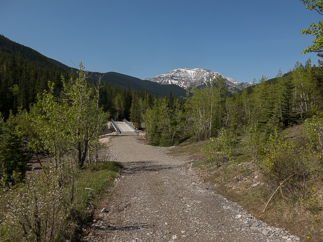
Heading out from “Indian Oils”.
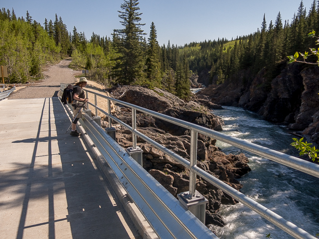
Crossing over Tiger Jaw Falls.
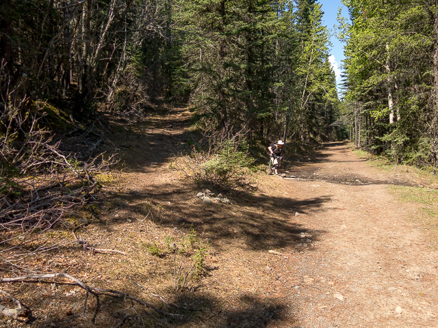
At this junction, doubleback to the track at left.
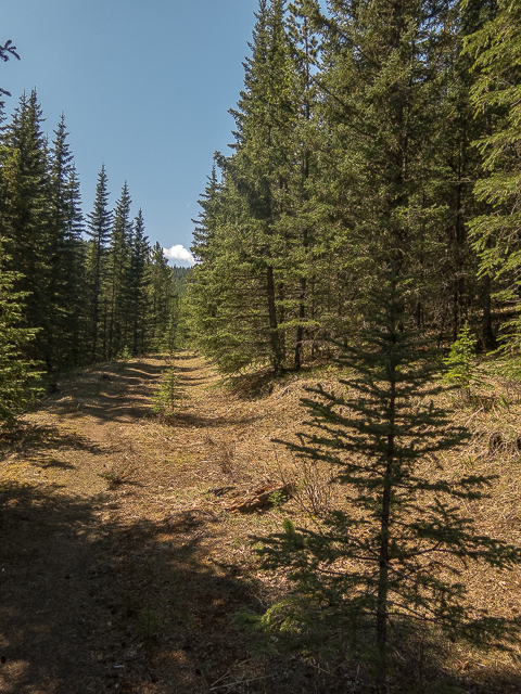
Following an old logging road.
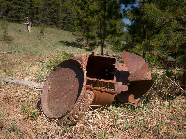
Remains of a camp.
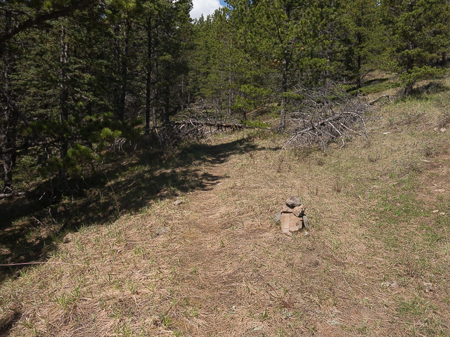
Left to Mt Hoffmann, right to a viewpoint (visited on the return leg).
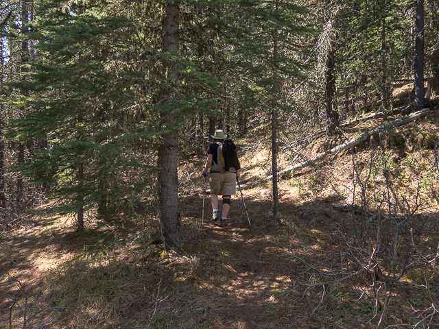
Leaving the road behind, it’s into the trees.
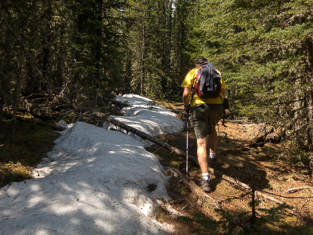
Lingering snow.
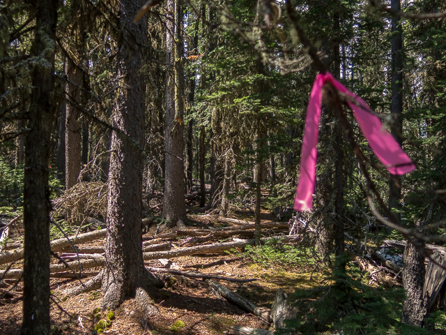
The trail fades out but flagging guides the way.
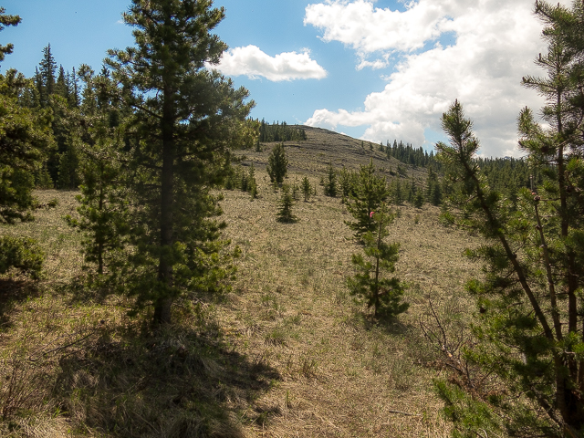
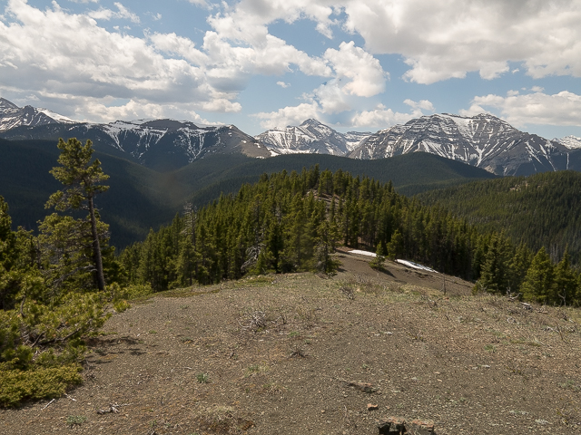
Breaking our of the trees, the summit is minutes away.
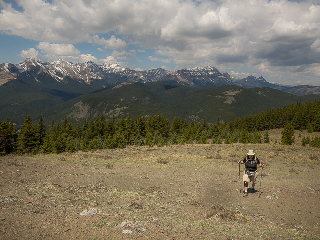
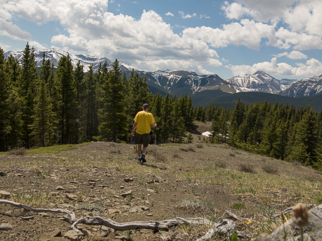
Big peaks, including Bluerock, Rose and Threepoint.
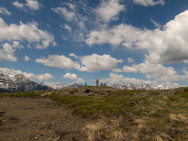
New friends at the summit.
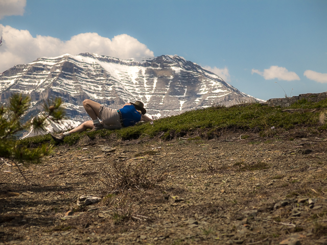
Relaxing? No, she’s taking photos of flowers – Shunga-la-she in back.
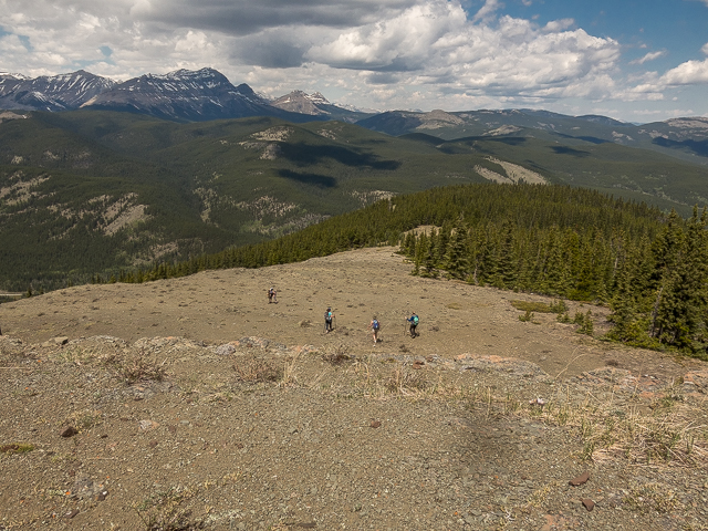
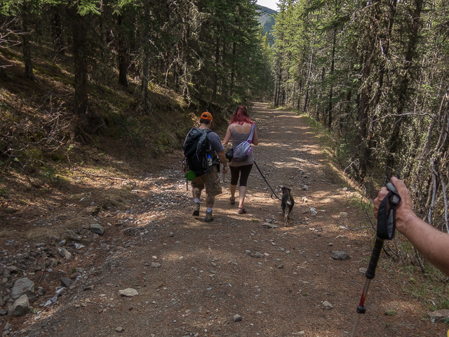
They head down while we break out the lunch.
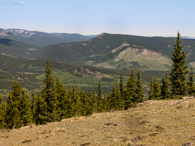
The view west – Sheep River Valley just right of centre.
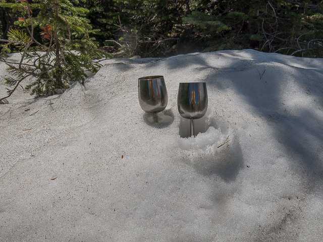
Chillin’ some wine.
Looking north-ish we see Missinglink Mountain.
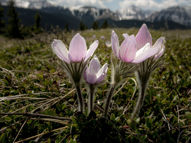
Always the first flowers of spring.
I go to check out the short west ridge.
Not a bad day…

Taking it all in – looking northwest here.
Interesting rock formations.
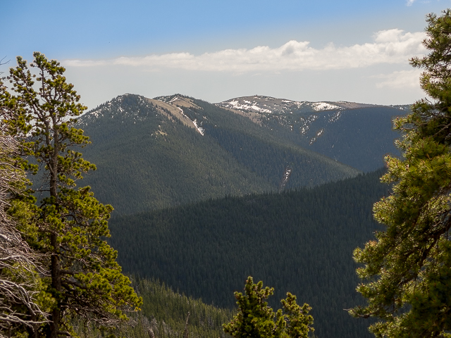
A parting of the trees allows us a look at Junction Mountain in the north.
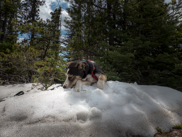
A friendly pooch cooling off.
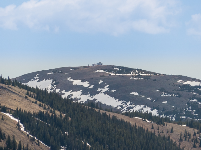
Super zooooom! The fire lookout atop Junction Mountain.
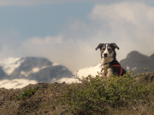
Is that smoked meat I smell?
On the way down…damn it’s hard to leave.
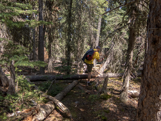
Lots of deadfall in this section.
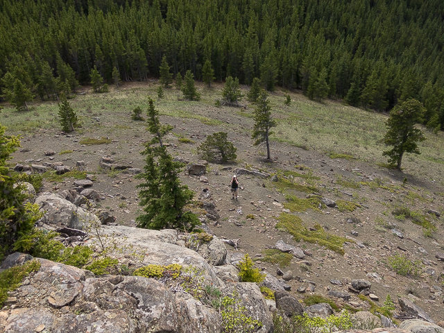
Dropping down steeply.
Formations at the viewpoint.
I’ll climb up while Connie remains behind.
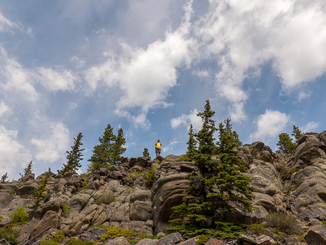
Can’t miss my trademark yellow.
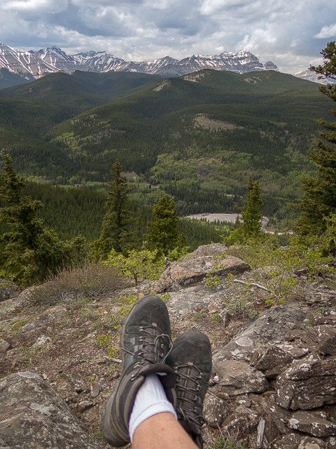
Ahhhh…
Mid-view, Indian Oils Hill (as we call it).
Connie, down there.
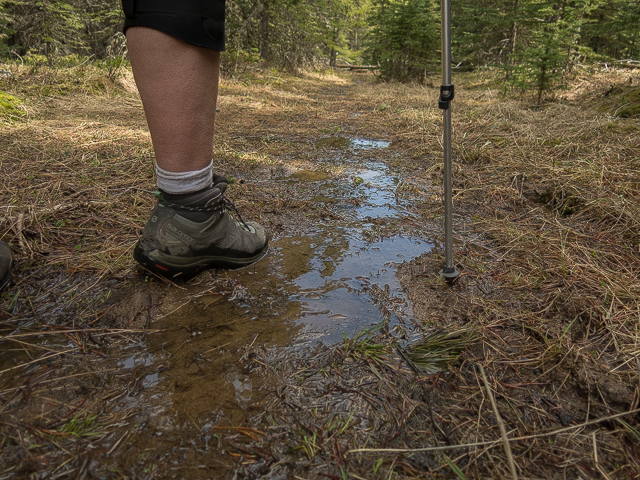
A boggy section.
On the Sheep River Trail, an old road.
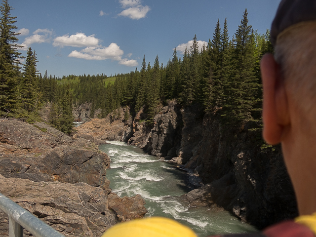
The gorge below the falls.
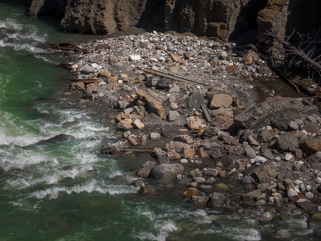
Remains of the old bridge mightily swept away a few years back.
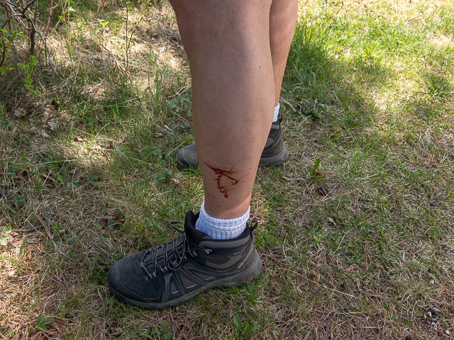
Bleeding again, and no idea when nor how it happened.
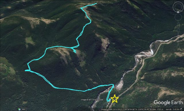
The Mt Hoffmann route.


I have cleared out the dead fall at the top of the trail and most of the rest of the trail.all should be good now.
Fantastic, thanks for the hard work! It’s a nice little hike.
Very nice. I am aiming to do this this weekend!
A rock solid guarantee, you’ll enjoy it!
Such beautiful clear photos. Looks like an amazing place. Julia, Pincher Creek.
Thanks a million, it really was a nice hike.
Great pictures!!!
As I often say, the subject gets the credit!