
Strawberry Hills
We’ve been eyeing up the Strawberry Hills for some time now. These, a series of bumps, treed on the lower slopes, but with open tops mostly of grass, can be found in South Kananaskis, one of the least visited sections of that vast recreation area. Seems we know others who have made this hike – we’ve seen their reports online and have been envious – now it’s our turn. Come along, join us. It’ll be fun. And not too much work.
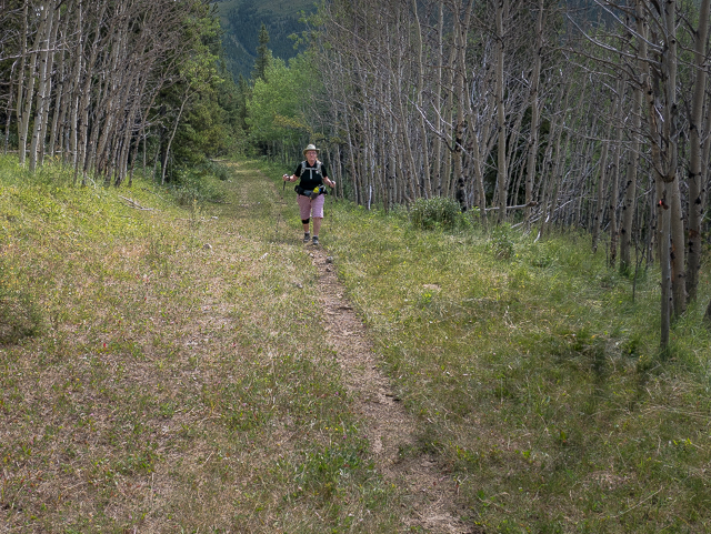
Park at the Fiztsimmons Day Use Area off Highway #40. First things first, don some sandals and cross the Highwood River. At certain times of the year, during spring runoff for example, we wouldn’t recommend it – high flow could be dangerous. Most of time, however, the river’s pretty calm, its cooling waters most welcome on a hot scorching day. As it was for us. The Strawberry Hills are right ahead, in front, but the summits are out of view from this angle.
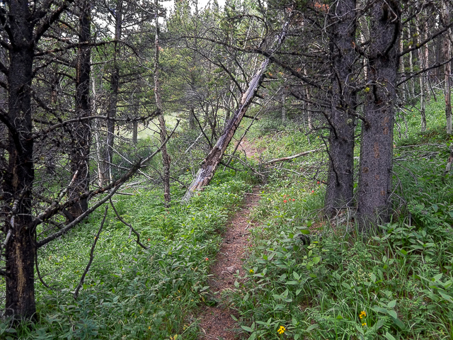
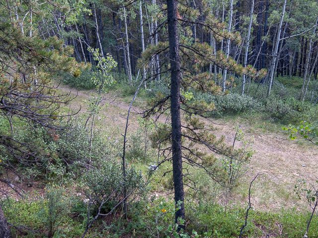
Enter a large meadow and look for an old logging road, a bit faint in the grass to begin with but more defined the further you travel. It trends in a southwesterly direction a bit downstream of the crossing. Into the trees, hit some zig-zags and gain some height. There’s some steeper shortcut trails that bypass these if you like.
Top out, a deep gorge-like valley to your left and home to Fiztsimmons Creek. You can hear it, but rarely can it be seen, way down there in the trees. Stroll along the grassed over road rising and dipping now and then. A pleasant walk in the woods.
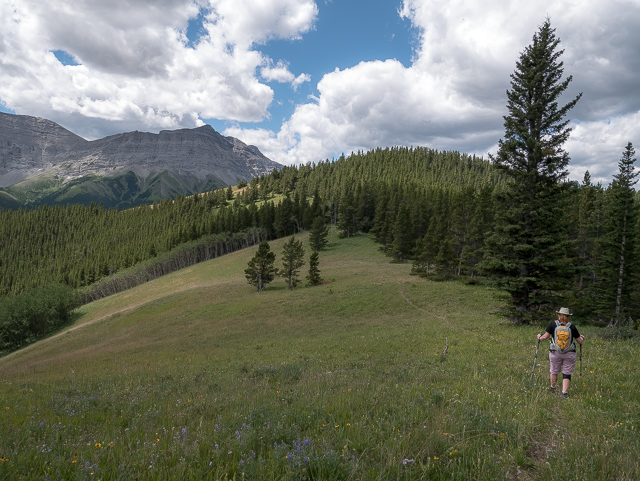
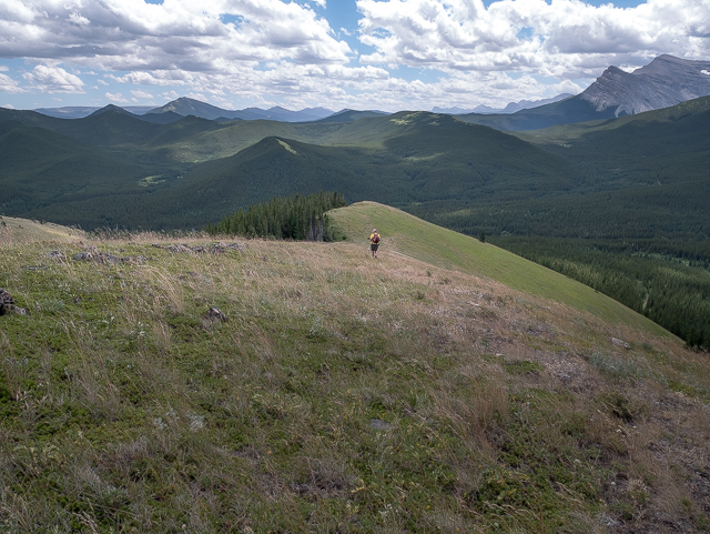
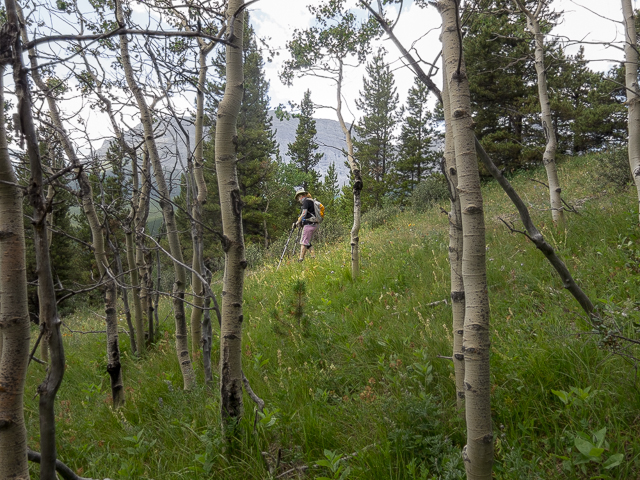
After a few clicks watch for a junction, marked with flagging on our visit, and leave the road behind. Awwww, but it was so nice and easy! Take the obvious single-track that seemingly doubles-back on the route you just came in on. That’s the one. It meanders, gaining elevation at a fairly steady pace, but never too steep. Where the trees thin, gain a ridge (we’ll call it the “east ridge”) and turn left. The trail fades away but the route is obvious.
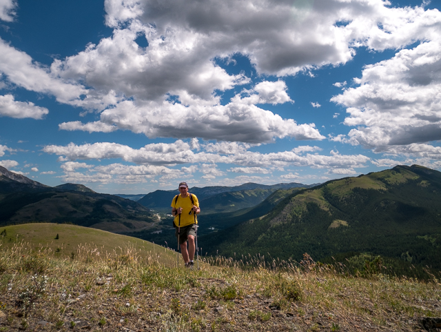
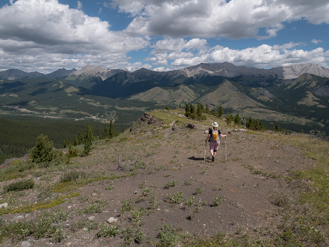
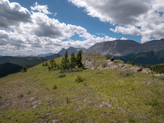
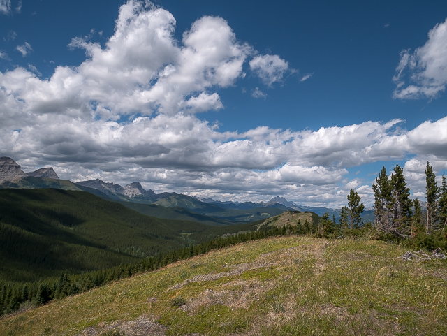
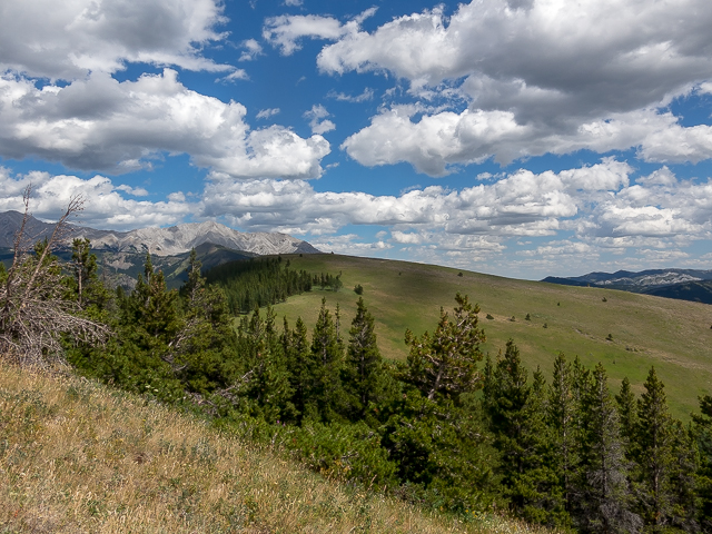
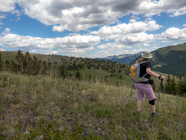
Views begin to open up. Climb higher, the going overall nice and easy. And top out. Wow! Not a bad spot to take in Mother Nature. That’s silence, broken now and then by the wind and more than a few times by rumbling motorcycles on the highway so far away. Then all those trees and hills and valleys and rocks…all of it. As that commercial says, “just breathe”. We’re in awe every time.
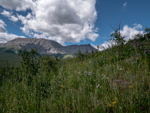
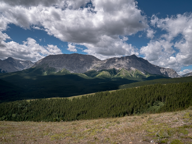
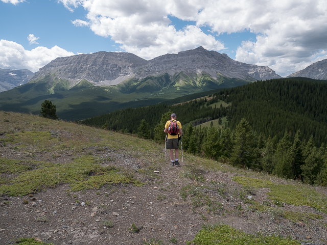
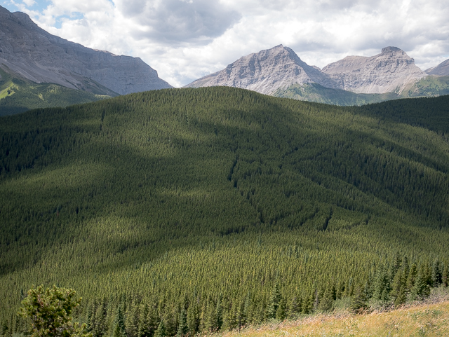
Spin around with us. There’s an impenetrable wall of peaks to the west – Baril Peak, Mt Armstrong, Mt MacLaren, Mt Strachan – lots of others most whose names fail me – all barren and rugged, thier lofty summits scraping the heavens. Up and over them is British Columbia. To the east, more limestone peaks, Holy Cross and Mt Head being most prominent from this angle These are all true mountains Team BIGDoer will never visit. They’re for the more extreme scramblers and mountaineers and we’re neither. No in-denial moments here. We do the lowly hills and ridges, with the occasional big one, assuming it’s not too technical or scary, thrown in for good measure.
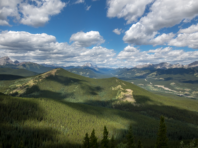
Lots and lots of rolling hills and ridges all about too and some of these we have visited. Included in the mix (pointing due east and spinning clockwise) we see Cat Creek Hills, Junction Hill, Gunnery Mountain and Mount Mann, a bit more off there in the distance and then Hells Ridge close in again. Is that Raspberry Ridge in the south, behind the Coyote Hills? Mist Ridge in the north? Mount Lipsett behind Oldlum Ridge? Picklejar Ridge, and nearby the route to the Picklejar Lakes over that way? In every direction it’s a sea of green.
This is our favourite part of K-Country. If that’s not already obvious.
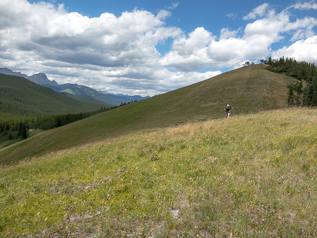
Directly west there’s a second summit connected to the Strawberry Hills and it’s on the agenda as the next place to visit. But first lunch, a mandatory thirty minute stop for the team, a chance to sit down, relax, take in some gourmet fare, sip some wine, chat, and just revel in the experience. This is our playground and we love it but there’s always time to slow down and have a picnic. It puts the extra in extra-special.
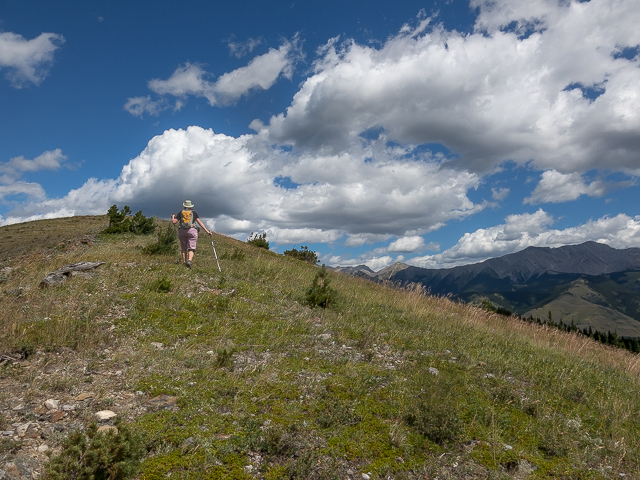
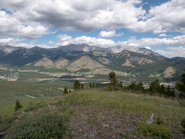
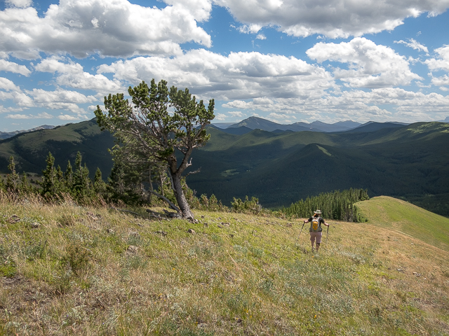
Now visit that other “top”. Drop down a bit, on a defined trail, pass through some trees, a bit of up, and you’re there. More views, angles differ…nice. Down there in the valley lots of old logging roads are seen. The cut blocks have grown in well since being harvested long ago (done in the 1940s-1960s we’re told). To the north are more of The Strawberry Hills but getting to them would requite a fair loss of elevation and some route finding to boot. Another time perhaps.
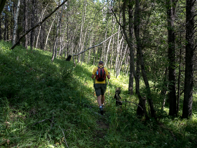
From here most people take the trail that heads west and downward, hitting a continuation of the that same logging road taken earlier just after entering the trees. We choose to hike the open ridge directly south of us down instead (the “west ridge”), sans trail, then bushwhack, our goal to intercept it further east. This would shave off a bit of distance and extended the views…and fun…for a total win/win!
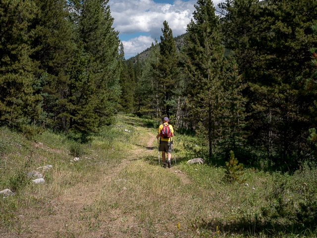
Dropping down, we pass many gnarled pines, all twisted and bent from the wind. Into the trees, dense in some places but less so in others, we take what ever line works best. As long as you’re heading south-ish you’ll hit the road. As it turns out we met up with it exactly where we left it earlier on the up leg.
Turn left, so east, and retrace your steps back to the car. If it’s hot look forward to that river crossing at the end. Ah, refreshing! If it’s cold, dread the thought.
We saw no one on the trail the day of our visit, and it was a weekend too. That suggests it’s a quiet one, a nice choice if you enjoy solitude, the whole place to yourself. That’s kinda how we like it. Nothing against other hikers, no way sir, it’s just our thing. There’s plenty of options to go further, more of the Strawberry Hills, or other places accessed via that logging road.
By the way we found not a single Strawberry hiking the Strawberry Hills. Sad face here. Horse flies were horrendous this day. Hope it’s better for you. Still nursing those bites.
Thanks for taking the time to read this post! Please comment below, we’d love to hear what you think of this adventure.
Some of our most favourite hikes from the area:
South Mist Hills.
Cat Creek Hills.
Raspberry Ridge.
If you wish more information about this trail, by all means contact us!
Date of adventure: July, 2017.
Location: Kananaskis AB, Highwood River area.
Distance: 13 km return.
Height gain maximum: 450m-ish.
Height gain cumulative: 500m-ish.
NOTE: all distances and heights are approximate.
Technical bits, warnings and notes: None, honestly, no, not a one. Really, trust us. We wouldn’t pull your chain.
Reference: Kananaskis Trail Guide by Gillean Daffern.
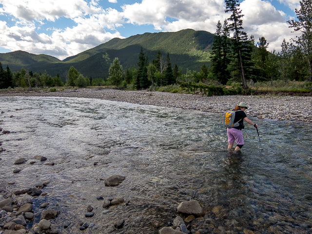
At the start of the Strawberry Hills hike, crossing the Highwood.
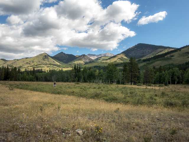
Connie follows…in back Cat Creek Hills and Junction Hill.
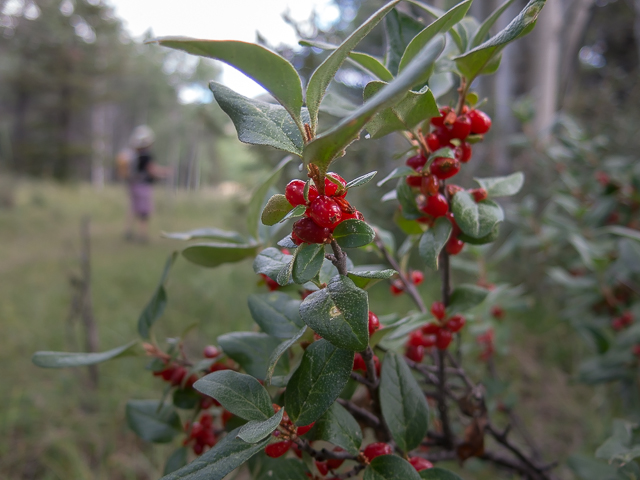
Buffalo Berries, yuk! But bears love them.
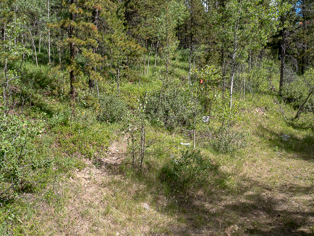
An old logging road is the trail in.
The going here is easy…
Here, take the trail on left doubling back (flagging). Road in, right.
Easy hiking…
Breaking out of the trees.
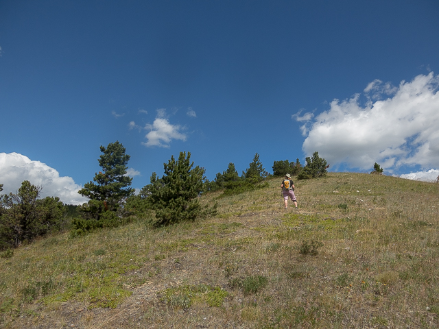
The trail fades but the way is obvious.
Gaining height…in back right Coyote Hills.
The grassy ridge in back will be used on the descent.
Not far from the top here.
Looking northeast…
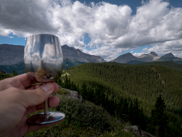
Wine, of course.
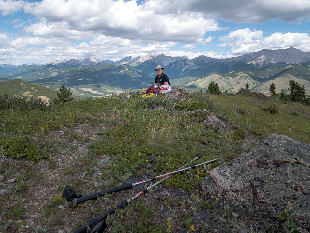
Hill top picnic!
Our favourite area of K-Country.
Up and over those peaks …British Columbia.
More of the Strawberry Hills in back.
We make our way to the second top in behind.
Dipping down between summits.
A bit of up here…
Pointing north.
Old logging roads are seen below.
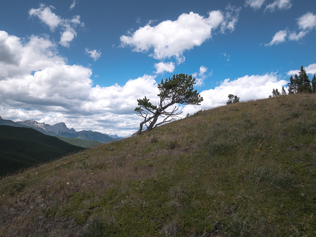
Gnarled trees are a reminder of the winds that blow here.
Off trail on the West Ridge, Strawberry Hills.
Pleasant hiking on grassy slopes.
The east summit, where we had lunch.
Hard to lose the way here.
The east ridge in back, used on the ascent.
Bushwacking it!
Bull’s eye! Back on the main logging road.
An easy stroll in the woods here.
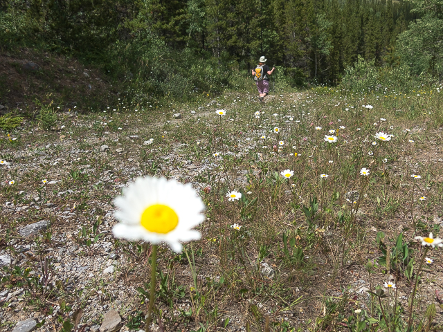
Lots of flowers in places.
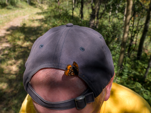
A hitchhiker.
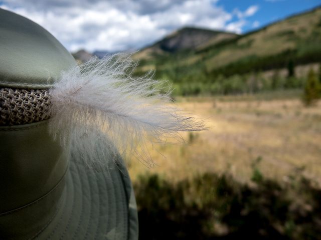
A feather in Connie’s cap.
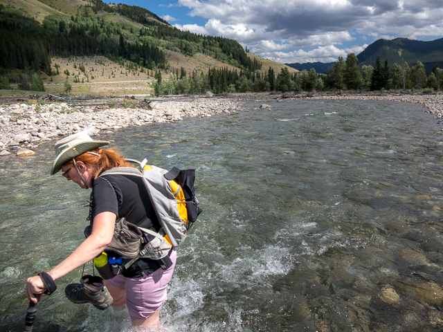
Welcome on a hot day.
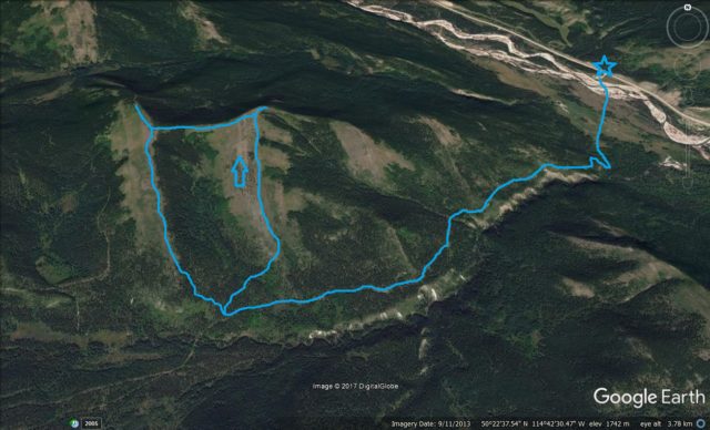
The Strawberry Hills route used.


Such a nice place. Such amazing scenery you have there in the Alberta Rockies. Wow!
We’re blessed, no argument there!
Beautiful scenery!!
I know, we’re so lucky to have this as our playground!
Lovely hike and photos. I hiked on the other side of the road last fall in the Cat Creek hills area.
We had an “experience” there a few years back, a real bush bash going up those hills. Lovely scenery but our choice of route was poor one. Almost gave up hiking that day! Thanks for commenting!