
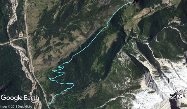
Junction Hill – Coal Road Approach
We’ve been up to the top of Junction Hill before, but for this outing we mix it up a bit and take a different approach when compared to the previous visit. Instead of tackling the east ridge head on as we did before (and as most people seem to do) we come in from the east, using a series of old coal exploration roads to gain a fair bit of the elevation needed, then transfer to the summit ridge roughly two thirds in for the final push. Hey, why not?
It’s a rather pleasant outing, save for the odd bit of bush-bashing here and there. Seems it’s not a popular route – in fact we found not a single trip report online where it’s discussed and only one mention in an old hiking book – and I doubt us sharing our adventure will change that much. Still it was a ton of fun for us. Now let’s get hiking!
Head west on Highway #541 from Longview and just before reaching Junction Hill (visible directly ahead at this point and just west of the ranger station), find the gated road and park. Hope the fence and head north. This is a storage area for Kananaskis Country – on this visit it was packed full of picnic tables. In years past, there was a logging camp here, later a coal exploration camp, and for a time, a minimum security prison type place at the site.
The summit of Junction Hill comes into view briefly.
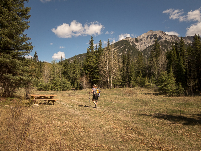
At a meadow, keep left and look for the coal road partially obscured by trees near the northwest corner. Head up gently. Soon on come to a junction – turn left on the “upper” coal road. The other, the “lower” coal road heads for a pass between Junction Hill and Stony Ridge, a nice destination in itself. We’ve been. (See: Junction Hill recon.)
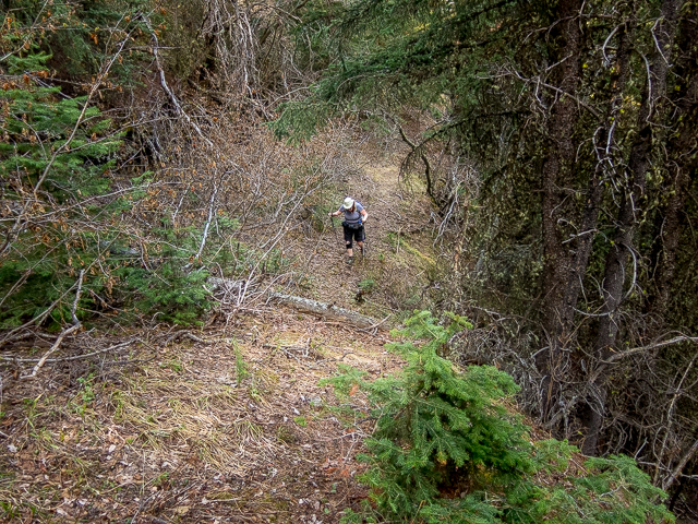
Come to a series of long sweeping switchbacks. The way is mostly in the trees, but now and then they open up. That’s the Highwood River over there and beside it the Highway you came in on. Occasionally there’s some dense dead-fall to negotiate. Duck under, climb over, or detour around these as best you can.
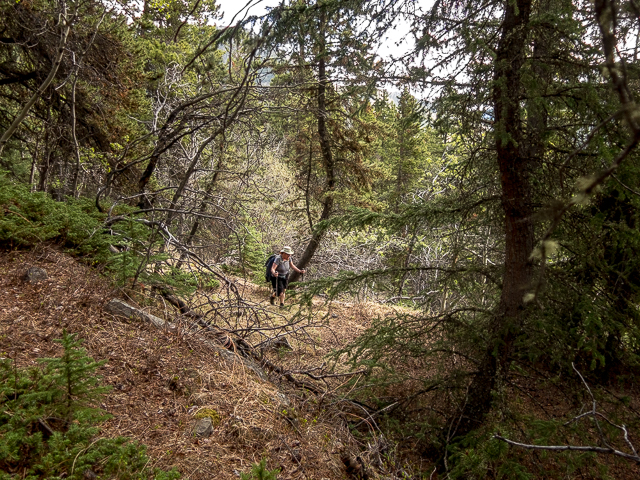
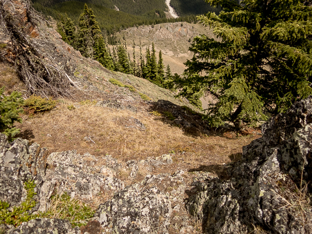
In places the road is well defined. Other times it’s faint and over grown and sometimes you might question if you’re even still on it. Go with your instincts. All the while keep gaining elevation.
These roads, by the way, date back to the mid-1940s and were put in by a firm called Ford-Highwood Collieries. The area is rich in coal and they cut these while exploring for suitable outcroppings. While some good seams were found, nothing more became of it. The markets were dying then and the distance to them too great, so it was destined to fail I suppose. Had a mine been established, Junction Hill would look a whole lot different today. I believe they planned to strip mine which would have levelled most of it. You might see some of the black stuff scattered about as you go.
There’s a good number of these exploration roads on hills in the area, dating from around the same time, many of which now double as good hiking trails. Coal mining in Kananaskis today would be a no-no, but back before it was a recreation area, it was there to be exploited. Reports show reserves in the millions of tonnes.
Now and then you mighty see the lower coal road, in particular where it cuts a zig-zag across a grassy hill below. Mostly the view is obscured however, but that’ll change soon enough.
Without warning the road dead-ends. Now what? No worries, drop down on a game trail in dense brush and find a second road. I suspect these two were meant to join but it seems they missed the mark a bit.
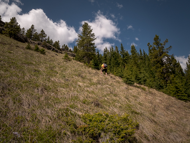
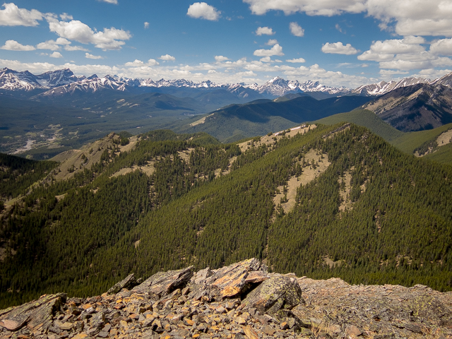
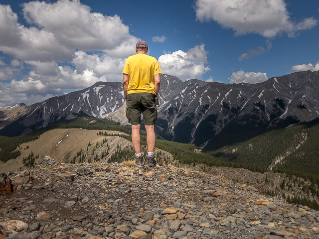
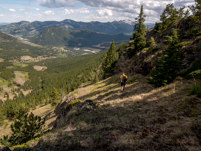
Start climbing more steeply. The trees thin and soon you’re traversing fairly open slopes. The cat-drivers who made these roads had brass boy-bits! It’d be a long deadly tumble down into the valley if something went wrong. Holy Cross Mountains and interconnected Mount Head make up that towering wall of rock to the west. Directly across is Stony Ridge. Looking south-ish there’s Gunnery Mountain and Mount Mann.
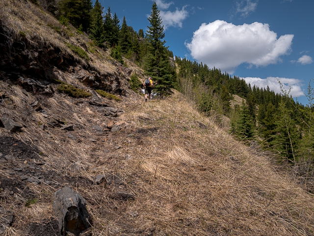
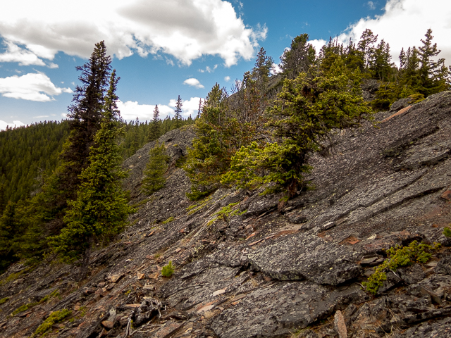
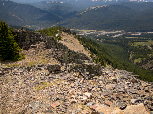
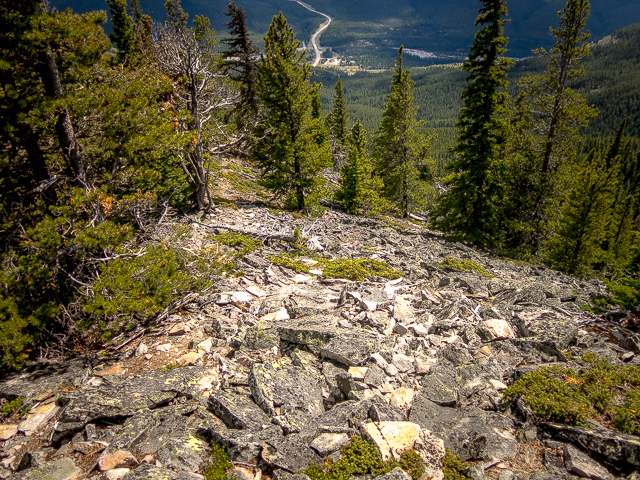
Just before the road dips down, take to the steep grassy slopes to your left and climb. Head for a break in the cliff band to the right. From there a ramp leads to the rocky ridge top. It’s not far at all. Now it gets a bit more technical. Follow the sometimes narrow ridge up, either by walking atop the crest or dropping down a bit lower to the left. There’s occasional trails.
The trees growing here are often wind-gnarled and in places they from a thick wall one much punch through – there’s no choice. Expect some loose rocky sections underfoot as well.
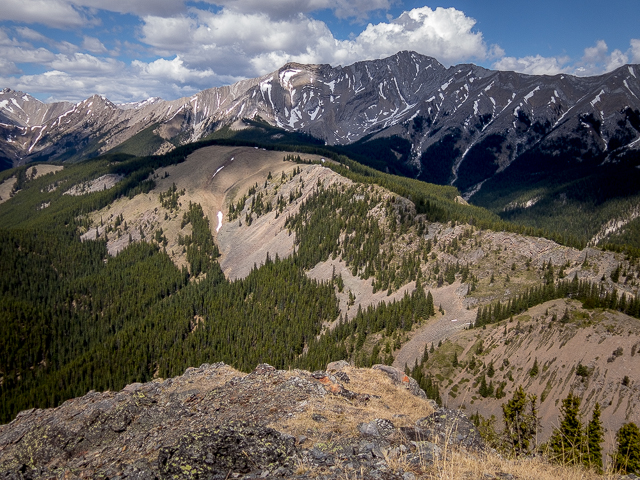
The false summit comes into view and looks so far away. Turning and looking south, Hells Ridge is seen, as it the Coyote Hills. In between there’s a dusty old road, Highway #940. That’s Raspberry Ridge in the background. To the west, there’s a grassy topped Strawberry Hills. In behind, there’s a impenetrable wall of limestone marking the Alberta/BC border.
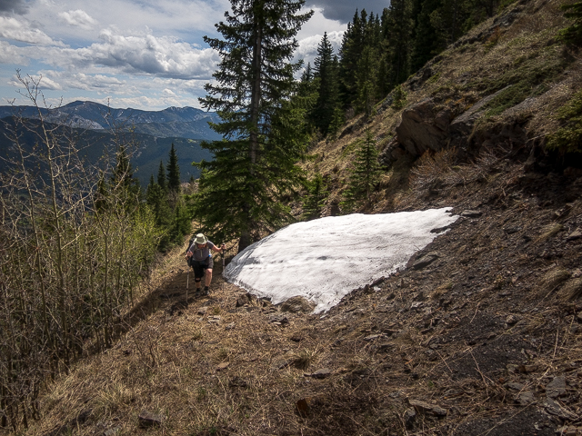
More loose rock, steep slabs and stunted trees. Climb up steeply. Connie twists an ankle here, so I continue on solo.
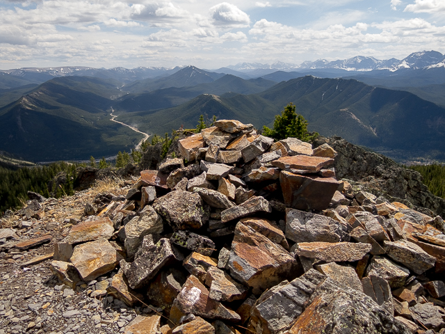
Come to the false summit and soon after the true summit. Wow! We’re on top of the world. Well, kinda. Directly north is Cat Creek Hills and in behind a endless sea of minor bump and peaks. I spin around and take in our most favourite section of Kananaskis. So love taking in all the hills and ridges here. It’s so much quieter than other parts – we had Junction Hill completely to ourselves. It was ours. The east ridge is seen below – on our last visit here, we used it on the descent. Click, click, click goes the camera. It’ll be hard to leave.
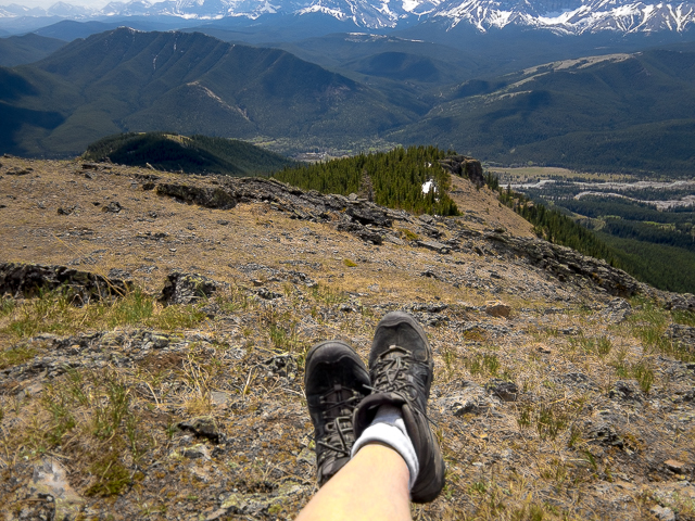
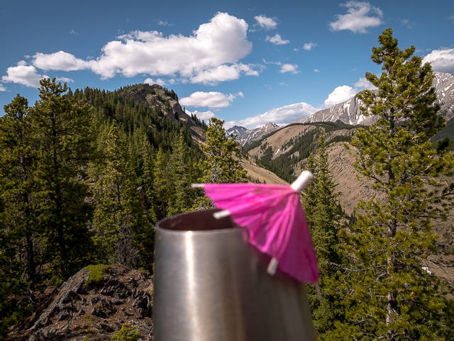
After soaking it all up, a quick hike and I’m back with Connie. We hunker under an outcropping and enjoy lunch and of course pair that with a fine wine. It’s how we roll. Sit back, put your feet up and enjoy. I could do this all day.
When ready to leave retrace your steps. On hitting the coal road again, one could continue north on it briefly, dropping down and intercept the lower coal road and then double back from there. We thought of it, but with Connie’s soreness, that would add a click or two more to the total distance and so perhaps some unneeded pain for her. So we did it out and back style.
Junction Hill was tick-city on our visit. We found more than our fair share crawling on us. Little devils. Seems the deer that hang about on Junctions Hill – we saw lots of their poop. No bears signs this day but we heard a couple regulars hang out in the area.
Bam, another most enjoyable hike in the can.
We’re no strangers here…
Junction Hill.
Junction Hill recon.
More coal road approaches…
South Mist Hills.
Mount Lipsett.
Pasque Mountain.
If you wish more information about this trail, by all means contact us!
Date of adventure: May, 2018.
Location: Kananaskis, AB, Highwood Area.
Distance: 12 km out and back.
Height gain maximum: 720m-ish.
Height gain cumulative: 780m-ish.
NOTE: all distances and heights are approximate.
Technical bits: Some route finding issues
Reference: Kananaskis Trail Guide by Gillean Daffern.
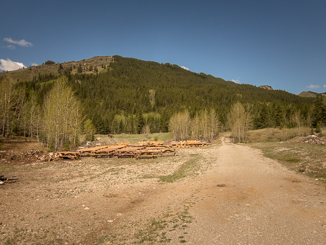
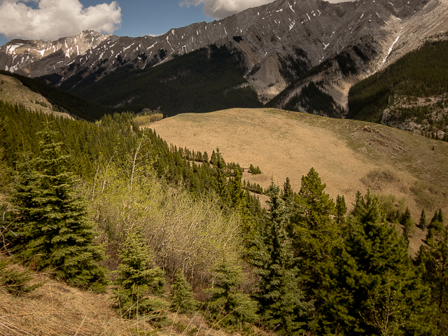
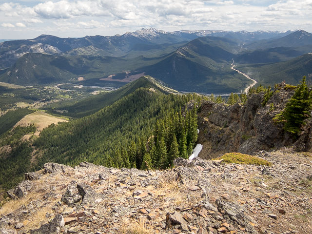
The summit is the second bump from right way in back – lots of picnic tables!
Towering Mount Head.
At a switchback on the upper coal road.
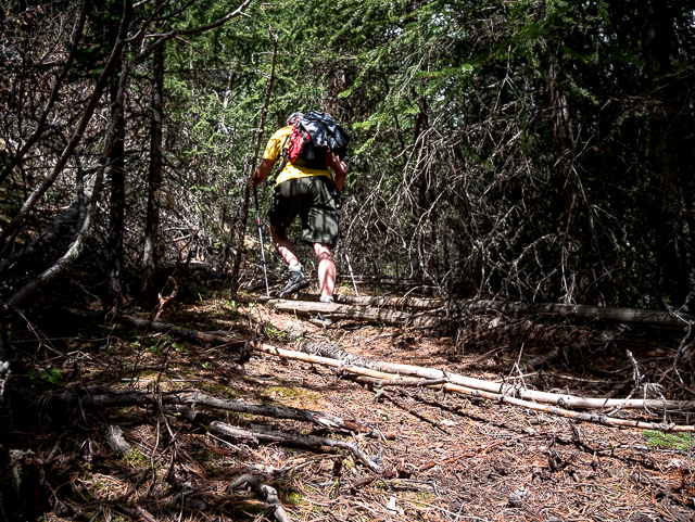
There’s dead fall and thick underbrush at times.
A line of trees below mark the lower coal road (look for the zig-zag).
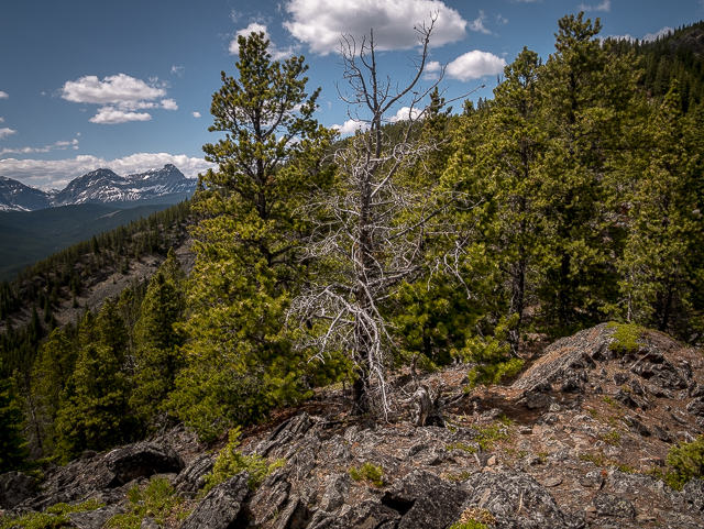
Higher up the trees finally thin.
The road will soon be left behind.
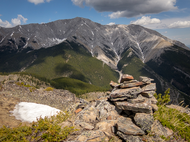
Centre, Gunnery Mountain.
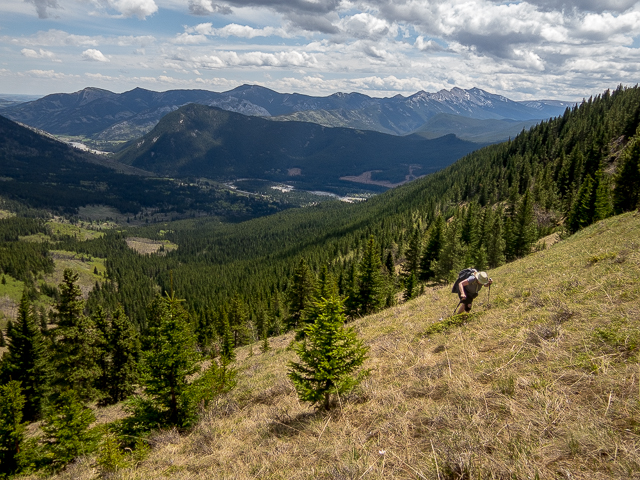
On steep grassy slopes – Mount Mann in back.
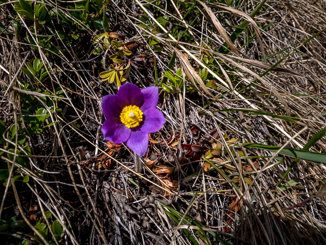
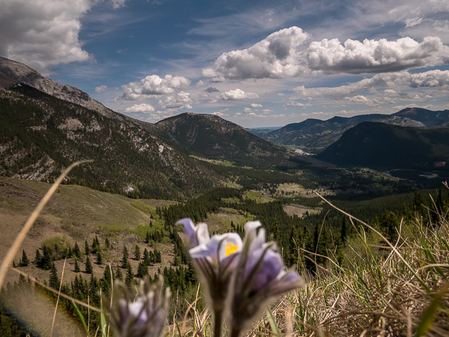
Prairie Crocus, the first flower of spring.
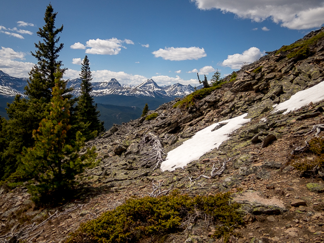
Soon to gain the ridge.
Slabs on the ridge crest.
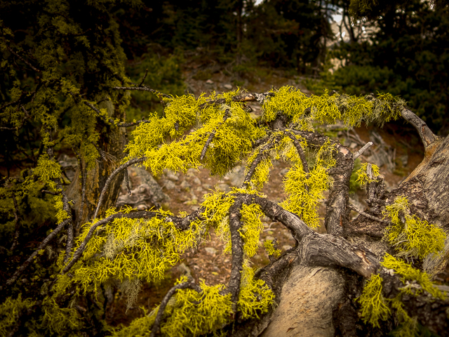
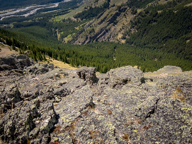
This bright yellow Lichen grows in profusion here.
A wind-gnarled tree – lots of them here.
Almost at the top!
Holy Cross Mountain.
A small downclimb here – don’t trip.
Cat Creek Hills, another place we’ve been.
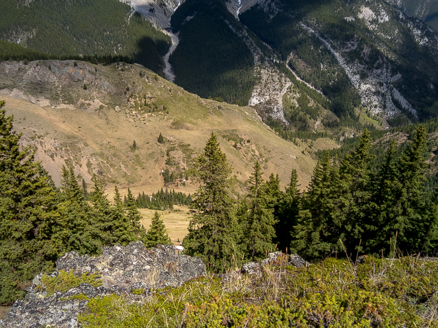
Stony Ridge in front.
Looking south – to the right, Coyote Hills.
The east ridge – Connie’s down there – Hells Ridge in behind.
Taking in the view.
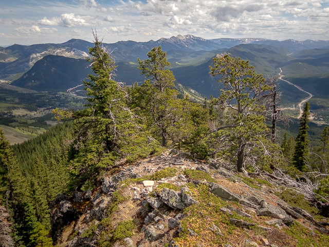
The west ridge.
Ahhhhh…one of the Strawberry Hills in back (right, grassy top).
A deep valley to the north.
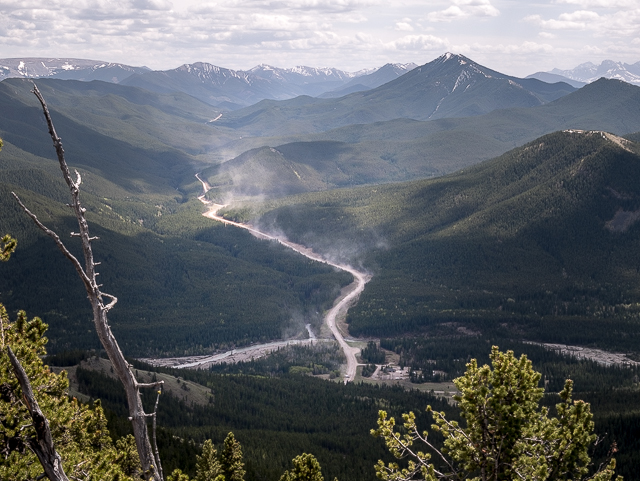
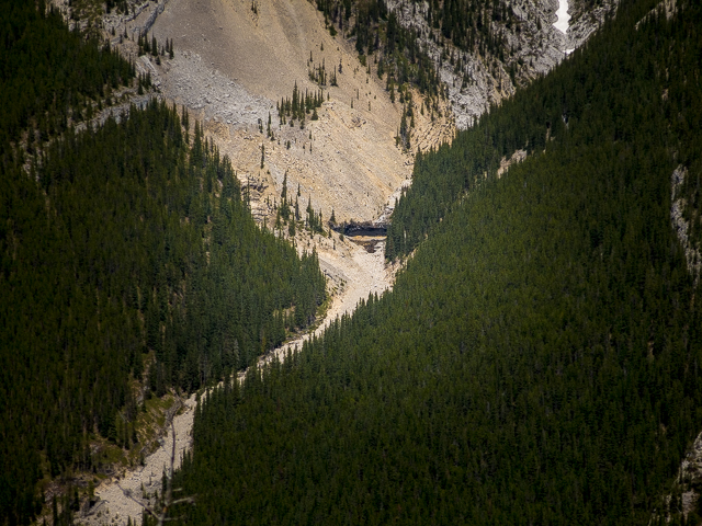
The dust flies on Highway #940 – Raspberry Ridge, back right.
A long drop down here.
Heading down – the ridge crest is rather narrow.
Loose rocks on this section.
A small tarn (pond) on Holy Cross.
Back with Connie, the false summit is seen – cheers!
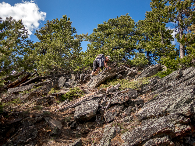
There’s some “sorta” scrambling in places.
On the grassy ramp.
Back on the road.
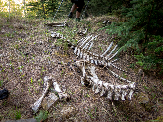
Picked clean!
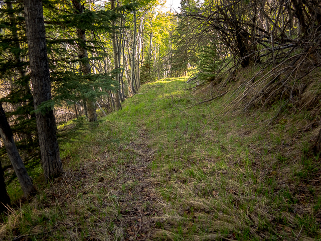
The going is easy here.
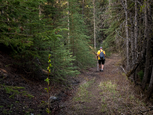
A most pleasant time on the old road.
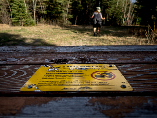
Be bear aware.
Junction Hill, the coal road approach.


Well done! Noticed the road when we did Junction Hill last year and was curious where it lead.
Awesome, thanks! I bet a lot of people see it and think the same thing.
Awesome!
It was a great hike!
Top of the world.
Sure love that feeling!
Great views and photos! That dusty road pic is neat!
It’s a ton of fun that hill. And yeah, it’s cool how the dust hung in the air. There must have been no wind whatsoever down there.