
Barrier Lake Lookout loop
This trip, our third up to the Barrier Lake Fire Lookout, we make a loop using the Jewel Pass and Stoney trails. A nice change of pace from the normal point to point route. this way is a tad longer and offers some nice new and exciting views along the way. That is if it wasn’t for the fog this day. It rolled in as we arrived at the trail head and did not disperse until we had returned down from the summit (of course). The scenery this trip will be limited so just use your imagination. :>
We start by crossing the Barrier Lake dam. The wind often gusts here creating white caps on the lake, but this day it was fairly calm. Even in summer the cool mist whipped up can be chilling and I am glad we avoided these unpleasantries.
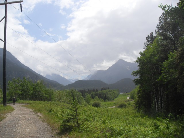
Just beyond the dam, at the power line right of way there is a junction. Instead of taking the old lookout horse trail to your right, we follow the power line access road down the lake. A couple kilometres later, sometimes on the road and under power lines, and other times on a single track trail following the lake shore (part of Stoney Trail), we come to the signed junction with the Jewel Pass Trail. Dipping under the power lines again, we follow this new route up towards a saddle
Heavily forested, there is not much to see, but that will soon change. After criss-crossing the stream we’ve been following a couple times, we come to a side trail. Not more than a minute away is Jewel Falls, a nice little diversion. By late summer the falls are normally a trickle but at this time of year with all the rain and the melting snow pack, it’s running much higher than usual.
At the saddle, we come to a four way junction. The trail we want is to the extreme right – the other two options take you down the Quaite Valley, where there is a back country hike-in campsite. There is a sign here, so you won’t get lost.
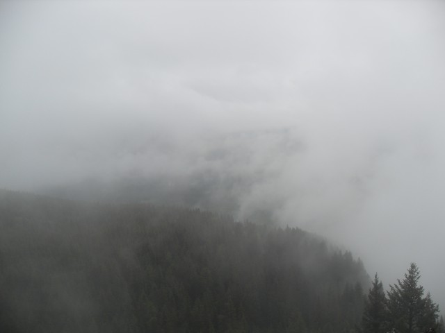
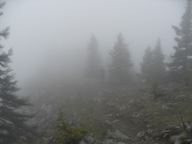
Still deep in the trees you head up more and more and just when you think you’ll never see anything, you break out at the top of a rocky bluff on McConnell Ridge whose spine we’ve been travelling up. Here’s the views you’ve been waiting for. Wait, it’s still foggy, so it’s a big disappointment.
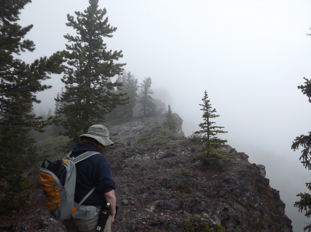
At this point you are near junction with the other trail up and for the the rest of the trip it’s all familiar territory. Heading up again, we leave most other people behind – oddly most of those using this trail turn around at the rock bluff we just left (it does offer good views), but for a little more work, there are even better ones at the top. We are now on Yates Mountain.
Arriving at the Barrier Lake Lookout, we are rewarded with more fog. Normally it’s a stupendous place with great vistas of the Bow Valley, but today everything is obscured. The lookout is manned, however I doubt the person has much to do this day. While enjoying our lunch a chubby cheeked chipmunk stopped by to say hi. The whole time of our visit, we could hear the Trans Canada highway far below, but we never saw it.
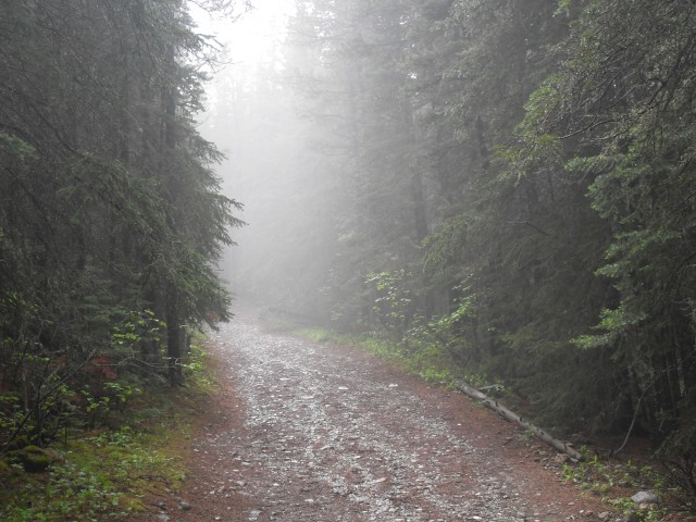
Heading back now, we retrace our steps back to the last junction and take the usual route down. Known as the Pigeon Lookout Trail, it’s mostly a wide well drained path that was the access route to the old Pigeon Fire Lookout (located down from the current lookout, which superseded it). Past the old lookout site the trail plunges into the trees and stays that way as it zig-zags down to Barrier Lake.
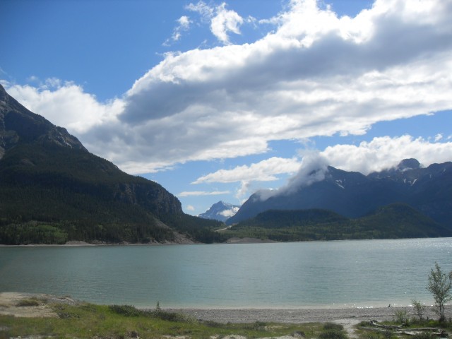
At the lake, miracle of miracles, the fog lifts and within minutes we are treated to lovely blue skies. Why couldn’t that have happened when we were on top?
Continuing along the damn, we have clear views of the mountain we just came down, along with Mt Baldy ahead of us. This mountain is a popular scramble route.
There has been lots of rain so far this year and with the higher than normal snow pack in the mountain, the lake is full to bursting and the dam spillway is a raging torrent. Prior to this visit, I have never even seen it open.
A lot of people shoot down this trail, but I don’t see it as being that bad. Sure, it’s often busy and it’s sometimes foggy at the top (it has been twice for us), but over all we still had tons of fun. And isn’t that what it’s all about?
I am certain we’ll visit the Barrier Lake Lookout again since the mountain it sits on is often the first to come into season in the spring. While other mountains are still cloaked in snow, this one is often doable in April or May.
To see some other places we’ve been up, follow these links…
Eagle Hill.
Picklejar Ridge.
Mist Ridge.
If you wish more information on this trail, by all means contact us!
Date of adventure: June 2012.
Location: Kananaskis AB, Bow Valley area.
Distance: 16km for this loop.
Height gain from start: 680m (other reports I’ve seen say 600-750m)
Height gain cumulative: 680m.
Technical bits: None.
Notes: Watch for bikes coming down the hills. They can be moving quite fast.
Reference: Kananaskis Trail Guides by the Dafferns.
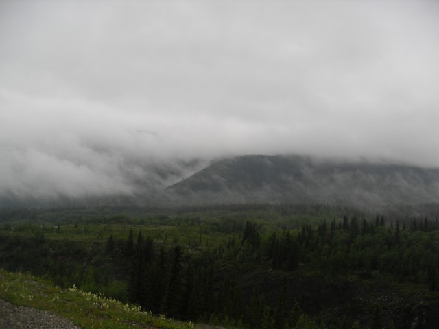
This fog would stay with us most of the day.
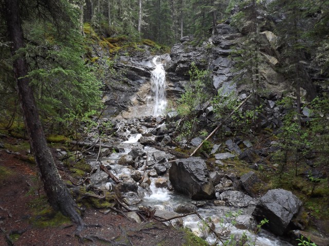
Jewel Falls, running high here but often a trickle by late summer.
On McConnell Ridge, we beak out of the trees.
There are some nice views up here – really!
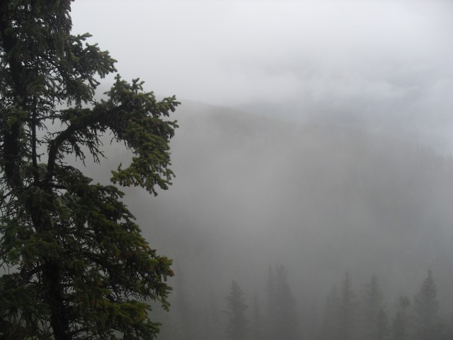
More fog – enjoy!
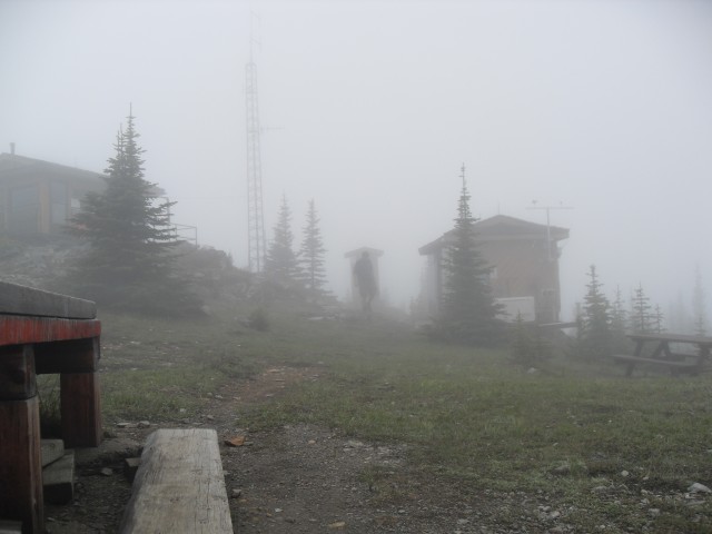
At the lookout, and guess what, more fog.
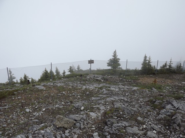
Just beyond this fence is a huge vertical drop off.
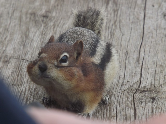
This chubby cheeked fellow stopped to say hi.
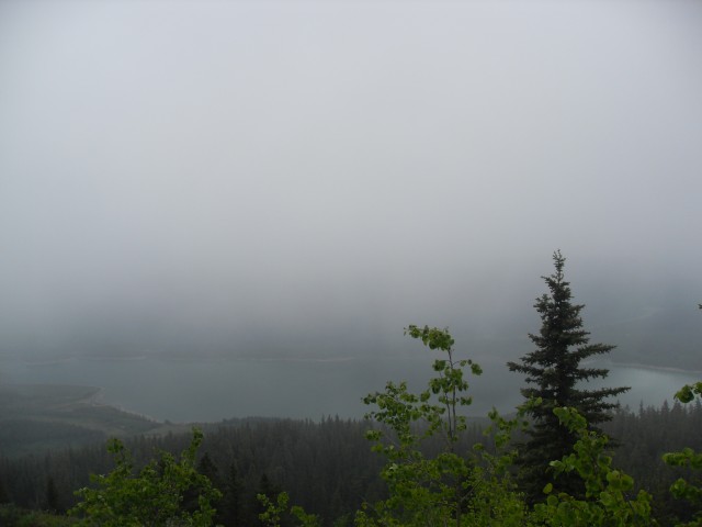
Normally, we’d have a good view here.
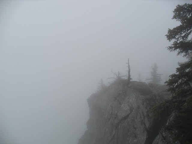
It’s straight down here, but you’d never know it.
The fog lifts for a second and we get to see Barrier Lake.
The old horse trail is our route down this trip.
At the bottom, the fog lifts.
Barrier Lake was unusually calm this day.
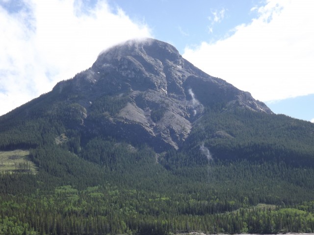
Mt Baldy across the lake is a popular scramble route.
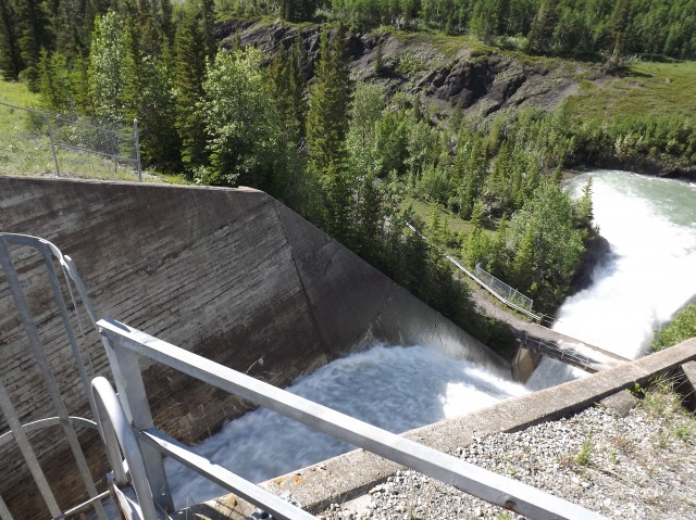
The dam spillway was a raging torrent.


Cool story and some GREAT pictures too. Thanks!
Is that little waterfall hard to get to? We hike but are not terribly fit and as long as it’s not too hard, we would like to try it. Thanks Gillian.
Hi Gillian, To the falls it’s a few kilometres each way, plus a little elevation gain. Not terribly hard and easily doable if you are moderately fit. Give it a try, you’ll like it!