
Jumpingpound Loop Clockwise
It’s located in the quiet Sibbald section of Kananaskis, a loop trail in the foothills, moderate in length with zero challenges and a real pleasure to hike. It keeps to trees mostly, but there’s still lots of scenery and occasional far reaching views of mountains beckoning to the south and west. Here we’re taking in Jumpingpound Loop, accessible all year but generally best done in the off seasons when many K-Country trails can’t be reached account seasonal road closures or due to deep snow further west.
We’ll be doing it in a clockwise fashion starting at the trail’s western end. You can mix it up and go the other direction, or begin in the east, it’s all up to you. No matter, fun is in the cards. This was the very first hike in the woods for Connie since her battle with breast cancer some two months prior, and she did amazingly well. Such strength, such an inspiration and with you all rooting for her it kept her strong and in good spirits. Thanks for all the kind messages and calls of support.
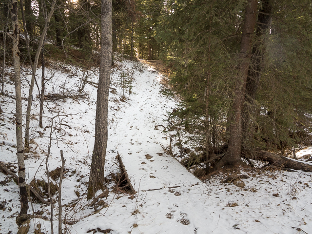
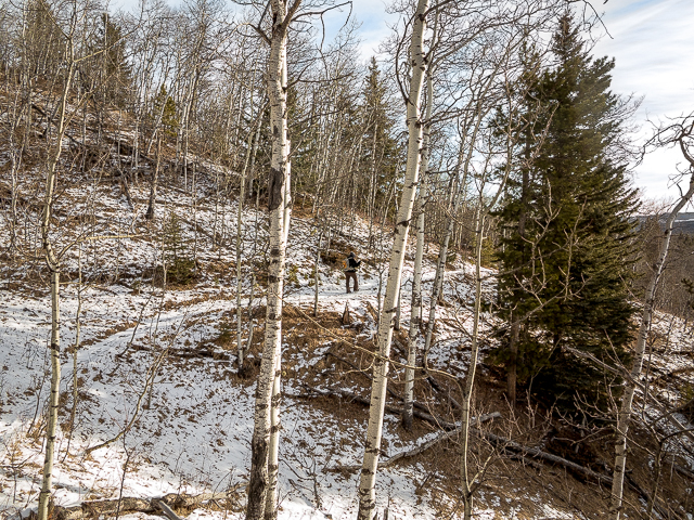
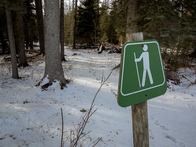
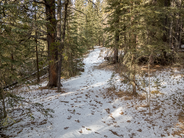
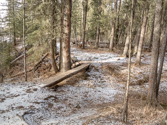
On Route #68 west of Calgary, park along the gravel highway (a dusty affair) near the Pine Grove Recreation Area access road. Suit up and intercept the trail a short distance to the west and turn hard right. Heading east now, climb up for a short time then plunge into the forest. The trail rises and falls a little and trends left and right keeping roughly parallel to the road but generally out of view of it. Dip down at some (bridged) stream crossings. Jumpingpound Loop Trail is official, so is marked and signed. Not that the way isn’t plainly obvious.
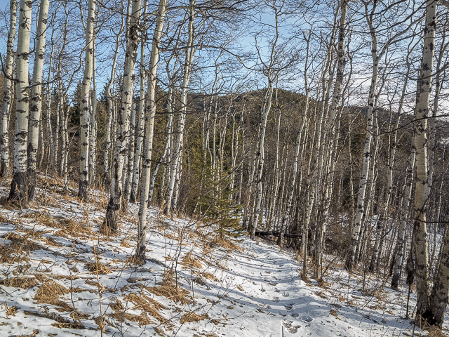
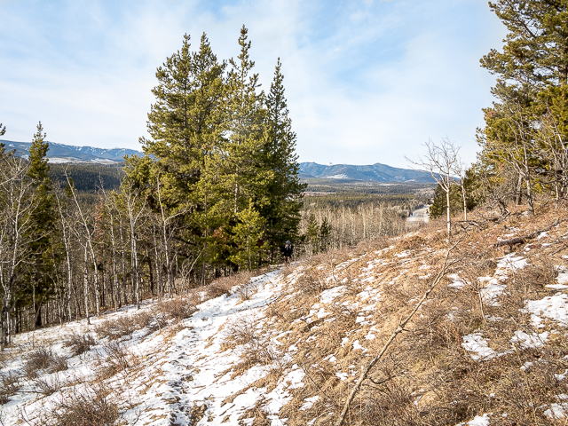
At the occasional meadow, take in Moose Mountain far in the south, and to the west, there’s Cox Hill and Jumpingpound Mountain. And below, it’s rolling countryside, home to a vast expanse of forest stretching off for some distance. This is the foothills of Alberta.
Look for animal prints along here. Seems many of them frequent the trail, and we saw bear, deer and what looked to be wild cat prints (we think – Canada Lynx or Bobcat are possibilities) on this section. Pass a junction, which takes one to Jumpingpound Creek Recreation Area and can be used to shorten the loop if you’re so inclined. Drop down behind Camp Cadicasu at a large meadow and then it’s back into the trees.
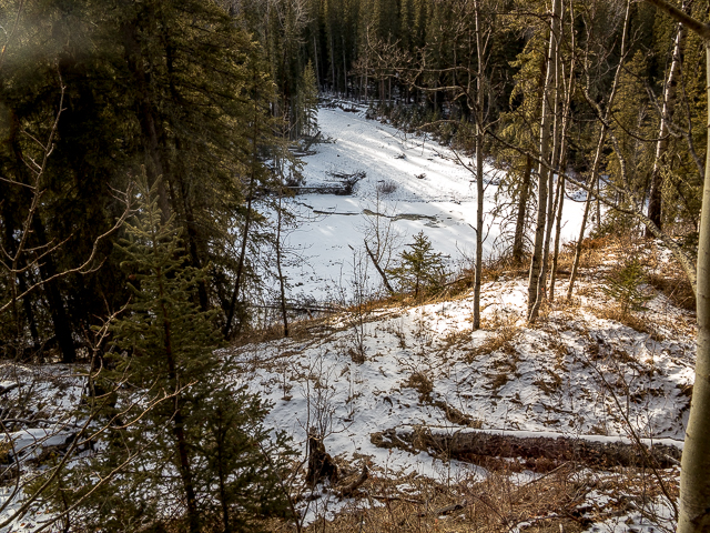
It’s a short descent to the highway and on crossing over, enter Pinetop Recreation Area. A nice diversion if you like – take a side trail down to Jumpingpound Creek for a look. Mid-winter on our visit and it’s unfrozen – this crazy weather. The trail keeps fairly close to the watercourse and many times is within view of it down there.
Heading west now the Jumpingpound Loop Trail here is mostly level save for a few places where it dips down to cross a couple draws. Along here Connie trips and takes a tumble. And hard. So what does she do? The toughest cookie anywhere, she stands up, brushes the dirt away, laughs it off and gets back to hiking. It had to hurt bad. Hardcore, that girl.
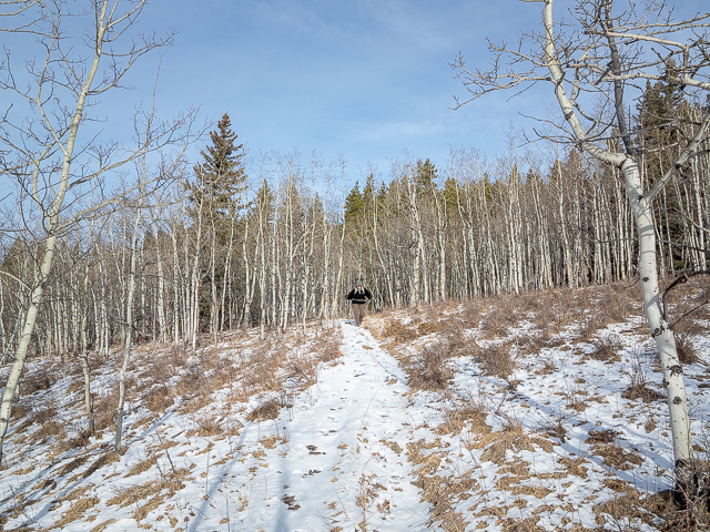
Still pointing west, it’s a pleasant meandering stroll through woods and meadow. Speaking of trees, it’s mostly a mix of pine, spruce and aspen along here. In summer, as mentioned in some old notes, there’s a fair number of mushrooms to be found along this section, where the conditions are right of course. We encounter some slippery sections in shaded areas but otherwise it was nice and easy.
Pass behind the Jumpingpound Creek Recreation Area. Along here we find a nice fallen tree to sit on and enjoy lunch. It’s smoked meats and cheeses of the world, a fine “Verdejo” from Spain, reminding us of our most epic El Camino trek from last year, and topping it all off with spirited conversation. Can’t help be be thankful for the day – we have the world’s best playground where we live – and that Connie’s here to enjoy it – and that our eats are just so damn yummy. Here’s to life. And a long one at that too. And here’s to Cancer having its ass handed to it on a plate. With Connie on the mend, the world is just a little more special now.
Come to the Pine Grove Recreation Area, and at a large grassy meadow trend north. Soon in you’re back where you started. There’s the highway. It’s over already, but we’re so happy to have done it. Hope it’s fun for you too.
On the eastbound leg of the trail, we saw no other hikers. On the return leg, it was more busy with several groups and parties seen. Perhaps not all do the full Jumpingpound Loop. It seemed more of a workout for us, account us being less active while Connie healed. But we’ll get back into shape.
Till the next outing, happy trails!
Awesome hikes in the area…
Deer Ridge.
Ole Buck Mountain – Mountain…that’s funny!
Return to Eagle Hill.
If you wish more information about this route, by all means contact us!
Date of adventure: January, 2019.
Location: Kananaskis, Sibbald Area.
Distance: 9.5km (ish).
Height gain maximum: >100m-ish.
Height gain cumulative: 250m-ish.
NOTE: all distances and heights are approximate.
Technical bits: Seriously?
Reference: Kananaskis Trail Guides by Gillean Daffern.
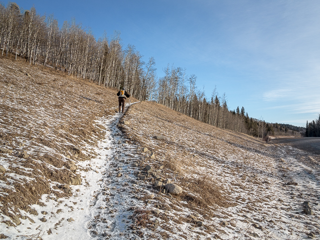
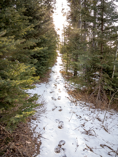
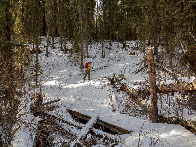
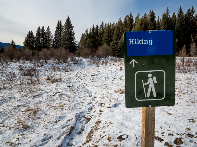
Starting out on the Jumpingpound Loop.
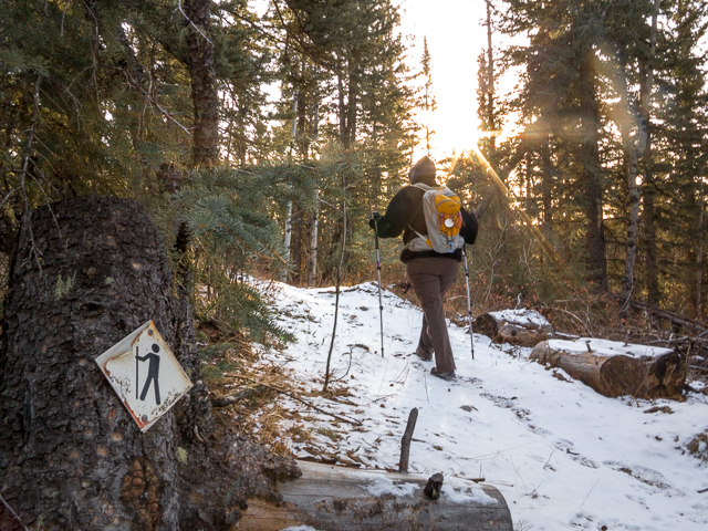
These little hiker symbols help show the way.
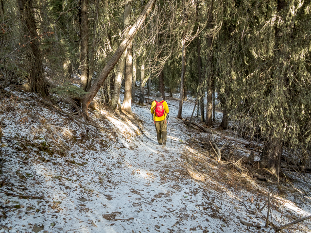
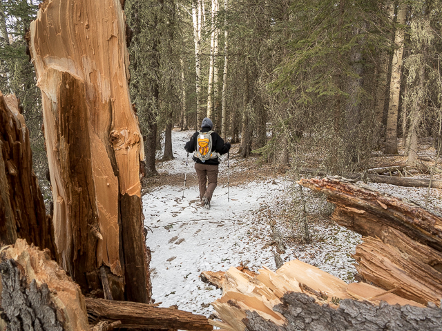
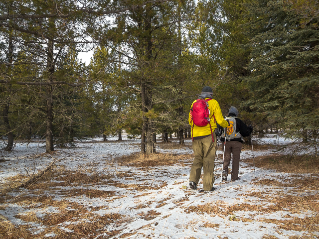
Our first “woods” hike in some time.
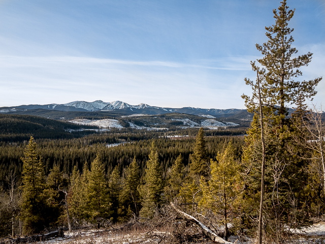
Off in the distance, Moose Mountain.
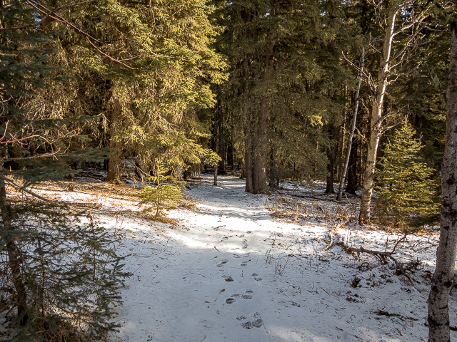
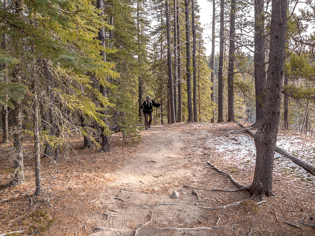
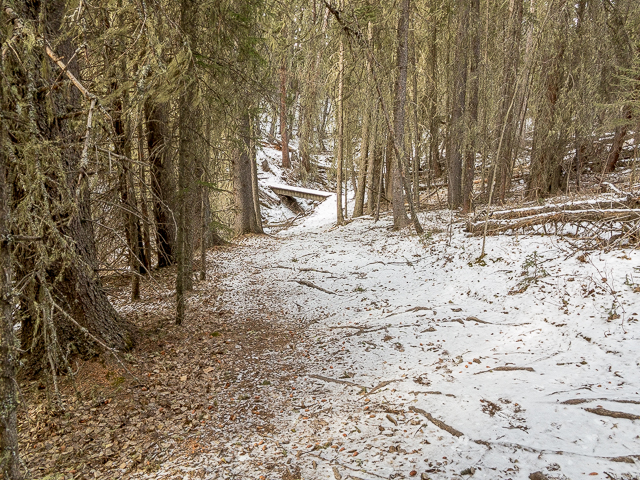
The trail is easy going.
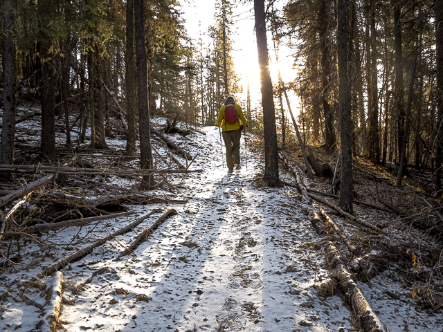
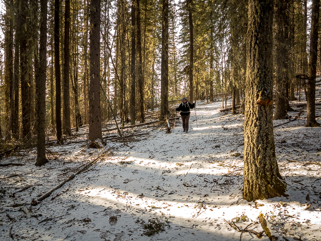
It spends most of the time in the trees.
Connie, the toughest ever.
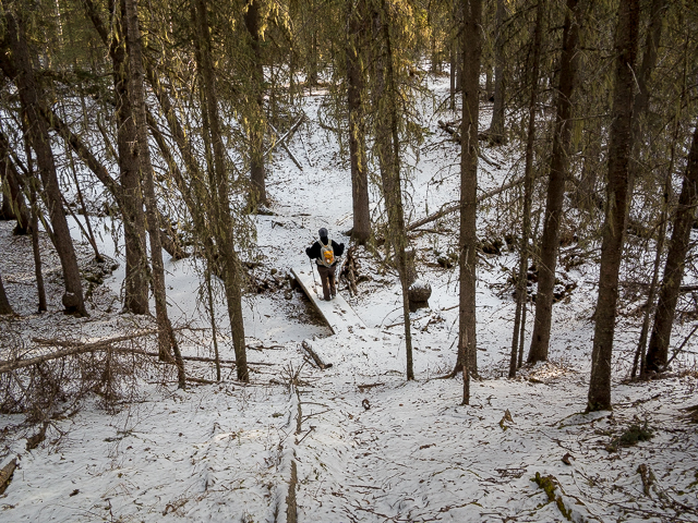
Creek crossings are bridged.
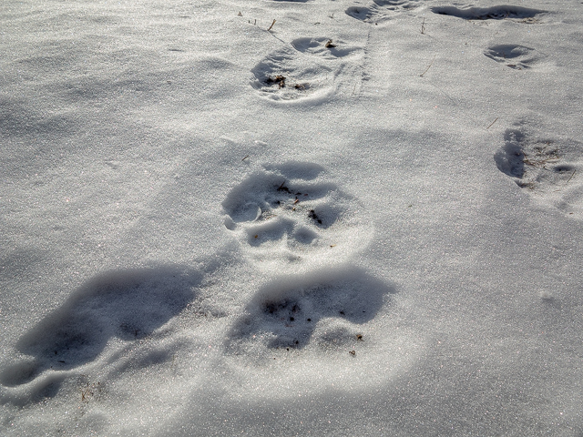
Looks to be from a wild cat…maybe.
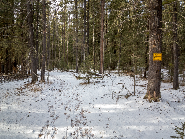
Little snowpack on our visit.
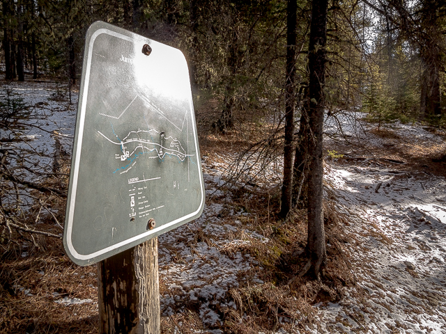
At a junction, this map.
This is the (quiet) Sibbald area of Kananaskis.
Out of the trees for a moment.
A great day for a hike, for so many reasons.
It’s literally a stroll in the woods.
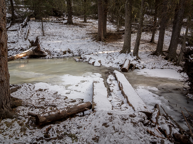
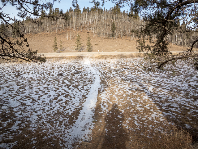
We hit ice flows in low lying areas.
And we realized how out of shape we were.
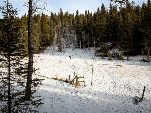
In Camp Cadicasu’s backyard.
This way…
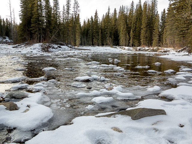
Little Jumpingpound Creek.
Near Pinetop Recreation Area.
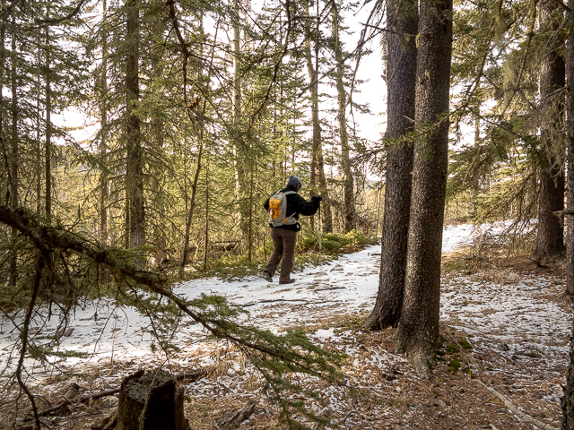
Even after taking a tumble…
And on through the forest.
Higher above the creek now.
It was a tad slippery here.
Me thinks it’s time for lunch.
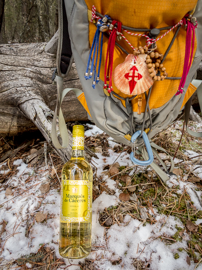
El Camino Trinkets…and wine.
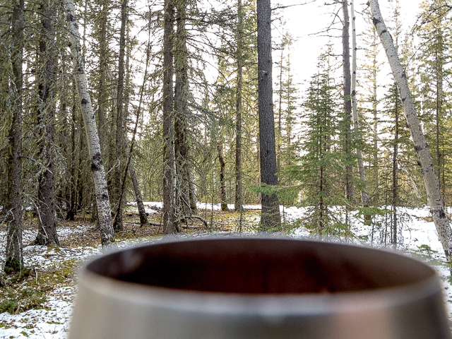
It’s always better with…
One more step in getting better.
A tree that snapped.
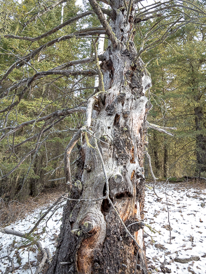
Knarled and weather beaten.
Entering Pine Grove.
Follow the arrows…
Damn, it felt good.
And soon we’re back where we started.
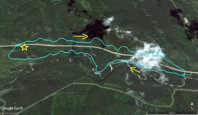
Clockwise, ’cause we can…star=start.


Go Connie!
A fighter that girl.
Thanks for sharing Chris and Connie. Hope you folks are well.
Doing good and that’s a blessing.
A fine feat!
Thanks, Connie appreciates all the love.
Most remarkable. My first outing after kidney transplant was ❤️
Connie’s not letting it impact her life. Bravo to her. And bravo to you for being a survivor.
Complimenti !!!!
Grazie!
Awesome news!!!
She’s doing better than anyone could ever imagine.
Bravo!
Connie’s a fighter through and through.
Fantastic!
Connie appreciates the support.
Nice area you live in.
As we’re often heard to say, we have the world’s best playground where we live.