
High Noon Hills
We did this hike once before a few years back. Well, part of it anyway. On this visit to High Noon Hills, however, out in the Sheep River Area of Kananaskis, we take in both of them instead of just one. These two little bumps are located right at the K-Country boundary, west of Turner Valley on #546, and are accessible all year round. Go spring or fall, though, to avoid sharing the trail with cattle. In spite of their modest stature, there’s still some mighty fine views to be had from each “summit”, of rolling hills, endless forests and big towering peaks to the west. Not bad at all.
It’s a short hike, perfect for when time or ambitions are lacking. Or if you need some early season conditioning account a long drawn out and stressful winter (us).
There’s a small pull off where you can park along the highway, north side where it tops out on a small rise, about two clicks west of the Kananaskis Boundary. The trail heads off on the opposite side of the road. Climb the embankment and soon in, turn left.
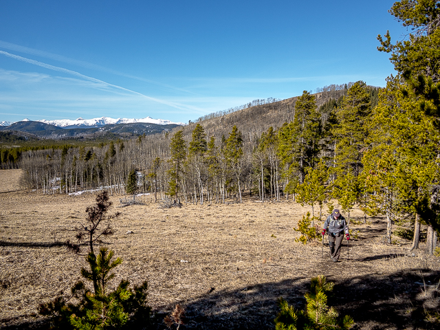
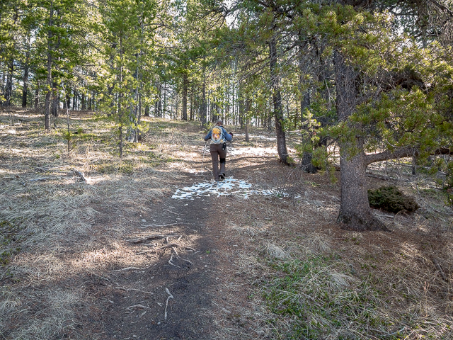
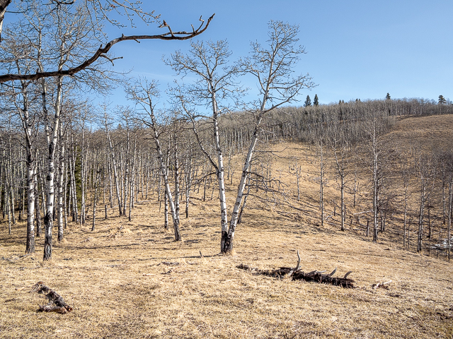
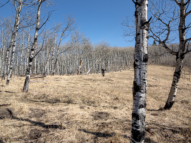
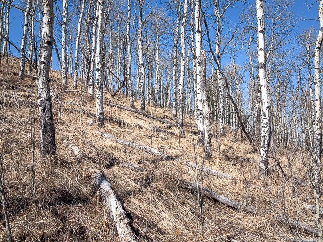
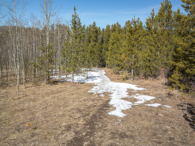
Follow the obvious path as it meanders in and out of woods and meadows. The going is easy and pleasant and the grade gentle. We visited early spring and for the most part it was dry and bare – had we been a week earlier, it would have been a trudge through deep snow. Winter did not want to let go this year.
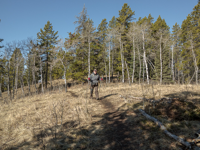
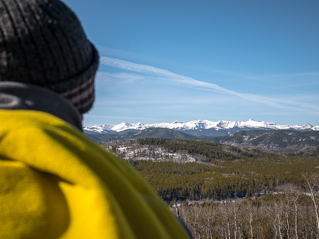
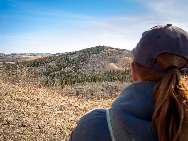
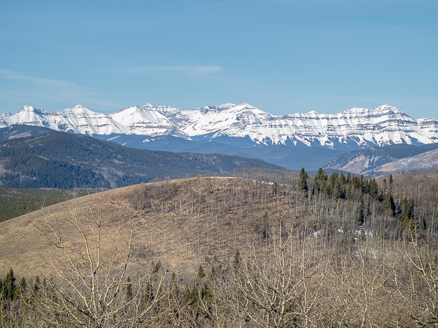
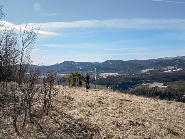
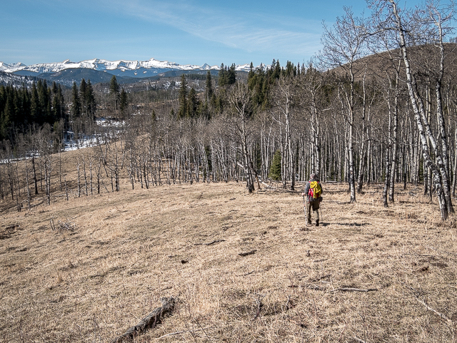
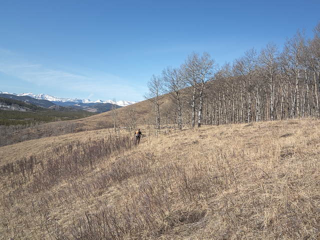
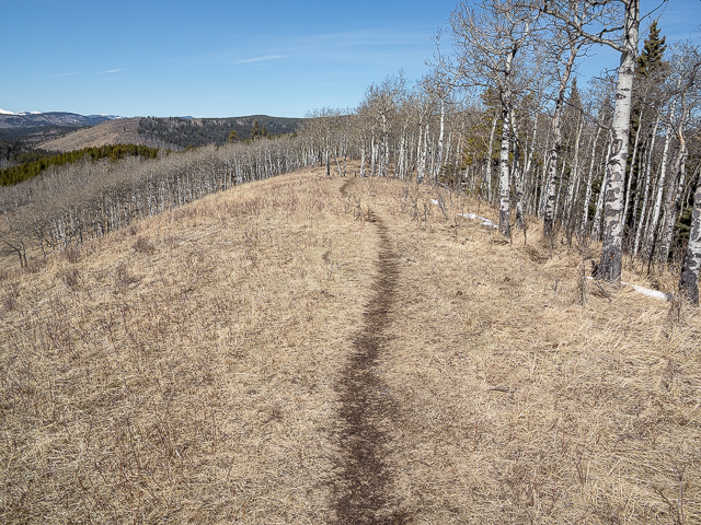
In almost no time come to the summit of the west High Noon Hill, a mostly grassy affair with a few Aspens on its east flank. Look west and take in countless rolling ridges of green and further back distant mountains (still in winter’s grip on our visit). This is the Foothills of Kananaskis. Spin around and take in the East High Noon Hill. It’s a tad more forested, but is still open to the west. Below is the Long Prairie Creek Valley.
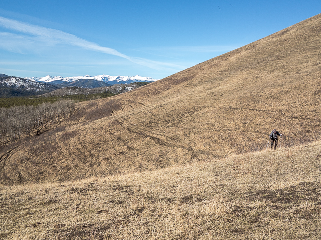
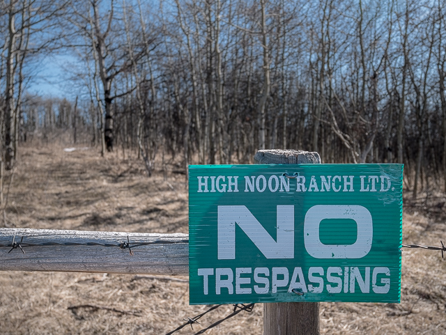
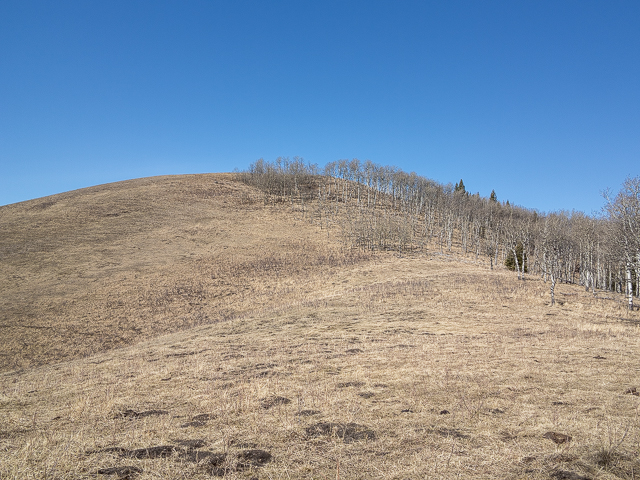
Drop down on steep slopes and on intercepting some cow trails, turn left. You’re now down between the two high points. Soon in a side trail to the right leads to a sorta viewpoint. At the base of hill two, go off trail now, taking what ever line suites you. It’s a mix of meadow and aspen woods, the grade never more than moderate. Come to a fence at the Kananaskis Boundary. The true summit, a few metres higher than the present position, is over there by some trees, but it’s on “High Noon Ranch” property. And now you know where the name comes from.
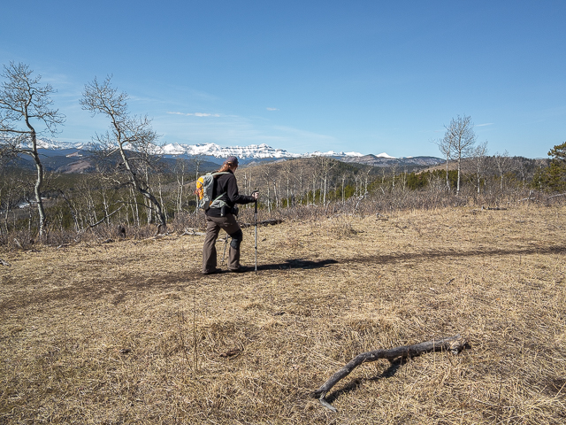
A noisy group of hikers collects on the west hill. We see them, and hear them as clear as though they were standing beside us, but I don’t think they’re aware of us. They soon turn around and are gone…I guess they only wanted to take in one of the High Noon Hills. Soak up the scenery and enjoy some fresh air. Lost in that sea of green, it’s places we’ve been. Over there it’s Sandy McNabb Hills, in back Green Mountain, behind that it’s Mount Hoffmann and to the right, it’s Windy Point Ridge, a small hill with dramatic cliffs, with Foran Grade in front.
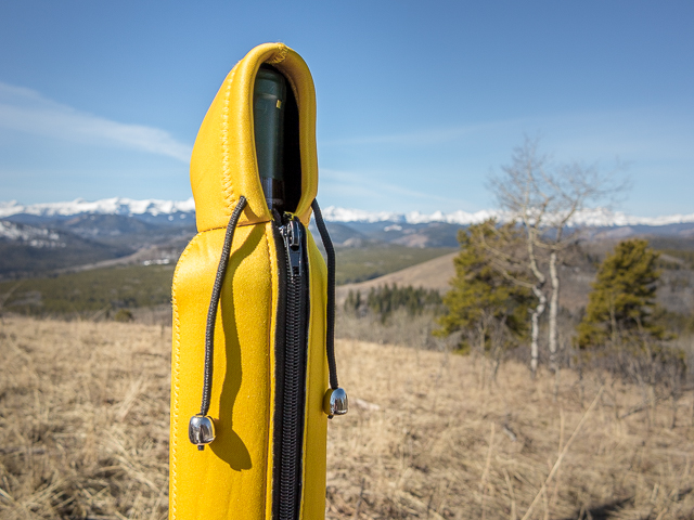
A fallen tree becomes a makeshift bench on which to enjoy lunch, with nature a backdrop. We always bring something yummy to eat and a choice (budget friendly) wine. Why the heck not! Good food, good company in a scenic setting out in the wilderness and we never want to leave.
Back to hiking, head down and retrace your steps. We altered our route a bit on climbing the west hill and did it at an angle instead of tackling head on. It’s a little easier on the legs. On topping out it’s an easy jaunt back to your car. Take one last look around though before plunging into the trees. For such lowly hills there’s sure a lot to see from “way up here”.
Google Earth seems to have changed something recently. Satellite images formerly had a much more pronounced 3-D thing going on than they do now and as such route maps now have a general flatness to them when compared to before. They don’t translate the elevation changes as good as they used to. Or maybe it’s just us.
More from the area…
Mt Hoffmann.
Foran Grade to Windy Point Ridge.
Sandy McNabb Hills – the next group of bumps west.
If you wish more information about this route, by all means contact us!
Date of adventure: March, 2019.
Location: Sheep River Area, Kananaskis.
Distance: 6km there and back
Height gain maximum: 100m-ish.
Height gain cumulative: 260m-ish.
NOTE: all distances and heights are approximate.
Technical bits: yeah, right.
Reference: Kananaskis Trail Guides by Gillean Daffern.
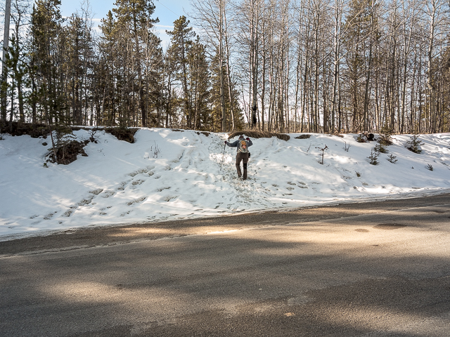
On the High Noon Hills Trail.
Views from a meadow.
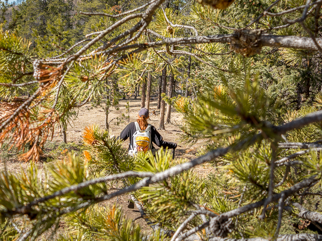
Connie, in good spirits, follows.
It’s easy going here.
Looking west.
The east hill and next objective.
Down between the bumps.
Leaving the cow paths behind.
The west hill we just visited.
At the K-Country Boundary fence.
Named after…
Wine cozy in approved colours.
Dropping down.
In the distance it’s still winter.
The trail takes in a mix of woods and meadow.
We’ll head up here.
We do an angled approach in the trees.
Back on the “trail”.
A great day for a hike.
A week prior there was a lot of this stuff here.
Mere moments from the end.
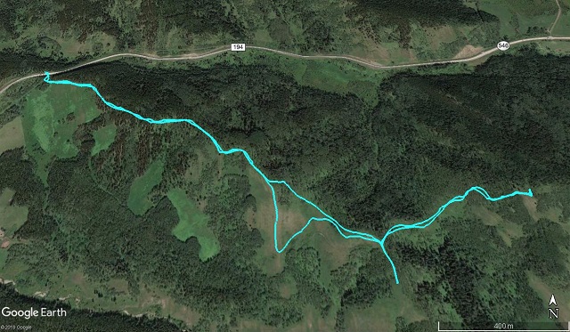
6km and two hills visited.


A truly classic hike in the Sheep Valley.
A great one for conditioning the legs too.
More hiking to come!
Roger that…more fun in the hills.
(Ed: since this one we’ve done more hikes, and Connie’s getting stronger every day)