
Ford Knoll Loop
Sometimes a hike short and sweet is just what the doctor ordered. If the need to take it easy is in the cards for you, as it was for us, try little Ford Knoll in the Elbow River region of Kananaskis. It’s a minor bump in an area more known for its towering peaks, a nice short loop route that’s most enjoyable. As an official trail it’s signed, marked and easily graded, taking one up to a fine viewpoint. There’s nothing epic here, nor terribly Instagram worthy, and you’ll be done it in almost no time, but by no means does that make it bad. We enjoyed our visit and we’re confident you will too. File it under “hikes: laid back and care free”.
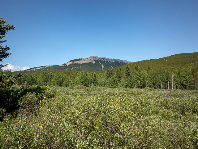
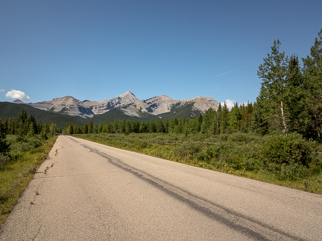
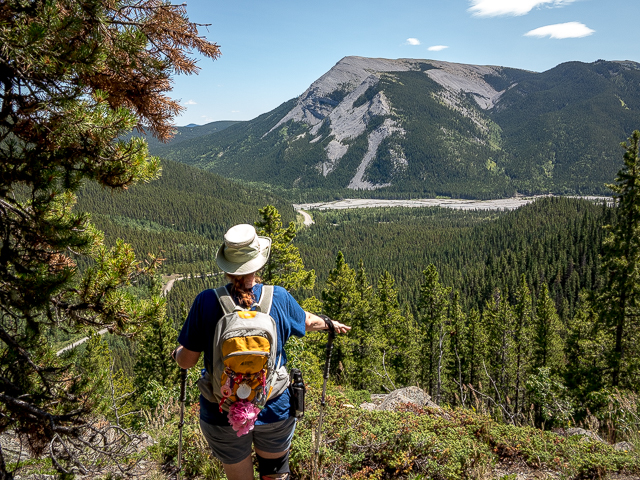
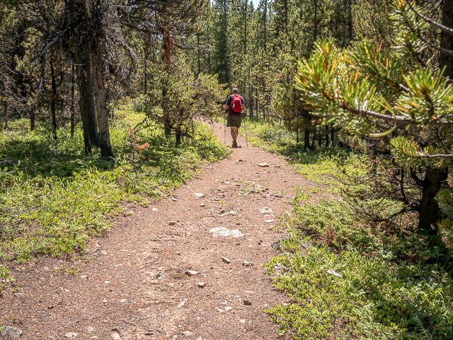
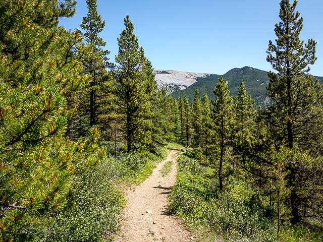
Park at Forgetmenot Pond in the Elbow River Campground at the very end of Highway #66. The trail starts on the north side not far away from and opposite the biffies. Look over there to the west at Nihahi Ridge a long undulating wall of rock. In the east it’s Powderface Ridge, less rugged and almost pastoral looking in comparison. And ahead to the north, barely registering as a hill, it’s Ford Knoll, unimpressive from this angle and completely wooded. Those trees will be your constant companion, but at the top, they do thin for a bit, so there will be some views. Just not much on the way up!
Soon in, cross the campground access road. Remember how your Mom told you to look both ways for traffic when crossing a street? Now’s the time to heed that advice. We don’t want you getting mowed down by a passing RV anymore than her. Then it’s through a fence and come to a junction. This is where the loop portion of the route begins. We did it counter-clockwise, but you can do it opposite if you wish. It’s no biggie how you approach it as the prize in only at the top and it matters not how you get to it.
To the west, it’s some big boys, tall precipitous limestone peaks, wind blown and barren of any trees up high. There’s Mount Glasgow, Cornwall and Outlaw Peak. These can be scrambled, but given our current state it won’t be us doing it. Things have conspired to make us less strong and resilient than in years past.
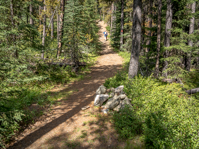
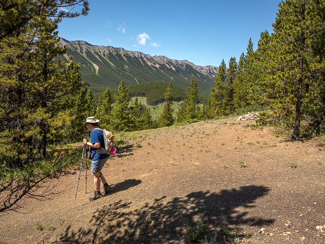
Heading east and at a second junction turn left – the Powderface Ridge Trail continues straight. Start climbing, but gently so. Pass giant cairn after giant cairn. These would traditionally be used as trail makers when the route is faint or confusing, or to mark an important junction. But…this trail is signed and the path well beaten down and unmistakable, and oh, those orange diamonds guiding the way, negating the need for any kind of additional help.
Looks for Paintbrush and bright yellow Stonecrop in the forest under story. We saw a lot of mushrooms too, of all kinds, especially of the coral type. It had been a wet summer which always brings them out in proliferation. In a field of clover we find three with four leaves and one with seven, all within a short distance of each other. We just looked down and there they were. Luck’s coming our way, I can feel it. Now it’s off to the Grey Eagle!
And now we’re short a car payment.
At a four way, continue straight and up and in a few moments arrive at the summit. But it’s treed?! You lied! No worries, good vantage points can be had if you head north or south a bit. Below there’s Powderface Road. Directly across is Powderface Ridge and a bit to the south Forgetmenot (or Forget-me-not) Ridge. In other directions trees block you from seeing anything. We sit on the summit of Ford Knoll, kicking back with some wine and toast the day. We woke up alive and that ain’t a bad thing. And here’s to Connie’s continued recovery. Cheers, to the world and all the wonders it has to offer.
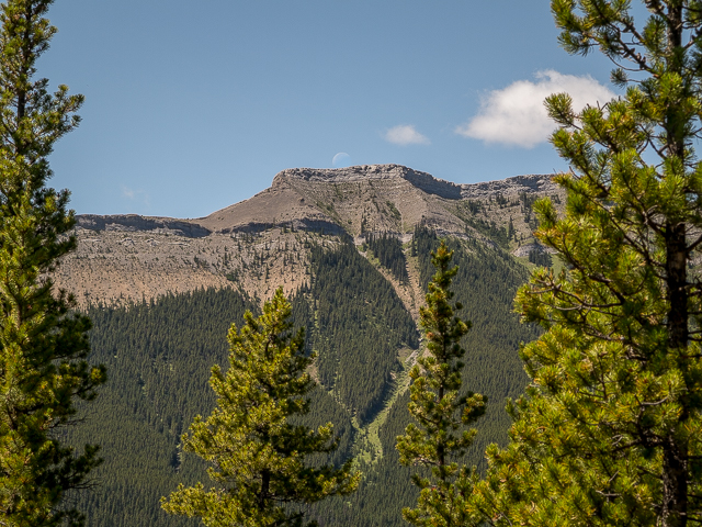
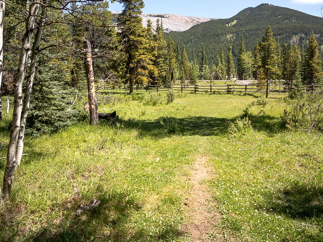
Drop down on a side trail below the summit and when back at the four way continue west. Right away the descent starts, but much like the up leg, the going is rarely steep nor challenging. At a junction going right puts you on the Ford Creek Trail. The west side of Ford Knoll has a meadows and hence better views than the east…which had none. Most prominent over there, and a popular scramble, take in Nihahi Ridge. One day we hope to do it…when Connie’s back to full strength. Come to another junction. Going right takes you to the campground below.
In a couple places there’s loose rock underfoot, with ankle-twisting potential, so be careful. Come to a stream and hop across. More junctions…keep left at both. Arrive at a fence, turn left and soon in, after crossing another stream at a boggy area, come to the final junction, first seen early in this hike. Go right to the parking lot. We did an Abby Road inspired shot at the campground access road crosswalk. Silly us.
Now wasn’t that fun? Viola, another trail, another day. And there’s more to come. This one’s best for the lazy days or even if you’re recuperating and need something not all that difficult. Yet it’s still interesting.
More easy like this…
High Noon Hills.
Death’s Head.
Deer Ridge.
If you wish more information about this route, by all means contact us!
Date of adventure: July, 2019.
Location: Kananaskis, Powderface Area.
Distance: 6km loop (some reports list it as 4km).
Height gain maximum: 250m.
Height gain cumulative: 260m.
NOTE: all distances and heights are approximate.
Technical stuff: tripping could have you spilling your coffee.
Reference: Kananaskis Trail Guides by Gillean Daffern.
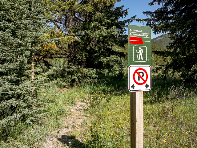
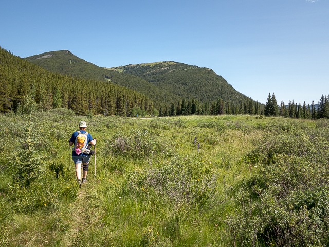
Starting off on the Ford Knoll Trail.
In back, Nihahi Ridge.
The lowly summit of little Ford Knoll is somewhere back there.
Powderface Ridge dominates the view.
Mount Glasgow, centre, and friends.

It’s an official trail with signs.
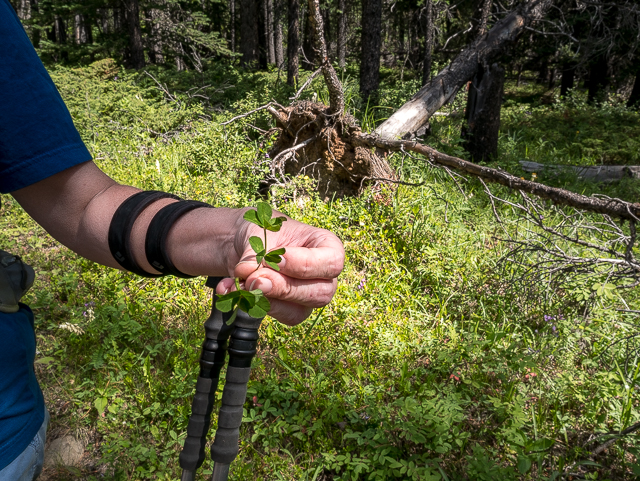
Multiple four leaf clovers, and one with seven.
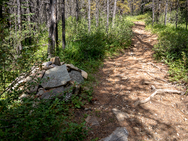
One of many big cairns along the trail.
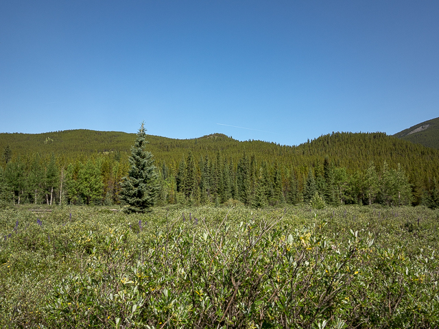
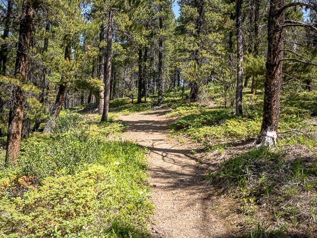
The trail is rarely out of the woods.
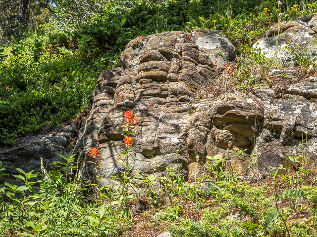
An interesting rock outcropping.
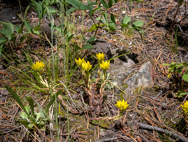
Stonecrop.
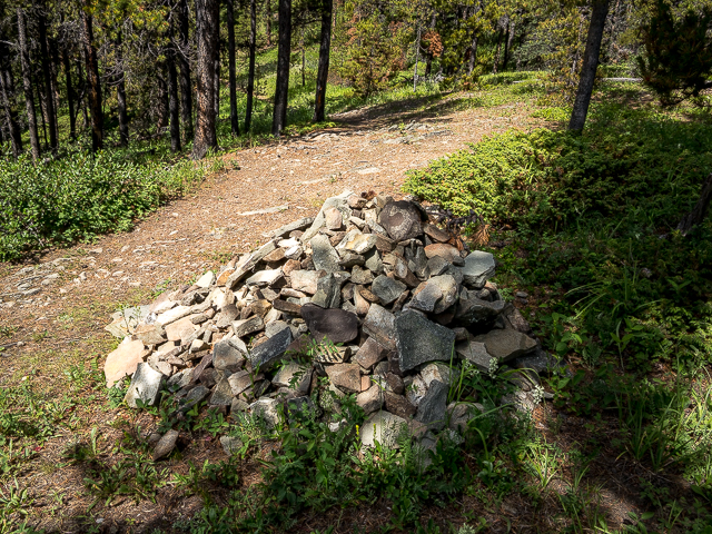
Not sure ones this big are needed.
Almost at the summit.
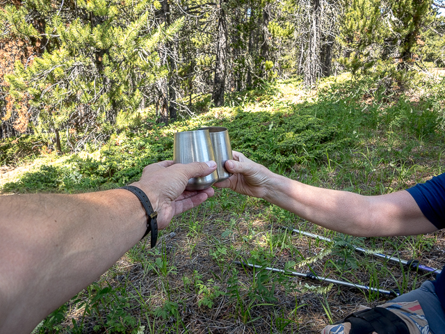
So many things to toast.
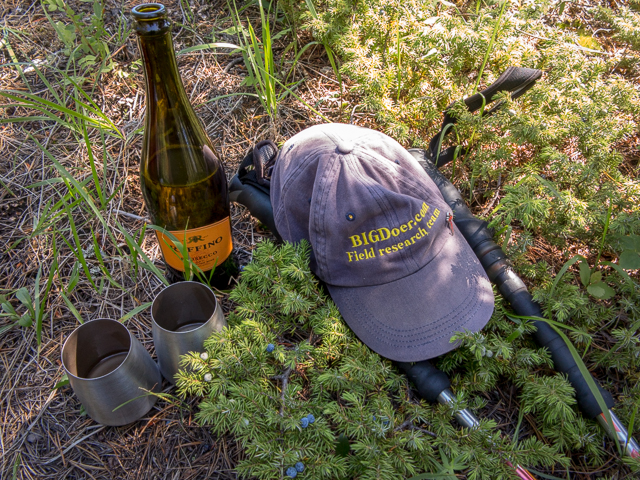
Trail essentials – little blue things are Juniper Berries.
Kicking back, it’s this view.
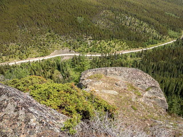
Powderface Road below.
To the south, Forgetmenot Ridge.
Nihahi Ridge is a popular scramble.
The down leg.
A break in the trees affords us this view.
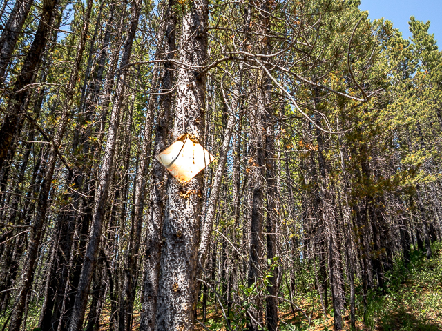
Faded old trail markers.
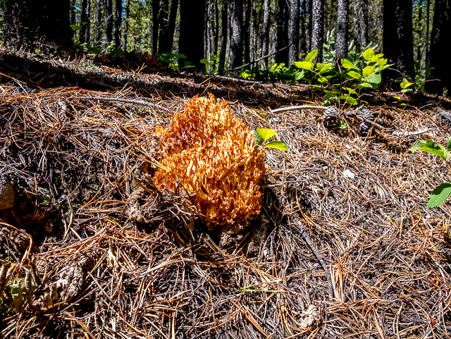
Lots of these Coral Mushrooms about.
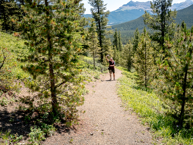
Hat’s off to a great day.
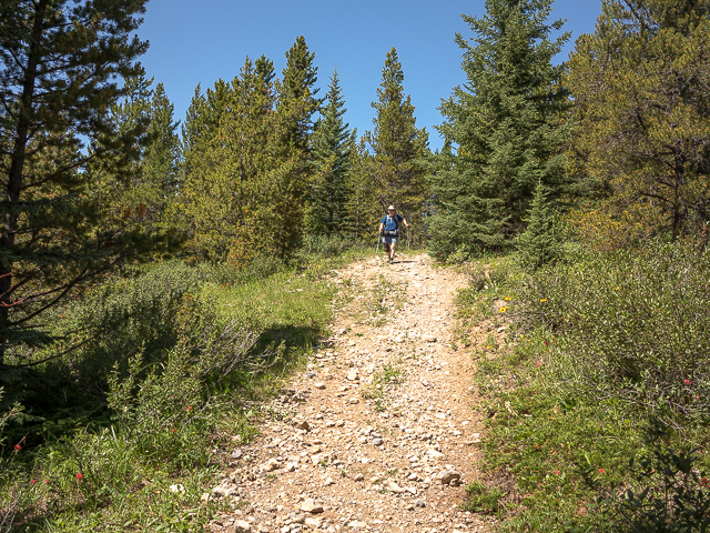
Dropping down at a steady pace.
Easy and pleasant the whole way.
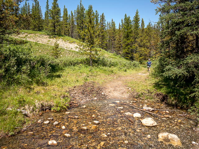
A little stream is crossed.
Almost done.
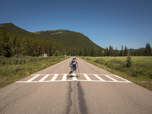
The Abbey Road shot.
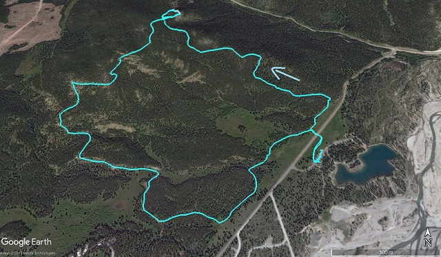
Today’s route.


")


Awesome….looks like not that easy….you go girl!
Connie sends her thanks. She’s MMA tough.
Each day getting stronger.
Keep fighting Connie. Right there beside you.
Beautiful!
We’ve got the world’s best playgroud…as we say way too often.
Thanks for the perk. Just came in from shoveling….again
I know. Just did the same here, for the second time today. Already tired of winter.