Jura Creek Revisit
This is our second time hiking up Jura Creek in Kananaskis. On the first, long ago, we did the slot canyon approach, hands down the primo option in terms of fun but not always the best choice in certain conditions. This day, due to high water and the resultant slippery footings we used the alternative bypass route in order to avoid any trouble. No matter the way it’s a great little hike that’s relativity easy with plenty of mountain scenery. And near the place where most people call it a day and turn back, there’s something extra special and unique…if you’re into rocks that is. Curious?
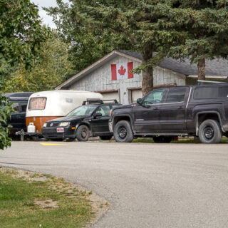
It’s less than hour from Calgary. Go down the# 1A a little west of the Seebe turn off and park in the lot opposite a big (noisy) cement plant. You can’t miss it. In times past, we used to start under the power lines a bit further east, but this new start is so much more convenient. Find any trail trending northwest-ish that heads towards a gap between two mountains (left Exshaw Mountain & Ridge, right Door Jamb/Loder Peak). Soon in, drop down onto expansive gravel flats. Looking back, most prominent are (l to r) McConnell Point, Heart Mountain and Mount McGillivray. They’re spectacular.
Straight ahead the walls close in and soon you’re in the slot canyon. In times of low water it’s a piece of cake to explore, with a few hand’s on sections. Going further in, however, we found the levels a bit too high for our liking. It was not getting wet that was the issue, but rather how slippery everything was. Limestone is often already smooth as a baby’s bottom and being wet does not help things. With Connie still recovering (at the time – we’re so far behind) from her life changing C-word surgery, at a recent rock fall, we decided the up and over bypass was a better choice. We’ve always known of it, but till this outing had yet to take it it in.
Go back to where the canyon opens up and find the obvious trail on the west side. Head up steep-ishly for a time on a braided trail and then level out. Along here the forest floor is all moss and mushrooms. Just as things are going nice, there’s an abrupt drop back down to Jura Creek. Above the slot canyon, its personality is more relaxed and easy going. Often it’s dry here with the water flowing underground in the porous rock much of the time. The grade is negligible.
Above you can see some distinct outcroppings of a different colour than the surrounding rock. You’re about to enter an area where three formations (each of different composition) converge. That’s just around the corner. The trail – the creek bed usually or side trails in the woods if water is flowing – wanders this way and that. It’s steep walled cliffs above and once in a while one can see a large boulder that’s clearly tumbled down from up there.
As the valley narrows, there it is. For geology nerds, this is some kind of Nirvana, unusual in that it’s the meeting point for not two but three distinct bodies of rock. There’s the Palliser Formation made up of grey limestone. The loose shale material, in that black belt, is from the Exshaw Formation. Finally, the brown-ish/yellow-ish stuff (siltstone mostly) is from the Banff Formation. And here they all meet. Often they’re flatly layered but here folding has them bumping into each other and that makes them interesting. In age, all are several hundred million years old and date from the “Devonian” period.
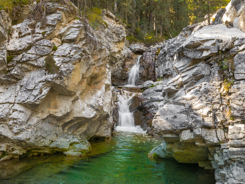
Most people end it here but for an enjoyable time, scramble up the slab on your right. There’s plenty of ledges and handholds to make it easy, unless the creek is flowing (the slab is the creek bed), in which case it could be slippery. Little pools of water, a deep green, sparkle in the sun. A poorly placed step and now I’ve got a wet foot.
Intercept a trail (left) and top out into another much broader valley. But it’s much more rugged (so many big rocks) and less inviting, making this a good turn around point. To the right Old Goat Mountain is seen.
On the way down, peer down into the slot canyon. It’s so narrow that one could easily step across it in places, not that you should. It’s quite deep too, with many shimmering pools of water seen below. The creek was not flowing this day. Many in the area are underground most of the season, except in places where the bedrock is close to the surface or in times of heavy rain or spring runoff.
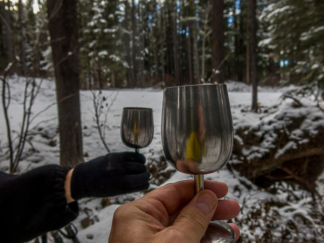
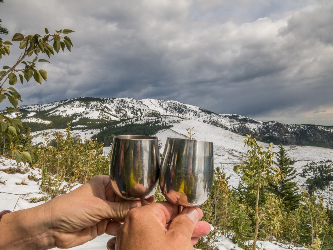
The meeting of the formations makes a nice lunch spot. Wine, meat, cheese, a toast to life, fine scenery, good company and all is right in the world. For a time anyway. We notice lots of nodules scattered about the area which we think are from the Exshaw Formation spoken of earlier. Some are huge! We understand fossils can sometime be spotted here too. We looked and looked and came up empty. Our antics got us some curious looks from a passing group of hikers.
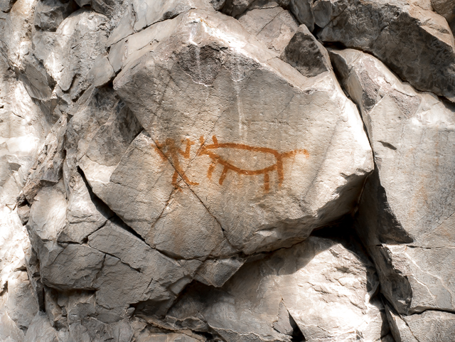
Return the way you came. A trip to the Jura Creek Cave viewpoint (just above the slot canyon) is a nice diversion, if you’re taking the bypass route. It’s a curious hole in the rock that really stands out. Go down stream a short distance from the bypass trail junction, look up and left-ish, then backtrack when done.
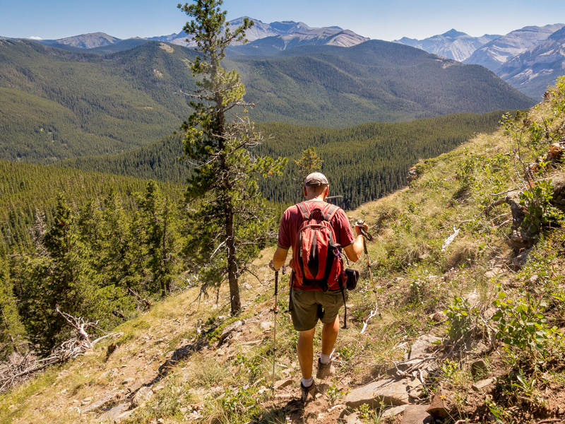
Now it’s up steeply, level off, then down steeply. Soon in you’re back to the gravel flats and not long after your ride. What an enjoyable time. Jura Creek is not a super busy trail and we met perhaps three groups during our outing. We wonder if any were aware of the geological significance of the area? Earth-sciences are not everyone’s cup of tea – but it is for us!
Wikipedia: “A geological formation, or formation, is a body of rock having a consistent set of physical characteristics (lithology) that distinguish it from adjacent bodies of rock, and which occupies a particular position in the layers of rock exposed in a geographical region.” And now you know.
From a University of Victoria field trip paper: “Jura Creek, one of the classic geological field excursions in the Front Ranges, was named in error – from misidentified fossils which were actually Paleozoic, not Jurassic, in age.” And now you know more.
Hoped you enjoyed this little outing. We sure did!
From our first visit long ago…
Jura Creek.
Hikes in the general area…
Three Sisters Pathway Canmore.
McConnell Point.
Grotto Canyon.
If you wish more information about this route, by all means contact us!
Date of adventure: September, 2019.
Location: Bow Valley area Kananaskis, AB.
Distance: 8km.
Height gain maximum: 230m.
Height gain cumulative: 260m.
NOTE: all distances and heights are approximate and may differ slightly from previous outings.
Technical stuff and notes: Watch for geologists on pilgrimages…they’re rabid and bite!
Reference: Kananaskis Trail Guides by Gillean Daffern.
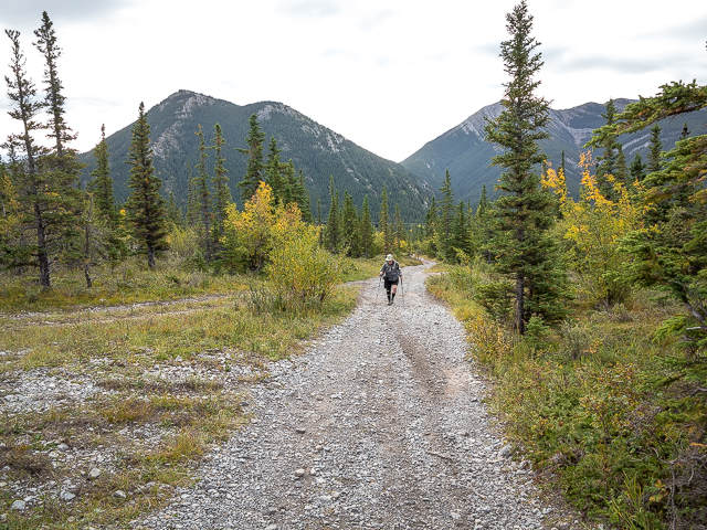
Jura Creek, here we come.
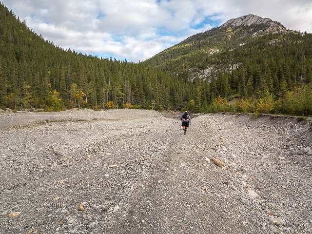
On the gravel flats below the canyon.
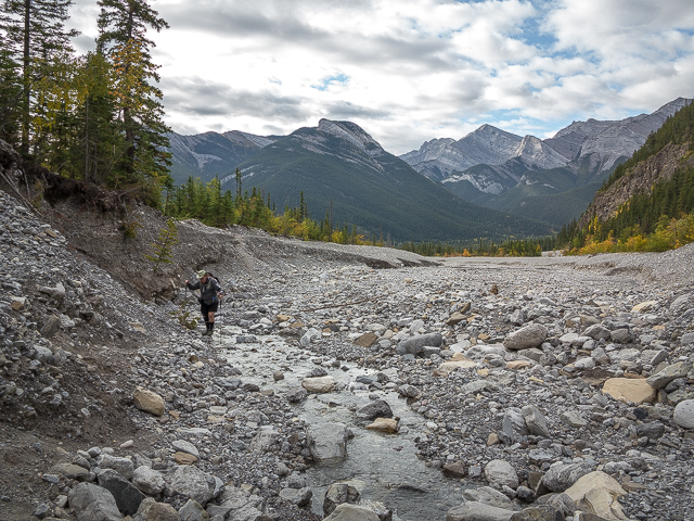
Scenery can’t be beat.
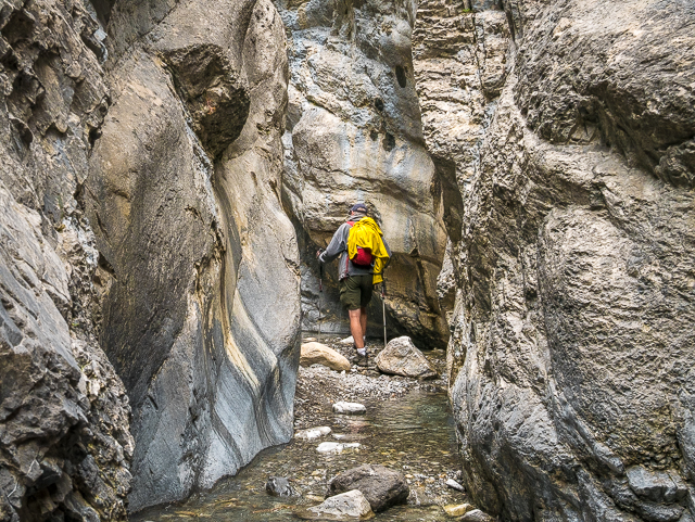
Into the slot.
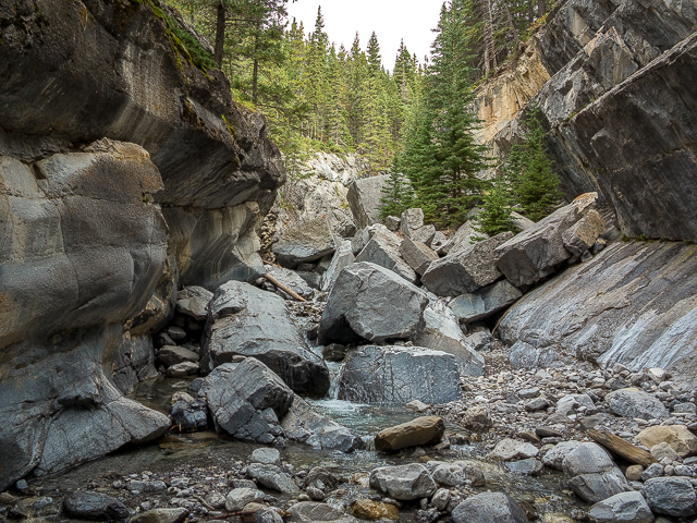
Fresh rockfall where we turn back.
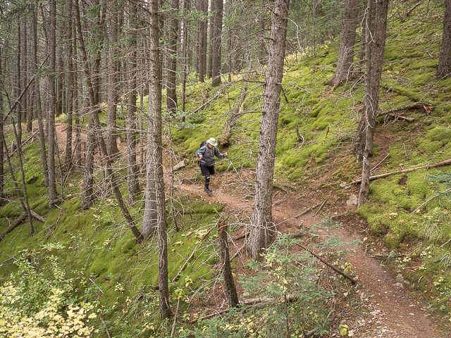
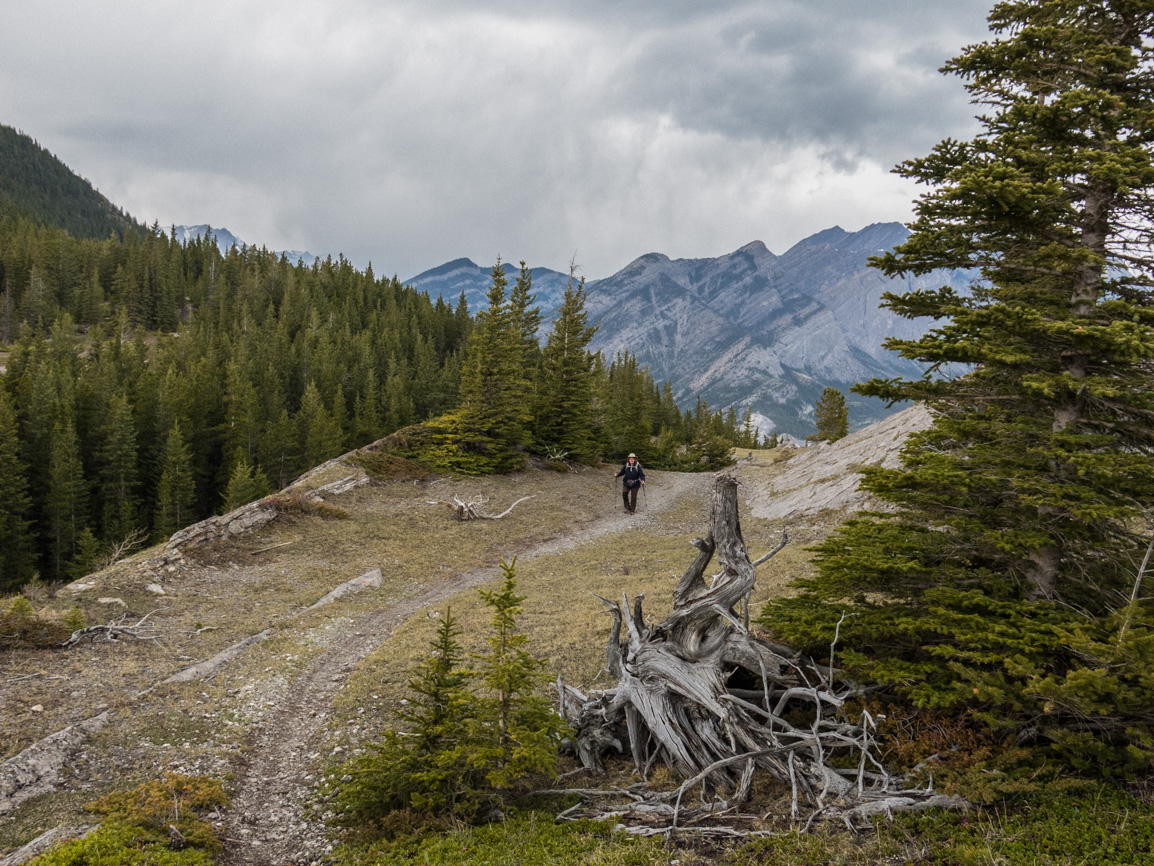
On the bypass trail.
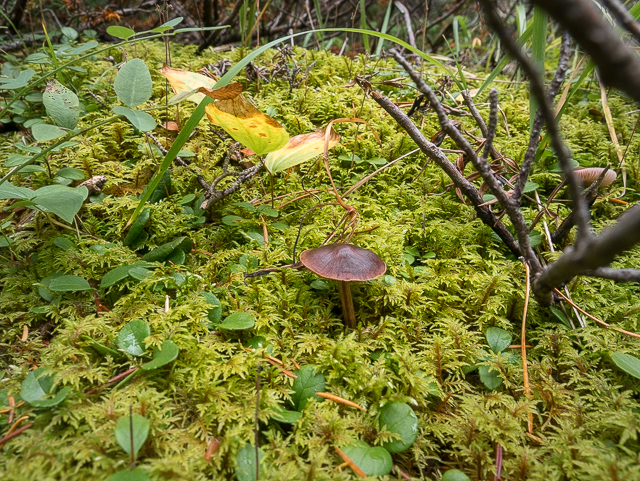
The forest floor.
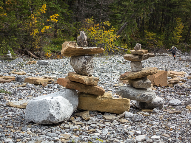
Upstream the creek is mostly dry.
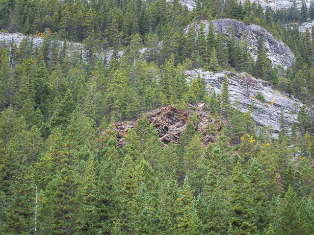
Different colours mark two formations.
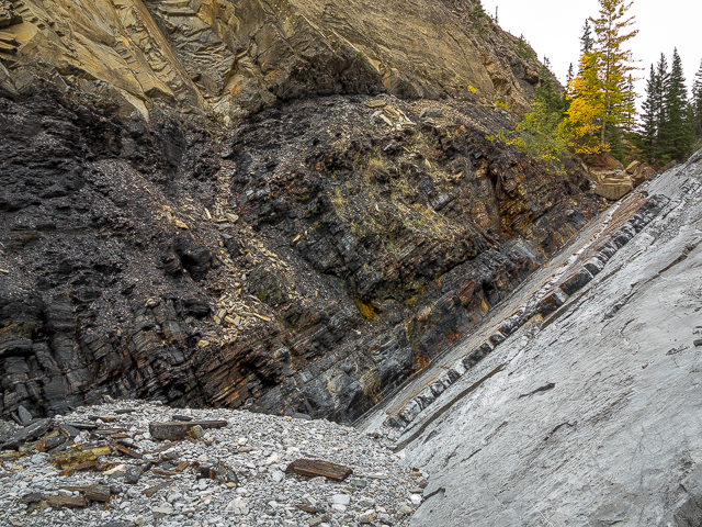
A geologically interesting spot.
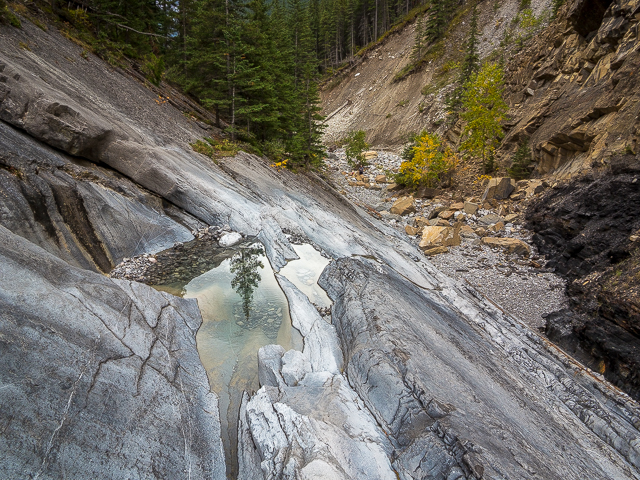
Up the slab we go.
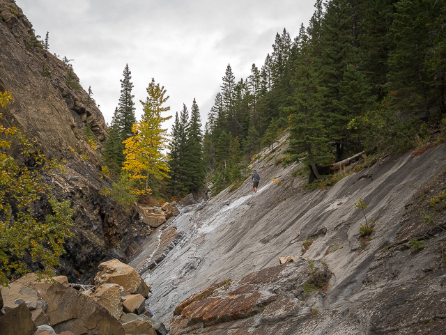
Heading up to check out the upper valley(s).
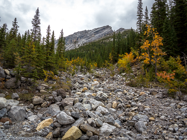
A rock-fest this way.
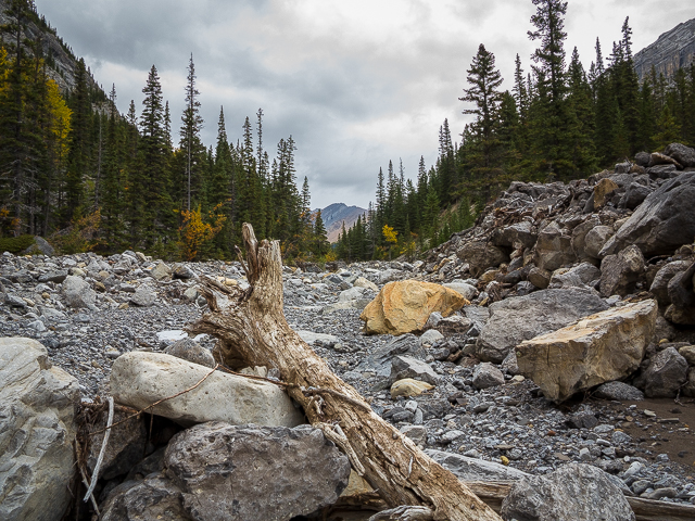
You could continue up the main valley. But…
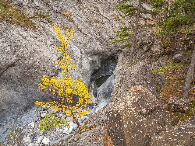
The creek has cut a narrow slit in the rock below.
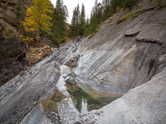
Little green pools.
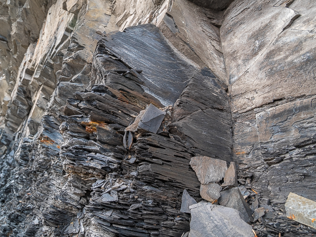
Shale below, limestone above.
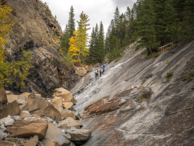
We have company.
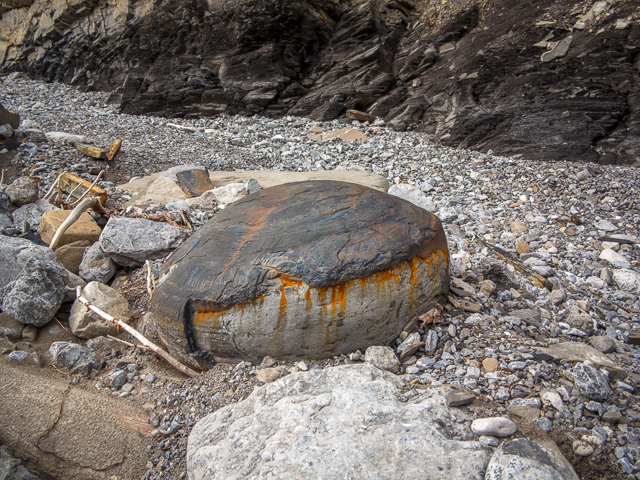
There’s these nodules scattered about.
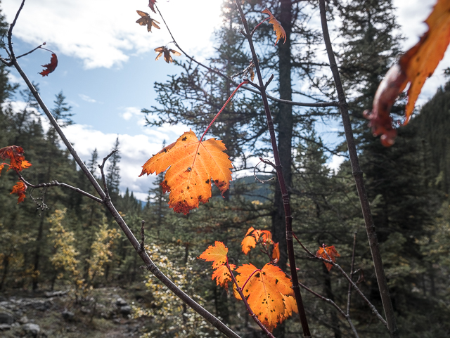
A splash of colour.
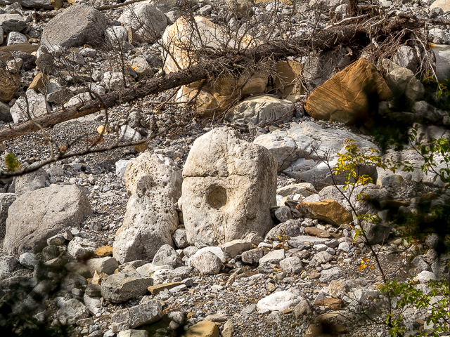
A hole dead centre.
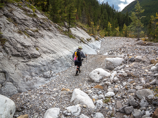
Easy going here.
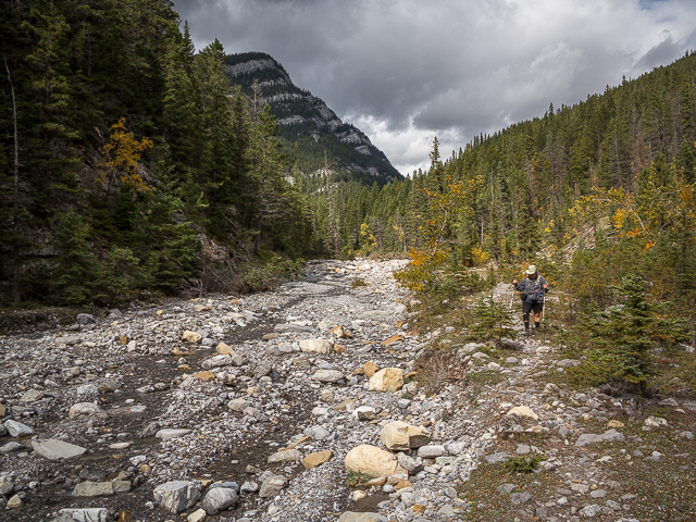
Left, it’s Exshaw Ridge.
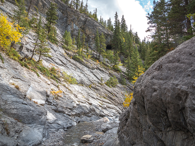
The cave above the slot canyon.
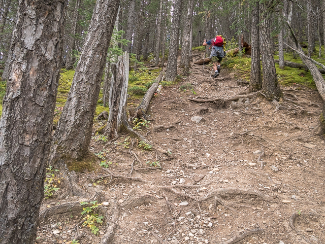
Heading up steeply.
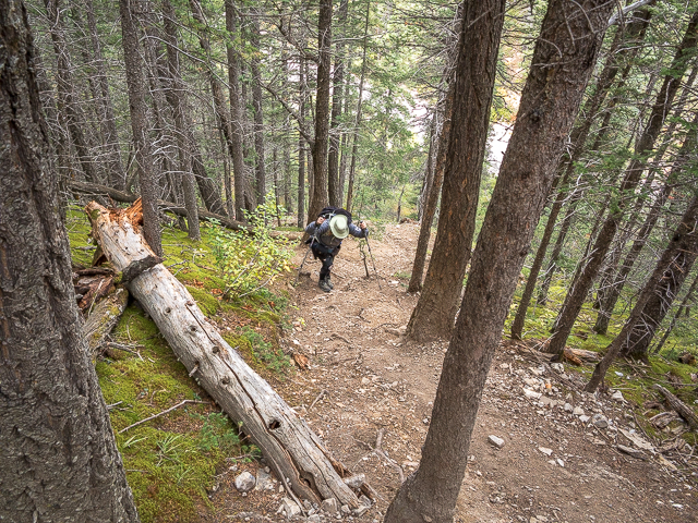
Connie soon follows.
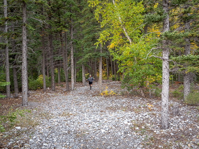
About to call it a (GREAT) day.
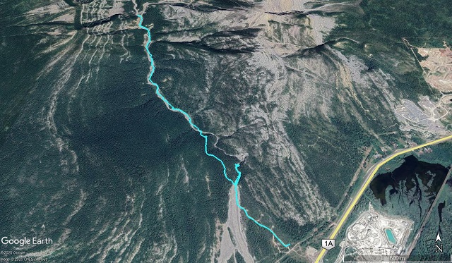
8km of fun!



Too bad we couldn’t do the canyon approach. Next time.
Yes, for sure, next time.
David and I are VERY into rocks! This looks so interesting.
So there’s another! And here we thought us the only ones. Thanks for commenting.
Looking forward to the book.
We’ll keep everyone posted! Making a pun of it, in a reference to this here post…it should…wait for it…ROCK!
I love rock formations.
So you’re the other one?
Fascinating!
It’s a great hike and so interesting geologically.
This rocks!
I knew it was coming.
The rock formations make this a very interesting spot.
We found it fascinating too. We chatted with other hikers on this trail and none really knew the significance of the area though. I guess not many folks are into rocks (but we are).