Sulphur Springs-Elbow Valley Loop
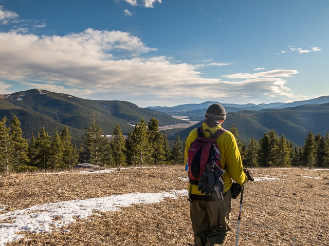
A popular loop hike in the Elbow River area of Kananaskis, join up with us and take in the combined Sulphur Springs-Elbow Valley trails. Accessible any time of the year it’s a good choice come the off season when options can be limited. No matter when, prepare for a little bliss in the Alberta Foothills and with a roller coaster profile your heart will thank you. The Team’s done it many times and no doubt will return. Should we cross paths that day, look for the trademark yellow and say hi.
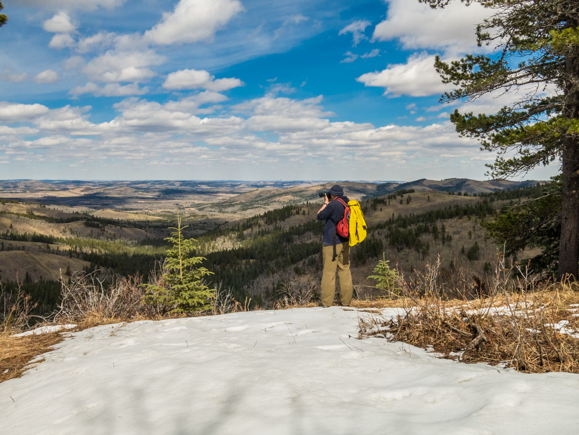
There’s four possible starts to the adventure with us choosing one about middle-point and then proceeding in a counter-clockwise fashion. We’ve tried both ways and tend to prefer this direction for what ever reason. While mostly keeping to the forest, there’s a couple good viewpoints along the way, the best of these happening just past the half way point. That is, of course, if you’re follow in our footsteps. There’s a few other openings in the trees, but none so nice as what awaits you there.
Sulphur Springs-Elbow Valley Loop: a tried and true Kananaskis hike. A Chris & Connie adventure.
While only a couple small groups were seen this outing, footy-prints in the fresh snow told us a lot of people came before. With that said it can be a busy trail depending on when you pay it a visit. We tend to prefer the shoulder season or mid-week when things are a little more quiet. This is also a a mountain biking trail and while equestrian riders are allowed, we’ve never seen any.
Being “official”, the route is well thought out, marked and in addition maps can be found at major junctions. Those tattered signs sure are old. This cared for status also means the trails are maintained with any deadfall, using one example, being removed should it happen.
Begin at Patty’s Flat (a campground) on #66 west of Calgary. Cross the sometimes busy highway (perhaps a scary proposition on a July weekend) and head up into the trees. The path is wide and the way always clear, so keeping on track an easy proposition as long as you’re mindful of the many cross-trails passed along the way. Most are signed in some way.
In no time come to a three way junction and go right on the Elbow Valley Trail. You’ll latter come in from the left later on the return leg. Stroll through the woods, rising and falling with the land (a pattern this day) then drop down steeply (darn slippery on our visit). Soon in come to a footbridge and just beyond, at a junction, take a hard left onto the Sulphur Springs Trail. Straight ahead it’s a continuation of the Elbow Valley Trail heading to Station Flats (another possible start to this loop).
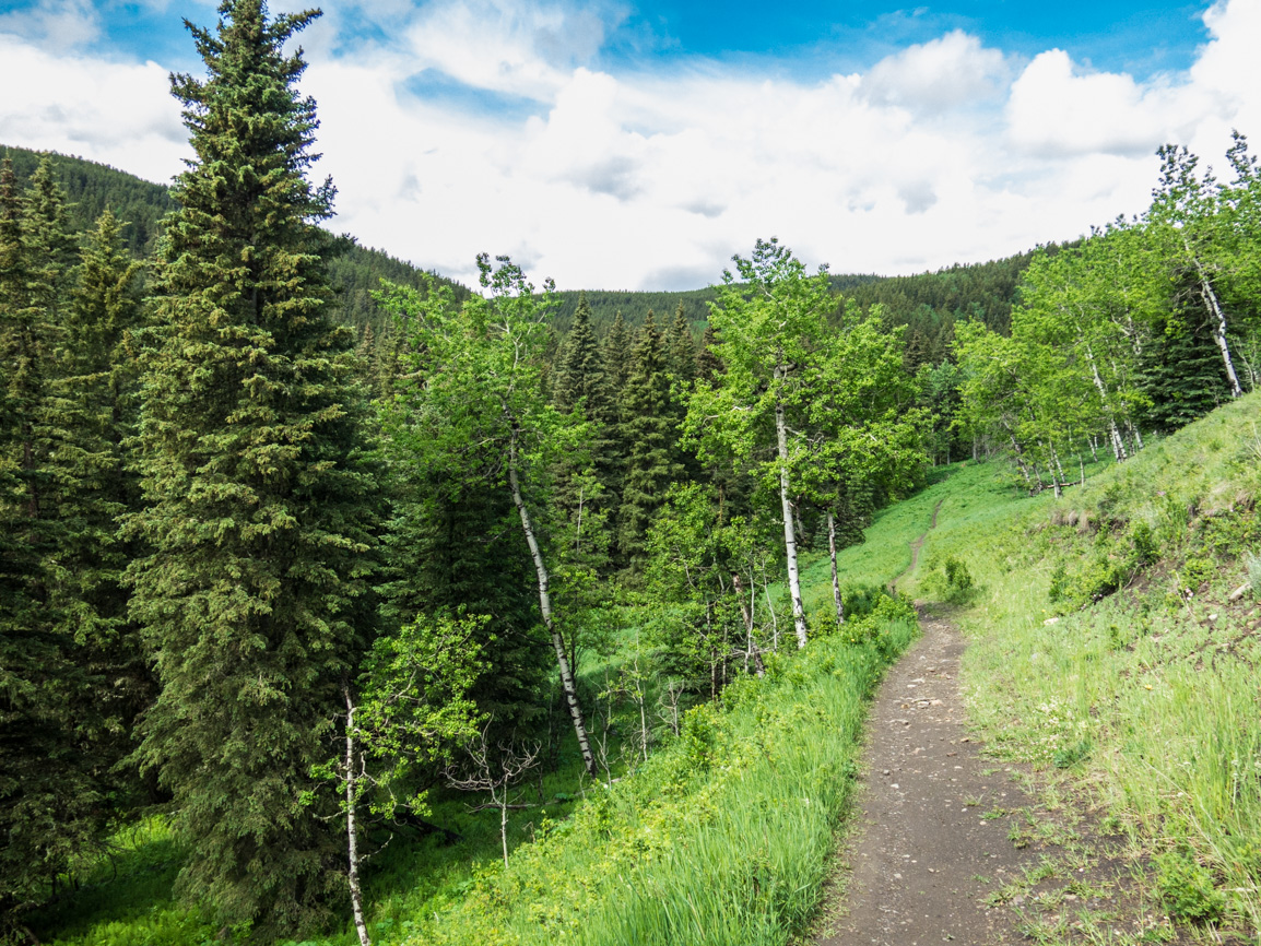
Once in a while the trees open up and a particularly pleasant section along here is where you’ll traverse an open grassy slope. The treed ridge to your left hides the trail you’ll use later.
At a low boggy area further on, look for an old well casing from long ago down by the creek from which flows a spring. There’s a slight Sulphur smell and a kind of oily feel to the water. We’ve heard from fellow hikers that it usually flows freely all year, suggesting it’s coming out at a higher temperature than normal ground water. The Kananaskis gas field has been exploited for a century or more and even today, there’s active wells scattered about the area. And now you know how this section of the trail got its name.
This is an in-the-trees kind of hike for the next while. In areas moist, it’s mostly spruce and fir with moss usually blanketing the ground. On drier slopes it’s pine and underfoot juniper with their little purple berry-like fruit. We throw a few of them in as flavouring for a good roast. Leafy trees are often found at the periphery of grassy areas but mostly these hills are the domain of the conifer.
Climb up at a steady pace now, with no respite, till you top out. For the next leg, you’ll cross paths with some downhill mountain bike trails, so watch for fast descending two-wheelers. A wide swath in the woods marks a pipeline right of way, one of a few openings along this section. In a few minutes cross a road leading up to (this: Moose Mountain. Past the viewpoint parking spot, plunge back into the trees.
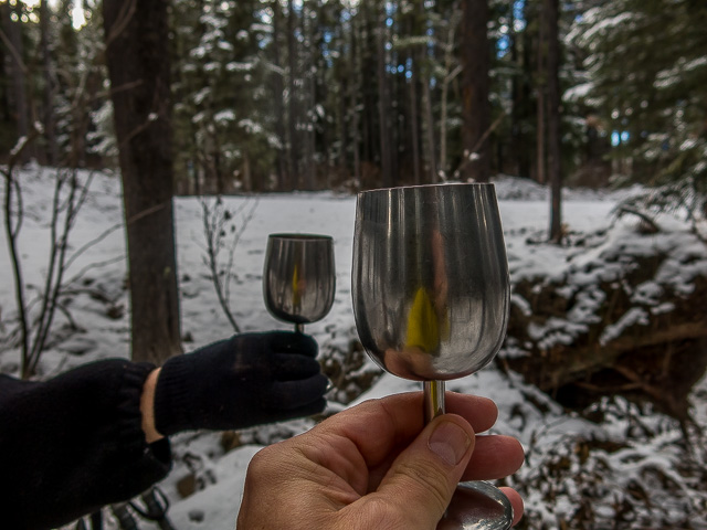
Up some more, come to the high point atop an open slope and here’s the payoff. Look west, look south, look north, there’s good views in each direction. All around there’s rolling hills of green and most prominent in the west take in Prairie Mountain. Ben’s Hill between it and you is marked by a gas road. A fallen tree becomes a picnic bench and soon we partake in a toast or two. To Kananaskis, to Mother Nature, to all things like this that are awesome – CHEERS! Lunch always tastes the best when you’re in the woods.
Back in motion, the descent is about to begin but it’s never too steep. Past a sweeping switchback, take notice of a new trail nearby being built for downhill bikers – that quite the banked corner! Down some more, a zig here and a zag there, meet with the Elbow Valley Trail again at a four-way junction. Then make a left. Right, the Elbow Valley Trail continues on to points west (and is yet another starting point for this loop). South, it’s Riverview Trail heading down to Paddy’s Flat Campground and yet again another possible start to this loop.
Now comes a series of ups and downs, the rolling nature of Kananaskis in this area made quite apparent here. It’s never too much, however and isn’t a good workout part of the reason we do this? Once in a while there’s a meadow but mostly it’s trees and more trees.
One final up, one final down and soon you’ll be back at the first junction passed early on. Turn right, cross the highway, and boom you’re done. The last click or so, for us, is always the hardest part and we never want it to end.
What’s in a word? Sulphur or Sulfur? The former sees more usage in Commonwealth Countries, where as the latter it’s the US or in academia. Like Colour vs Color or Defence vs Defense it’s just some a minor nuances and that makes languages interesting.
Till next time, keep on enjoying the outdoors.
They’re saying…
”…I sure enjoy reading about their travels.” James Churchill.
In the area…
Sugar Daddy/Sugar Momma – A sweet hike.
Mustang Hills – Where the wild one roam.
Forget-me-not Ridge – We’ll always remember.
If you wish more information about this route, by all means contact us!
Date of adventure: October, 2019.
Location: Elbow River Area Kananaskis.
Distance: 10km loop.
Height gain maximum: 240m.
Height gain cumulative: Hundreds more!
NOTE: all distances and heights are approximate and may differ slightly from other trip reports.
Technical stuff and notes:
Reference: Kananaskis Trail Guides by Gillean Daffern.
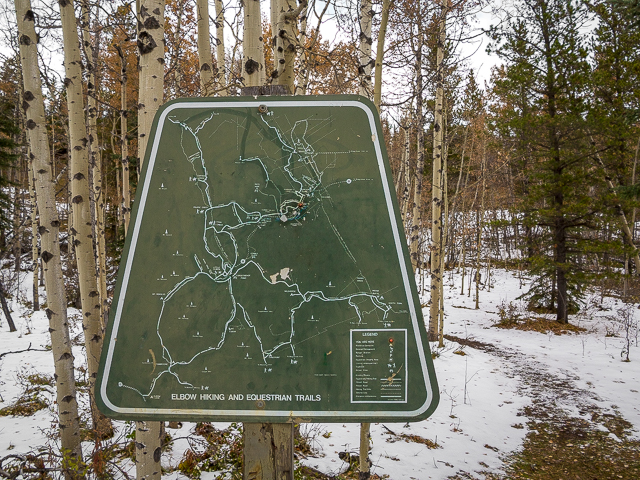
This old map guides the way!
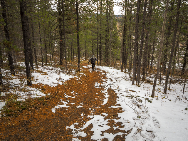
We’ll did it in a counter-clockwise fashion.
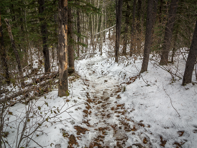
A slippery slope along the Elbow Valley Trail.
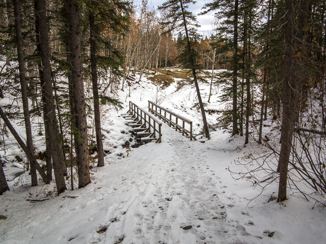
It’ll be a hard left after this bridge.
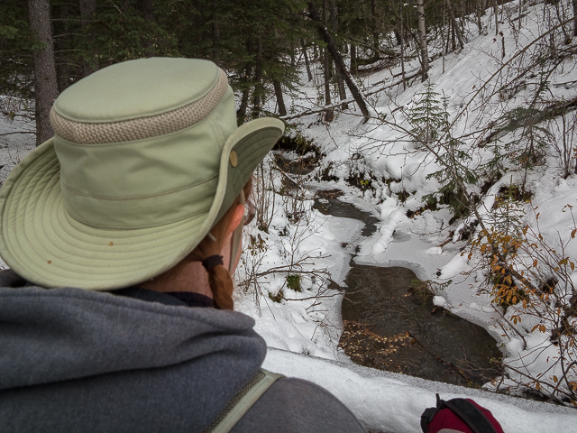
This nice little creek.
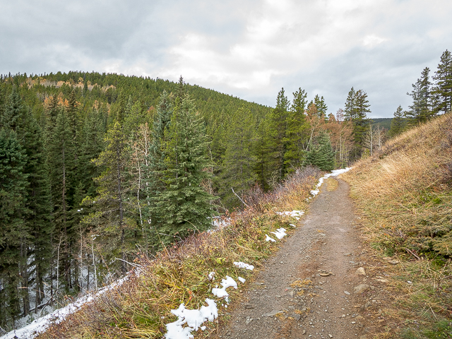
On the Sulphur Springs section.
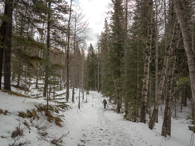
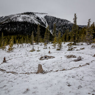
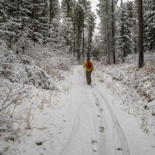
It snowed the night before.
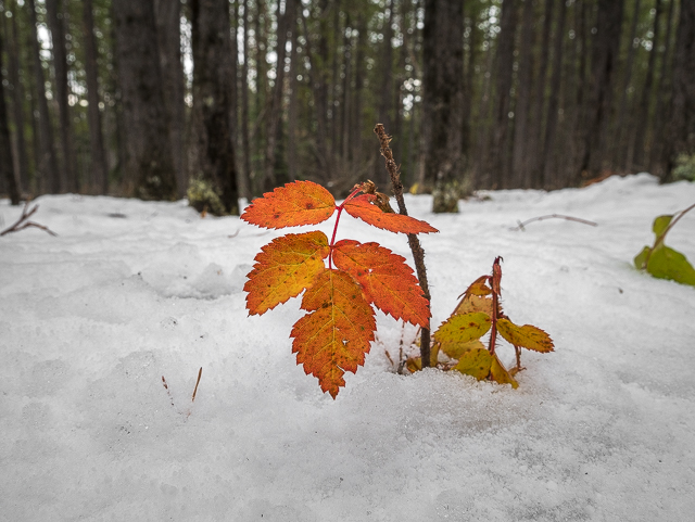
A splash of colour.
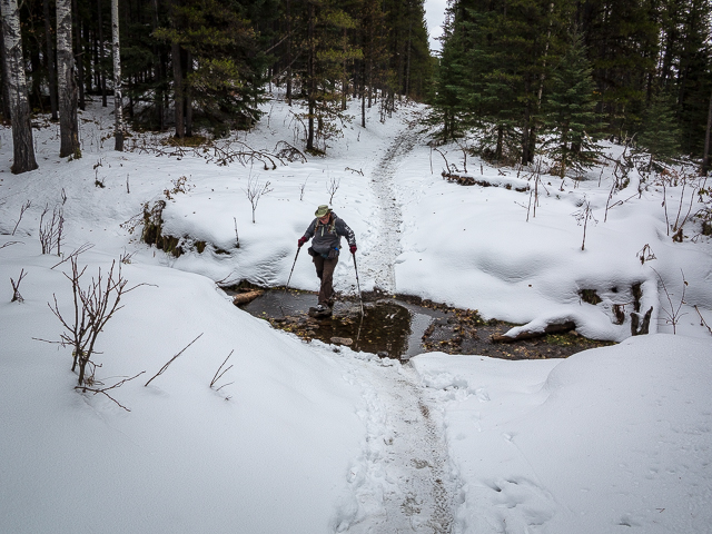
A little rock hopping.
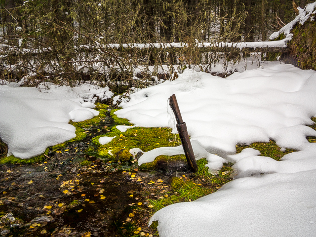
The Sulphur Spring is marked by an old well casing.
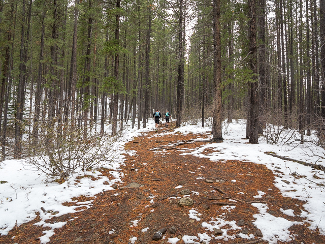
Which way does the trail go? It goes up!
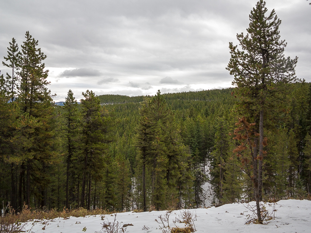
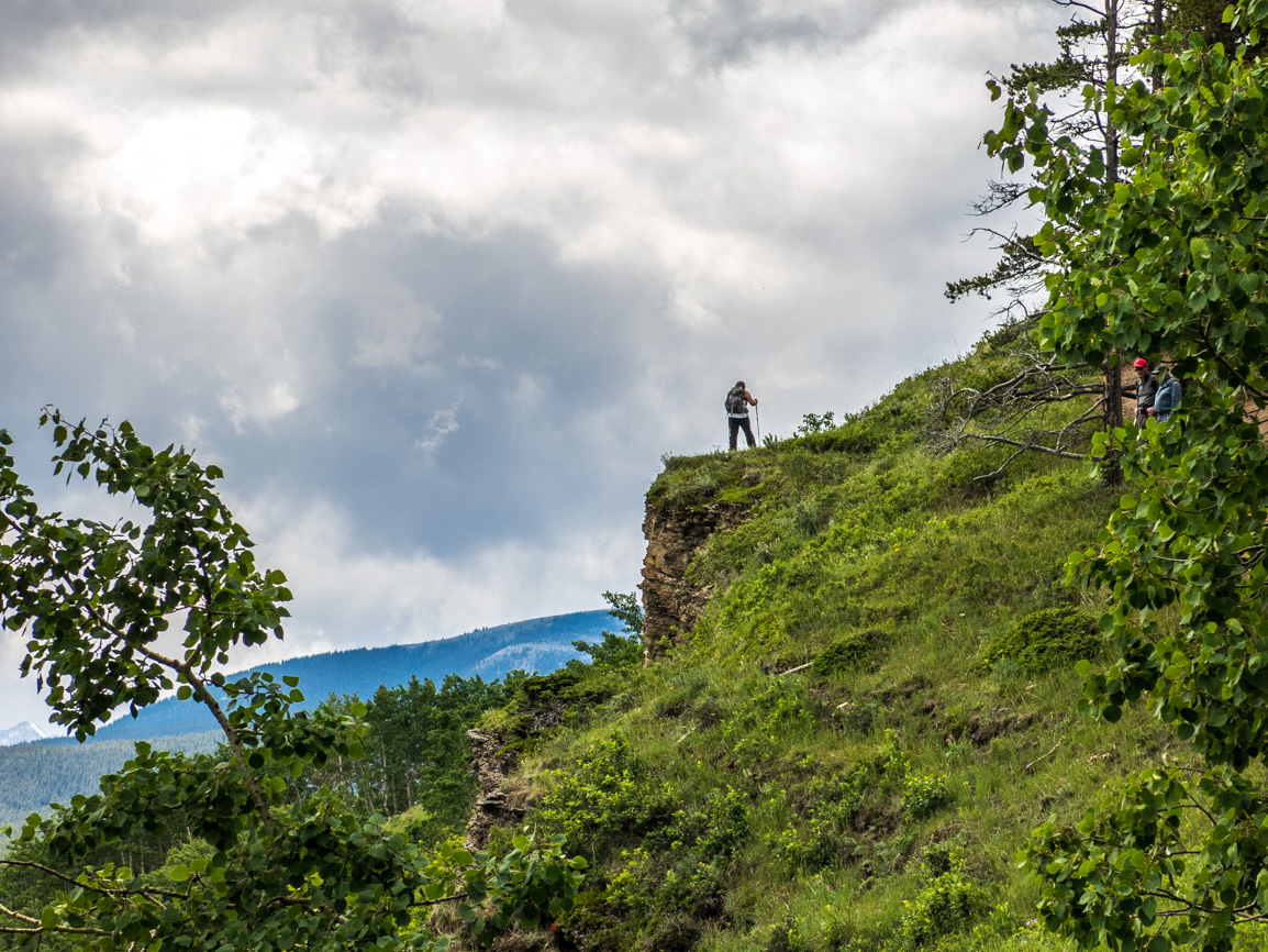
The occasional view can be had.
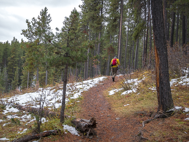
Unseen: our happy smiles.
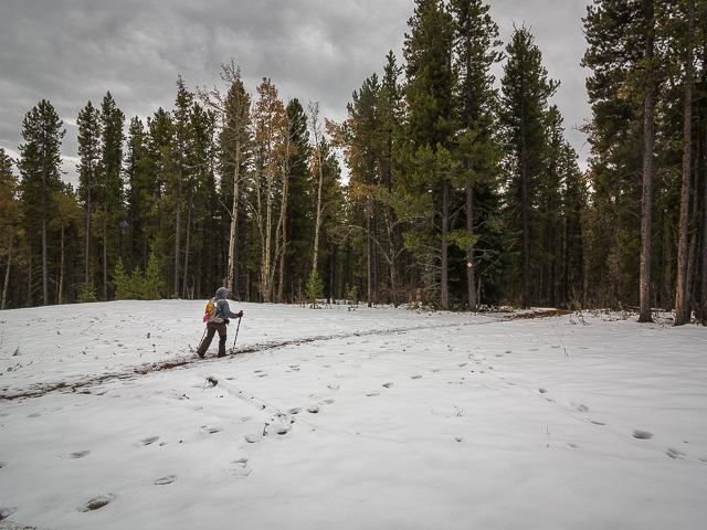
At the pipeline right of way.
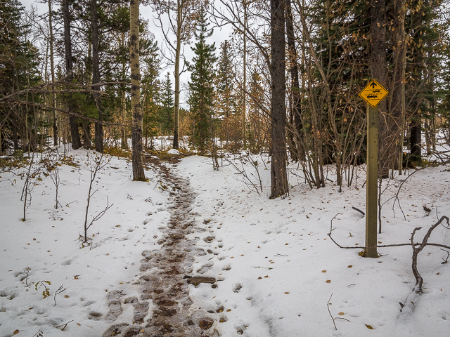
Road crossing ahead.
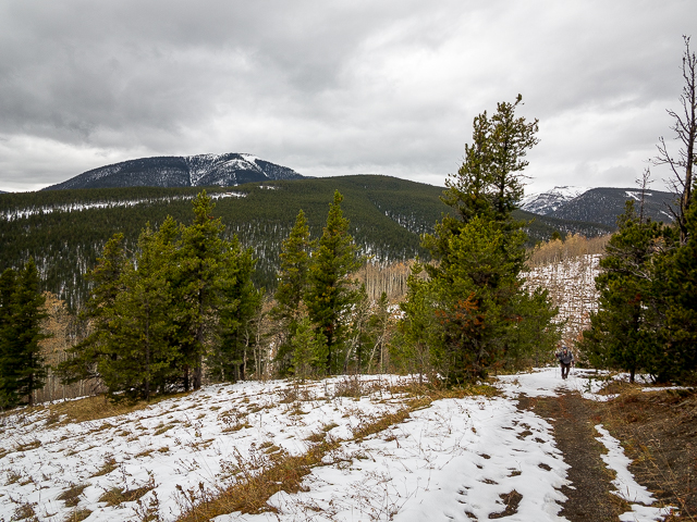
Prairie Mountain back left.
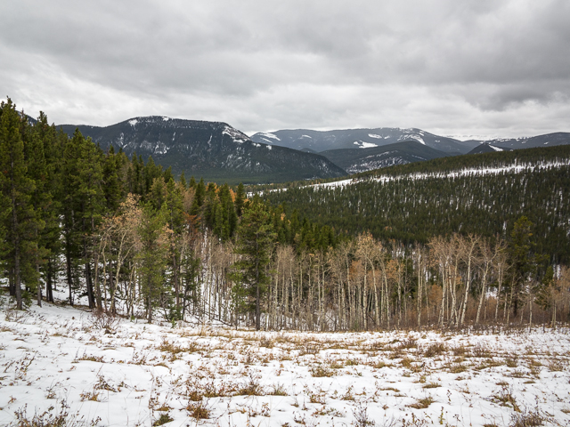
Approaching the high point.
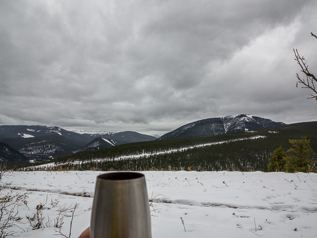
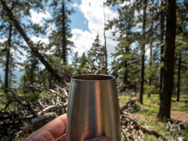
A toast to Mother Nature.
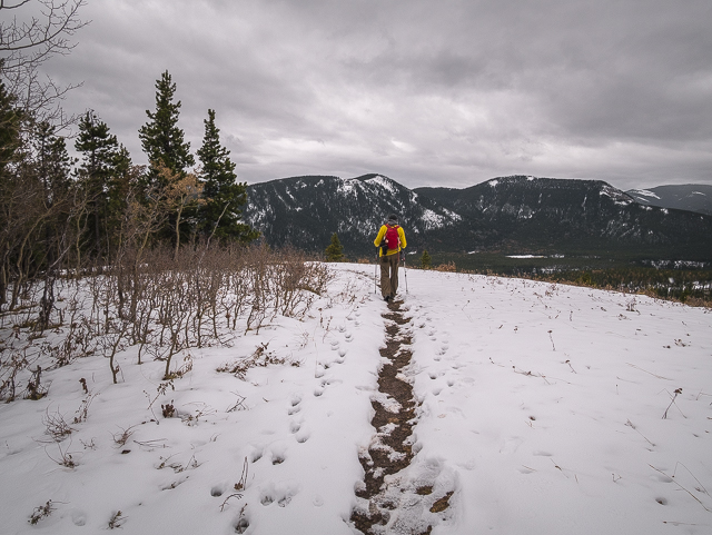
A view to the south and soon to drop down.
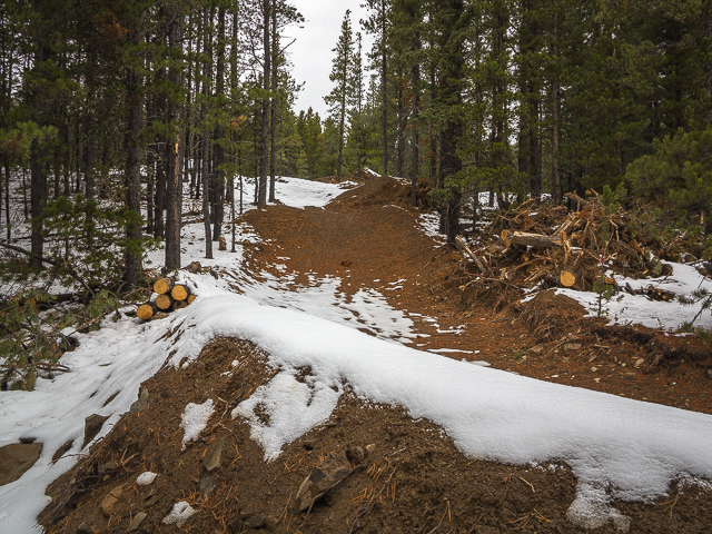
A new bike trail being built.
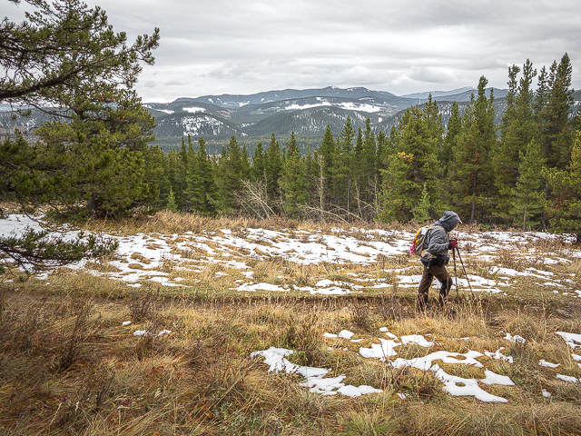
Soon to meet up with the Elbow Valley Trail again.
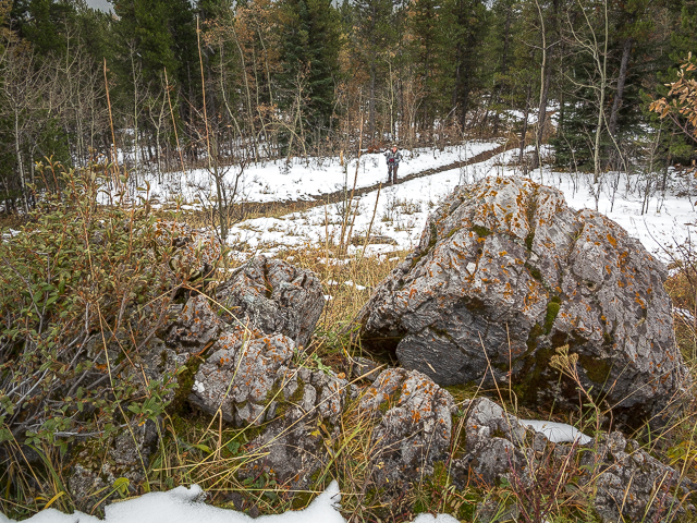
The trail rise and falls a lot along this section.
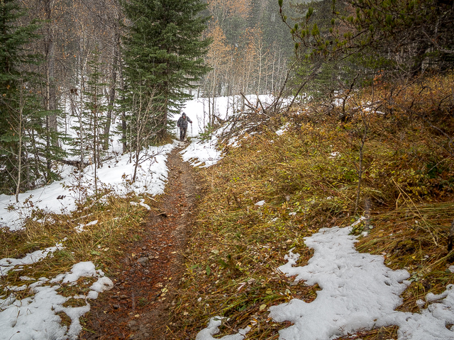
With all the ups and downs its a nice workout.
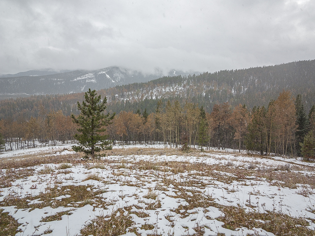
A storm rolls in from the south.
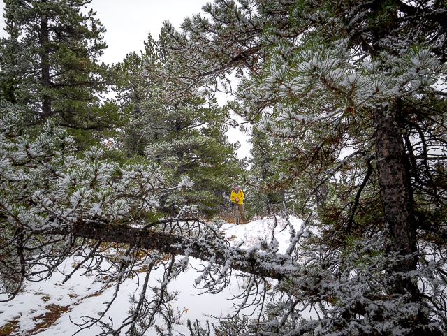
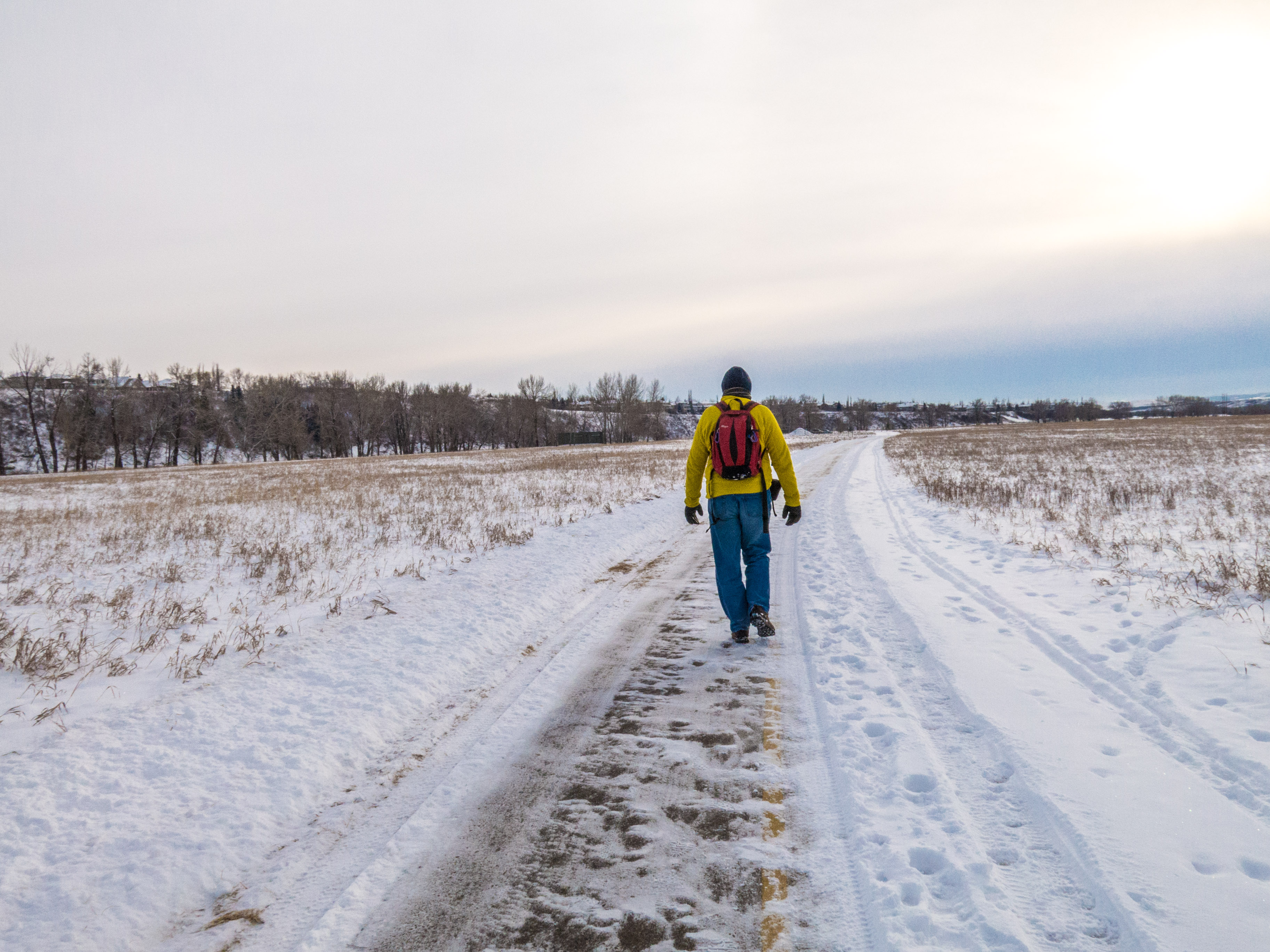
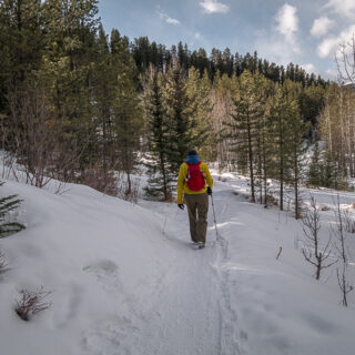
The trademark yellow jacket is like a beacon.
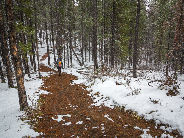
Dropping down here.
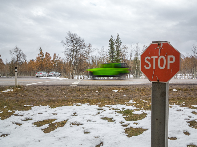
And so it ends at Highway #66.
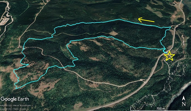
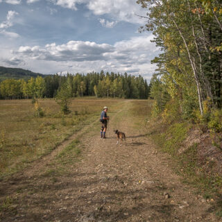
A nice little loop in the foothills.



I did the trail this weekend based on your Facebook posting. We’re not in the best of shape, but working on it and we all had a good time.
That’s the spirit!
new to this site and love it !!
That’s good to hear.
What a great hike and so carefree before all this Covid mess. I long for those simpler days.
Speaking the gospel…if we could only set back the clock.
Thank you for sharing!
Our pleasure.