Rampart – Isadore Loop (Cranbrook BC)
The Rampart – Isadore Loop is a pleasant and easy going walk in the woods out near Cranbrook British Columbia. It’s part single track (Rampart Connector on each end), part rail-trail (Chief Isadore in the middle) through forest and open grassland. Relatively flat in nature, you’ll be in the shadow the Steeples, but mostly they’ll be out of view.
It’s one of those hikes done when you’re not all that ambitious, but still itching to get out. The adventure begins at the Rampart Rest Stop along combined Highway #3 (Crowsnest Highway) and #93 (Kootenay Highway) about ten kilometres east of the Key City.
Rampart – Isadore Loop (Cranbrook BC): a couple hours of fun with Chris & Connie.
If following our route, take the trail that continues on behind the bathrooms and parallels the highway on southerly heading. What’s that, a pay phone? It doesn’t take coins, only cards, but still, that’s not something you see everyday in 2022.
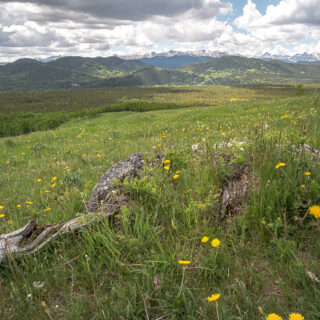
There’s plenty of interpretive signage along the loop where you’ll learn about local flora, fauna and the area’s history. Bend away from the highway and enter Rampart Prairie, a large meadow home to a number of endangered grass species. Saskatchewan folk will feel right at home here and if not for the mountains it feels like the outskirts of Kindersley.
In the distance, take in Mount Baker, a large treed mass, and rather mellow in form compared to the precipitous wall of peaks seen off to the west (when the woods aren’t in the way). At the base of low rolling hills to the west is the CPR’s old line into Cranbrook, which will be intercepted soon enough.
This open area, in the 1980s, was a party spot for misguided youth of the area, or so a little birdie told us. It managed to survive the shenanigans of these irresponsible types (looking at you Doering), who have all since smartened up (hopefully) and the grassland now healing.
Speaking of birds, Wild Turkeys can frequent the area although they were nowhere to be seen on our visit.
Just past a pond, reenter the forest, climb up to the rail grade and make a hard right. The trackbed parallels an old road for a time, and leaves it behind on bending north-ish. The old right of way dates to 1890s and abandoned in the 1960s, due to construction of the Libby Dam in Montana and the resultant filling of Lake Koocanusa, which impacted a section of the line. The reroute runs to the west.
The roadbed is well beaten down and travel swift along this, the Isadore Trail section. Some rail-trails can be a nightmare of loose material, but since this one was abandoned so long ago, and a popular multi-use recreation trail (although we saw no one along this stretch), it’s well packed. Speaking of people, we passed only one person sharing the trail this hike, and that was almost near the end at the Rampart Rest Stop.
Isadore was an influential chief among local Ktunaxa into the 1890s and the trail named in his honour.
In spite of the time that’s passed since the last train ran along this stretch, there’s sometimes evidence of railway infrastructure off to the side. It’s mostly line pole remains, but sometimes odd bits of track hardware and other stuff is seen. The roadbed follows a rocky bench and bends with the land, almost always under a canopy of trees.
You can hike or bike this old rail line for some distance in each direction with one large bypass that avoids some private land on the Wardner end. When you arrive at Lake Koocanusa, you’ve reached the terminus and this body of water the whole reason the former line exists as a recreation trail.
Was that an eagle? Zoom in on the screen…I think so! It circled overhead once and was gone.
Pass a little pond and in years past (so the 1980s), long before the roadbed was an official trail, we used to bike it and recall often seeing deer congregating here (and a bear once). Lots of flowers along this section.
Look west here to the Steeples and Fisher Peak, the tallest and most prominent bump in that range. What an impregnable barrier and you have to travel quite a bit north or south to get around them.
There’s a little side trail along here to some historic rock ovens put in by the railway construction crews a hundred and twenty five years ago, but we were so engaged, we somehow missed the turnoff. We’re sure getting dense with age. These were last visited by Team BIGDoer in the 1990s and we’re sure we’ll be back before too long. It’s been a while and they deserve a long overdue revisit. These were put in by the crews entrusted to feed the travelling convoy of workers and abandoned as track was laid.
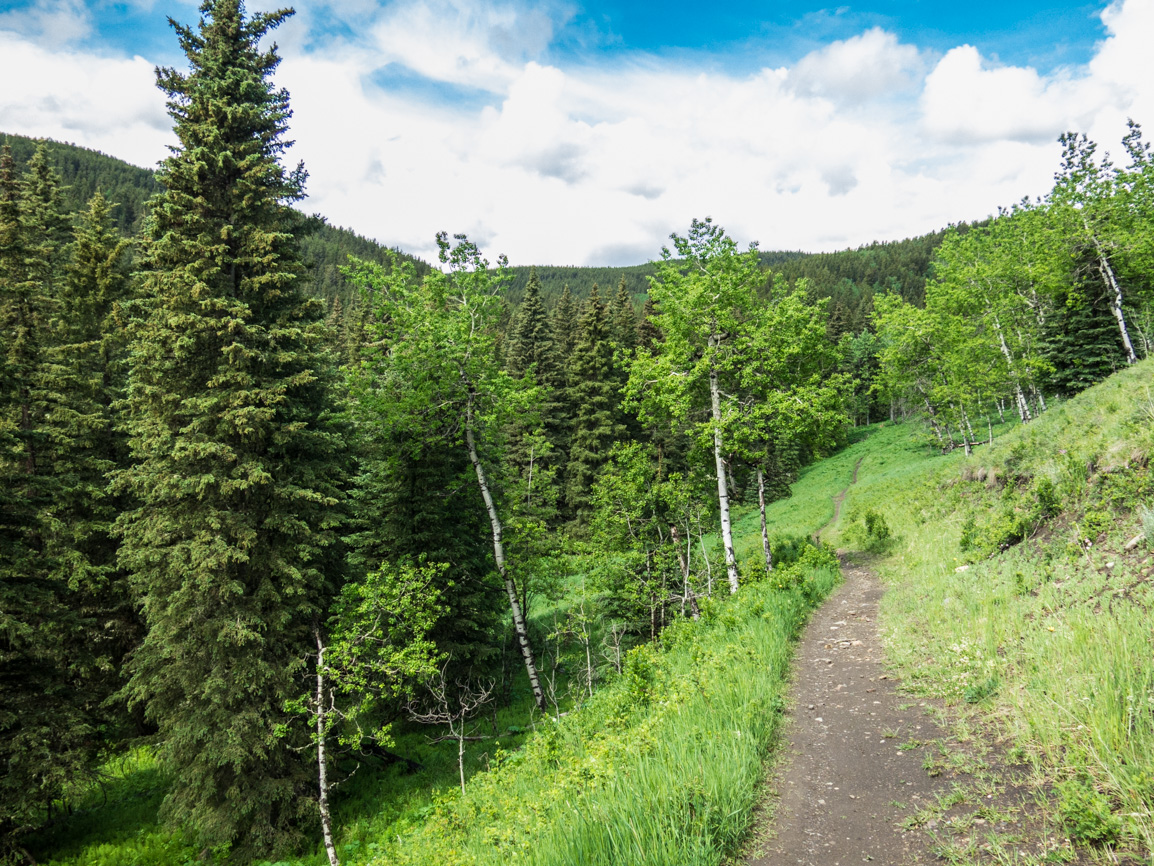
Just past here, leave the railway behind and take to the singletrack at a gate in the fence. Still in the trees, the trail follows the gently rolling land and it’s real easy stuff. At an interpretive sign on the topic of deer, we hear some noise behind us and what do we see, but a deer. Right on cue!
There’s some faint side trails here and there, going who knows where, but as long at you keep on a easterly heading you’ll arrive back at the parking lot. Someone had a little fun with signage underfoot along this section. For rent, eh? It’s still bigger than our place and in a better location.
Come to a pond (nice views of Fisher there) and soon after the Rampart Rest Area. It’s over…already, but the fun has to end sometime. While a piece of cake physically and nothing spectacular in terms of scenery, it’s not without its charms. A day is the woods is always good one and we thoroughly enjoyed the experience.
Know more (new window): Cranbrook BC Hiking.
They’re saying…
”Love the articles and blog posts. Very informative and interesting. Chris and Connie do a great job of researching and writing. The photos are amazing! Love it all.” Lila Cugini.
Nothing hard here….
Devil’s Hole (East Kootenay BC) – in the area.
Sandy McNabb – Long Prairie Ridge.
Deer Ridge.
If you wish more information about this route or if you love to chat don’t hesitate to contact us!
Date of adventure: July, 2022.
Location: Near Cranbrook BC.
Distance: 6.5km loop.
Height gain maximum: 70m.
Height gain cumulative: 140m-ish.
NOTE: all distances and heights are approximate and may differ slightly from other trip reports (including our own).
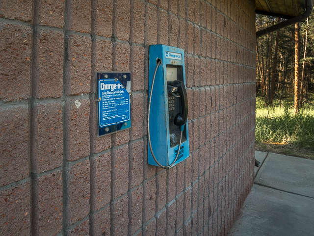
A relic from the past at the Rampart Rest Area.
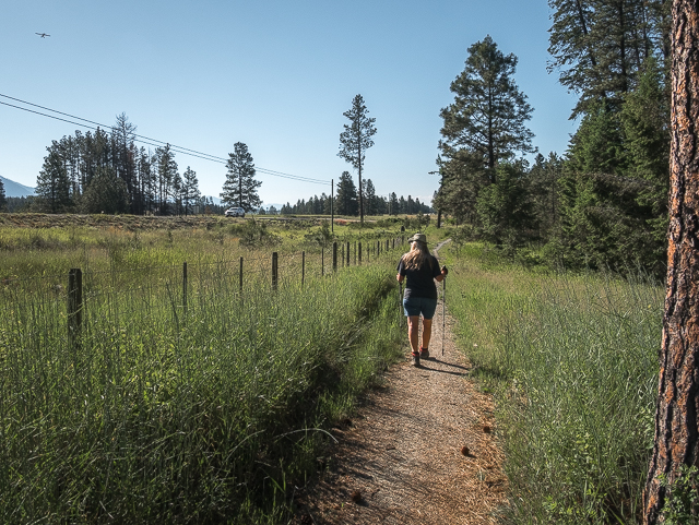
By the highway on Rampart Connector – see the plane?
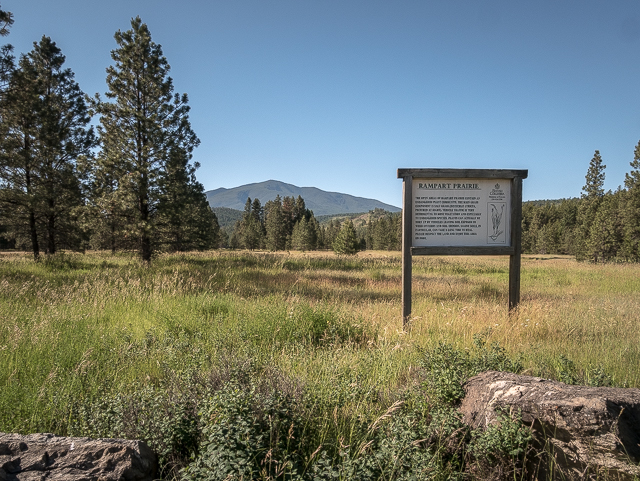
There’s lots of Interpretive signage.
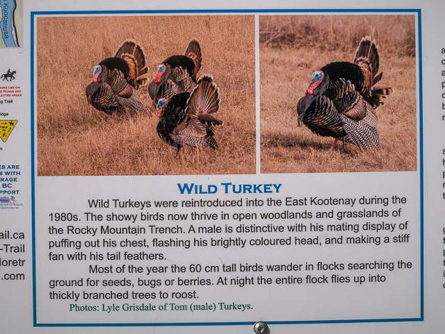
They were shy today.
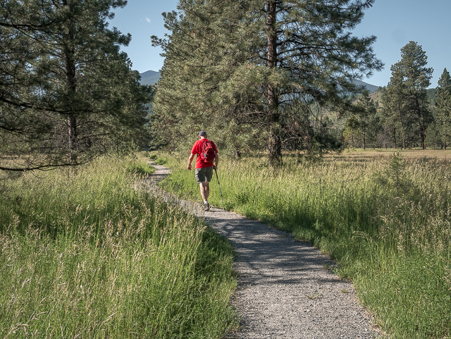
It’s a pleasant little stroll.
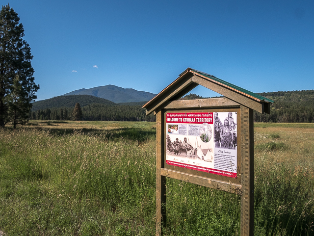
Mount Baker in back.
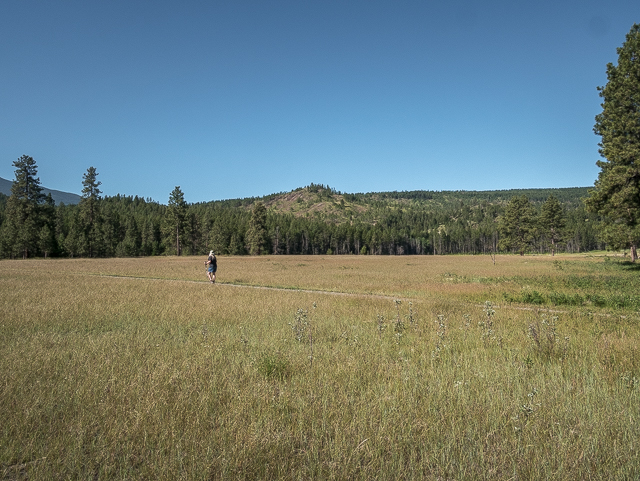
Crossing Rampart Prairie.
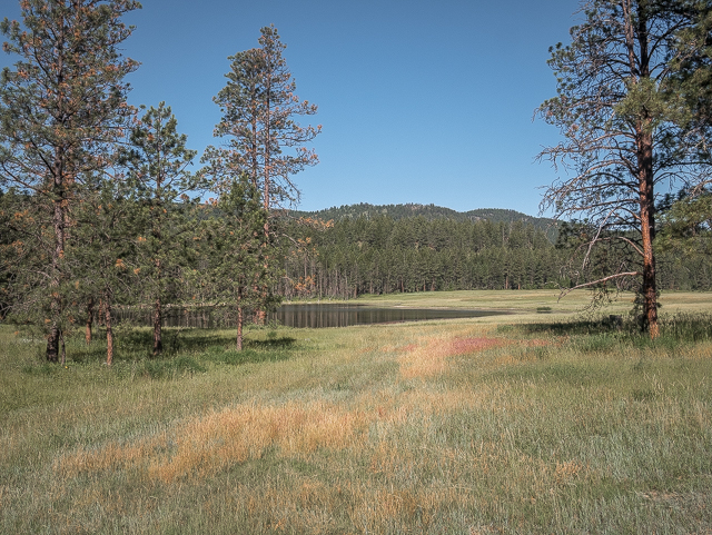
A little pond beside the trail.
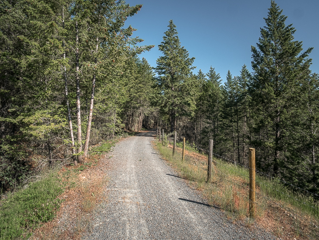
Along the Chief Isadore section, a former railway line.
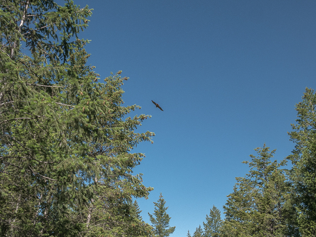
Cleared for landing at YXC.
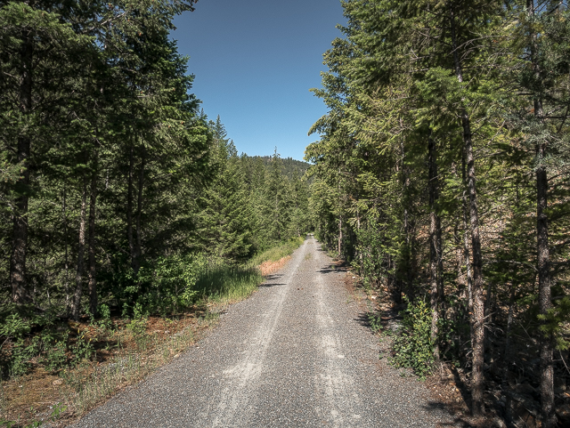
Track was removed well over fifty years ago.
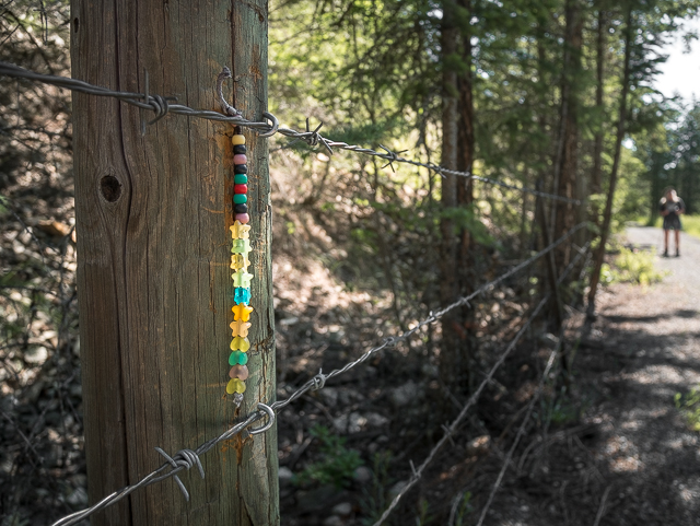
It’s the little things…
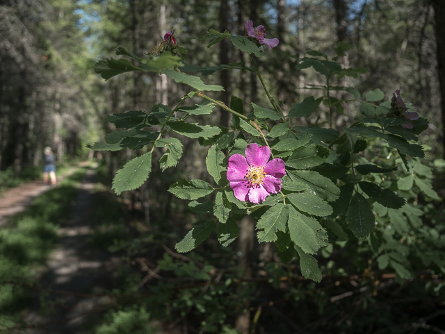
A splash of pink…
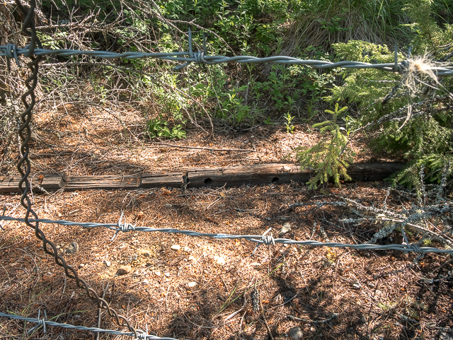
An old line pole cross-arm.
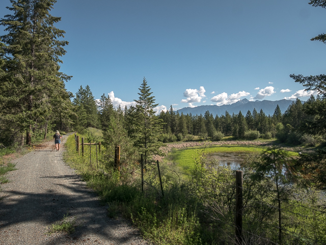
A view of the Steeples.
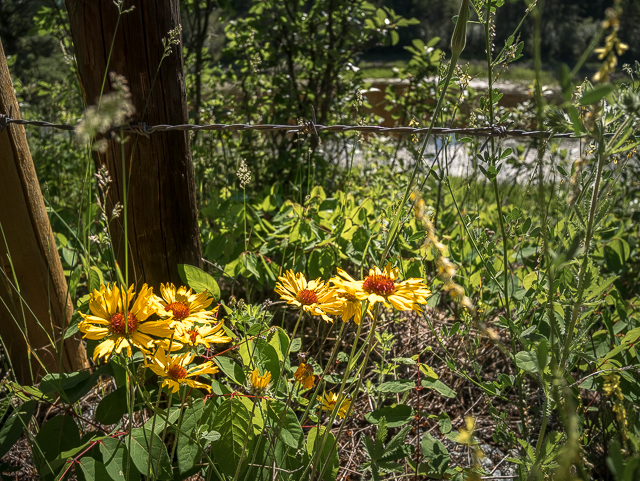
And a little yellow…
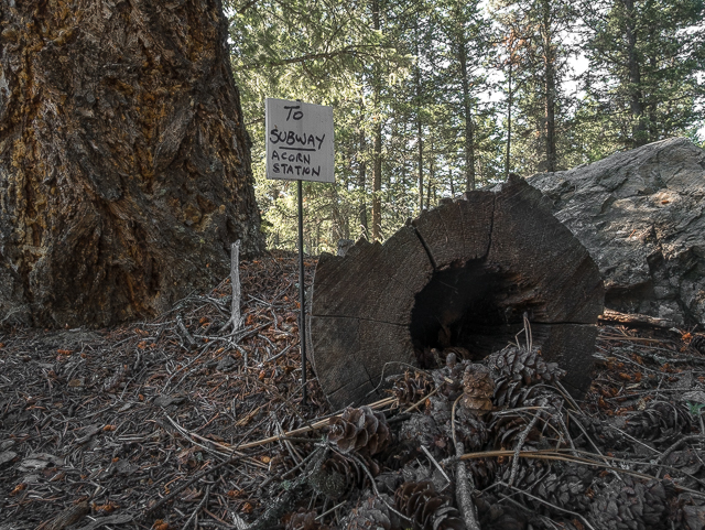
Down by your feet.
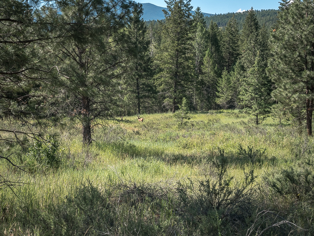
This deer was spotted…
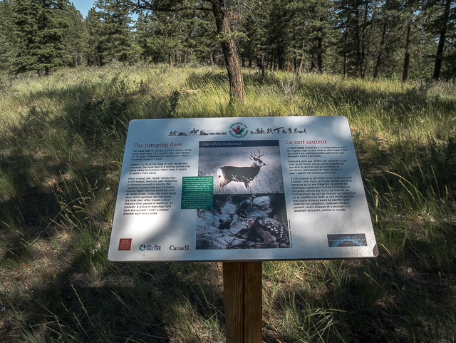
…While reading this sign.
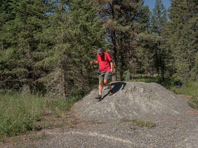
The high point?
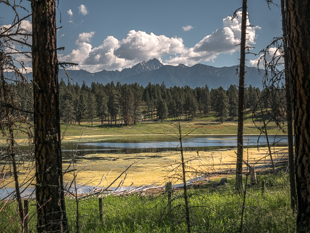
Fisher Peak features prominently.
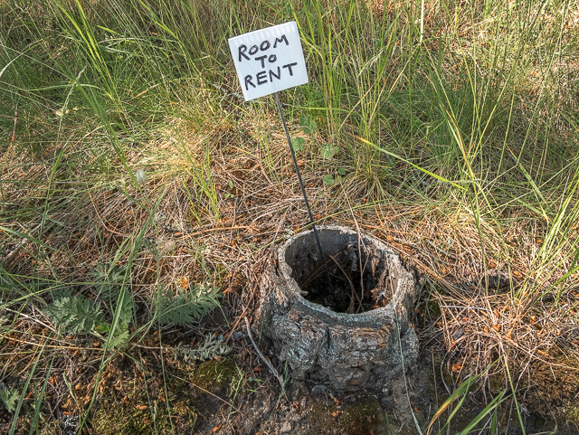
It’s still bigger than our place.
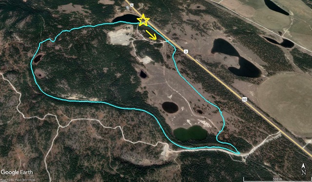
The Rampart – Isadore Loop.



Comments are currently turned off