West Bragg Creek Snowy Owl (mostly)
West Bragg Creek Snowy Owl: for the most part it takes place along the aforementioned trail, in an extensive network of trails convenient to and just a little west of Calgary. The location is the foothills of the Rockies and the loop presented here makes for a pleasant winter’s walk in the forest. While mostly lacking any far reaching views, there’s the odd spot from time to time, where one can look out over the countryside.
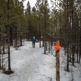
The trail is usable all year, although on the map of the group that curates the network (Greater Bragg Creek Trails Association), it’s shown for winter use. It’s that pink line on the abundant signs that can be found along the route and it seems there’s one at every junction. Snowy Owl is multi-user so expect to share the trail with bikes (mostly), other hikers, snowshoers (one seen), and even equestrian riders (evidence seen – so road apples). It’s for everyone and WBC is the United Nations of outdoor activities.
West Bragg Creek Snowy Owl (mostly): follow the pink line! Another Chris & Connie adventure.
The trailhead is at the parking lot about five kilometres west of Bragg Creek and off West Bragg Creek Road. Where it dead-ends, the fun begins. There’s room for lots of cars and it can get busy, but don’t worry. There’s dozens of multi-use or single use trails (the latter typically only for the special needs of XC skiers) here and everyone seems to go their own way.
Once out of earshot of the parking area, it’s rarely that busy and gets less and less so the deeper in you go. Start off at the SW corner of the lot and cross the creek on a wide bridge.
Continue south on the wide double track, then at the base of slope, turn left on Crystal Line. After a small rise, come to a junction – straight ahead is the Crystal Line ski trail and the single track to your right, which is the route to take, is marked Boundary Ridge.
The main climb begins here, but it’s nothing much really, and by the time you transfer to Snowy Owl, you’ll have gained most of the day’s elevation. The trail takes an easy path through the trees and the occasional break allows one to look out over the forest.
There’s plenty of junctions along the way (with signs, recall), so be sure to keep tabs on your heading or forever wander the woods lost. Many will be with Cross Country Ski Trails and these routes are exclusive use for that activity. In winter that is and come summer they’re wide grassy paths that can be used as fast connector trails for hikers and bikers.
Transfer to Strange Brew and continue climbing at a nice and easy rate. The trails here are well thought out and never too steep or wild. After a couple more XC Trail crossings, come to another junction and turn right on Snowy Owl. It’s pretty much downhill from here.
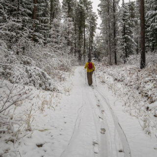
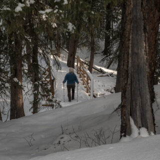
There’s been a fair bit of snow this year and it seemed particularly deep along sheltered sections but fortunately the trail’s been well packed down. For the next while, traverse a hillside, sometimes in mature forest and other times through or beside cutblocks. The surrounding area is logged from time to time and the two worlds seemingly coexist without clashing.
Where Snowy Owl crosses Ranger Summit one can take a short detour down-slope to Loggers XC Trail to use a picnic table located there. It timed out perfect for us and we made it our lunch spot. This is the high point on this ski run, incidentally.
Back on Snowy Owl, there’s more cutblocks and untouched forest for the next couple clicks. There’s few rises and as many drops, but little elevation is gained and more is lost. Once in a while, there’s views off to the west and Moose Mountain is most prominent in that direction. Small saplings mark a relatively recent cutblock. They replant right after logging but it takes a bit of time before they’re full-sized trees.
If you follow this route in winter it’s recommend you bring traction devices. We didn’t need them, on account of fresh snow that had packed down nicely without tuning icy, but had them at the ready.
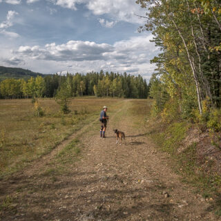
Left at the next junction (right is a shortcut to the parking lot), up and over a small rise, cross another ski trail, then come to a large open and windswept meadow. Here’s a good spot to take in rolling hills to the west – the big peaks are still a long way off, however.
Drop down into the trees, cross one more ski trail, the after levelling out, bend towards Mountain Road. Join up briefly with a ski trail at a bridge and on the other side, reconnect with Snowy Owl. From here on in, you’ll parallel the ski route and for the most part the rest of the hike is flat.
Sometimes the creek backs up and ice flows or water will cover this part of Snowy Owl Trail, but you can detour to Mountain Road just to your left if needed. It’s multi-use (walk off to the side) but often busy with Cross Country Skiers and less peaceful.
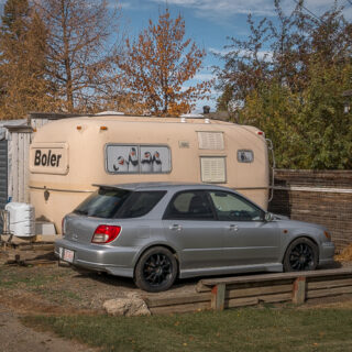
In a few minutes you’ll arrive at your car and with that the fun’s over. The parking lot is busy with outdoorsy types coming and going from the various trails and there’s more than a few après-ski/bike/hike get-togethers happening within our field of sight. It’s a party atmosphere and you know someone should really take advantage of this and set up a concession. They could do a killer business. That old Olds seems out of a place among all the SUVs, but then again so does the crappy BIGDoer-mobile.
This is by no means our first visit to the West Bragg Creek trail network and we’ve been coming for eons. Back then there were a handful of trails – XC only during snow season and hike or bike in warmer weather. Now there’s seemingly an endless number, for all disciplines and every season. We’ve only scratched the surface and we’ll be back again, no doubt.
If this inspired you to follow our footsteps we hope you enjoy the hike. It’s probably more interesting in the colder months, than mid-summer, but whatever. This trail, and all those in the network are quickly accessible from Calgary all years round, so a nice easy option. As a treasure for all to enjoy be sure and help with upkeep and please consider donating to the GBC Trails Association if you can. You can do it online or at the parking lot kiosk.
Know more about the network (new window): West Bragg Creek Trails.
They’re saying…
(The website is) A true “Rare Hidden Gem!” Ian Thomas McAlpine Paterson.
Fun in the WBC network…
Ranger Summit – Strange Brew.
Merlin View.
Sugar Daddy/Sugar Momma.
Iron Springs – Elbow.
If you wish more information about this route or if you love to chat don’t hesitate to contact us!
Date of adventure: February, 2023.
Location: West Bragg Creek, Alberta.
Distance: 9km loop.
Height gain maximum: 160m.
Height gain cumulative: 200m-ish.
NOTE: all distances and heights are approximate and may differ slightly from other trip reports (including our own).
Reference: Greater Bragg Creek Trail’s Association.
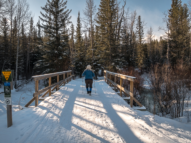
Let the fun begin!
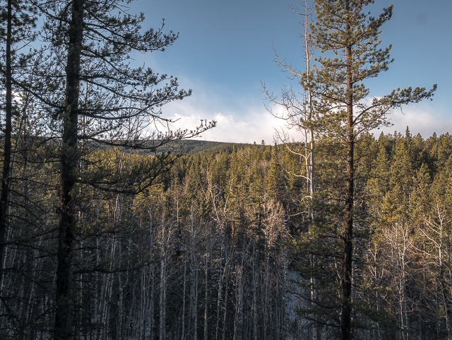
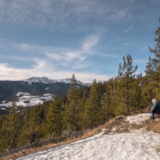
At a break in the trees.
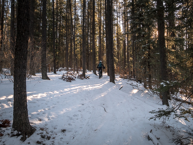
A fat-tire bike passes along Boundary Ridge Trail.
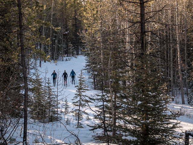
Skiers below.
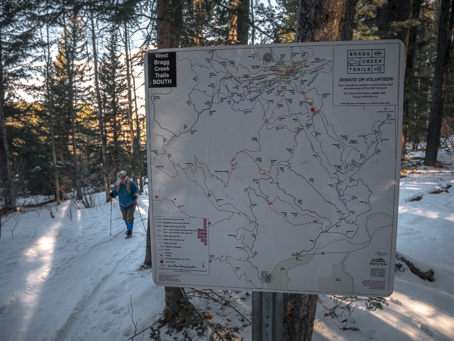
There’s maps everywhere.
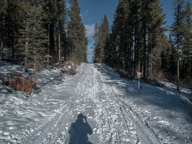
Crossing an XC trail – the light was so harsh.
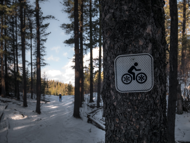
Leaving Strange Brew for Snowy Owl.
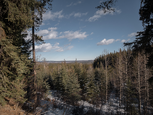
Looking northeast-ish to the plains.
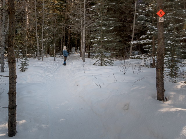
We hear an owl up in the trees, but can’t spot him.
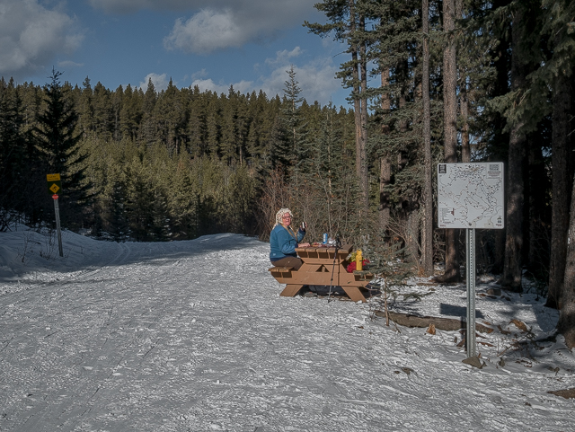
A short detour to our lunch spot.
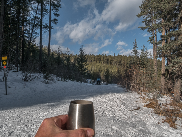
Cheers! And for skiers it’s all downhill from here.
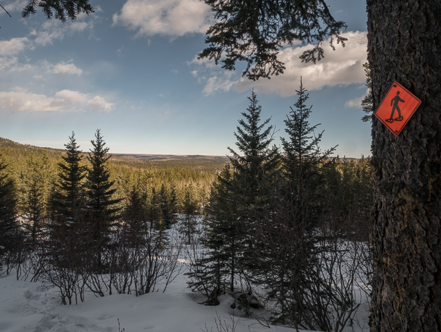
It’s no mountain top but the view’s are still quite pleasant.
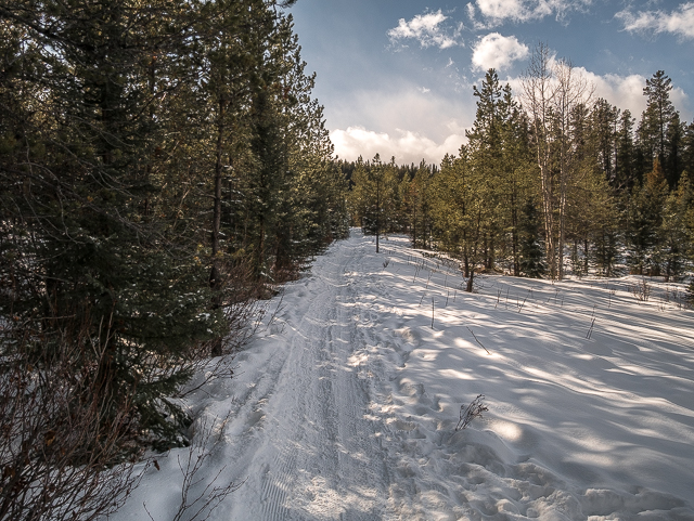
Skirting an old cutblock.
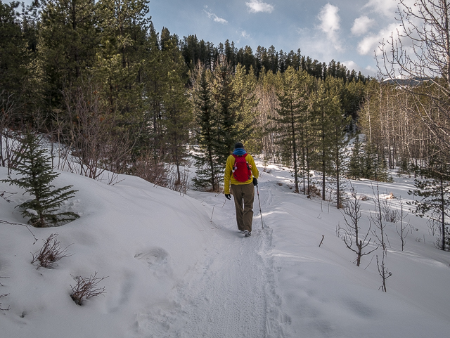
No missing the yellow and red.
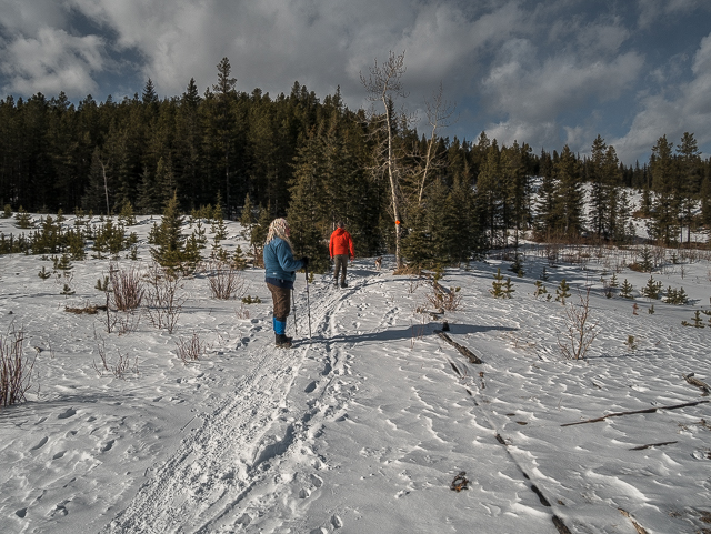
They recently harvested trees along this section.
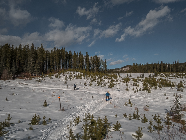
Coming to another XC crossing.
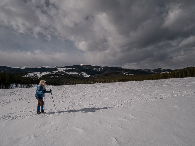
Through a large open and windswept meadow.
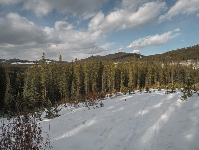
Rolling hills to the NW.
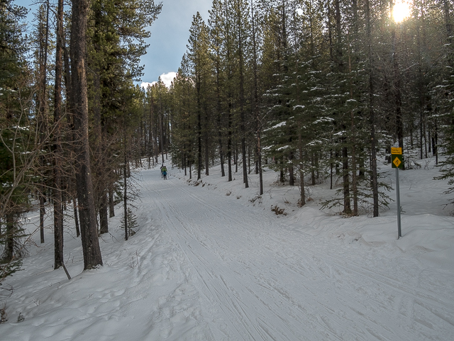
Crossing another.
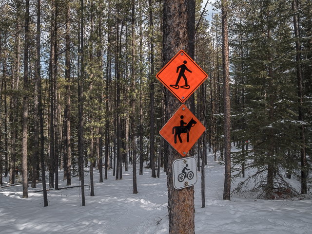
Also for hikers.
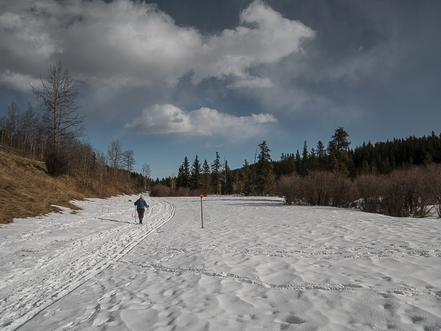
The final section is flat and out of the trees.
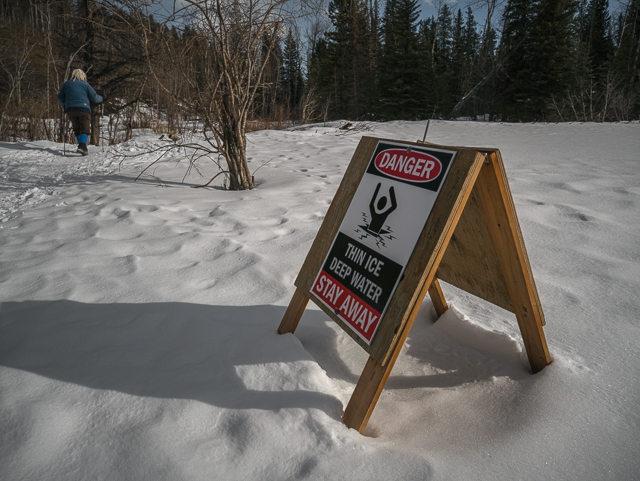
The stream backs up sometimes and creates ice flows here.
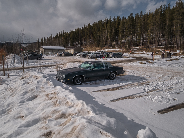
Vintage Driver: an old Olds spotted in the parking lot.
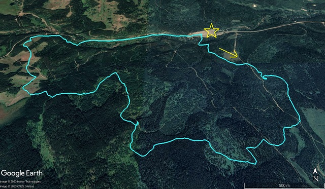
West Bragg Creek Snowy Owl (mostly), a fun little loop.




Comments are currently turned off