West Bragg Creek: Long Distance South
Here’s the last hike of the winter season for us, although the route documented can be enjoyed any time of the year. Things are warming up (finally) and this shoulder season is a quiet time for the West Bragg Creek Trail system. Presenting a pleasant little loop in the woods tackling a low hill and with the best fun to be had along the Long Distance South Leg.
In addition, the route takes in sections of Telephone, Snowshoe Hare, Demi-Tel and Braggin’ Rights Trails. There’s a literal spaghetti bowl of routes in the network and hopefully we’ve curated something nice and fun here. This is the foothills region of Kananaskis and the terrain not awe inspiring, but still quite a pleasant place none the less.
West Bragg Creek: Long Distance South – a wonderful loop hike in an extensive network and another Chris & Connie adventure.
It begins at the very end of West Bragg Creek road, west of (guess what) Bragg Creek. It’s a short hop from Calgary and at this point, it puts you just inside the Kananaskis boundary. That’s one big parking lot and this hints that things can get busy at times. This April day, however, there was not much going on and that’s our kind of thing.
The first leg is along Telephone Trail (one of the oldest legacy routes within the WBC network) and it begin at the northeast corner of the lot. There’s a detailed map at the start and most junctions are posted similarly. In addition trails are well marked in other ways and it would be hard to get lost here.
The going is pleasant and it’s easy to daydream along this first stretch. Imagine yourself not at the office and toiling away, but out hiking along some serene wooded trail…wait it’s already happening here. Telephone Trail: a communication’s line that long ago once ran somewhere close by and connected a couple ranger stations together.
We seem to recall spotting old insulators up in trees along this section, back when we first stared seriously hiking over twenty years ago, but don’t recall exactly where.
Pass junction after junction. Some trails are for XC skiing only in winter and others multi-use of some kind or another. The map not only shows you the way, but what each can be used for. How ever you slice it, there’s lots to do and experience no matter your mode of transport. The trail is flat for the most part and about as easy as it gets. Go left at Snowshoe Hare West and now the climb begins, but it’s not that steep or hard.
Telephone Trail continues on north, only to later loop back and is of the longest single trails in the network. It dates back to when these were mostly for the use of the skiing fraternity and we’ve done it a couple time (on foot), but not recently. It’s sixteen kilometres of wooded fun, and quite wet on the west side (in summer)
Snowshoe Hare splits (we went right), then rejoins and soon after hooks up with Demi-Tel. Go right and left is a continuation of Snowshoe Hare West. Up to this point, the snow was hard packed for the most part and a skating ring in places so spikes came in handy.
Along this next section it was soft from the sun and the going slow. Each third or fourth step, the thin crust gave way and you’d sometime sink ankle deep. Those one point six clicks seemed endless and we won’t be back! Okay, we will, but maybe not this time of year. Normally, the trail in winter is well packed down and easy to walk upon, but acted on by the warm weather, it was sometimes squishy.
Demi-Tel is a reclaimed logging road and flanks the edge of a former cut-block. They have always logged in the area, and still do, but somehow industry and recreation peacefully coexist. Making a large sweeping arch and gaining elevation rather slowly, come to a four way junction.
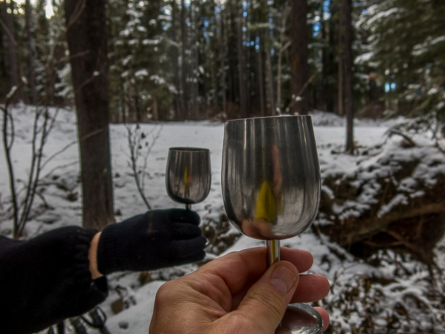
There’s a picnic table here and we made good use of it. The woods, good eats (homemade teriyaki chicken salad rolls), a nice wine and for a moment, the world seems right.
Post snack-stop, it’s onto Long Distance South – a lot of trails in the immediate have a telephone themed name. We were passed one small group of hikers along here (we’re always the slowest) and along with another group seen while lounging at the lunch spot, these were the only people we’d see the entire day save for the parking lot.
Don’t expect this type of solitude outside the quiet winter to spring shoulder season, but this day, it’s like the place was all ours. And it was pure heaven but the WBC trails might often be confused with Deerfoot on some summer weekends.
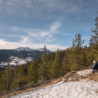
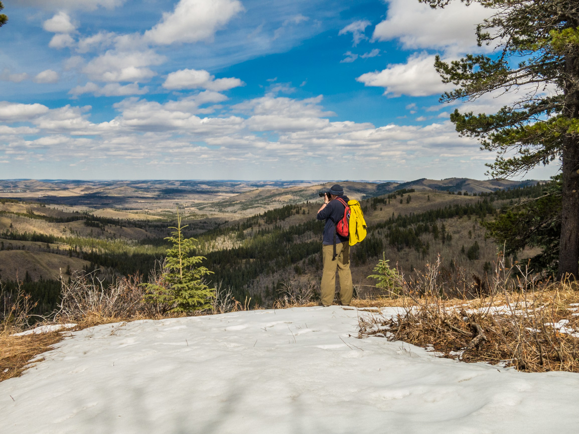
Long Distance South tops out on a low bump and then makes a slow descent to the parking lot. Along here, there’s the occasional opening in the trees to view the world beyond but mostly it’s a forest hike. The barren rocky top of Moose Mountain can be seen once in a while, off in the west, but otherwise it’s an area of rolling hills.
Compared to earlier, the snow pack or ice build up along Long Distance South was minimal and in places there was even barren ground.
Where the hill steepens, the grade is made easier via a series of switchbacks and at the next junction, hook up with Braggin’ Rights for the most direct line back to the parking lot. Being on a south sun-facing slope means this section is often devoid of snow and ice in winter.
In few minutes, the parking lot comes into view and the fun is sadly at an end. Who agrees…hate this part…right? This is just one possible route in the network and there’s so much variety that you can go a long time without seeing the same trail twice. The WBC network is a treasure and offers so much variety, so please donate to the cause if you can.
Know more about the network (new window): West Bragg Creek Trails.
They’re saying…
”Adventurers with a true heart, in a soulless world.” Peter Sisgo (heavy stuff).
All season trails like this one…
Sandy McNabb – Long Prairie Ridge.
Merlin View.
Jumpingpound Loop Clockwise.
If you wish more information about this route or if you love to chat don’t hesitate to contact us!
Date of adventure: April, 2023.
Location: West Bragg Creek, Alberta.
Distance: 8km loop.
Height gain maximum: 260m.
Height gain cumulative: 300m-ish
NOTE: all distances and heights are approximate and may differ slightly from other trip reports (including our own).
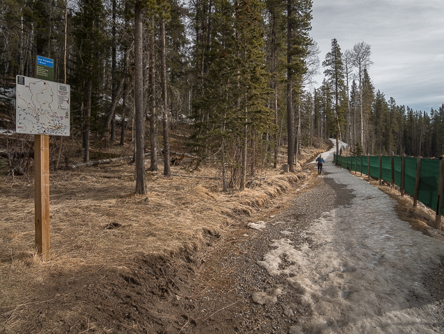
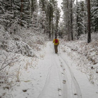
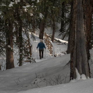
Starting out on Telephone Trail.
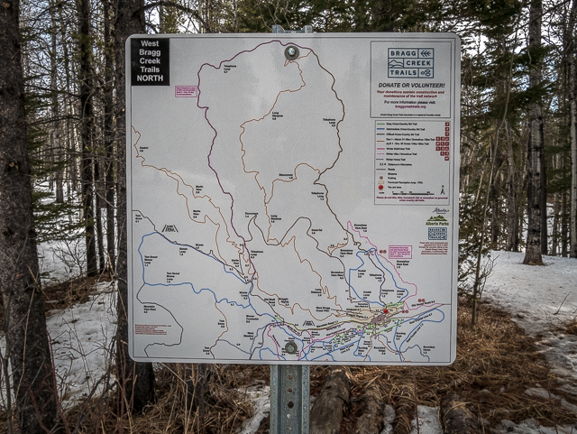
There’s maps everywhere.
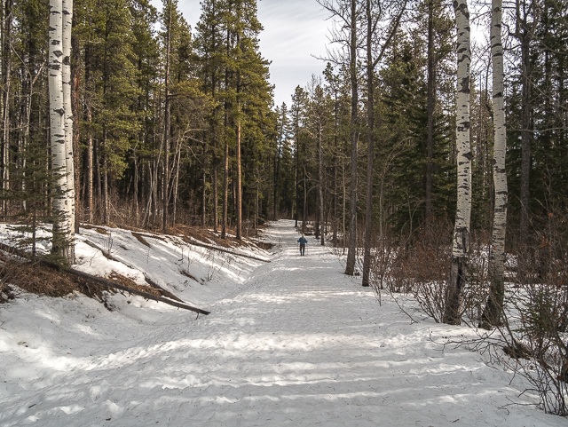
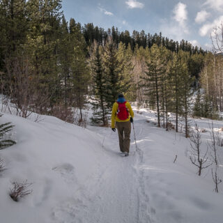
Easy going in the woods.
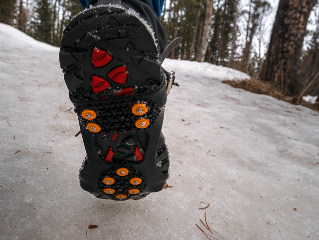
If not for these we’d have gone down many times.
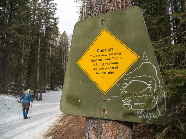
A cautionary reminder to those making the complete loop.
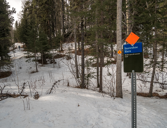
Left at Snowshoe Hare – Connie in the distance.
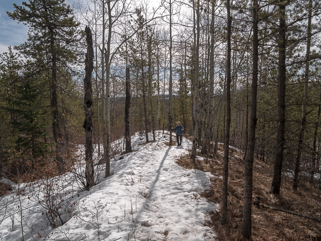
Trails were snow covered for the most part.
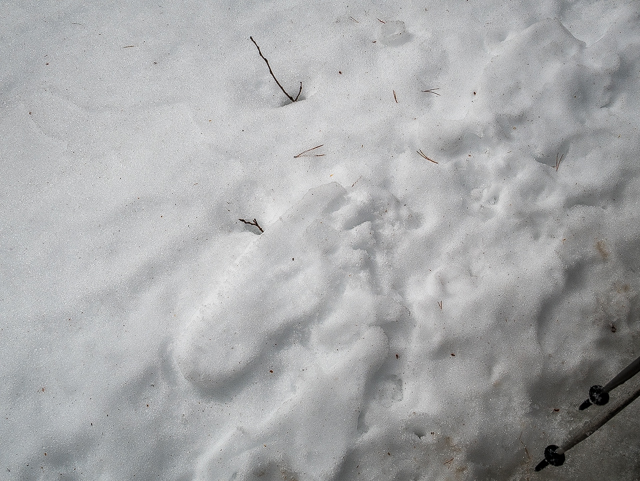
Sasquatch!
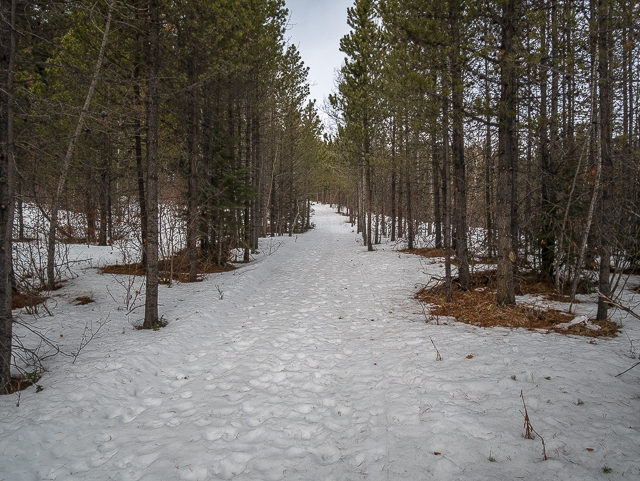
The soft base on Demi-Tel made for slow going.
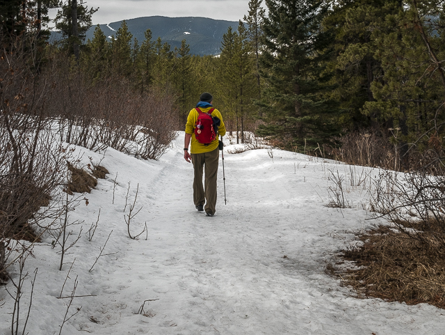
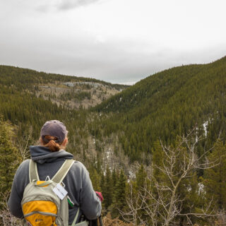
It’s an area of low rolling hills.
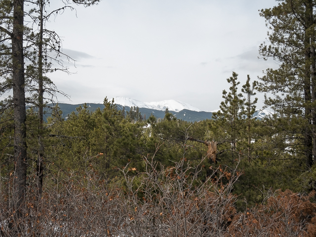
Moose Mountain pokes out above the trees.
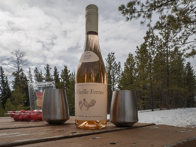
Lunch always tastes better.
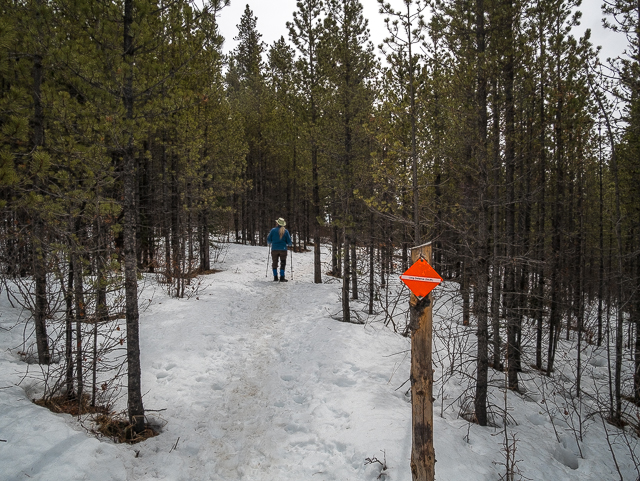
Hooking up with Long Distance South.
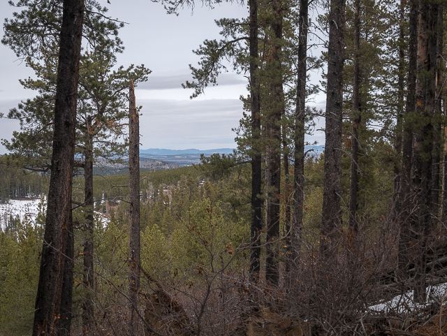
Views are limited.
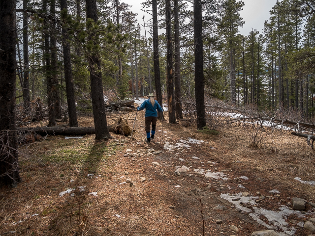
Once on the ridge top the snow mostly vanished.
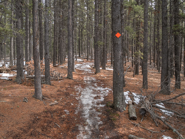
All trails are marked with diamonds.
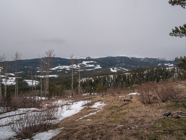
Out of the trees for a stretch.
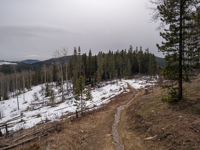
Conditions look cold & gloomy but the temp was quite nice.
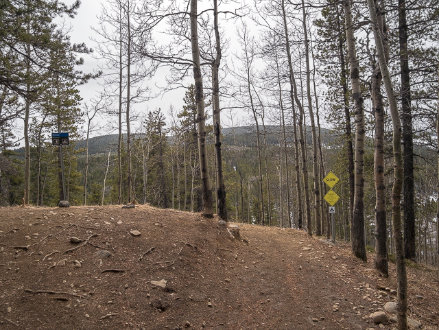
The final descent ahead.
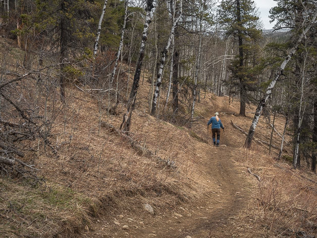
On Braggin’ Rights and the parking lot just minutes away.
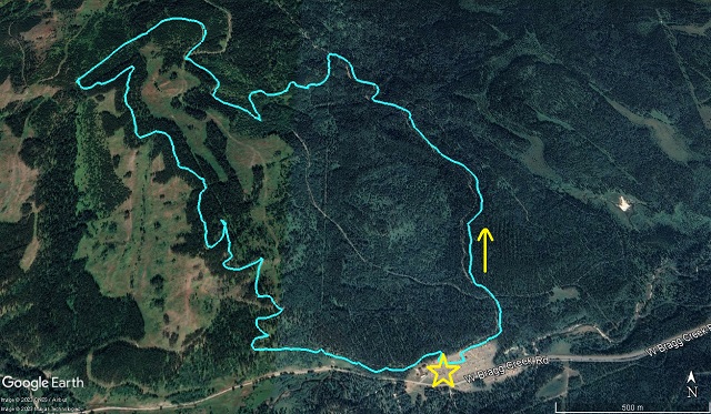
A nice loop in the West Bragg Creek Trails network.



Comments are currently turned off