Grass Pass to Fir Creek Point & More
This adventure happens in front ranges of Kananaskis, out in the Highwood River area and for a modest effort comes a nice reward. Be in awe of that mountain scenery! Following a trail up Pack Trail Coulee, one tops out at Grass Pass, then it’s on to Fir Creek Point and if feeling ambitious, add in a little ridge to the west.
Once up high and out of the trees, there’s views aplenty of surrounding hills and peaks. Leaving will be the hardest part, but then again, it always is.
The trailhead is just a little east of the Sentinel Day Use area and on Highway #541 west of Longview. It’s not terribly far inside the K-County border. Some people park beside the highway at the trailhead, but the day use area seems easier and only adds a few hundred metres to the total distance. Just watch yourself crossing the highway and don’t become a statistic. This route is a no-brainier and navigation super easy.
Grass Pass to Fir Creek Point & More: up to a superb viewpoint and on to a connecting ridge for more. A Chris & Connie adventure.
Head into the woods and start the climb. It begins almost at once and the grade steady, but never terribly steep, all the way up to the pass. It’s wide and easy going for the most part and a parallels a little creek. Sometimes the creek and trail are one in the same.
There’s some ancient firs near the start, and the as elevation is gained the forest transitions from confiders to aspen. After that it’s grassy meadows and that’s where the views open up.
Cattle are seasonally allowed to roam this region of Kananaskis and leave their calling cards everywhere. Make a game of it dodging their droppings.
It seems some of these cows are avid mountain climbers and we’ve seen them up high in places where they shouldn’t normally be. It happened here and some were spotted well above us on one steep slope.
Don’t be alarmed if you round a corner and come face to face with one. It’s amazing how much a cow and bear look alike during a surprise encounter.
Where there’s cattle, there’s cowboys and you might see a rider or two out monitoring the herd. The fellow we passed was in search of a couple head missing for a time and thought to be deceased. You might see temporary cattle fencing in places and it keeps them away from sensitive areas.
You might also notice hunters using the trail in fall (on foot, horseback or bike) and they’re likely headed to the remote valleys in the north. It’s pretty wild out that way and the only access via trails like this.
There’s a five way junction right at aptly named Grass Pass. Straight ahead takes one to the next valley over – where those hunters go – so loose that novelty antler hat if headed that way.
Going right takes you up Bull Creek Hills (a nice destination, but a bit of work) and if you go harder right, there’s a nice easy trail to Fir Creek Point. That’s the next objective here and it’s not far away either.
Left goes up the unnamed ridge to the west (we gave it this name: Ridge 710871 (Gunnery Ridge?), but it never stuck) and it will be visited later. Then of course, there’s the trail you came in on and it’s also used on the descent.
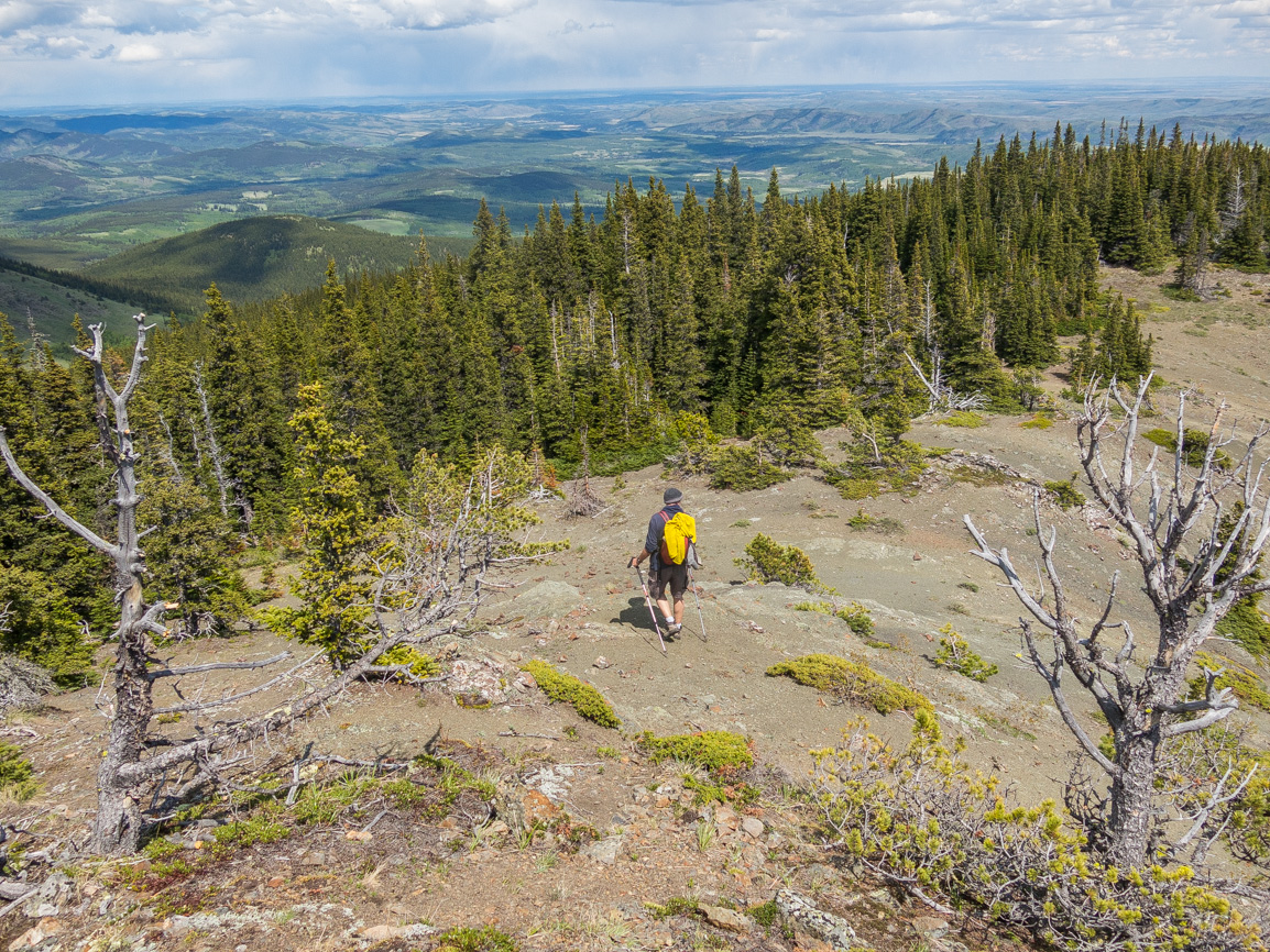
Make quick time to Fir Creek Point, with the trail bending around to a superb viewpoint. Note all the wind-ravaged pines along here. They manage to survive on these slopes, when no other trees can, but even they show the scars of a severe beating by mother nature. The air was oddly still the day of our visit (and on previous visits), but we heard it can be insufferable at times.
Patterson’s Boundary Pine is the most noteworthy of the trees and named in honour of a local rancher from long ago. These hills were a second home for the fellow and this tree his legacy.
The reason for the name Boundary name is not explained, but could perhaps be in reference to a couple of things. Maybe it marked the limits of his ranch property at the time or that it’s in the transition (or boundary) zone between the Rockies and Great Plains.
It’s said Patterson climbed both Holy Cross Mountain, and Mount Head, which dominates views to the west.
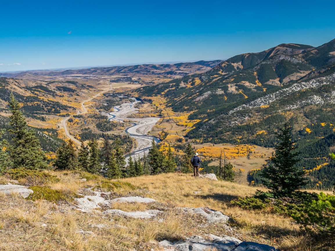
Now unwind and soak up that scenery. From this vantage point, one can look down on the Highwood River and in behind Zephyr Creek Hills. Mount Burke, and its long north ridge, is most prominent behind the group. If you look close, the old fire lookout up there on its rocky summit can be seen, but haze sort obscured it for us.
To the east one can glimpse the prairies and in that direction the flat extends for well over a thousand kilometres.
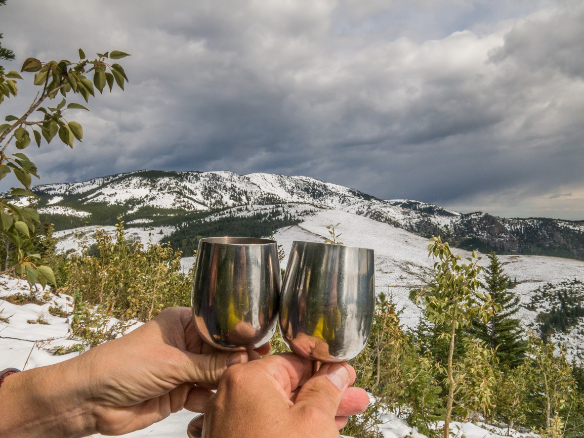
Fir Creek Point makes a great lunch spot and you know, a hike is always better with wine. Just sayin. On a recent adventure we picked a bottle at a little estate winery out near Creston BC (Wynnwood Cellars) and it was the cherry topping on this amazing sundae.
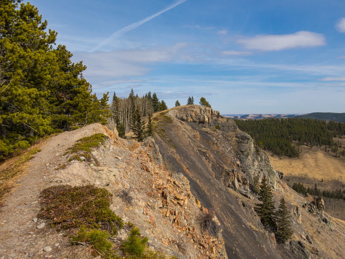
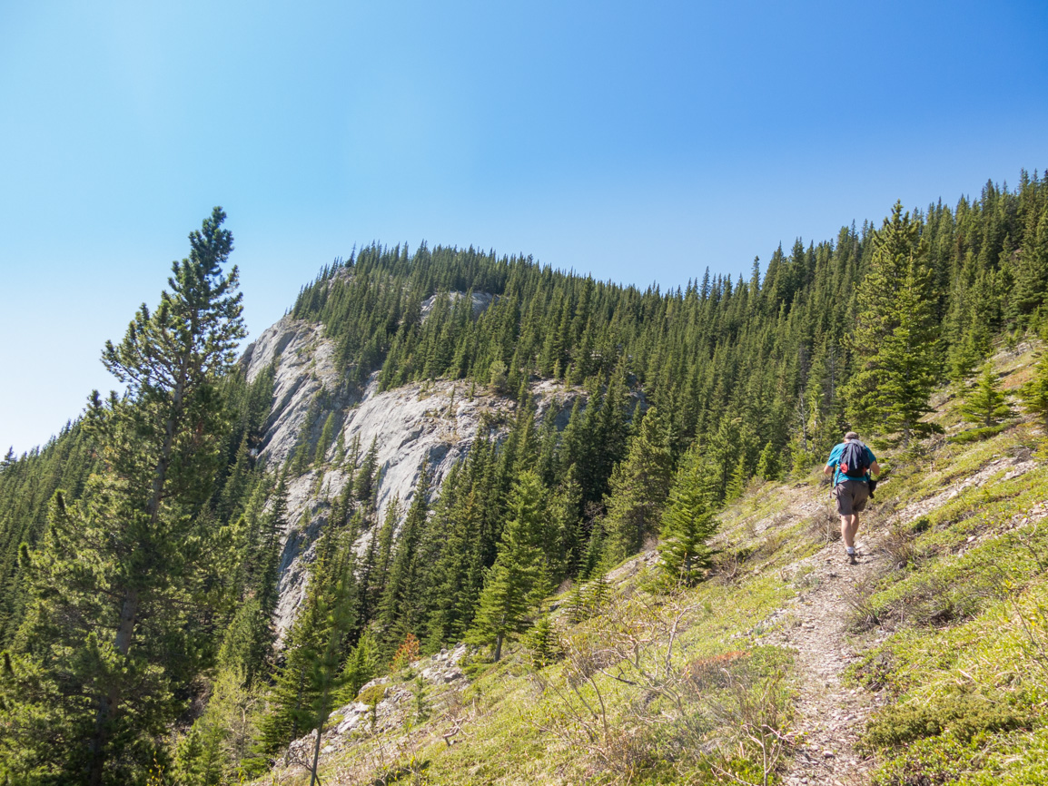
Make your way back to the junction and take the trail angling left up the ridge ahead. It’s not much extra work (<100m elevation) and the scenery pleasant, so why not? There’s a fantastic vista of Holy Cross Mountain (naming convention: melting snow in spring often takes a cross-shape on the east-facing slope) and it’s little brother Gunnery Mountain.
The many summits of Bull Creek Hills, to the east, can be clearly seen from this point and it’s a temping objective. We’ve been up there, twice, once by the Grass Pass approach and another from the far side. Here: Bull Creek Hills and here: Bull Creek Hills – East Approach.
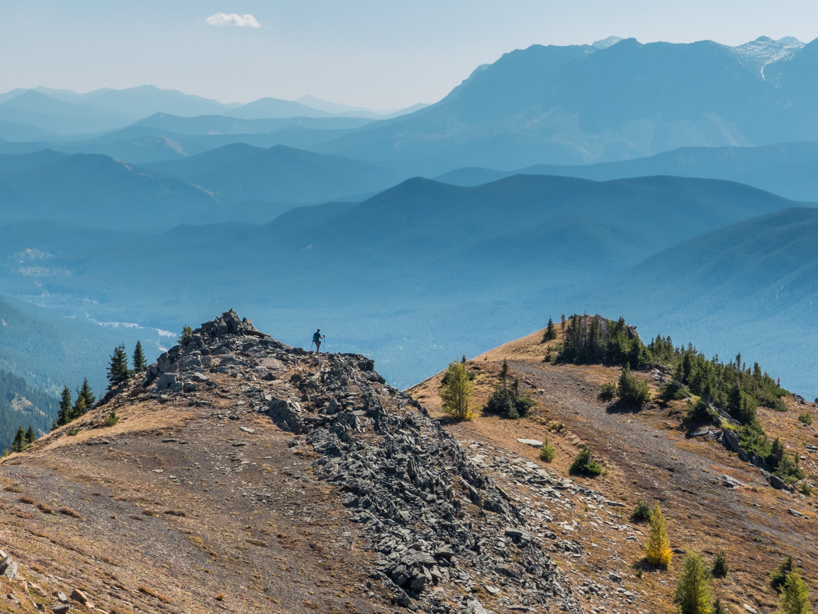
Look north to a vast expanse of wilderness visited by few. There’s trails into the area, but given the distances it’s not the domain of the day hiker. Still, you can hear the call and one can’t help wonder what adventures await if give the chance to explore.
After taking it all in, retrace your steps back to your vehicle. It’s all downhill from here! We always go on about the big downer that comes with leaving such a special place, and there’s no exception here. Can’t we stay a little longer? Pretty please!
Know more (new window): Grass Pass Kananaskis and Fir Creek Point Kananaskis.
They’re saying…
”You guys are awesome sauce!” Peter Schoenfelder (the best comment ever!)
More like this…
Mother’s Day Hill (East Kootenay BC).
Jumpingpound Mountain East Ridge.
Raspberry Ridge via Switchback Route.
Junction Hill – Coal Road Approach (a short distance away).
If you wish more information about this route or if you love to chat don’t hesitate to contact us!
Date of adventure: September, 2022.
Location: Highwood Region, Kananaskis Alberta.
Distance: 11km out and back.
Height gain maximum: 525m.
Height gain cumulative: 540m.
NOTE: all distances and heights are approximate and may differ slightly from other trip reports (including our own).
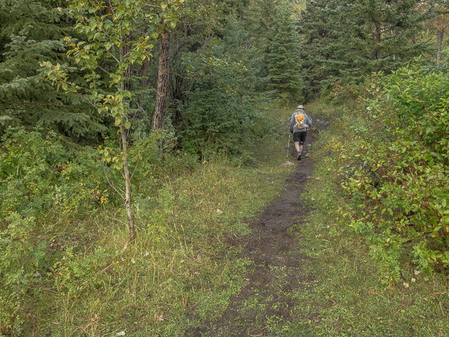
Grass Pass…it begins!
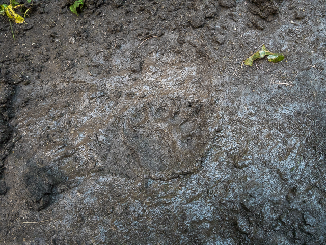
We might have company.
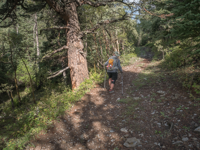
There’s some ancient trees in the lower section.
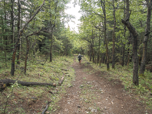
The old pack trail is wide and steadily gains elevation.
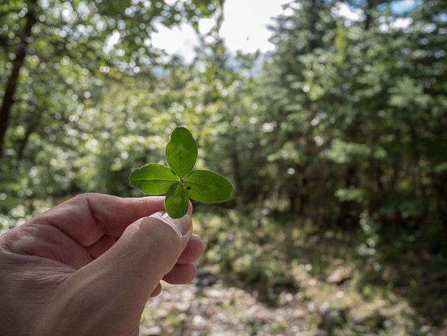
At the rate Connie finds these, our luck will never run out.
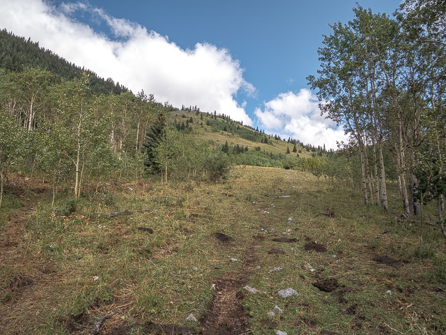
Breaking out of the trees.
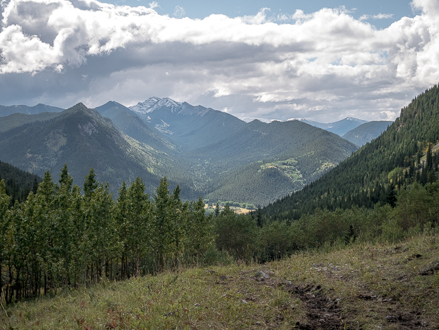
Looking back.
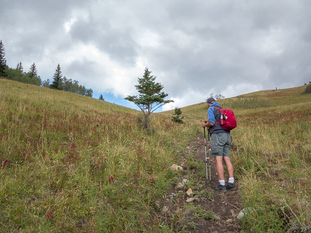
Grass Pass is at that group of trees ahead.
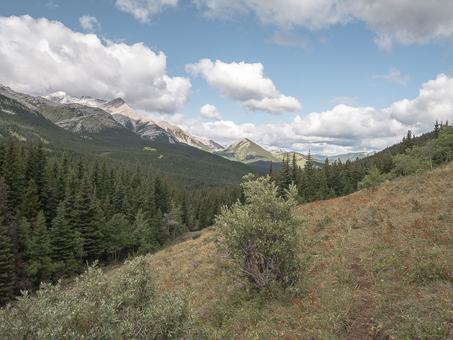
Remote wilderness to the north.
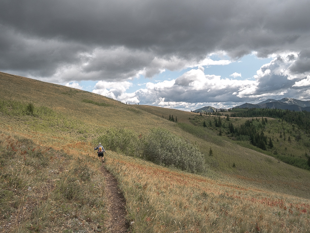
On to Fir Creek Point, seen to the right and a short distance away.
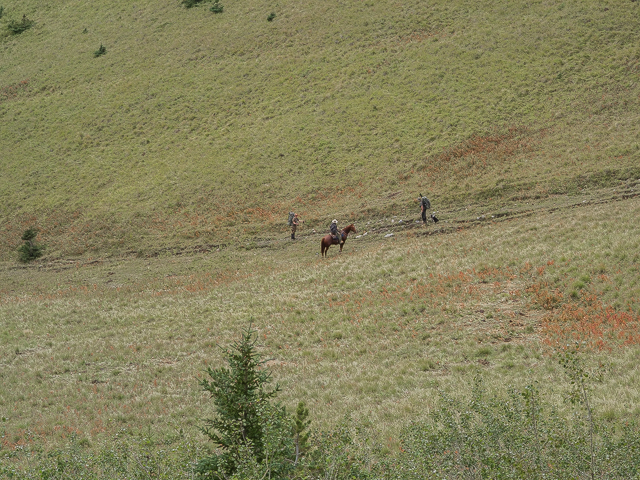
A rider in search of lost cattle and a couple hunters.
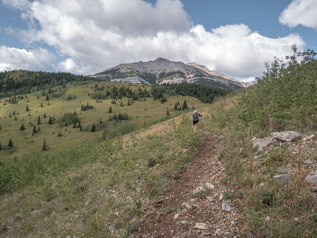
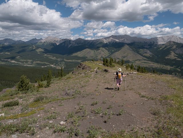
Holy Cross Mountain is almost always in view.
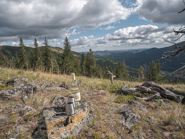
A reward for reaching Fir Creek Point.
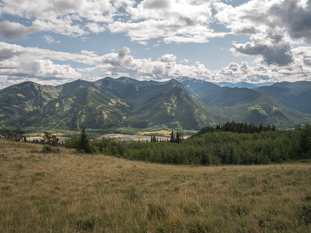
Incredible views of Zephyr Creek Hills to the south.
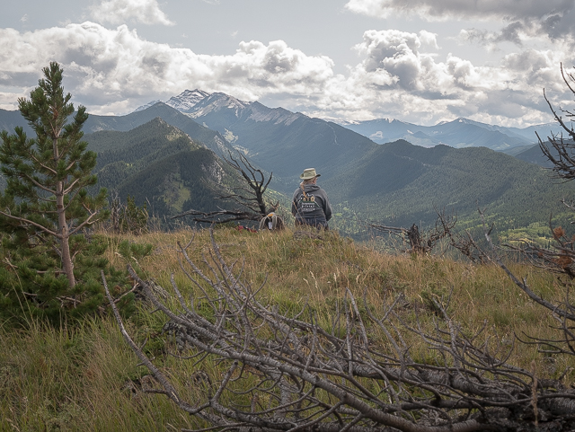
The long ridge off Mount Burke is seen above Connie.
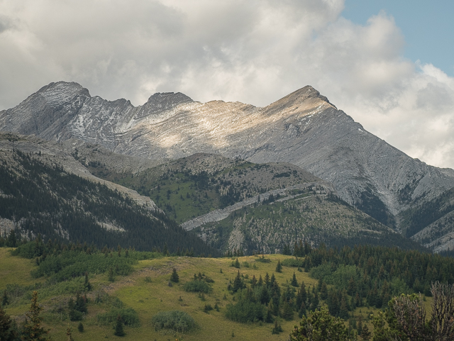
Mount Head to the northwest.
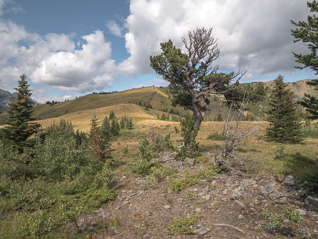
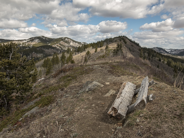
Trees take a beating up here on these wind ravaged slopes.
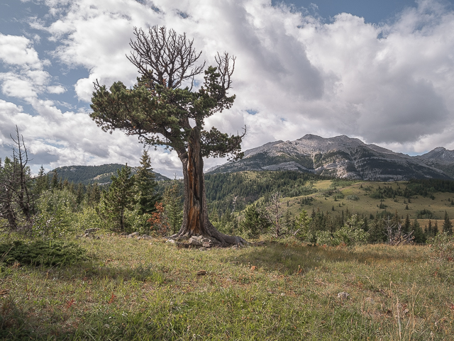
Patterson’s Boundary Pine (not the same one seen above).
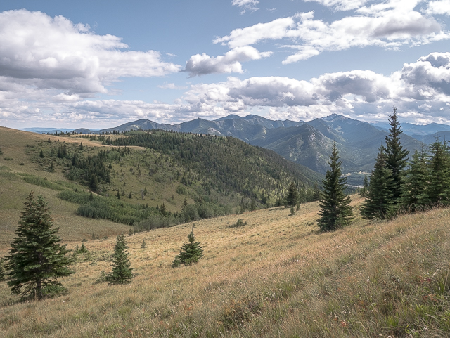
Starting up the ridge and looking back at Fir Creek Point (centre).
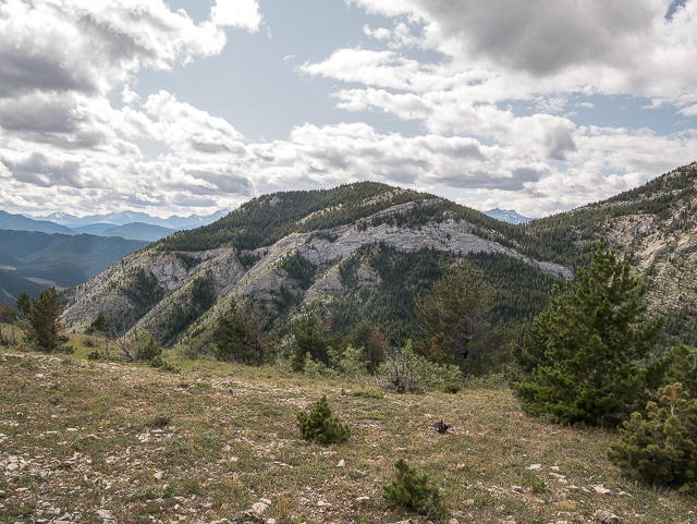
Gunnery Mountain to the west.
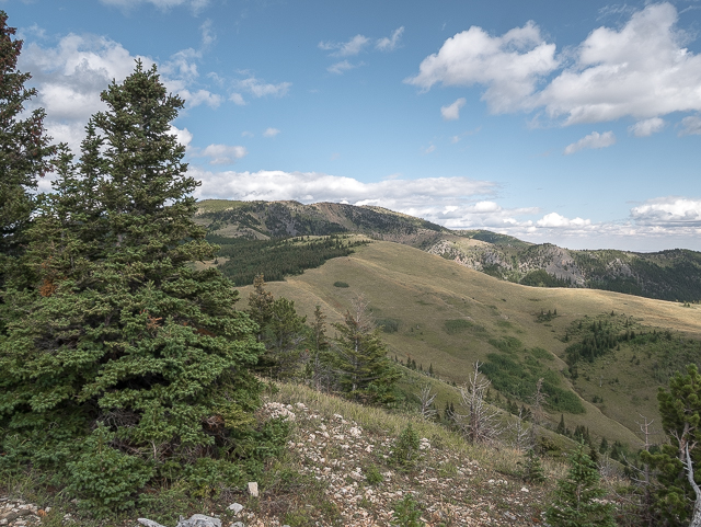
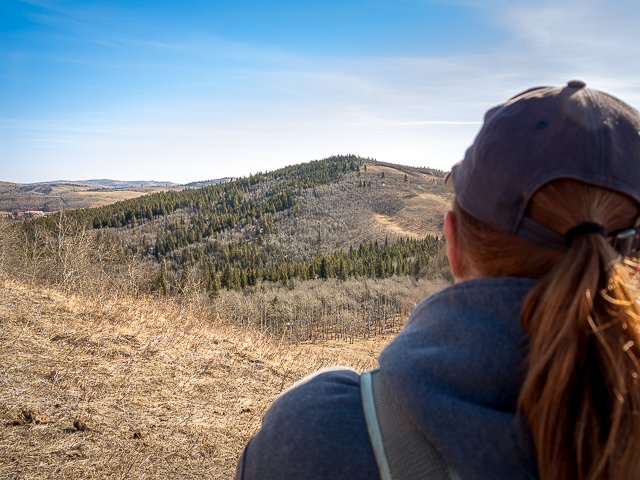
Bull Creek Hills to the east.
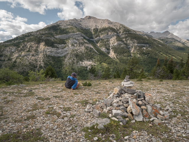
Lounging on the high point and admiring Holy Cross.
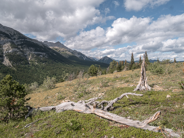
Pointing north.
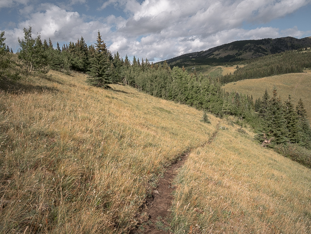
Dropping back down to Grass Pass.
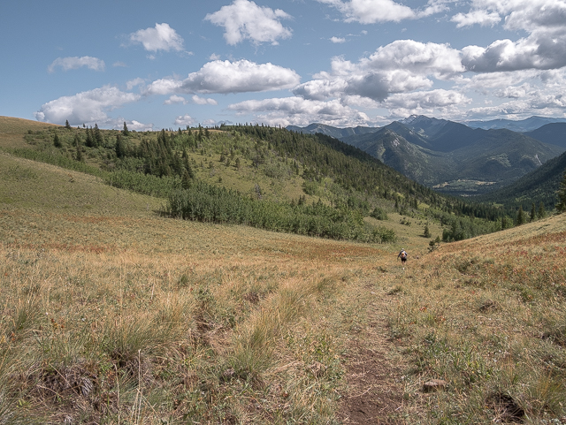
At the pass proper and a further descent ahead.
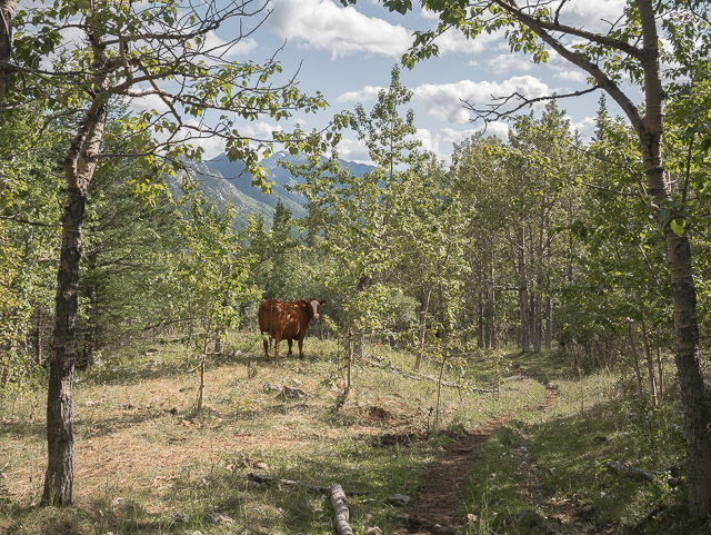
Expect cattle (and their calling cards) on this trail.
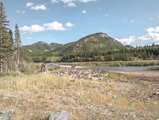
Almost done – Zephyr Creek Hills seen earlier.
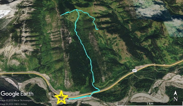
The arrow route – star=Sentinel Day Use parking.



Comments are currently turned off