Kimberley Nature Park Myrtle Mountain
This hike to Myrtle Mountain, in the Kimberley Nature Park Trail Network (Kimberley British Columbia), visits a number of superb viewpoints. Look out over town, the broad Rocky Mountain Trench and up the St Mary’s River Valley – it’s all wonderful scenery.
It’s a fair sized loop with a bit of elevation gain, but it’s done in fits and starts, so doesn’t feel particularity hard. There’s a confusing array of junctions to deal with and while they’re marked with signs, be sure to download the map to your device or get a paper copy so you don’t find yourself in a pickle.
Kimberley Nature Park Myrtle Mountain: a most pleasant hike in an extensive trail network. A Chris & Connie adventure.
Today’s fun begins the Campground Entrance opposite Kimberley Riverside RV Resort, off St Mary’s Lake Road and a little outside Marysville. It’s #5 on the Trail Map. Speaking of maps, there’s one at an info kiosk here at the start and they post trail updates here too.
Now let’s get walking and for the next few kilometres the trail climbs, but the grade is never steep. Start out on Campground Trail, then in a short distance turn left on Jimmy Russell Road. Jimmy was an avid outdoor enthusiast back in the day and these hills were his haunt.
Come to the first of many junctions this day – right is Duck Pond Trail, which could be used as a shortcut when coming off Myrtle Mountain. Use it if you later run out of steam. At one point come to a recently logged area, and at the edge of the block, at a junction, keep to the road. The grade levels out somewhat, and for the next couple clicks the going is real easy. Real pleasant and so peaceful.
Go right at Army Road and continue on through lush Whitetail Valley. This is a trail put in by the military in the 1940s and used to access a shooting range. There’s more junctions along here but the only one of importance this hike is Mountain Mine Road, seen after about a kilometre and a half.
Go right and begin climbing again, at one point steeply, through a dense matchstick forest. The hills around Kimberley held metallic riches (lead, silver and zinc mostly) and were heavily prospected in the late 1800s/early 1900s. The closed Sullivan Mine, in production for almost a century, is legendary and just to the north. Kimberley is a tourist town now, but not that long ago it was mining that drove the local economy.
Myrtle Mountain was explored for its potential and while nothing much was found, evidence of this work is said to be visible in places along the trail. They speak of small excavated pits and the like. We didn’t notice anything, but we are guilty of daydreaming sometimes and perhaps missed the markers.
After a while, a short spur trails leads to Myrtle Mountain Lookout. You’re now atop a rather lowly lump of rock, more befitting of hill status, but there’s still some wonderful views to be had from up this way. Where the trees thin, that is. Here’s a great lunch spot and we soak the scenery while enjoying yummy eats. It’s doesn’t get any better than here and now.
The towns of Kimberley and Marysville (technically part of Kimberley) can be seen below. Then look across to the the mighty Steeples and its tallest mountain, Fisher Peak. The broad expanse below is the Rocky Mountain Trench and is home to the Kootenay River.
We go off trail for a bit to explore the rest of the summit and it’s actually quite broad and rocky but mostly tree covered, so no additional views were had. Kimberley’s original ski hill was somewhere on Myrtle Mountain’s slopes, but that operation is long a memory and now the runs are on North Star Hill nearby.
Some flagging is found and suggests maybe a new connecting trail is being scouted out.
Up to this point, we only saw a couple other trail users, but as we were leaving two large groups headed to where we had just been passed us by. Then it was quiet again and we’d see no one else for the rest of the day.
Back on the trail, it’s a short jaunt to the last junction and from here take the SW Passage Trail straight ahead. It traverses Bump Mountain, looses elevation at a leisurely pace and is always in the trees.
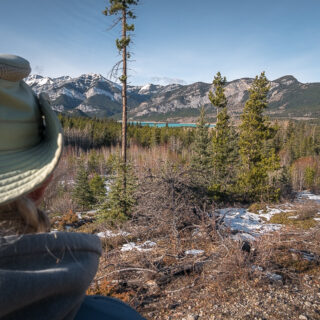
Come to a junction with Skid Road (skidding: a logging term, to drag timber to a loading point) but first, continue on SW Passage for a short distance, then take a marked spur trail (left) to a second spectacular lookout. The views here are best to the south and southwest up the remote St Mary’s River Valley. Grab a bench, enjoy the scenery and you might not want to leave.
Backtrack to the last junction and proceed down on Skid Road.
The trail crosses a boggy area lower down on a boardwalk and then connects with Duck Pond Trail (continue straight ahead). Dropping further, and now trending south, pass a couple side trails, then at a four way junction transfer to Sunflower Road. Note the marked protected wildlife trees along here – dead ones that are home to certain birds.
That shortcut we spoke of earlier (a continuation of Duck Pond Trail) drops down steeply to Jimmy Russell Road, where it’s an easy jaunt back to your car if want to end the adventure sooner. Sunflower Hill has a lot to offer, however, so stick it out of you can. It’s only a couple clicks more and the first half flat and then it’s mostly downhill from there.
There’s nice views all along the way and after a bit, double back to start the final descent. The hillside is sparsely treed, grassy and at certain times of the year, its slopes are blanketed with flowers. From the Kimberley Nature Park Society guide: “In May there is a profusion of yellow Balsamroot flowers (a member of the Sunflower family) on the hillside that photographers will not want to miss.”
By our standards, this was not a big hike, but normal is out the window these days. With Connie’s health issues, it took all she had to see it to completion. A celebratory photo rounds out our presentation and at this point, trailhead parking is just a short distance away. Cheer her on!
Drop down to Jimmy Russell Road, head up it a bit (the last elevation to end the day), then make a left on Campground Trail. Then it’s over and you know, that’s always bummer.
We’ve done a couple hikes in Kimberley Nature Park now and really enjoyed each one. There’s so much variety, diversity and a million different possible routes, so the fun can go on almost forever. We’ll be back next time we’re in the area and already planning our routes.
Know more (new window): Kimberley Nature Park Trails
They’re saying…
A true “Rare Hidden Gem!” Ian Thomas McAlpine Paterson.
Out that way…
The Bee Line Cranbrook BC.
Mother’s Day Hill (East Kootenay BC).
Rampart – Isadore Loop (Cranbrook BC).
If you wish more information about this route or if you love to chat don’t hesitate to contact us!
Date of adventure: September, 2022.
Location: Kimberley, British Columbia.
Distance: 13km loop.
Height gain maximum: 390m.
Height gain cumulative: 420m-ish
NOTE: all distances and heights are approximate and may differ slightly from other trip reports (including our own).
Reference: Kimberley Nature Park Society.
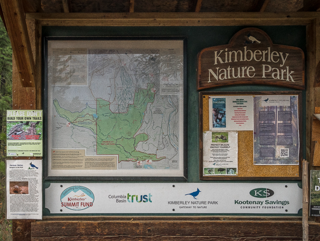
At Kimberley Nature Park, Kimberley BC – St Mary’s Lake Rd entrance.
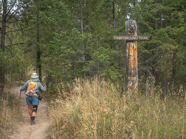
The fun begins on Campground Trail.
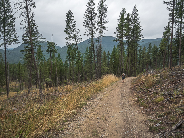
Signs of logging on Jimmy Russell Road.
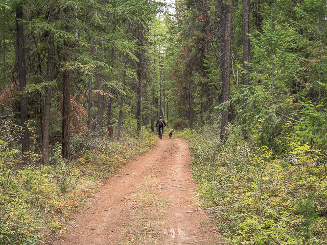
A biker passes, but we mostly had the trails to ourselves.
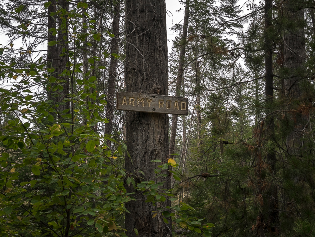
There’s plenty of signage to help you along.
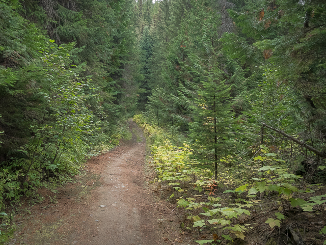
This Army Road section visits a lush valley.
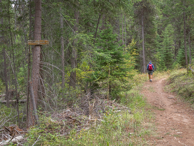
Mountain Mine Road is next.
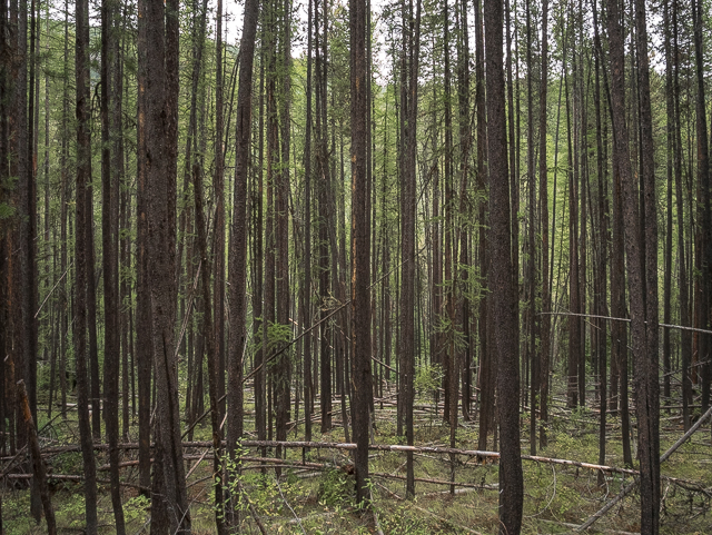
A dense matchstick forest.
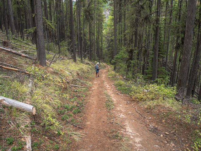
A steep section.
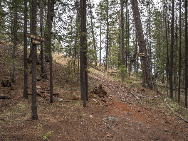
A spur trail (left) leads to Myrtle Mountain Lookout.
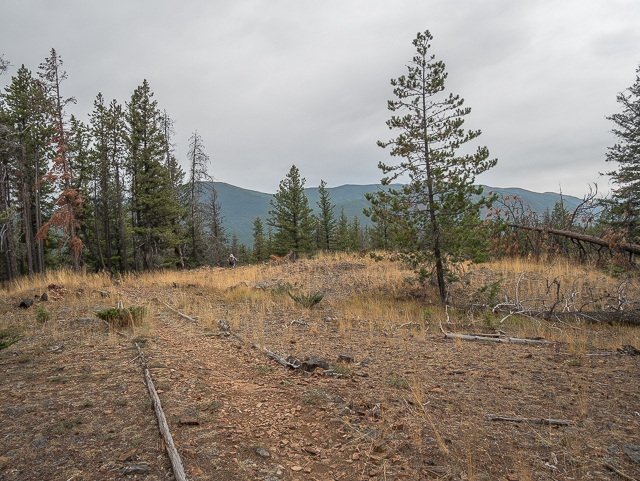
Almost there.
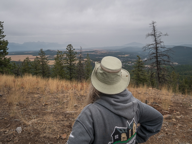
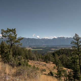
Looking out over the Rocky Mountain Trench.
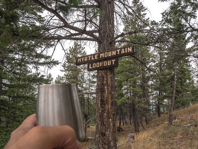
A toast @ Myrtle Mountain Lookout!
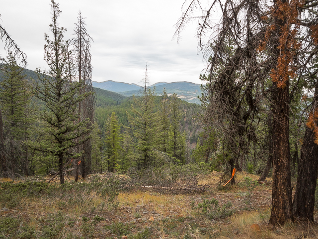
Going off trail to get this north view – note flagging.
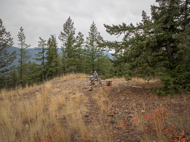
Back at the lookout.
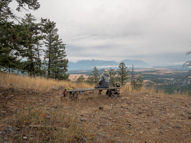
A long wall of rock called the Steeples is seen in back.
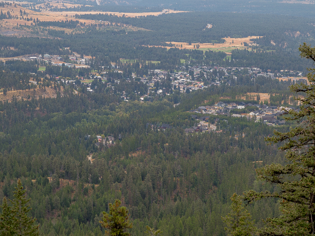
The community of Marysville below.
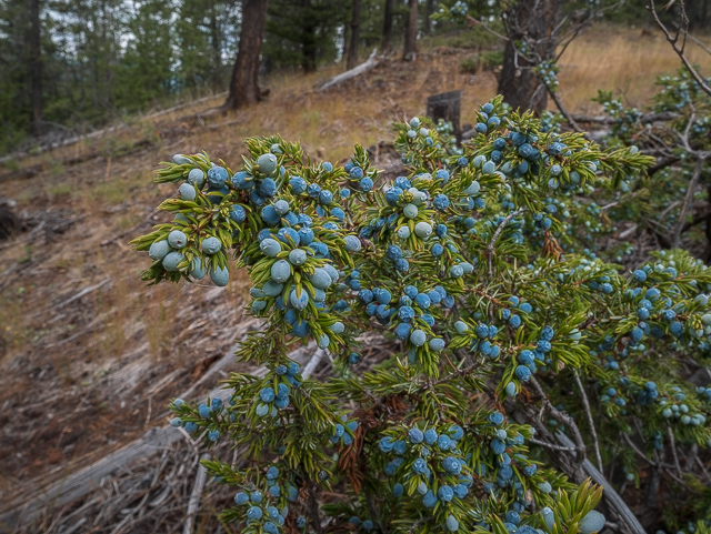
The Juniper crop is a good one.
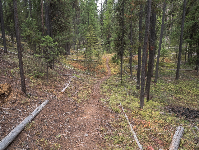
Descending on SW Passage.
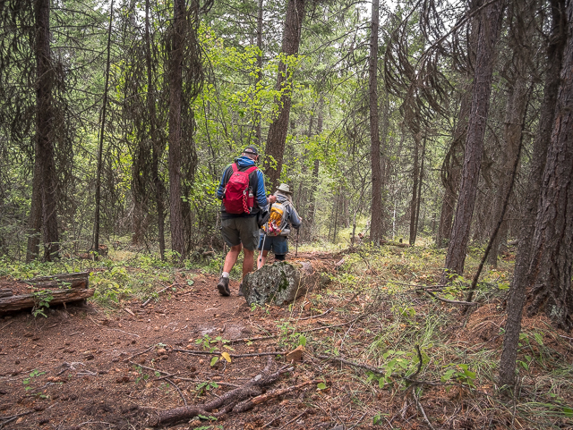
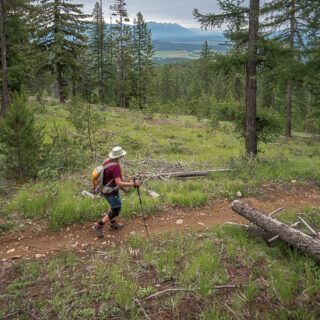
Pleasant hiking in the woods.
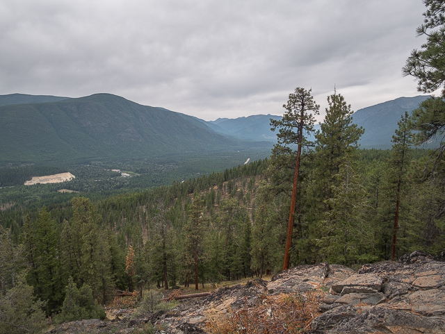
A side trail on the way down takes one to another lookout.
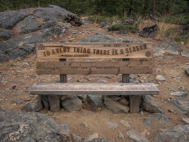
To every thing there is a season…
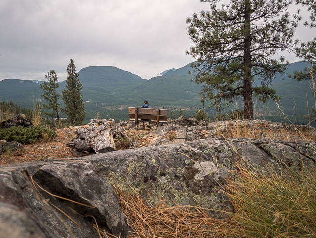
Soaking up the views – pointing south here.
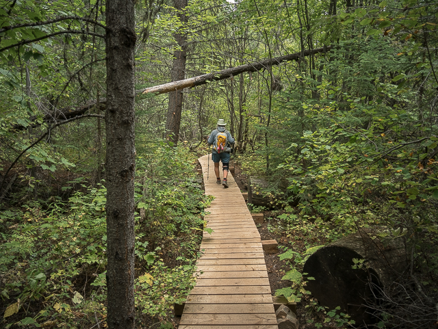
A boardwalk on Skid Road.
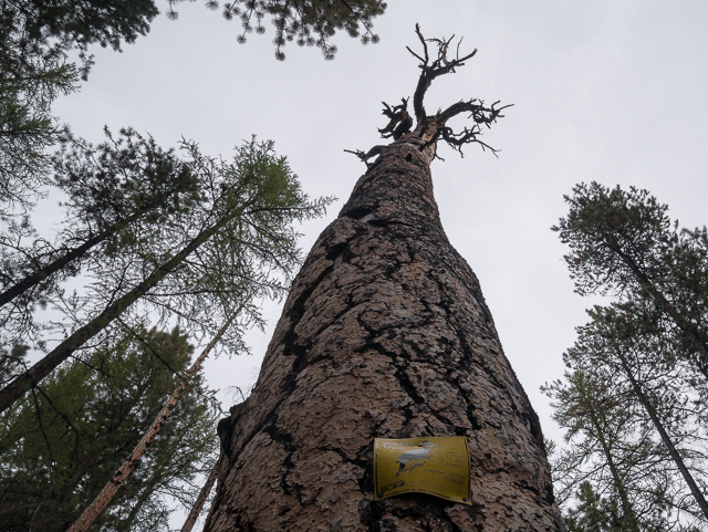
A protected Wildlife Tree.
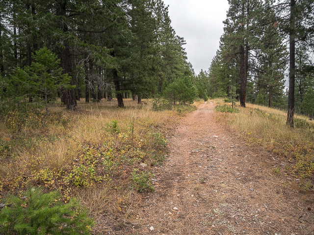
Easy and flat – Sunflower Road.
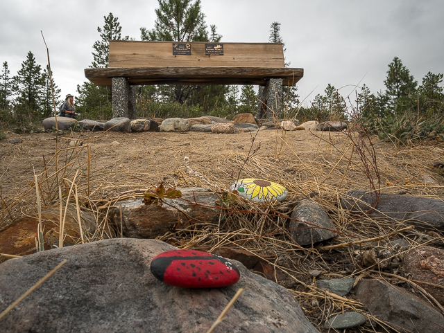
A little rest stop.
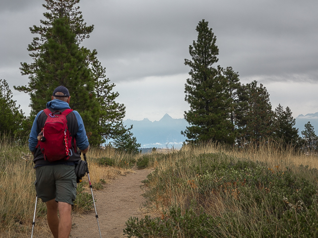
Fisher Peak centre.
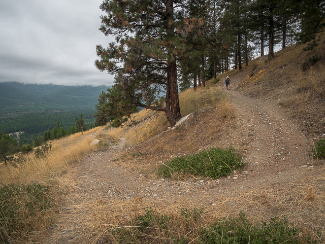
A sharp bend on the drop down.
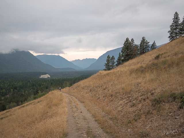
Looking west into the remote St Mary’s River Valley.
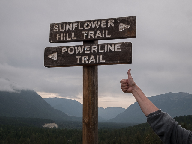
Almost done and Connie’s rightfully a proud hiker.
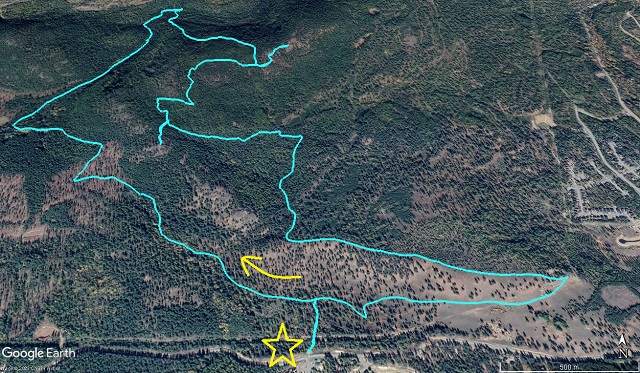
It’s a pleasant loop – spurs mark lookout points.




Comments are currently turned off