Rainy Summit Ridge to Sunrise Hill
Depending on the write up you might see it called Sunrise Hill, Rainy Summit Overlook or maybe both will be used (like here). It’s an outlier of long Powderface Ridge and can be reached in one of two ways. The first is via a side-path off the popular and aptly named Powderface Ridge Trail or you can get to it by the less busy, shorter and fun route presented here that takes in Rainy Summit Ridge.
Whatever the moniker, it’s an easy and sweet hike to a wonderful viewpoint in the Front Ranges of the Rockies west of Calgary. Ahead, there’s an interesting trail and not long after starting, you’ll be rewarded with amazing views.
Rainy Summit Ridge to Sunrise Hill: short, fun, steep at times and the wonderful scenery is the cherry on top. A Chris & Connie adventure.
Other than at the beginning, it’s a steady push up to the top the entire time, with only one or two flat sections along the way. There’s some stuff to be mindful of, the ankle-twisting rocky spine and some steep, loose stuff very near the summit. A tumble on either is a definite possibility and likely to be bad news, so be cautious.
It begins at the Rainy Summit pullout on Highway #66 west of Calgary – there’s a large info sign here about timber harvesting. This is about where the highway tops out before dropping down to the Elbow River. In the warmer months cattle free roam the area, and year round it’s also home to many feral horses. Look for either of their calling cards underfoot.
The horses gave their name to the Mustang Hills on the opposite side of the highway.
Fall in Kananaskis can be spectacular and this is a good time to tackle Rainy Summit Ridge. Those glorious colours marking the end of the season are always too fleeting but stunning while they last. It was somewhat hazy on our visit but this didn’t really ruin things.
Cross the meadow, and on the right side find a former logging road heading into the trees. The going is easy and quick along here. Take the first left on a second road, and follow it till it bends around and dead-ends. Continue on the single-track afterwards and soon the climbing begins.
The rocky spine, seen in a bit, adds an interesting element to the hike and it comes to quite a sharp point in places. Careful and deliberate placement of steps is a serious consideration. Along here the trees thin at times and with that comes the first views of the day. It seems a good amount of elevation has already been gained at this point, but there’s more to come.
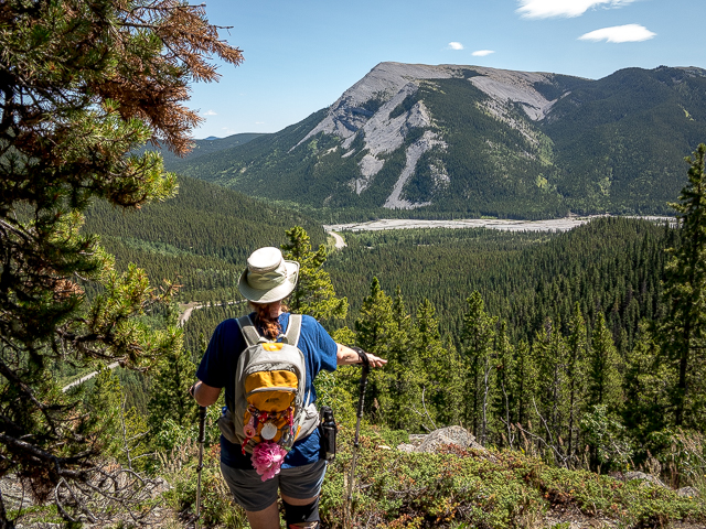
Arrive at a meadow, climb up in the trees once again and top out at the first lookout. It’s flat, mostly open area and we understand that many people make this their objective. Admire ForgetMeNot Ridge and Mountain to the right, the Elbow River flats and rolling hills to the south and Îyarhe Îpan far left. Up higher they look even more awesome.
To the west and a bit above is today’s goal, Sunrise Hill/Rainy Summit Overlook. It’s not far but it’s still a bit of a climb and ahead comes the steepest part of the trail.
Drop down briefly and then tackle the slope head on. The trail takes a pretty direct line and is soon out of the trees. A few more grunts and the summit is reached. It’s truly spectacular up here and the views much more broad and encompassing than the first viewpoint which is seen directly below.
Look west to Mount Glasgow, Mount Cornwall and Banded Peak. See the Big and Little Elbow Rivers join right beside sparkling ForgetMeNot Pond. That long treed mass to the west is Powderface Ridge and it extends north for quite some distance. It’s a fine objective too and there’s some fun to be had exploring its open summit (not seen from this angle).
To the east there’s a barren peak called Moose Mountain and to its right Prairie Mountain. Both are popular hiking destinations and as you can see we’ve visited both. The view south is all the better at this higher elevation and Mt Quirk off in the distance is the biggest mass in that direction. There’s patches of brilliant yellow below (if done in fall) and you can even see where you parked. Hey, there’s the might BIGDoer-mobile!
If you look down in the draw to the west of and below Sunrise Hill/Rainy Summit Overlook you can see the trail to Powderface Ridge. We spot a few people hiking it but none did the side trip to our location, so it was all ours.
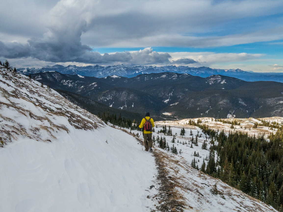
Soak up some of that Kananaskis vibe and when full, return via the same route. But take time to stop and admire the scenery along the way, when you can. Leaving is the hardest part and the descent is always a bit of a downer (literally and figuratively).
The Rainy Summit Ridge trail was pretty quiet on our visit and we only passed a couple other hikers. This was actually a Chris solo outing, but Connie’s always along in spirit even when she’s at work. Hence the use of us, we and our, which is done out of habit I guess.
The horses and their cow companions had moved on by the time this adventure ended. Seems they all went home and it looks like that is our destiny too. Turn around around and take one last look up at the summit that not all that long ago, you were standing atop.
What an awesome time!
Know more about the trail (new window): Rainy Summit Ridge to Sunrise Hill.
They’re saying…
”Relevant, authentic, real!” David W Brandenburg.
More short ones…
Devil’s Hole (East Kootenay BC).
Mesa Butte (The Grind).
Ford Knoll Loop.
If you wish more information about this trail or if you love to chat don’t hesitate to contact us!
Date of adventure: October, 2022.
Location: Kananaskis Elbow River area.
Distance: 5km round trip total.
Height gain maximum: 410m
Height gain cumulative: 430m
NOTE: all distances and heights are approximate and may differ slightly from other trip reports (including our own).
Technical stuff and notes: some rocky and steep, loose sections.
Reference: Kananaskis Trail Guides by the Dafferns.
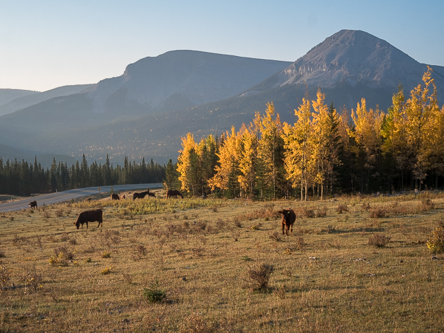
It begins! Free range cattle mixed with wild horses back there.
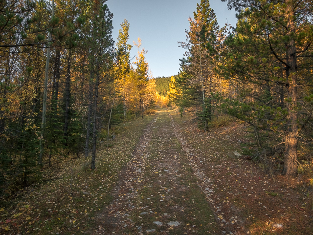
The Rainy Summit Ridge trail initially follows an old road.
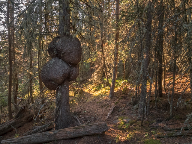
One giant burl.
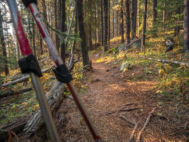
The trail is now singletrack.
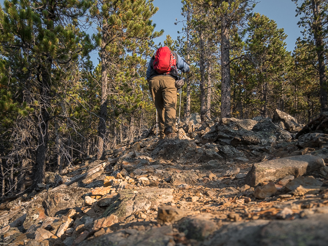
On the rocky spine.
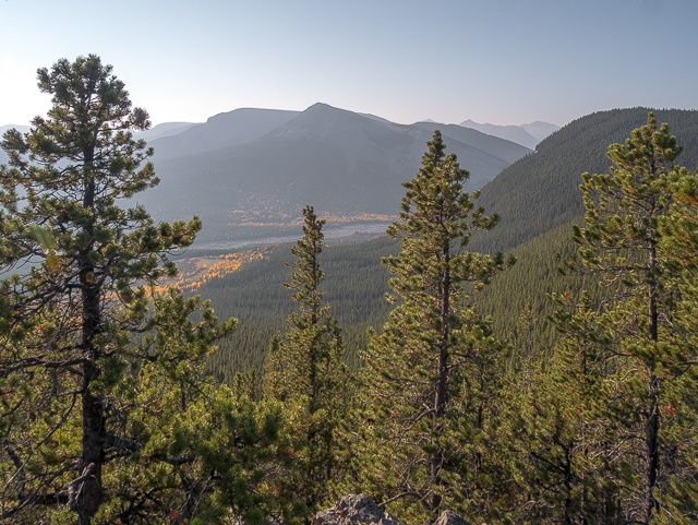
Where the trees thin – Forgetmenot Ridge and Mountain in back.
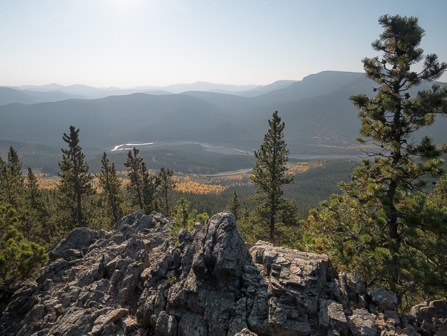
Rolling hills to the south on a hazy day.
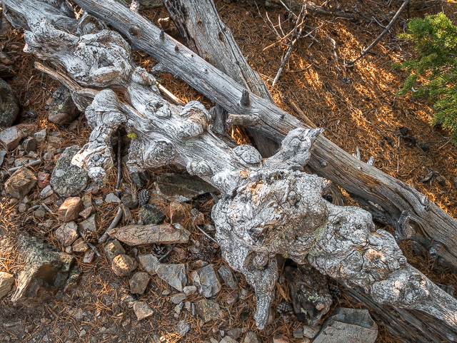
Weathered by time and the elements.
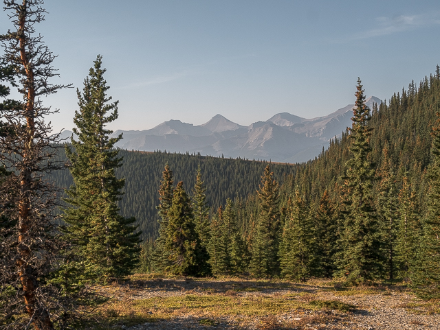
At the first viewpoint where many people turn back – looking west-ish.
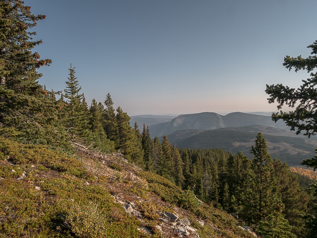
Îyarhe Îpan in back.
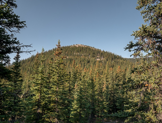
Sunrise Hill proper (aka Rainy Summit Overlook).
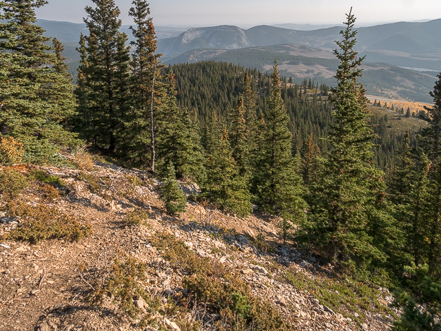
The trail here is steep and loose.
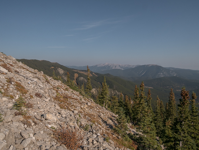
Looking east – Powderface Ridge left.
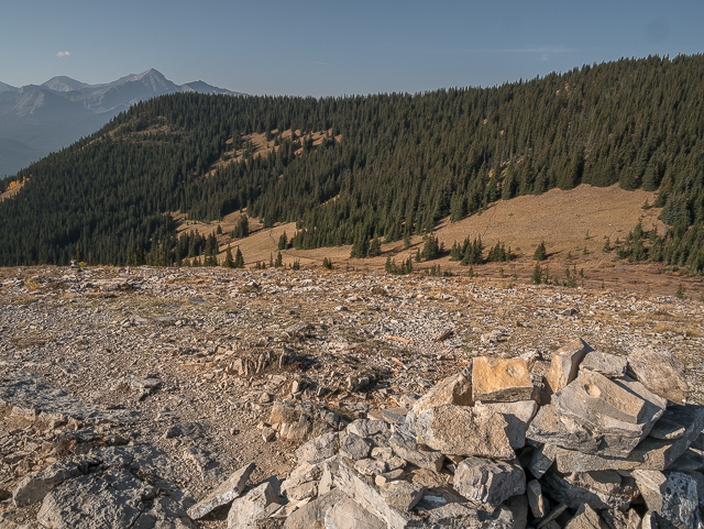
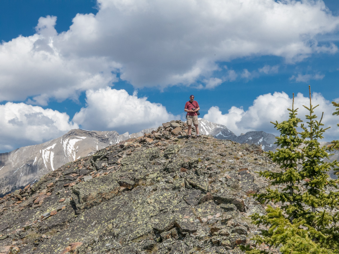
On top! That’s the south end of Powderface Ridge.
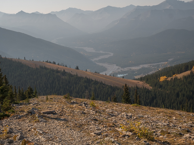
The Big and Little Elbow Rivers meet by Forgetmenot Pond.
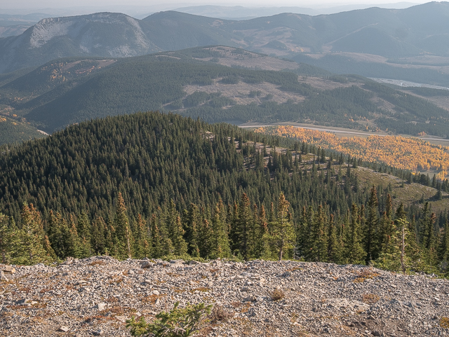
The first viewpoint is seen directly below.
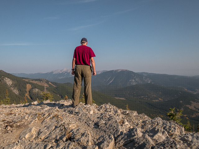
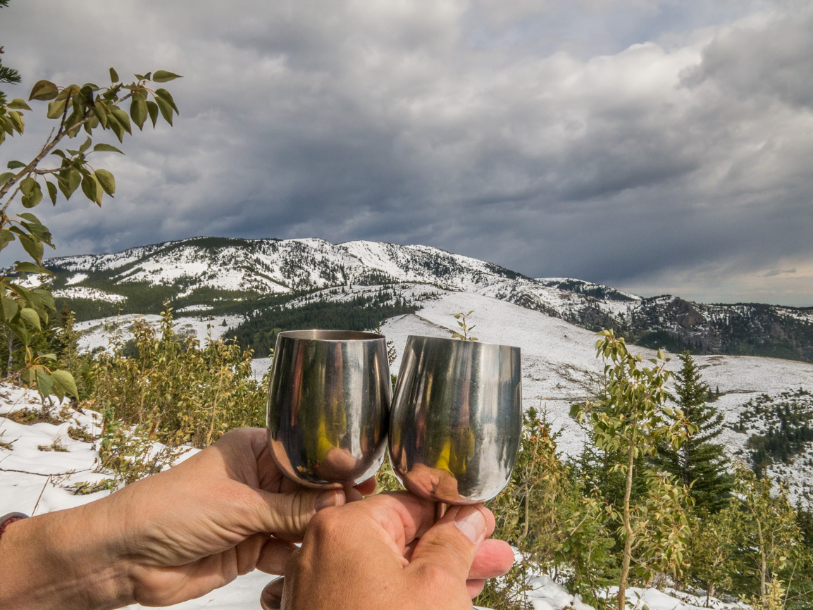
Soaking up that Kananaskis vibe – Prairie Mountain back right.
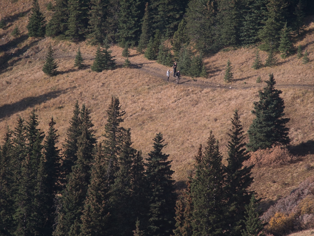
People on Powderface Ridge Trail.
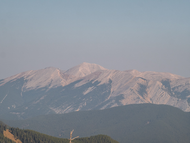
Moose Mountain.
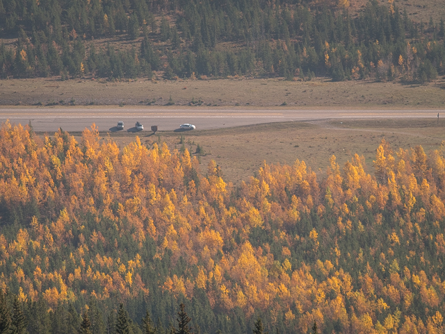
The Mighty BIGDoer-mobile can be seen down there.
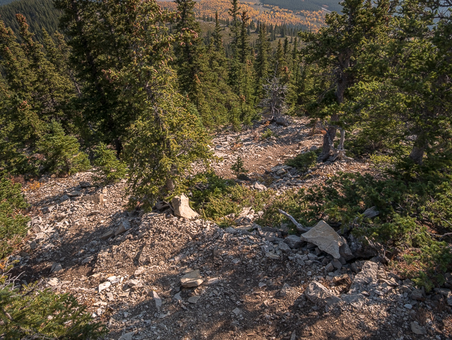
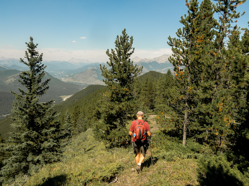
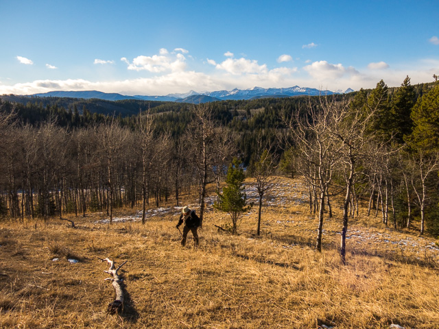
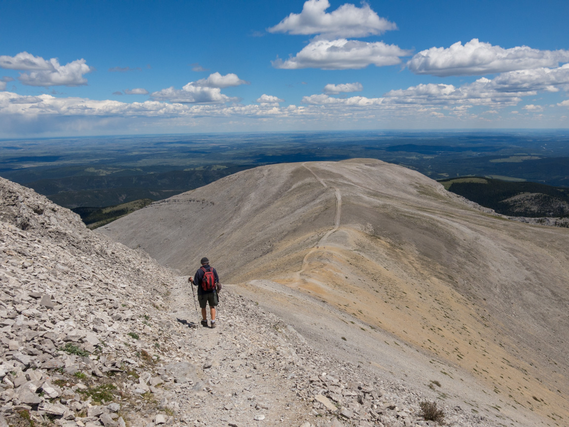
Carefully making the descent.
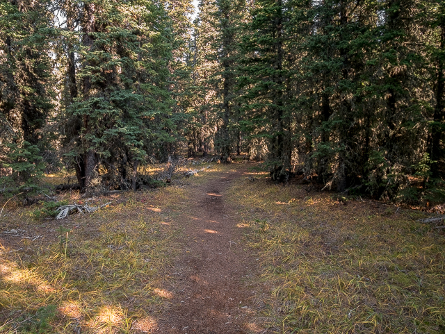
A brief flat section.
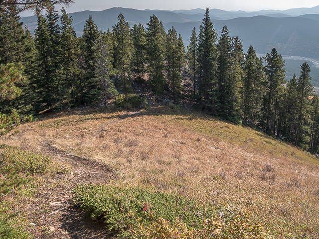
Back into the trees.
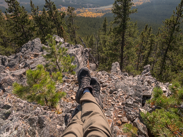
You gotta stop and admire the scenery.
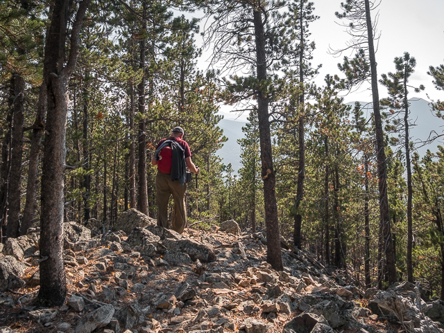
A bit of care is needed along this section.
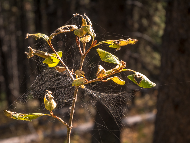
Interestingly lit.
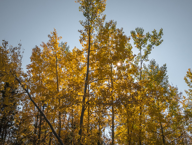
Fall in Kananaskis is always spectacular.
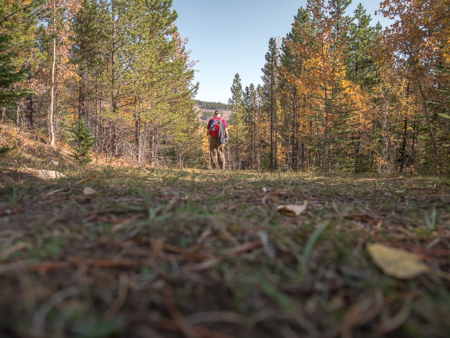
Back on the old road and almost done.
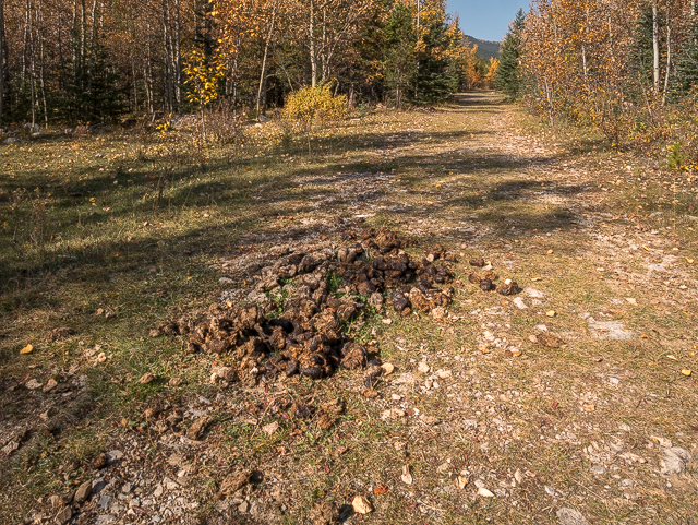
They’ve left their calling cards.
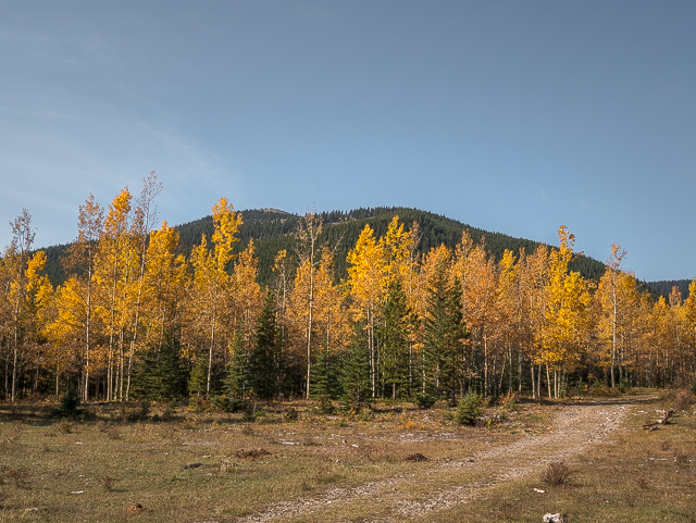
Looking back at Sunrise Hill/Rainy Summit Overlook.
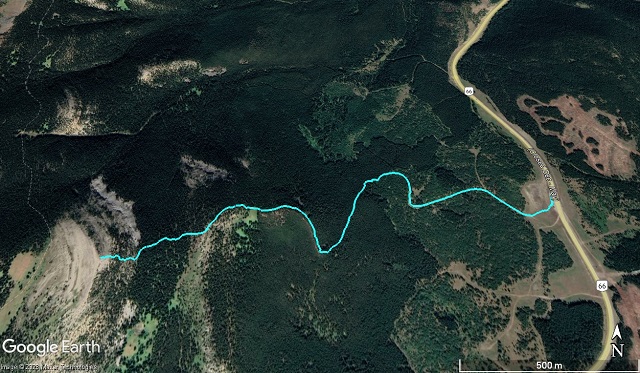
A short but sweet hike.



Comments are currently turned off