CPR Bow River Bridge (Abandoned)
It happened on a gloomy day, overcast and blustery, but challenging conditions be damned. Adventure calls and even biting, wind driven sleet unable to put a damper on the fun. Appearances suggest there’s little to see out this way, but sometimes things are hidden and need searching out. Our subject, an abandoned bridge over the Bow River, is a biggie and you think would be impossible to miss, but given the out of the way location, rarely seen.
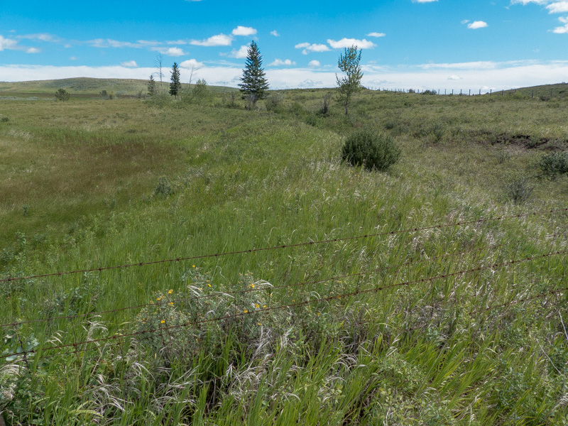
The immediate area is arid, mostly uninhabited and mercilessly unforgiving. Cultivated farming only happens where there’s water but mostly it’s endless pasture or natural grassland. Rain is the exception here and only native grasses tolerate such harsh conditions. As far as the eye can see, there’s few signs of people and not a single tree in view. Out of the way places are thing for us (hence our tag-line) but even by our standards, it’s the boondocks. Might as as well stand on the moon.
Abandoned Bow River Bridge (CPR): A silent sentinel in a lonely and remote setting. Pop history by Chris Doering & Connie Biggart (BIGDoer/Synd).
Be like Gary…
This is a lengthy post, so grab a cup, sit back and waste a little time here with us. The bridge is on grazing land (not a public area) and first visited by the Team way back in 2012. We’ve been itching to return ever since and late last year it happened. This post takes info from that earlier foray, adds recent photos, updated data, ties in with other articles we’ve done on the subject, then wraps it up into one tidy package. Those older posts will then get retired and redirects put in place.
The bridge sits along a former prairie branch line belonging to the Canadian Pacific Railway and its Suffield Subdivision opened in 1913. It and the connecting Lomond Subdivision comprised a long meandering ribbon of steel going nowhere in particular. With trunk connections at each end, trains from either direction generally served their respective subs and met operationally in the middle.
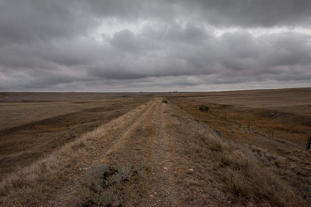
The walk in along the old roadbed.
While the western section came later (completed 1925-1930 period) it tended to originate more traffic as well. There’s less arid land out that way with more people and simply more going on.
Still, the CPR had high aspirations for the area around here, but success conditional at best. First came the trains and concurrently canals for irrigation and then came the people. Throngs of people…and success to follow. Only the railway saw completion and with no life giving water, settlement in the area never on the scale imagined. The region north of the Bow River remained dry, unpopulated and it’s not all that different today.
The scheme to build a canal failed part way in and the project never unfinished. Sections remain and are seen here: Wet Dreams.
Building this branch was a costly endeavour but failed settlement plans meant it often hosted only short and infrequent trains. Still the line lasted sixty years or so. Research suggests the railway would have rid itself of this money loser earlier, had regulations allowed, but government red tape made that near impossible. That they still allowed at this date paints a bleak picture of traffic, so even the powers that be had to concede and make an exception.
Most of the time a mixed train, two runs per week hauling both freight and passengers, provided service. That lasted on the Suffield Subdivision until 1958 and afterwards it became freight only. Additionally, pure freights at the busiest of times and independent of the mixed also ran. But not often.
The last few decades service along this section was even more sporadic and on an as-needed basis. A few grain cars and that’s about it. A single grain elevator comprised the only customer along this stretch for a time and by the records not a particularly big shipper. The dry conditions meant crops were hit and miss, the few being grown, so often no grain moved at all.
Other portions of the Suffield Subdivision further west had a higher ratio of business, but they found service via the Lomond Subdivision worked well enough. So this section devoid of traffic fell from use. By 1973 the last online customer was done but somehow this stretch remained in use into 1977, albeit with even more reduced service. Research suggests only one or two trains traversed the line the last full year in operation.
The former “town” of Cecil Alberta was just up the tracks but there’s little to see today. Never much there anyway: a grain elevator, a house or two and there you go. We visited and noted a foundation and some scattered bits only.
The town rates mention in old CPR timetable, as a flag stop*, but few folks came and went from here. Fares from Cecil to Suffield along the CPR mainline were 90 cents and the ride taking almost two hours to travel 42 kilometres. That’s a long and slooooow journey indeed! From there one could transfer to a mainline train heading to Calgary in the west, Medicine Hat in the east or other, more distant points.
One can call up Cecil on Google Maps but all you’ll see is an empty pasture.
There’s evidence of a turning wye between Cecil and the bridge. It’s an arrangement of tracks in the form of the letter Y that allow locomotives or equipment to be turned. That’s the case here and in other applications they could function as junctions on converging lines, allowing transfer from any one to any other, independent the direction of travel.
This wye dates from 1947 and this spot temporarily made end of track during bridge repairs. It allowed locomotives pulling work trains to spin around so they return the way they came and remained in used until work was completed. That spring heavy ice build up in the Bow River caused sections of the structure to shift, buckle and tumble into the water below. Then the work crews came and their equipment. For a time, this middle-of-nowhere location hummed with activity.
Damage and repair.
Below, it’s photos showing the damaged structure and it later while under repair. They’re from two different sources. The first comes thanks to the Douglas R Phillips collection and courtesy Brian Hodgkins. They show thick and heavy ice build up post damage.
The worst portion of the bridge is on the north half and while other sections appear unscathed in the pictures, it’s likely some shifting occurred there as well. Not only would the mangled portions need repair, but the entire structure would require a thorough inspection from top to bottom.
These images demonstrate Mother Nature’s wrath and even though the Bow River is shallow here and slow, it’s still able to pack a wallop on occasion.
The next set are courtesy of Larry Buchan, ex-CPR guy and a dear friend who passed away a few years back. They are also used with permission and taken by his friend and former railway employee Floyd Yeats. Floyd documented it during repairs and the photos show work underway. He also authored the book “Canadian Pacific’s Big Hill” (1985).
The structure remained out of use for about a year and any customers on the far side, served via a round-about way via the Lomond Subdivision. That’s a foreshadowing of things to come and later it would reflect normal operations.
By this date this section of line had minimal traffic and it’s pretty certain the CPR displeased on having to spend money like this. None the less they were obligated, but likely did so begrudgingly. The line would struggle on for another thirty years before the railway received the approval to pull out. With that the least used section, Suffield to Hays, was abandoned.
Many Yeats’ photos afford a good view of how they went about fixing the structure and the machinery used. A big crane is noted down at river level next to an interim bridge which gave access to the piers, footings and lower steel work.
Many boxcars are seen on the north side of the bridge and these brought in the materials and supplies needed. The railway put in a few temporary sidings to hold the cars in addition to the wye spoken of earlier.
A gravel processing plant was employed here and judging by the photos kept busy. Gravel came from the immediate area and the land nearby still bears scars today. You can see where the scrapers were put to work and dug shallow, parallel throughs.
Note the formwork used to make the new piers. In an old photo (not in shareable form) it shows the bridge under construction about 1912 and they were in a different style than present day. Formerly they had one footing per leg (also seen in some repair photos) verses two per on a longer footing afterwards (mostly). Also the new footings show as taller and the legs as a result shorter.
It would appear that work proceeded almost exclusively from the north side. This makes sense since access to materials and machinery would be more direct from this position. The CPR mainline is not terribly far away and as conduit for everything needed, advantageous due to its proximity. In contrast, from supply point of view, coming from the west demanded a long and drawn out journey.
Still, there’s clear evidence on the satellite view of diggings next to the track on the far shore. The resultant material may have been for fill on that end and perhaps connected to bridge repairs in some way.
It’s not said how much original steelwork got reused or how much new. Clearly some pieces were too bent and twisted to be salvaged, but others appear fine, so a little of both perhaps.
Arrival.
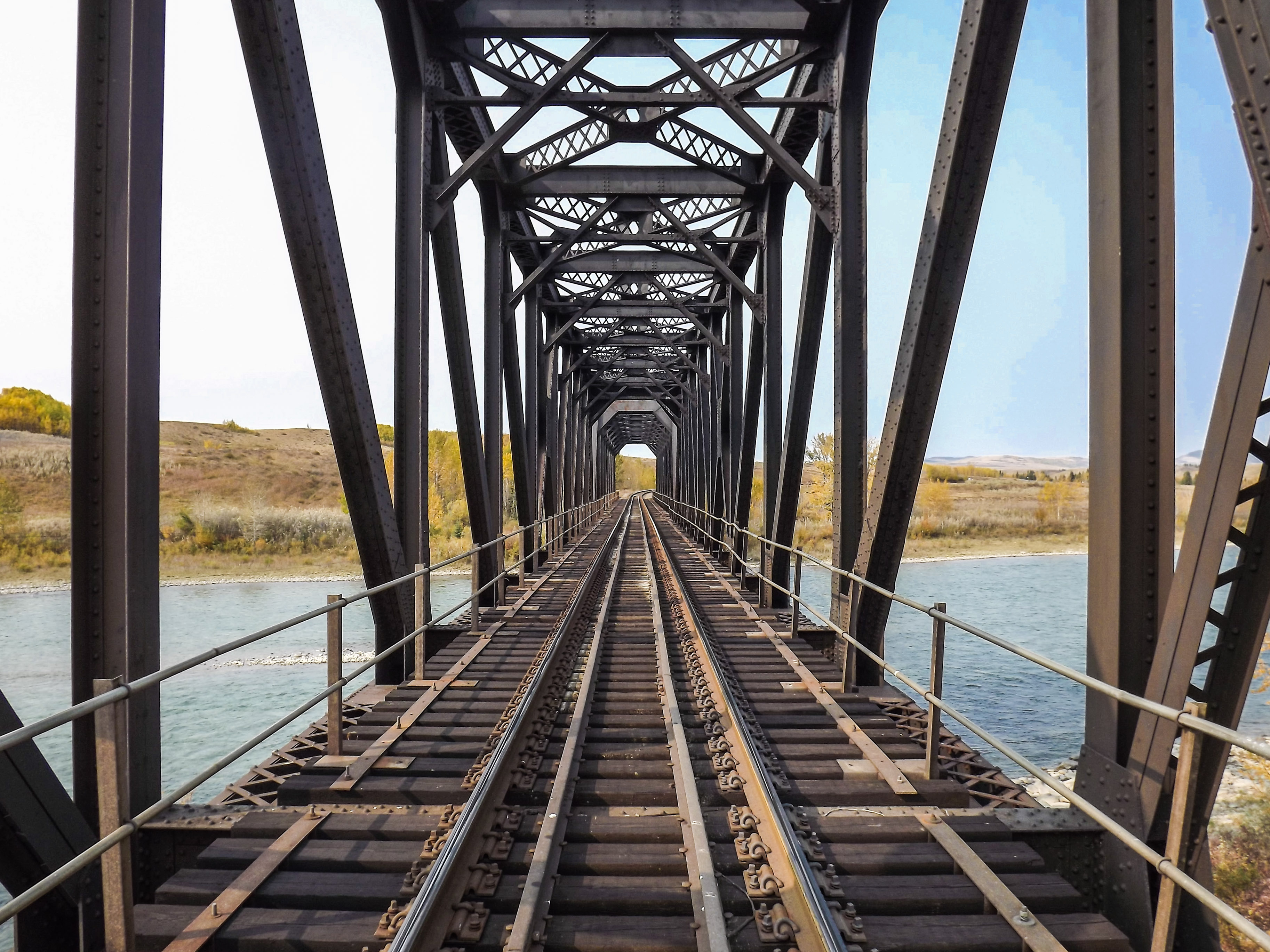
Soon the structure comes in view and a wonderful, graceful piece of engineering to behold. In spite of being abandoned for some time it’s by all appearances in decent condition. By line of sight it looks true and straight with no evidence of later damage from subsequent ice flows or even the legendary 2013 floods. The Bow River overflowed its banks, and then some, further upstream that year. Perhaps this far removed it became more easy going. It’s quite placid once out here on the prairies.
A portion of bridge deck was removed to prevent access and this a good idea considering how dangerous it could be. Not that many people visit the structure, but no point taking chance that someone gets the smart idea to cross. While it doesn’t look terribly high in pictures, there’s a long drop to the river below and a fall would be disastrous.
A crossmember off the first pier is missing and another cut, but for reason’s unknown. You’ll note several small platforms at intervals on the bridge and these once held water barrels. In the odd chance a spark from a passing train landed on the wooden parts crews could pull from these and dowse any smoldering embers. While it’s mostly steel, there’s enough burnable stuff to make a mess should a fire happen.
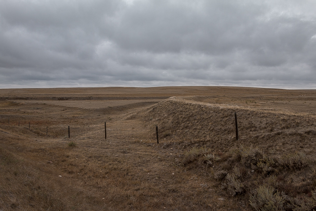
One leg of a turning wye put in during bridge repairs.
Much time is spent examining the structure from deck level and below. The steelwork is pure function yet not without its own beauty and a touch of elegance. Imprints from individual boards used in the very formwork seen in the old photos have been preserved for all time. One after the other, the timbers were stacked until the proper height. The Bow River is so tranquil and serene out this way. Yup, it’s a magical spot and made all the more interesting given the history. Obscure history and that’s our favourite.
Not a single person was seen on our visit but that’s not surprising give the rather out of the way location. Some old fences, a couple farms far in the distance on the opposite bank of the Bow River and the railway remains documented here are the only indicators of human activity. It’s a totally lonely place – back when the bridge was new, at any point since and no different now.
*Terminology.
A flag stop is an infrequently used station or siding and serviced on an as-needed basis. When requesting pickup from one need wave a supplied flag, a piece of clothing, or even their arms to signal crews to stop.
Flag stop stations were small bus shelter type buildings, a simple platform, or even any level spot by the tracks sans any structure at all. When trains pass a flag stop they do so at reduced speed and in preparation of a pickup. On some routes a flag stop could happen anywhere but usually were at set locations.
Know more about beleaguered prairie branch lines (new window): Abandoned Prairie Branchlines.
They’re saying…
“Thank you for all the engaging write ups and pictures…you two are a national treasure!” Bonnie & Gerald McDonald.
The theme is…
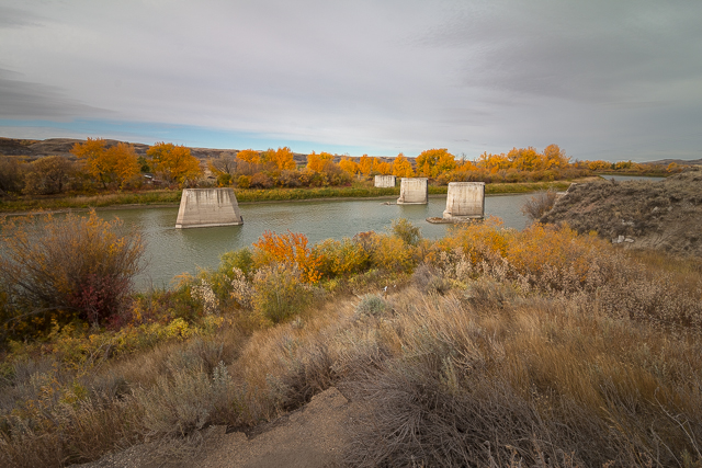
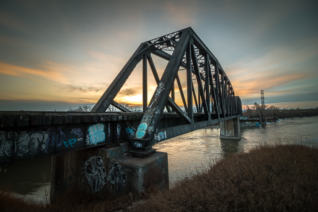
Blue Bridge to Nowhere.
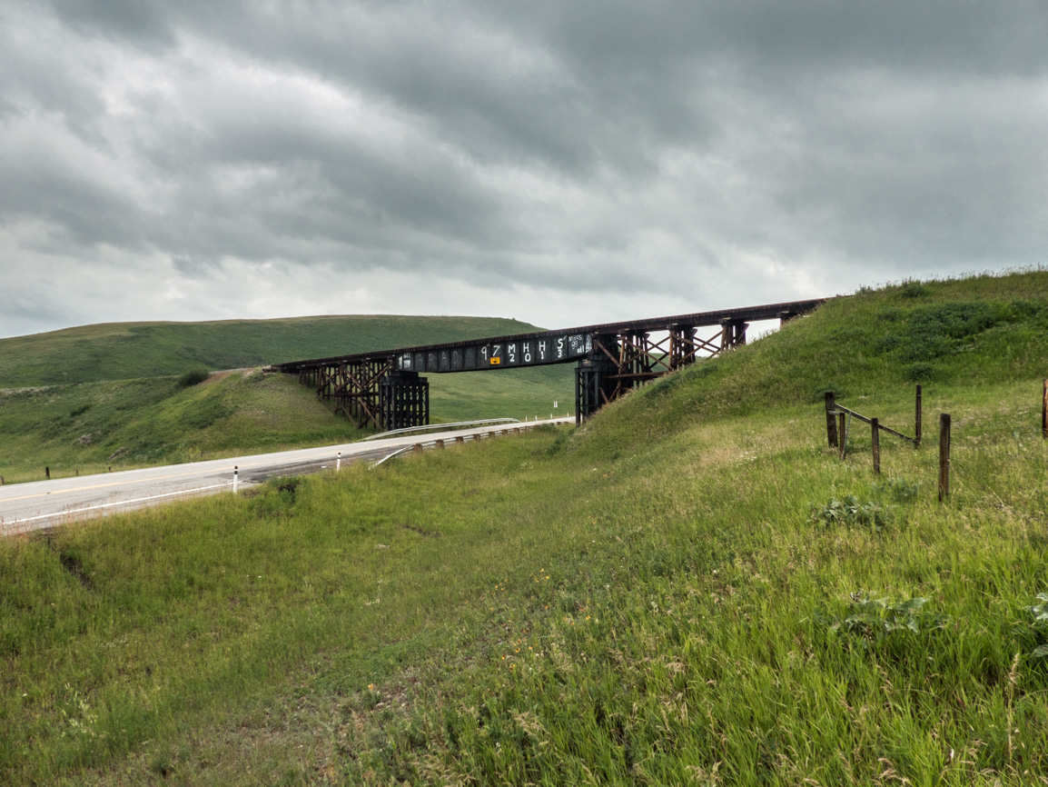
Bridges of Cambria.
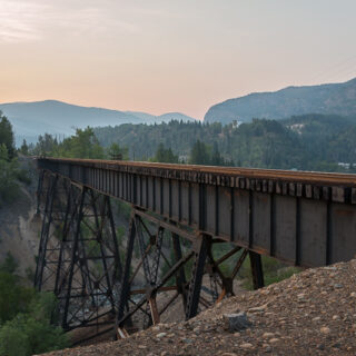
Canmore “Engine” Bridge.
If you wish more information on what’s seen here, don’t hesitate to: contact us!
Date of Adventure: October, 2023.
Location(s): Along the Bow River, AB.
Article references and thanks: Larry Buchan, Brian Hodgkins, author Geoffrey Lester, dated photos from the UofC Archives and the book – From Sod to Silver.
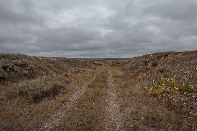
Through a cut.
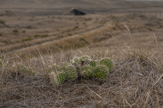
Prickly stuff underfoot as the bridge comes into view.
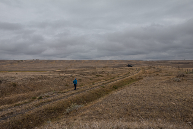
Lonely, remote and fabulous.
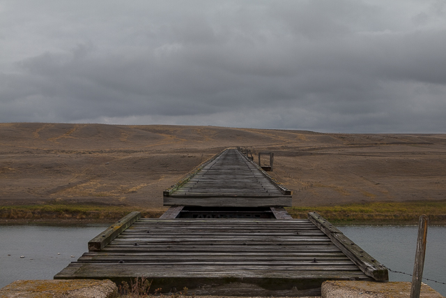
Built 1913 and abandoned just over sixty years later.
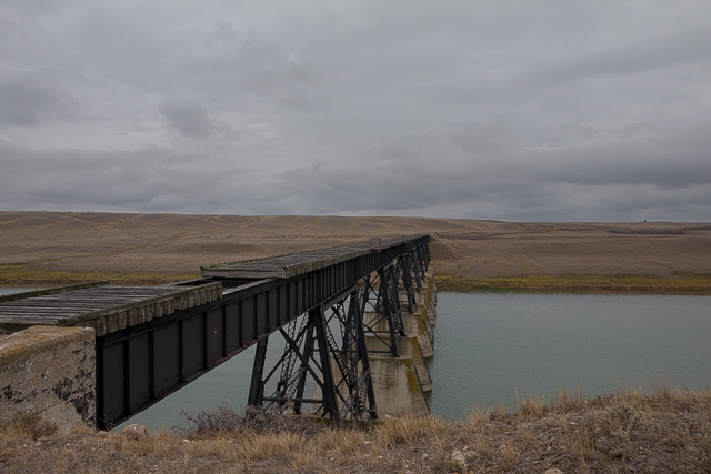
Deck section is removed to prevent use.
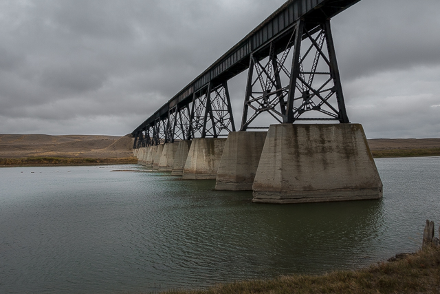
It’s equally impressive down at water level.
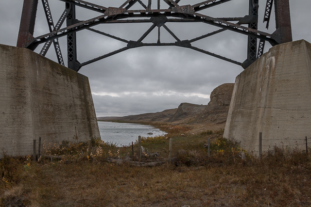
We spend too much time under bridges!
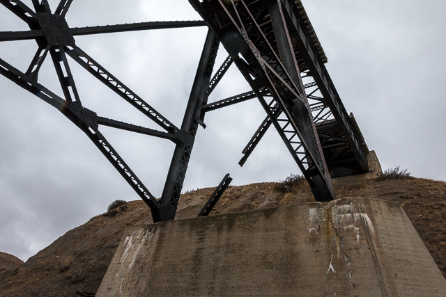
Note the missing steelwork.
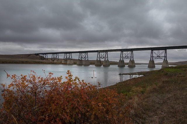
The Bow River is slow and placid here.
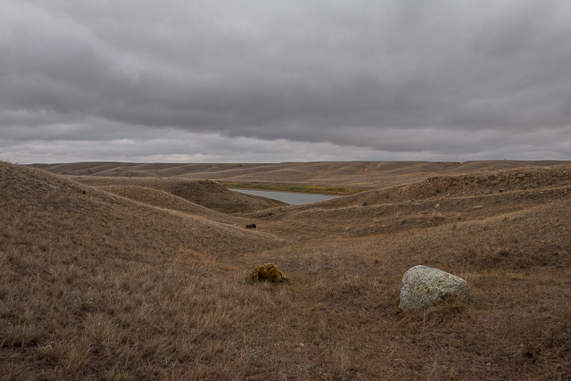
Only native grasses grow and little else.
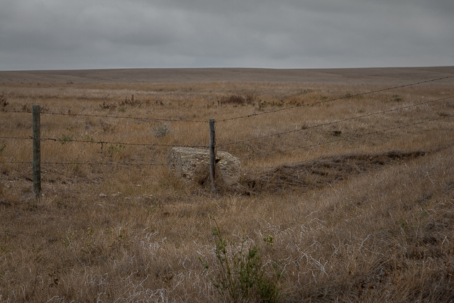
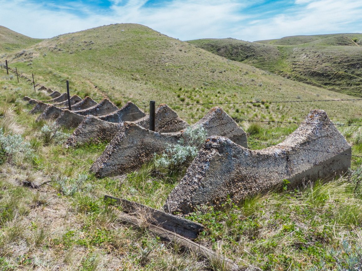
This odd chunk of concrete.
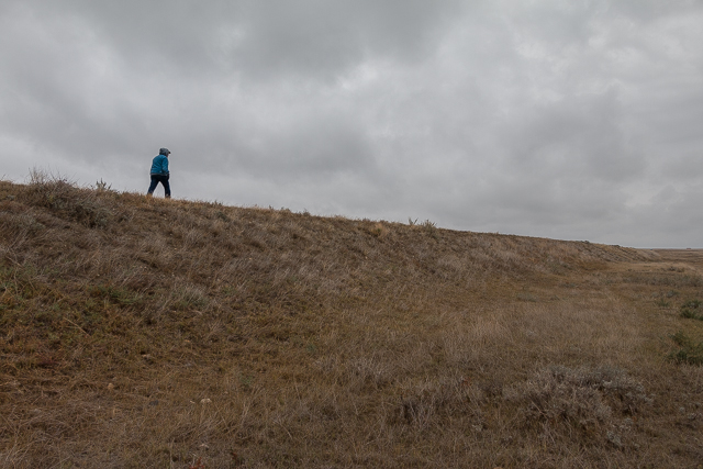
It was an gloomy day with sleet and a biting wind.
1947 Damaged by ice on the Bow River.
From the Douglas R Phillips collection and courtesy of Brian Hodgkins.
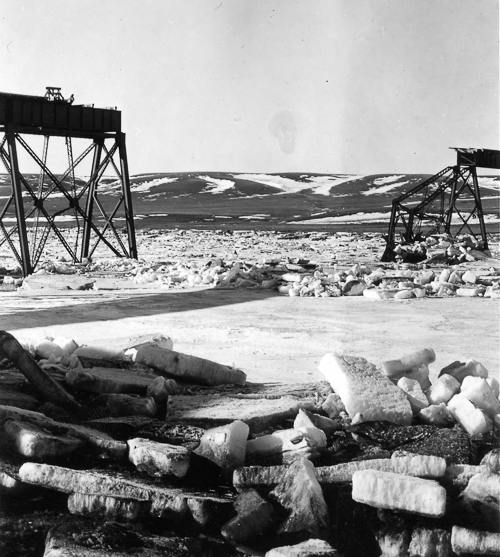
The ice choked Bow River.
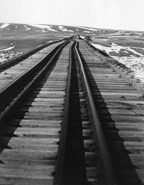
The structure shifted…
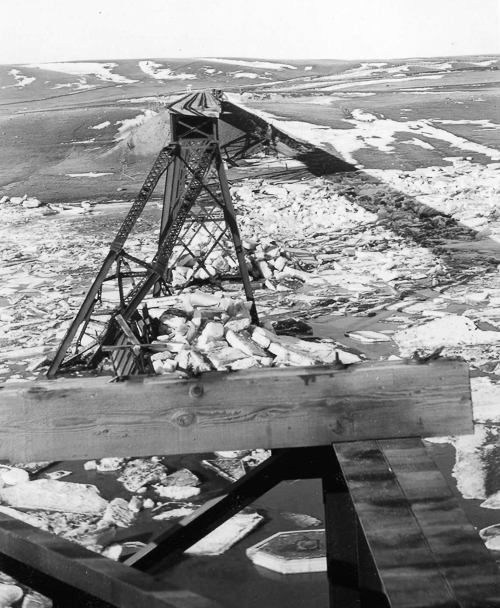
…And a few sections completely collapsed.
1947 During repairs.
From the Floyd Yeats collection and courtesy of Larry Buchan.
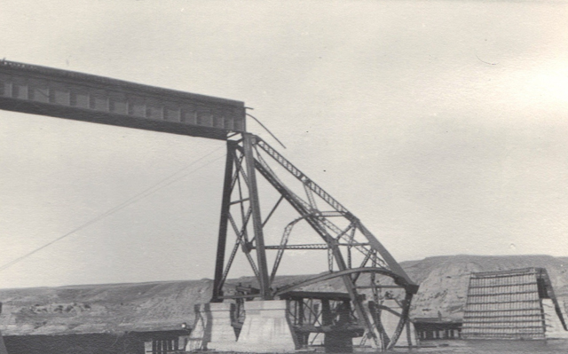
Mangled and twisted.
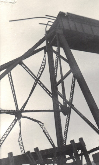
All because the Bow River turning ugly.
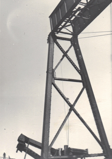
The damage was extensive as you can see.
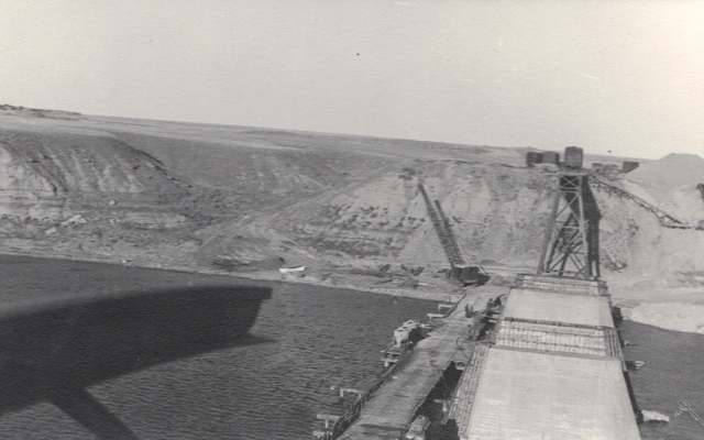
A big crane and the temporary work bridge.
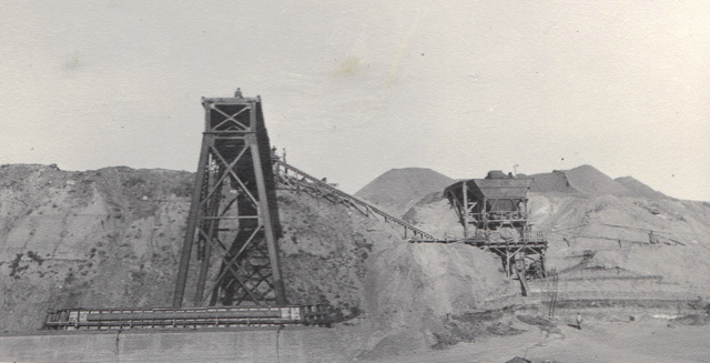
The gravel plant mentioned.
Miscellany.

Yeat’s book about the CPR’s Big Hill (1985).
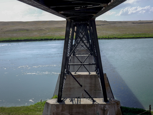
2012 visit – bridge is the same – Bow River is the same.
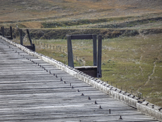
2012 visit – fire barrel platforms.



Comments are currently turned off